Skip to content
Destinations
Weather & climate
Nature
Outdoors
Culture
Events
Sky & live
Monne
Photo: Sylenius · CC BY-SA 3.0 · Wikimedia Commons
MonneReport this photo · linked, not stored
Veyre, Auvergne-Rhône-Alpes
Photo: Père Igor · CC BY-SA 3.0 · Wikimedia Commons
Veyre, Auvergne-Rhône-AlpesReport this photo · linked, not stored
Veyre, Auvergne-Rhône-Alpes
Couze Chambon
Photo: Romary · CC BY-SA 3.0 · Wikimedia Commons
Couze ChambonReport this photo · linked, not stored
Couze Chambon
Auzon, Le Cendre
Photo: Romary · CC BY-SA 3.0 · Wikimedia Commons
Auzon, Le CendreReport this photo · linked, not stored
Auzon, Le Cendre
cascade des Quayres
Photo: Jonathan Garrier · CC BY-SA 2.0 · Wikimedia Commons
cascade des QuayresReport this photo · linked, not stored
cascade des Quayres
RiverTallende, Auvergne-Rhône-Alpes

Monne

RiverBest Jun · Aug–Sep
Elevation–above sea level
Length28 kmsource to mouth
Nearest townTallende1.8 km
45.66° N, 3.15° EUTC+2 · Central European Summer Time
When to goTallende · weather score
JanFebMarAprMayJunJulAugSepOctNovDec66October
Best timeJun · Aug–Sep
October: high / low17° / 8°
River

Monne in brief

Monne is a river in Tallende, Auvergne-Rhône-Alpes, France.

The nearest town in the atlas is Tallende, 1.8 km to the W, where the weather is best in June, August and September.

Monne is 28 km long.

Tallende: weather and travel guide

Weather nearby now

Forecast for Tallende
13°
Cloudy now
Wind9 km/h
Humidity76%
Cloud cover100%
Today
22 Oct
14°
7°
Fri
23 Oct
14°
7°
4 mm
Sat
24 Oct
13°
6°
1 mm
Sun
25 Oct
16°
10°
4 mm
Mon
26 Oct
19°
9°

Model run 00:00 UTCRefreshed several times a day

The course of the river

As mapped in OpenStreetMap, with the towns of the atlas along its banks.
1234
  1. 1Olloix828 m
  2. 2Cournols790 m
  3. 3Saint-Sandoux603 m
  4. 4Saint-Saturnin521 m
sourcemouth (or where the mapped line leaves the country)
When to go

The best months around Monne

Climate of Tallende

Month score in Tallende

Comfort, dry days and sunshine · out of 100
24
Jan
30
Feb
44
Mar
58
Apr
64
May
70
Jun
66
Jul
69
Aug
76
Sep
66
Oct
29
Nov
23
Dec
Map

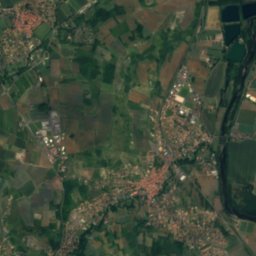
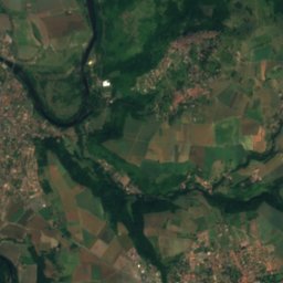
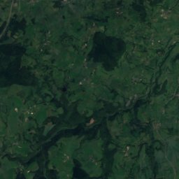
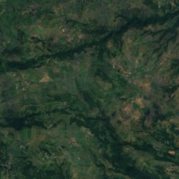
Monne from above

Nature nearbyAll of France
Photo: Père Igor · CC BY-SA 3.0 · Wikimedia CommonsReport this photo · linked, not stored
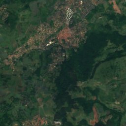
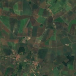
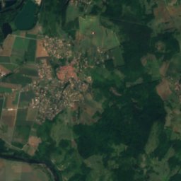
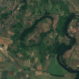
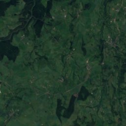
Veyre, Auvergne-Rhône-AlpesRiver5.0 kmNEVeyre, Auvergne-Rhône-Alpes
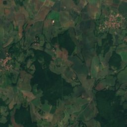
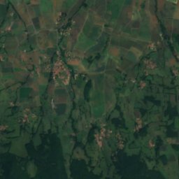
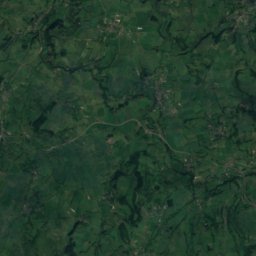
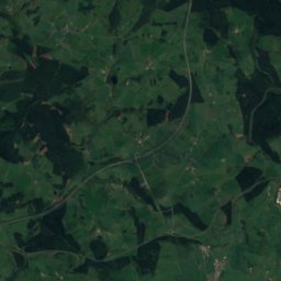
Satellite: Sentinel-2 cloudless 2016 by EOX IT Services GmbH · CC BY 4.0 · Contains modified Copernicus Sentinel data 2016
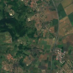
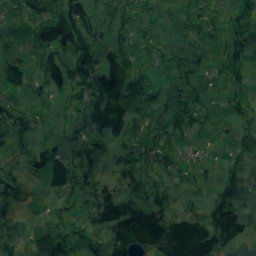
PignolsRiver5.7 kmEPignols
Photo: Romary · CC BY-SA 3.0 · Wikimedia CommonsReport this photo · linked, not stored
Couze ChambonRiver7.5 kmSECouze Chambon
Photo: Romary · CC BY-SA 3.0 · Wikimedia CommonsReport this photo · linked, not stored
Auzon, Le CendreRiver8.3 kmNEAuzon, Le Cendre
Photo: Jonathan Garrier · CC BY-SA 2.0 · Wikimedia CommonsReport this photo · linked, not stored
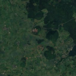
cascade des QuayresWaterfall8.4 kmEcascade des Quayres
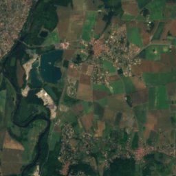
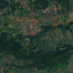
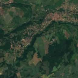
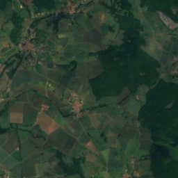
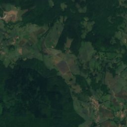
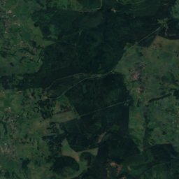
Satellite: Sentinel-2 cloudless 2016 by EOX IT Services GmbH · CC BY 4.0 · Contains modified Copernicus Sentinel data 2016
Les AssatsRiver9.0 kmELes Assats
Summits nearbyMountains of France
Photo: Tangopaso · Public domain · Wikimedia CommonsReport this photo · linked, not stored
Puy de la Tache25 km W1,629 mJuly 18°Puy de la Tache
Photo: Torsade de Pointes · CC0 · Wikimedia CommonsReport this photo · linked, not stored
Puy de Surains25 km SW1,542 mJuly 18°Puy de Surains
Photo: Pymouss · CC BY-SA 4.0 · Wikimedia CommonsReport this photo · linked, not stored
Puy de la Croix Morand24 km W1,520 mJuly 18°Puy de la Croix Morand
Photo: Pymouss · CC BY-SA 4.0 · Wikimedia CommonsReport this photo · linked, not stored
Puy de l'Ouire25 km W1,509 mJuly 19°Puy de l'Ouire
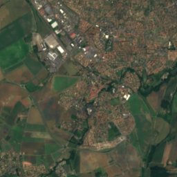
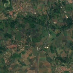
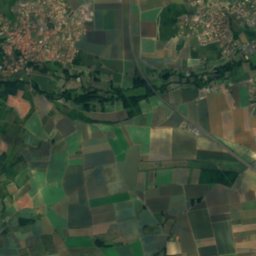
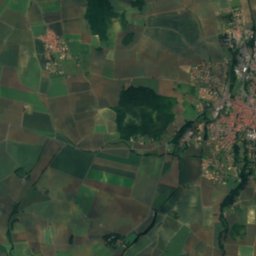
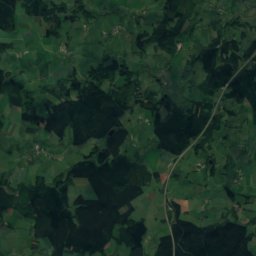
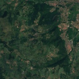
Satellite: Sentinel-2 cloudless 2016 by EOX IT Services GmbH · CC BY 4.0 · Contains modified Copernicus Sentinel data 2016
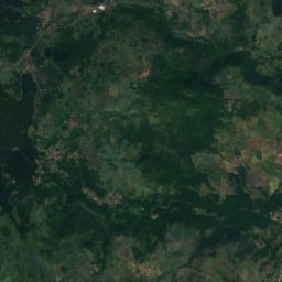
Puy de Baudet23 km W1,484 mJuly 18°Puy de Baudet
Photo: Pymouss · CC BY-SA 4.0 · Wikimedia CommonsReport this photo · linked, not stored
Puy Corde25 km W1,484 mJuly 18°Puy Corde
Stay nearby

Towns close by

Tallende
Photo: Bastien marie-françoise · CC BY-SA 4.0 · Wikimedia CommonsReport this photo · linked, not stored

Tallende

Auvergne-Rhône-Alpes · 1.8 km W
17°Oct high
11wet days
66score
Tallende
Veyre-Monton
Photo: SM63 · CC BY-SA 3.0 · Wikimedia CommonsReport this photo · linked, not stored

Veyre-Monton

Auvergne-Rhône-Alpes · 2.0 km E
18°Oct high
11wet days
68score
Veyre-Monton
Le Crest
Photo: Romary · CC BY 2.5 · Wikimedia CommonsReport this photo · linked, not stored

Le Crest

Auvergne-Rhône-Alpes · 2.9 km NW
17°Oct high
11wet days
63score
Le Crest
Saint-Amant-Tallende
Photo: Anthospace · CC BY-SA 3.0 · Wikimedia CommonsReport this photo · linked, not stored

Saint-Amant-Tallende

Auvergne-Rhône-Alpes · 3.0 km W
17°Oct high
11wet days
64score
Saint-Amant-Tallende
Around here

Tallende and around

Tallende
Photo: Bastien marie-françoise · CC BY-SA 4.0 · Wikimedia CommonsReport this photo · linked, not stored

Tallende

Auvergne-Rhône-Alpes · France
Jun · Aug–Sepbest months
27°July high
399 maltitude
Tallende

Nature

Lac d'Aydat
Photo: Unknown author · CC BY-SA 2.0 fr · Wikimedia CommonsReport this photo · linked, not stored
11 km W

Lac d'Aydat

Lake · 837 m
Lac d'Aydat
Veyre, Auvergne-Rhône-Alpes
Photo: Père Igor · CC BY-SA 3.0 · Wikimedia CommonsReport this photo · linked, not stored
6.3 km E

Veyre, Auvergne-Rhône-Alpes

River
Veyre, Auvergne-Rhône-Alpes
Couze Chambon
Photo: Romary · CC BY-SA 3.0 · Wikimedia CommonsReport this photo · linked, not stored
9.1 km SE

Couze Chambon

River · 354 m
Couze Chambon

Mountains

Puy de Sancy
Photo: Marie-Lan Nguyen · CC BY 4.0 · Wikimedia CommonsReport this photo · linked, not stored
29 km SW

Puy de Sancy

1,885 m · Massif Central
Puy de Sancy
Puy Ferrand
Photo: Tangopaso · Public domain · Wikimedia CommonsReport this photo · linked, not stored
28 km SW

Puy Ferrand

1,854 m · Monts Dore
Puy Ferrand
Puy de la Perdrix
Photo: Sucreroux · CC BY-SA 4.0 · Wikimedia CommonsReport this photo · linked, not stored
29 km SW

Puy de la Perdrix

1,824 m · Monts Dore
Puy de la Perdrix

Heritage

Notre-Dame Church of Saint-Saturnin
Photo: EmDee · CC BY-SA 3.0 · Wikimedia CommonsReport this photo · linked, not stored
2.7 km SW

Notre-Dame Church of Saint-Saturnin

classified historical monument
Notre-Dame Church of Saint-Saturnin
Château de Saint-Saturnin
Photo: Christophe.Finot · CC BY-SA 2.5 · Wikimedia CommonsReport this photo · linked, not stored
2.8 km SW

Château de Saint-Saturnin

monument historique inscrit
Château de Saint-Saturnin
Château de Murol en Saint Amant
Photo: Murolensaintamant · CC BY-SA 4.0 · Wikimedia CommonsReport this photo · linked, not stored
1.3 km W

Château de Murol en Saint Amant

monument historique inscrit
Château de Murol en Saint Amant

Museums

Musée Bargoin
Photo: Fabien1309 · CC BY-SA 2.0 fr · Wikimedia CommonsReport this photo · linked, not stored
12 km N

Musée Bargoin

Archaeological museum · 1903
Musée Bargoin
Musée d'Art Roger-Quilliot
Photo: Ymblanter · CC BY-SA 4.0 · Wikimedia CommonsReport this photo · linked, not stored
14 km N

Musée d'Art Roger-Quilliot

Art museum · 1992
Musée d'Art Roger-Quilliot
L'Aventure Michelin
Photo: TCY · CC0 · Wikimedia CommonsReport this photo · linked, not stored
13 km N

L'Aventure Michelin

Automobile museum · 2009
L'Aventure Michelin