
IslandAssens, South Denmark
Bågø
IslandBest Jun–Aug
Elevation–above sea level
Area6.2 km²surface
Nearest townAssens7.4 km
55.31° N, 9.81° EUTC+1 · Central European Standard Time
When to goAssens · weather score
Best timeJun–Aug
October: high / low13° / 8°
Island
Bågø in brief
Bågø is an island in Assens, South Denmark, Denmark — Danish island located in the Little Belt.
It covers about 6.2 km².
The nearest town is Assens, 7.4 km to the SE, where the weather is best in June, July and August.
Weather nearby now
Forecast for Assens11°
Cloudy now
Today
27 Oct
15°
11°
4 mm
Wed
28 Oct
14°
10°
1 mm
Thu
29 Oct
14°
9°
1 mm
Fri
30 Oct
12°
9°
Sat
31 Oct
12°
11°
Model run 12:00 UTCRefreshed several times a day
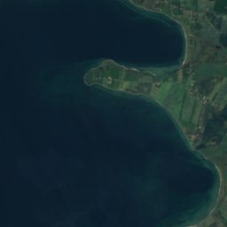
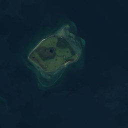
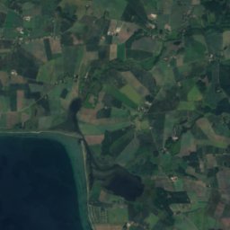
The island from above
6.2 km² · coastline as mapped in OpenStreetMapMap
Bågø from above
Nature nearbyAll of Denmark
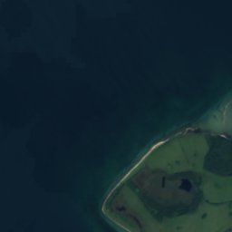
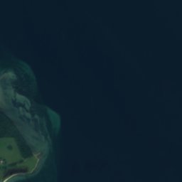
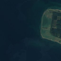
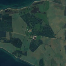
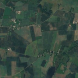
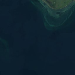



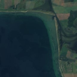


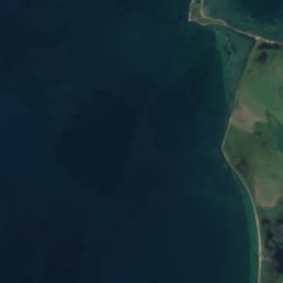
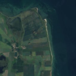

Satellite: Sentinel-2 cloudless 2016 by EOX IT Services GmbH · CC BY 4.0 · Contains modified Copernicus Sentinel data 2016
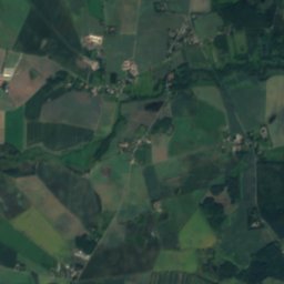
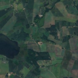
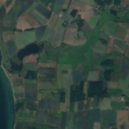
Satellite: Sentinel-2 cloudless 2016 by EOX IT Services GmbH · CC BY 4.0 · Contains modified Copernicus Sentinel data 2016

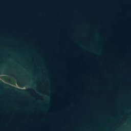

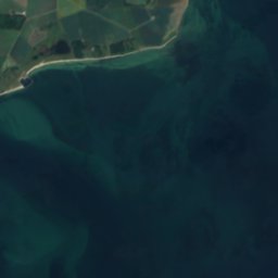

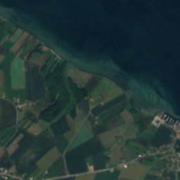
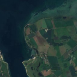
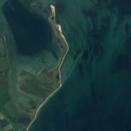

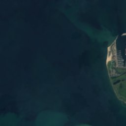
Satellite: Sentinel-2 cloudless 2016 by EOX IT Services GmbH · CC BY 4.0 · Contains modified Copernicus Sentinel data 2016
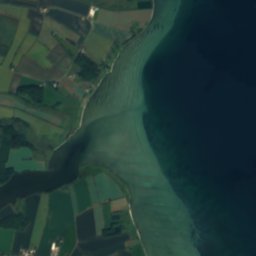
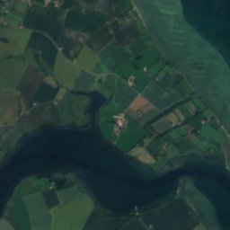
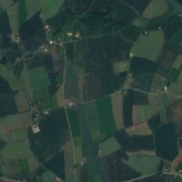
Satellite: Sentinel-2 cloudless 2016 by EOX IT Services GmbH · CC BY 4.0 · Contains modified Copernicus Sentinel data 2016
Satellite: Sentinel-2 cloudless 2016 by EOX IT Services GmbH · CC BY 4.0 · Contains modified Copernicus Sentinel data 2016


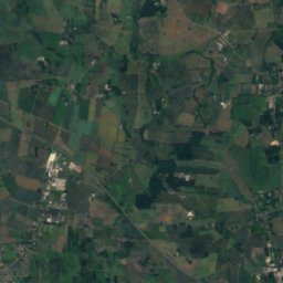
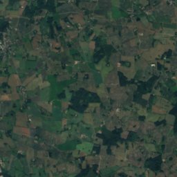

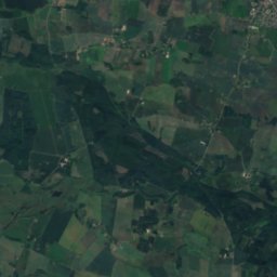
Around here
Assens and around
Nature


Photo: Nils Jepsen /user:Nico · CC BY-SA 4.0 · Wikimedia CommonsReport this photo · linked, not stored
Torø
Island
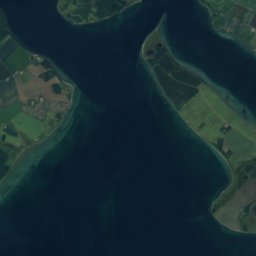
Satellite: Sentinel-2 cloudless 2016 by EOX IT Services GmbH · CC BY 4.0 · Contains modified Copernicus Sentinel data 2016
Egholm, South Denmark
Island
Heritage

Photo: Jens Rost from Taastrup, Greater Copenhagen Region, Denmark, Scandinavia. · CC BY-SA 2.0 · Wikimedia CommonsReport this photo · linked, not stored
Assens station
monument on Kulturstyrelsen register · 1884


Photo: Nils Jepsen / user:Nico · CC BY-SA 4.0 · Wikimedia CommonsReport this photo · linked, not stored
Hagenskov
monument on Kulturstyrelsen register
Museums







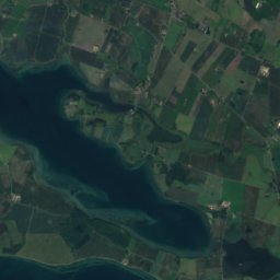
Satellite: Sentinel-2 cloudless 2016 by EOX IT Services GmbH · CC BY 4.0 · Contains modified Copernicus Sentinel data 2016
Vestfyns Kunstmuseum
Art museum



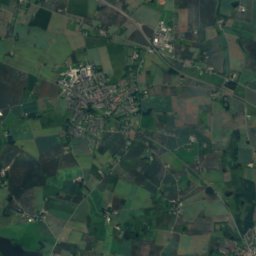
Satellite: Sentinel-2 cloudless 2016 by EOX IT Services GmbH · CC BY 4.0 · Contains modified Copernicus Sentinel data 2016
Strøjer Samlingen
Automobile museum