Skip to content
Destinations
Weather & climate
Nature
Outdoors
Culture
Events
Sky & live
Årø
Photo: RokerHRO · CC BY 3.0 · Wikimedia Commons
ÅrøReport this photo · linked, not stored
IslandÅrøsund, South Denmark

Årø

IslandBest Jun–Aug
Elevation–above sea level
Area5.8 km²surface
Nearest townÅrøsund2.5 km
55.26° N, 9.75° EUTC+2 · Central European Summer Time
When to goÅrøsund · weather score
JanFebMarAprMayJunJulAugSepOctNovDec33October
Best timeJun–Aug
October: high / low13° / 8°
Island

Årø in brief

Årø is an island in Årøsund, South Denmark, Denmark — Danish island.

It covers about 5.8 km².

The nearest town in the atlas is Årøsund, 2.5 km to the W, where the weather is best in June, July and August.

Årøsund: weather and travel guide

Weather nearby now

Forecast for Årøsund
11°
Partly cloudy now
Wind20 km/h
Humidity86%
Cloud cover25%
Today
23 Oct
13°
9°
2 mm
Sat
24 Oct
14°
10°
6 mm
Sun
25 Oct
12°
10°
18 mm
Mon
26 Oct
13°
10°
1 mm
Tue
27 Oct
15°
10°
1 mm

Model run 12:00 UTCRefreshed several times a day

The island from above

5.8 km² · coastline as mapped in OpenStreetMap
1 km
When to go

The best months around Årø

Climate of Årøsund

Month score in Årøsund

Comfort, dry days and sunshine · out of 100
14
Jan
23
Feb
26
Mar
35
Apr
55
May
69
Jun
66
Jul
65
Aug
61
Sep
33
Oct
15
Nov
14
Dec
Map

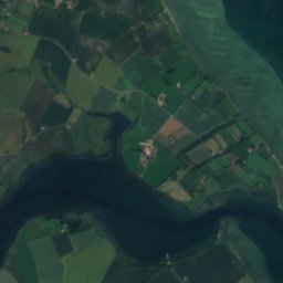
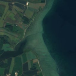
Årø from above

Nature nearbyAll of Denmark
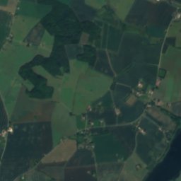
Satellite: Sentinel-2 cloudless 2016 by EOX IT Services GmbH · CC BY 4.0 · Contains modified Copernicus Sentinel data 2016
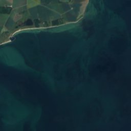
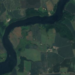
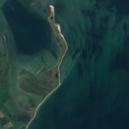
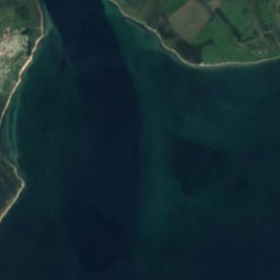
Syvsig HageIsland1.6 kmSWSyvsig Hage
Satellite: Sentinel-2 cloudless 2016 by EOX IT Services GmbH · CC BY 4.0 · Contains modified Copernicus Sentinel data 2016

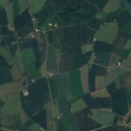
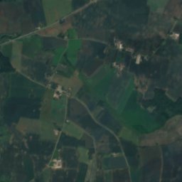
Årø SandeIsland1.9 kmSEÅrø Sande
Satellite: Sentinel-2 cloudless 2016 by EOX IT Services GmbH · CC BY 4.0 · Contains modified Copernicus Sentinel data 2016

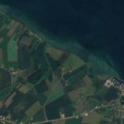
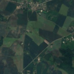
Bågø FlakIsland2.3 kmEBågø Flak
Satellite: Sentinel-2 cloudless 2016 by EOX IT Services GmbH · CC BY 4.0 · Contains modified Copernicus Sentinel data 2016

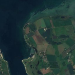
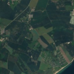
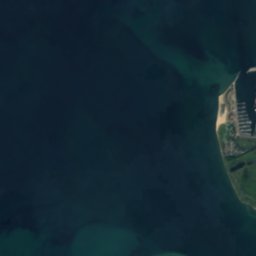
Bastholm HageIsland2.6 kmNEBastholm Hage
Satellite: Sentinel-2 cloudless 2016 by EOX IT Services GmbH · CC BY 4.0 · Contains modified Copernicus Sentinel data 2016

SmåholmeIsland2.6 kmNESmåholme
Satellite: Sentinel-2 cloudless 2016 by EOX IT Services GmbH · CC BY 4.0 · Contains modified Copernicus Sentinel data 2016
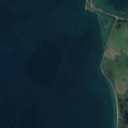
BastholmIsland2.8 kmNEBastholm
Stay nearby

Towns close by

Årøsund
Photo: Hjart · CC BY-SA 4.0 · Wikimedia CommonsReport this photo · linked, not stored

Årøsund

South Denmark · 2.5 km W
13°Oct high
15wet days
33score
Årøsund
Assens
Photo: Danielle dk · CC BY-SA 4.0 · Wikimedia CommonsReport this photo · linked, not stored

Assens

South Denmark · 9.8 km E
13°Oct high
15wet days
33score
Assens
Starup
Photo: JEK · CC BY-SA 3.0 · Wikimedia CommonsReport this photo · linked, not stored

Starup

South Denmark · 14 km W
13°Oct high
15wet days
32score
Starup
Ebberup
Photo: Beethoven9 · CC BY-SA 4.0 · Wikimedia CommonsReport this photo · linked, not stored

Ebberup

South Denmark · 15 km E
13°Oct high
15wet days
32score
Ebberup
Around here

Årøsund and around

Årøsund
Photo: Hjart · CC BY-SA 4.0 · Wikimedia CommonsReport this photo · linked, not stored

Årøsund

South Denmark · Denmark
Jun–Augbest months
21°July high
10 maltitude
Årøsund

Nature

Haderslev Dam
Photo: Jens Christensen, Haderslev, Denmark · CC BY-SA 4.0 · Wikimedia CommonsReport this photo · linked, not stored
16 km W

Haderslev Dam

Lake
Haderslev Dam
Slivsø
Photo: Hjart · CC BY-SA 4.0 · Wikimedia CommonsReport this photo · linked, not stored
18 km SW

Slivsø

Lake
Slivsø
Nordborg Sø
Photo: Rüdiger Stehn from Kiel, Deutschland · CC BY-SA 2.0 · Wikimedia CommonsReport this photo · linked, not stored
22 km S

Nordborg Sø

Lake · 3 m
Nordborg Sø

Heritage

Assens station
Photo: Jens Rost from Taastrup, Greater Copenhagen Region, Denmark, Scandinavia. · CC BY-SA 2.0 · Wikimedia CommonsReport this photo · linked, not stored
12 km E

Assens station

monument on Kulturstyrelsen register · 1884
Assens station
Baago lighthouse
Photo: Unknown author · Public domain · Wikimedia CommonsReport this photo · linked, not stored
7.0 km NE

Baago lighthouse

monument on Kulturstyrelsen register · 1816
Baago lighthouse
Hertug Hans Hospitalskirke
Photo: JEK · CC BY-SA 3.0 · Wikimedia CommonsReport this photo · linked, not stored
14 km W

Hertug Hans Hospitalskirke

monument on Kulturstyrelsen register · 1569
Hertug Hans Hospitalskirke

Museums

Assens Toldkammer
Photo: Nol Aders · CC BY-SA 3.0 · Wikimedia CommonsReport this photo · linked, not stored
12 km E

Assens Toldkammer

Assens Toldkammer
Satellite: Sentinel-2 cloudless 2016 by EOX IT Services GmbH · CC BY 4.0 · Contains modified Copernicus Sentinel data 2016
12 km E

Vestfyns Kunstmuseum

Art museum
Vestfyns Kunstmuseum