
Photo: Philipp Weigell · CC BY 3.0 · Wikimedia Commons
Siecha LakesReport this photo · linked, not stored
Siecha LakesReport this photo · linked, not stored

Photo: Tisquesusa · CC BY 4.0 · Wikimedia Commons
Tominé ReservoirReport this photo · linked, not stored
Tominé ReservoirTominé ReservoirReport this photo · linked, not stored

Photo: t_y_l · CC BY 2.0 · Wikimedia Commons
Cascada La ChorreraReport this photo · linked, not stored
Cascada La ChorreraCascada La ChorreraReport this photo · linked, not stored
LakeLa Calera, Cundinamarca
Siecha Lakes
LakeBest Jan–Feb · Dec
Elevation–above sea level
Area–surface
Nearest townLa Calera14 km
4.76° N, 73.85° WUTC−5 · Colombia Standard Time
When to goLa Calera · weather score
Best timeJan–Feb · Dec
October: high / low19° / 9°
Lake
Siecha Lakes in brief
Siecha Lakes is a lake in La Calera, Cundinamarca, Colombia — body of water.
The nearest town in the atlas is La Calera, 14 km to the W, where the weather is best in January, February and December.
Weather nearby now
Forecast for La Calera19°
Showers now
Today
22 Oct
19°
9°
6 mm
Fri
23 Oct
19°
10°
8 mm
Sat
24 Oct
19°
9°
10 mm
Sun
25 Oct
19°
10°
11 mm
Mon
26 Oct
17°
11°
2 mm
Model run 00:00 UTCRefreshed several times a day
When to go
Climate of La CaleraThe best months around Siecha Lakes
Month score in La Calera
Comfort, dry days and sunshine · out of 10072
Jan
64
Feb
53
Mar
47
Apr
43
May
43
Jun
45
Jul
50
Aug
51
Sep
50
Oct
52
Nov
58
Dec
Map
Siecha Lakes from above
Nature nearbyAll of Colombia
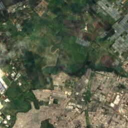
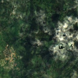
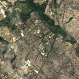
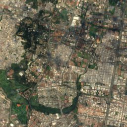
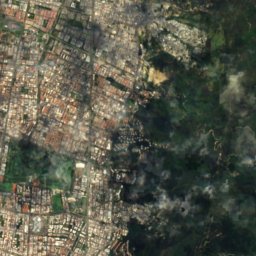
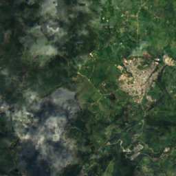
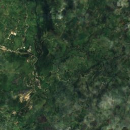
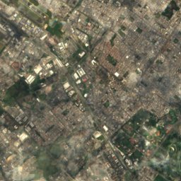
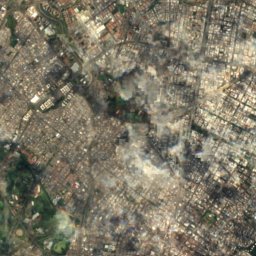
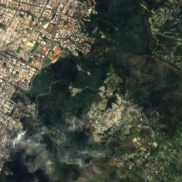
Satellite: Sentinel-2 cloudless 2016 by EOX IT Services GmbH · CC BY 4.0 · Contains modified Copernicus Sentinel data 2016
Satellite: Sentinel-2 cloudless 2016 by EOX IT Services GmbH · CC BY 4.0 · Contains modified Copernicus Sentinel data 2016


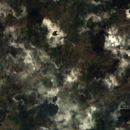
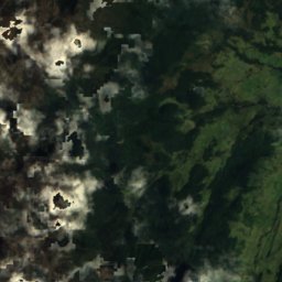
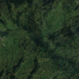
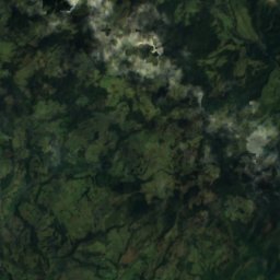
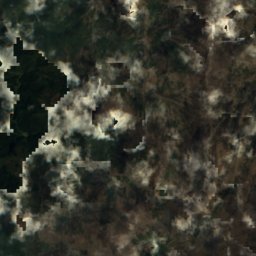
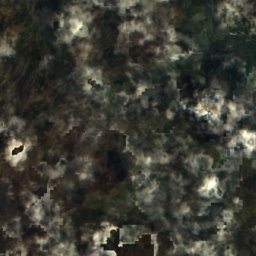
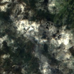
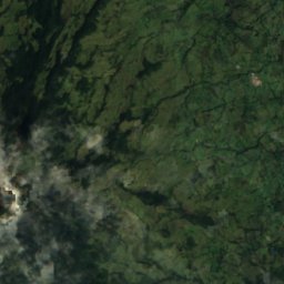
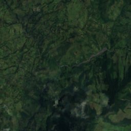
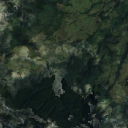
Satellite: Sentinel-2 cloudless 2016 by EOX IT Services GmbH · CC BY 4.0 · Contains modified Copernicus Sentinel data 2016
Stay nearby
Towns close by
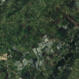
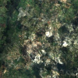
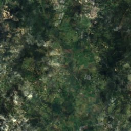
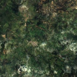
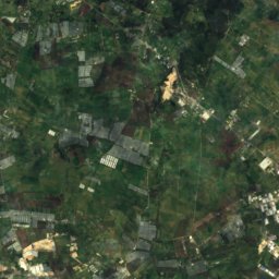
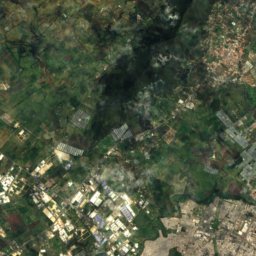
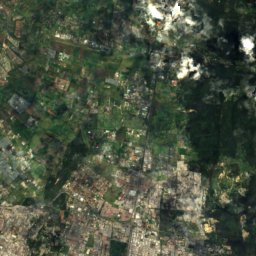
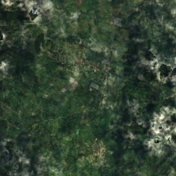
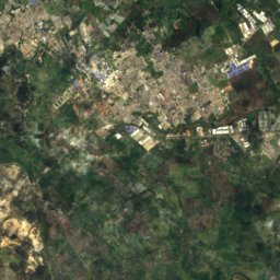
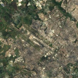
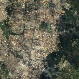
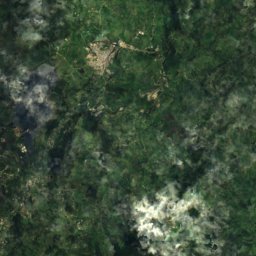
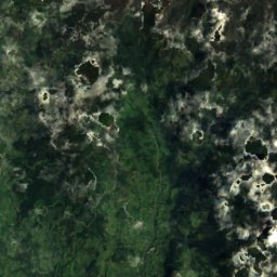
Satellite: Sentinel-2 cloudless 2016 by EOX IT Services GmbH · CC BY 4.0 · Contains modified Copernicus Sentinel data 2016
La Calera
Cundinamarca · 14 km W
19°Oct high
24wet days
50score
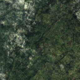
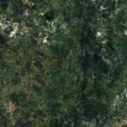
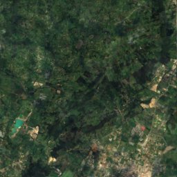
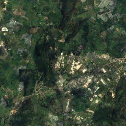
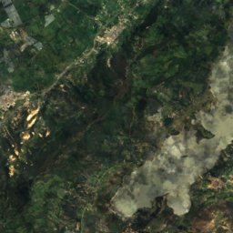
Satellite: Sentinel-2 cloudless 2016 by EOX IT Services GmbH · CC BY 4.0 · Contains modified Copernicus Sentinel data 2016
Bosconia
Cundinamarca · 18 km NW
18°Oct high
24wet days
49score

Photo: Felipe Restrepo Acosta · CC BY-SA 3.0 · Wikimedia CommonsReport this photo · linked, not stored
Barrio San Luis
Bogota D.C. · 22 km SW
17°Oct high
24wet days
45score

Photo: Felipe Restrepo Acosta · CC BY-SA 4.0 · Wikimedia CommonsReport this photo · linked, not stored
Chía
Cundinamarca · 25 km NW
19°Oct high
24wet days
52score
Around here
La Calera and around
Nature
Satellite: Sentinel-2 cloudless 2016 by EOX IT Services GmbH · CC BY 4.0 · Contains modified Copernicus Sentinel data 2016
San Rafael Reservoir
Lake · 2,780 m
Satellite: Sentinel-2 cloudless 2016 by EOX IT Services GmbH · CC BY 4.0 · Contains modified Copernicus Sentinel data 2016
Embalse San Rafael
Lake · 2,781 m

Photo: Felipe Restrepo Acosta · CC BY-SA 3.0 · Wikimedia CommonsReport this photo · linked, not stored
Fucha River
River
Mountains


Photo: Felipe Restrepo Acosta · CC BY-SA 4.0 · Wikimedia CommonsReport this photo · linked, not stored
Monserrate
3,152 m · Cordillera Oriental
Heritage
Photo: Felipe Restrepo Acosta · CC BY-SA 3.0 · Wikimedia CommonsReport this photo · linked, not stored
Gimnasio Moderno
National Monuments of Colombia · 1914

Photo: Felipe Restrepo Acosta · CC BY-SA 3.0 · Wikimedia CommonsReport this photo · linked, not stored
Parque nacional Enrique Olaya Herrera
National Monuments of Colombia

Photo: Felipe Restrepo Acosta · CC BY-SA 3.0 · Wikimedia CommonsReport this photo · linked, not stored
Hacienda Santa Bárbara
National Monuments of Colombia
Museums

Photo: Felipe Restrepo Acosta · CC BY-SA 3.0 · Wikimedia CommonsReport this photo · linked, not stored
Children's Museum of Bogotá
Children's museum · 1987


