Nature
Waters, ice and wild places of Colombia
Lakes, waterfalls, glaciers, national parks and mountain huts, each with its location, its size and the weather of the towns around it.
Lakes76with a page
Waterfalls9with a page
Glaciers7with a page
National parks9with a page

Photo: Sebastian David Martinez Canchala · CC BY-SA 4.0 · Wikimedia CommonsReport this photo · linked, not stored
Lakes
Lakes of Colombia

Photo: Sebastian David Martinez Canchala · CC BY-SA 4.0 · Wikimedia CommonsReport this photo · linked, not stored
Laguna de la Cocha
Puerres, Nariño
42 km²


Photo: Carlos Andrés Martínez Santos · CC BY-SA 4.0 · Wikimedia CommonsReport this photo · linked, not stored
Laguna de Los Tunjos
Usme, Bogota D.C.

Laguna Negra, Parque Nacional los Nevados
Villamaría, Caldas Department
0.0 km²
All 76 lakes
- Amaní Reservoir
- Ciénaga Buenaventura
- Ciénaga Capote
- Ciénaga de Pijiño
- Ciénaga de Poza Verde
- Ciénaga de Reje
- Ciénaga de Ruede
- Ciénaga de San Antonio
- Ciénaga de Tesca
- Ciénaga de Tocaguá
- Ciénaga de Trementino
- Ciénaga de Zura
- Ciénaga del Sepo
- Ciénaga del Tigre
- Ciénaga el Sorro
- Ciénaga El Uvero
- Ciénaga la Puntalarga
- Ciénaga La Sardina
- Ciénaga los Suanes
- Ciénaga Pedregosa
- Ciénaga Peralejo, Bolívar
- Ciénaga Perico
- Ciénaga Pesquería, Magdalena Department
- Ciénaga Pinalito
- Ciénaga Pivijay
- Ciénaga Playa Afuera
- Ciénaga Playoncito
- Ciénaga Punta Faro
- Ciénaga Remolino
- Ciénaga Rincon de Moreneros
- Ciénaga Robles
- Ciénaga Sabana Grande
- Ciénaga San José
- Ciénaga San Nicolás
- Ciénaga Santo Tomás
- Ciénaga Silveria
- Ciénaga Suan
- Ciénaga Suancito
- Ciénaga Tupe
- Ciénaga Zarzal, Bolívar
- Embalse de Chuza
- Embalse del Muña
- Embalse del Neusa
- Embalse del Peñol
- Embalse El Hato
- Embalse Guajaro
- Embalse La Fe
- Embalse Quebradona
- Embalse Río Bobo
- Embalse San Rafael
- lac Arroyo Matuya
- Lago de Sochagota
- Laguna de Cumbal
- Laguna de la Cocha
- Laguna de Los Tunjos
- Laguna del Silencio
- Laguna Negra
- Laguna Negra, Parque Nacional los Nevados
- Laguna Pitpir
- Laguna San Rafael
- Laguna Santa Isabel
- Laguna Tapegua
- Laguna Termal
- Laguna Verde
- Lake Guatavita
- Lake Otún
- Lake Tota
- Represa Comeguada
- Represa de La Regadera
- Represa La García
- Represa Piedras Blancas
- Represa Tibitó
- San Rafael Reservoir
- Siecha Lakes
- Sochagota Lake
- Tominé Reservoir
Waterfalls
Waterfalls of Colombia


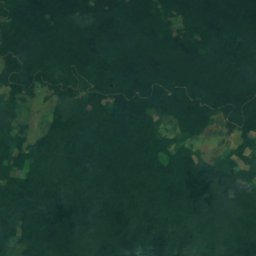
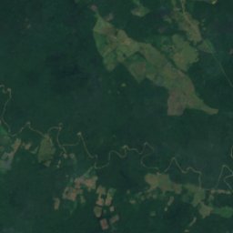
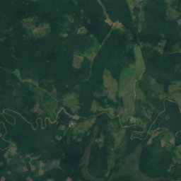
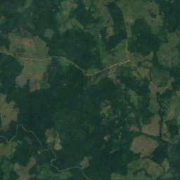
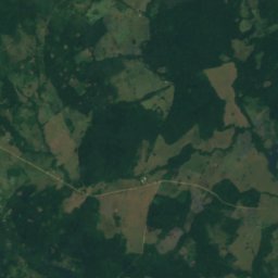
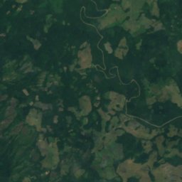
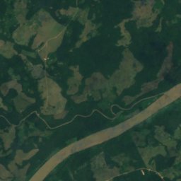
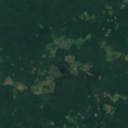
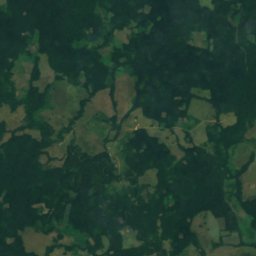
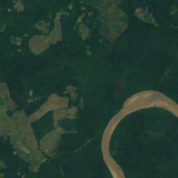
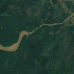
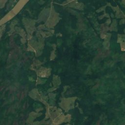
Satellite: Sentinel-2 cloudless 2016 by EOX IT Services GmbH · CC BY 4.0 · Contains modified Copernicus Sentinel data 2016
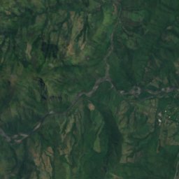
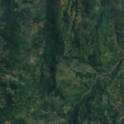
Salto Angostura Segundo
Puerto Concordia, Meta Department
245 m
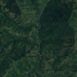
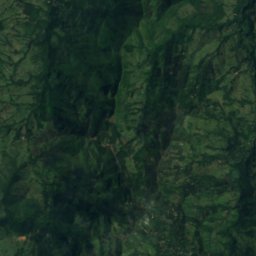
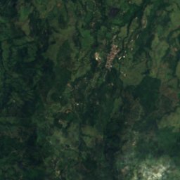
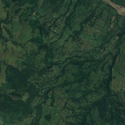
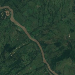
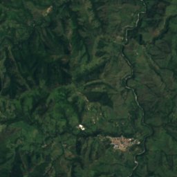
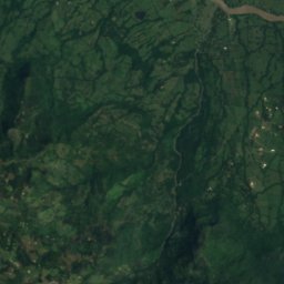
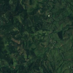
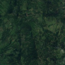
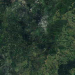
Satellite: Sentinel-2 cloudless 2016 by EOX IT Services GmbH · CC BY 4.0 · Contains modified Copernicus Sentinel data 2016
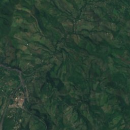
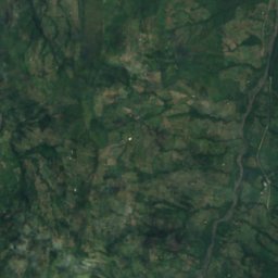
Salto Cedrón
Jericó, Antioquia
2,160 m
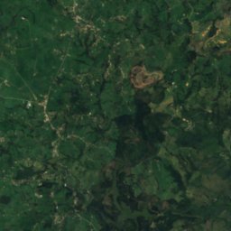
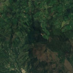
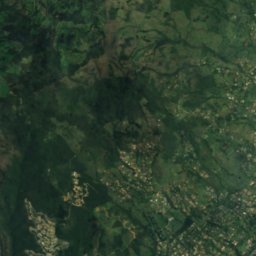
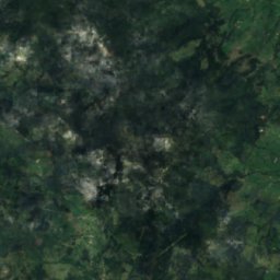
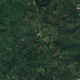
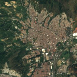
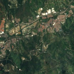
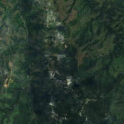
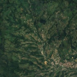
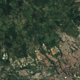
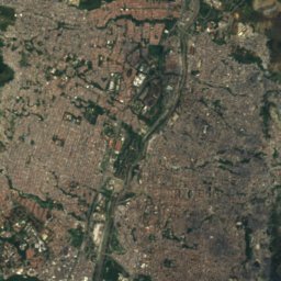
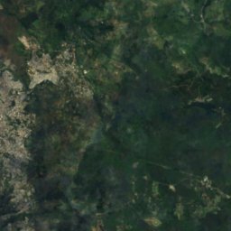
Satellite: Sentinel-2 cloudless 2016 by EOX IT Services GmbH · CC BY 4.0 · Contains modified Copernicus Sentinel data 2016
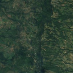
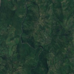
Salto Chorrolato
Bello, Antioquia
2,300 m
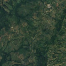
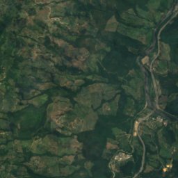
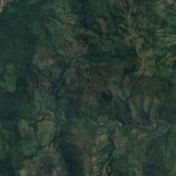
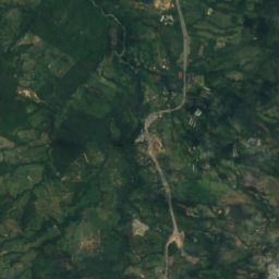
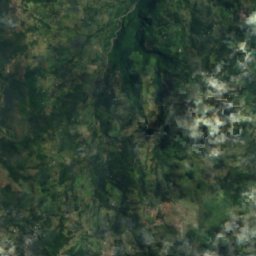
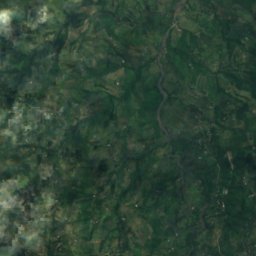
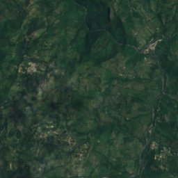
Satellite: Sentinel-2 cloudless 2016 by EOX IT Services GmbH · CC BY 4.0 · Contains modified Copernicus Sentinel data 2016
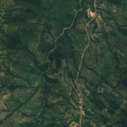
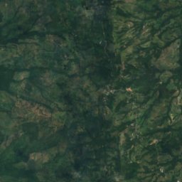
Salto de Las Cabras
Puerto Bogotá, Cundinamarca
1,471 m
Glaciers
Glaciers of Colombia


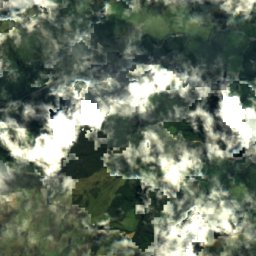
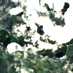
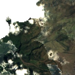
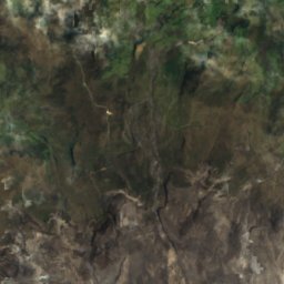
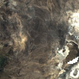
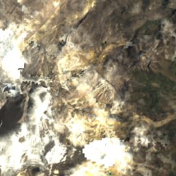
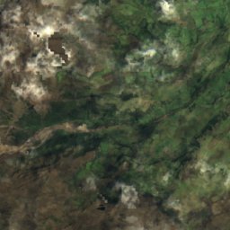
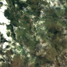
Satellite: Sentinel-2 cloudless 2016 by EOX IT Services GmbH · CC BY 4.0 · Contains modified Copernicus Sentinel data 2016
Nevado del Ruiz
Murillo, Tolima Department
5,389 m
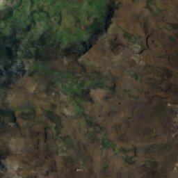
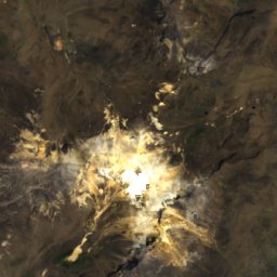
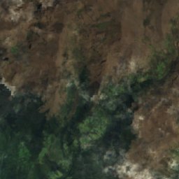
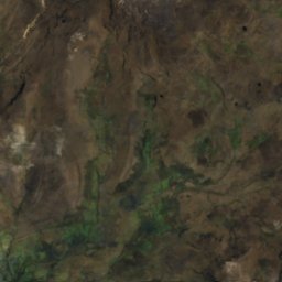
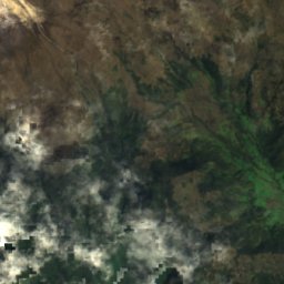
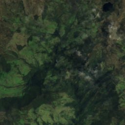
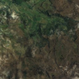
Satellite: Sentinel-2 cloudless 2016 by EOX IT Services GmbH · CC BY 4.0 · Contains modified Copernicus Sentinel data 2016
Nevado del Tolima
Salento, Quindío Department
5,200 m
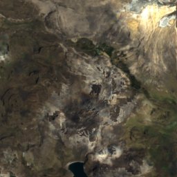
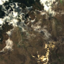
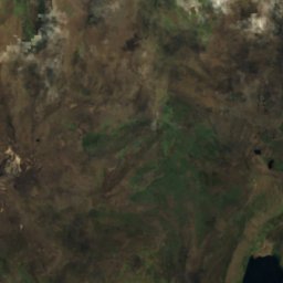
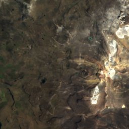
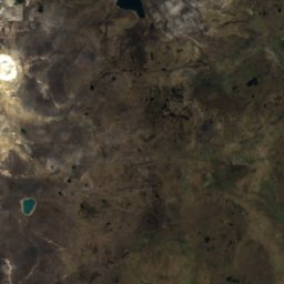
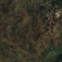
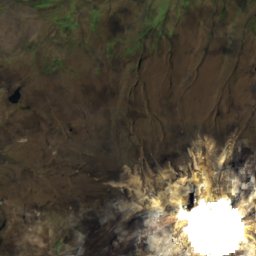
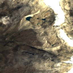
Satellite: Sentinel-2 cloudless 2016 by EOX IT Services GmbH · CC BY 4.0 · Contains modified Copernicus Sentinel data 2016
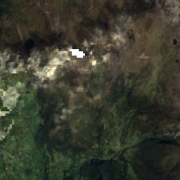
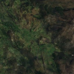
Nevado Santa Isabel
Murillo, Tolima Department
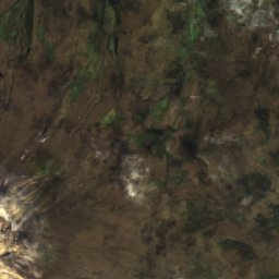
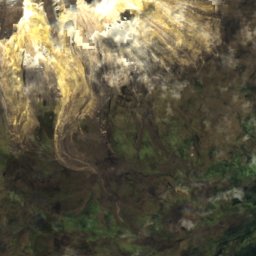
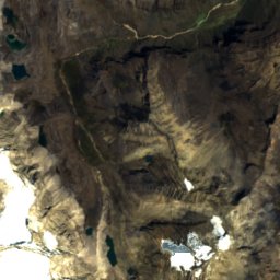
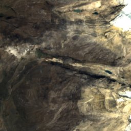
Satellite: Sentinel-2 cloudless 2016 by EOX IT Services GmbH · CC BY 4.0 · Contains modified Copernicus Sentinel data 2016
Conejeras Glacier
Murillo, Tolima Department
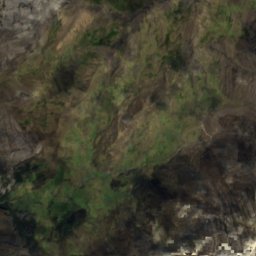
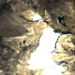
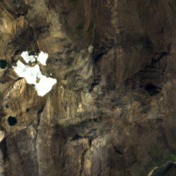
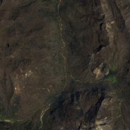
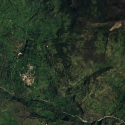
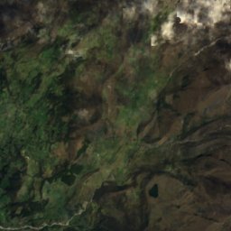
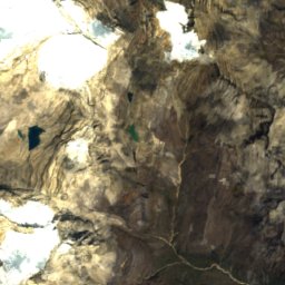
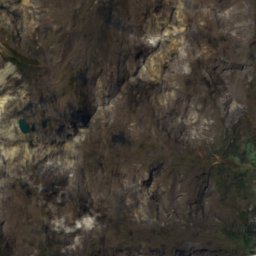
Satellite: Sentinel-2 cloudless 2016 by EOX IT Services GmbH · CC BY 4.0 · Contains modified Copernicus Sentinel data 2016
Pulpito Del Diablo Glacier
Güicán, Boyacá
National parks
National parks of Colombia

Photo: Mauricioagudelo~commonswiki · CC BY-SA 3.0 · Wikimedia CommonsReport this photo · linked, not stored
Los Nevados National Natural Park
Murillo, Tolima Department
4,514 m

Photo: Felipe Restrepo Acosta · CC BY-SA 4.0 · Wikimedia CommonsReport this photo · linked, not stored
Tayrona National Natural Park
Santa Marta, Magdalena Department
20 m

Rosario and San Bernardo Corals National Natural Park
Rincón del Mar, Sucre Department
1,235 km²

Farallones de Cali National Natural Park
Jamundí, Valle del Cauca Department
20,527 km²

Photo: Luis Alejandro Bernal Romero http://aztlek.com · CC BY-SA 2.0 · Wikimedia CommonsReport this photo · linked, not stored
Chingaza National Natural Park
Choachí, Cundinamarca
77 km²


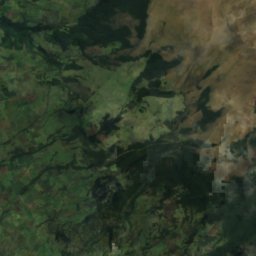
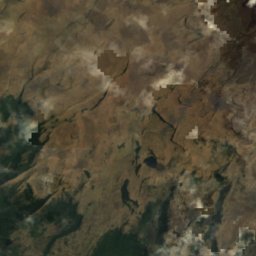
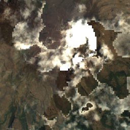
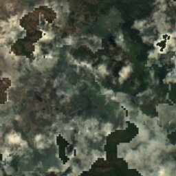
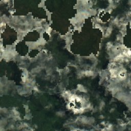
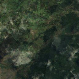
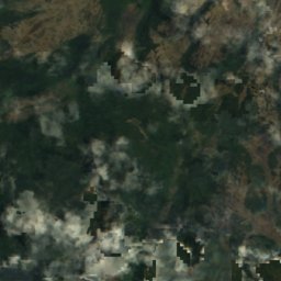
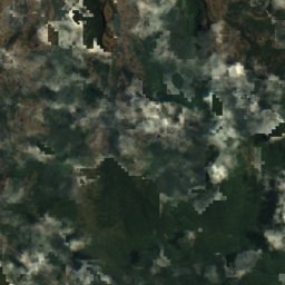
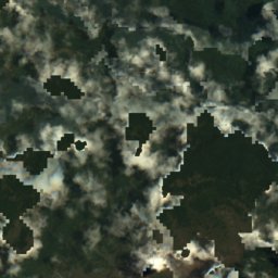
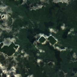
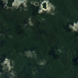
Satellite: Sentinel-2 cloudless 2016 by EOX IT Services GmbH · CC BY 4.0 · Contains modified Copernicus Sentinel data 2016
Puracé National Natural Park
Paispamba, Cauca Department
3,400 m
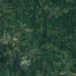
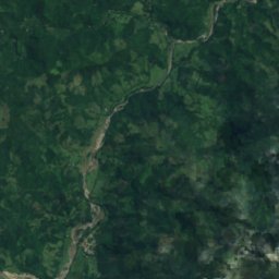
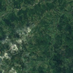
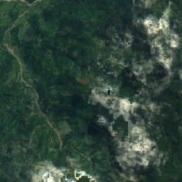
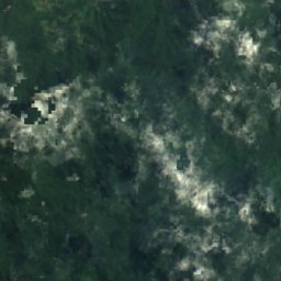
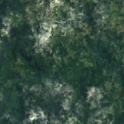
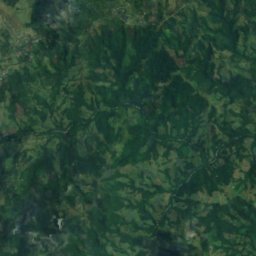
Satellite: Sentinel-2 cloudless 2016 by EOX IT Services GmbH · CC BY 4.0 · Contains modified Copernicus Sentinel data 2016
Selva de Florencia National Natural Park
Pensilvania, Caldas Department
10,020 km²
Beaches
Beaches of Colombia







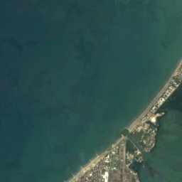
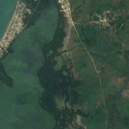


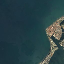
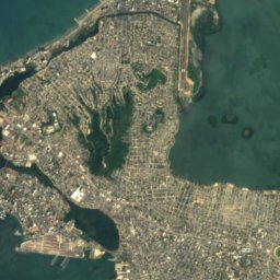
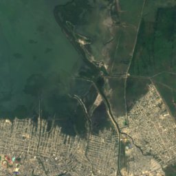
Satellite: Sentinel-2 cloudless 2016 by EOX IT Services GmbH · CC BY 4.0 · Contains modified Copernicus Sentinel data 2016
Balneario de Marbella
Cartagena, Bolívar
3 m


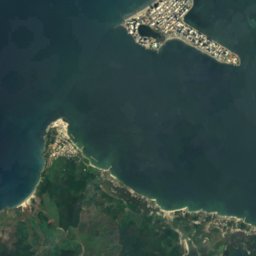
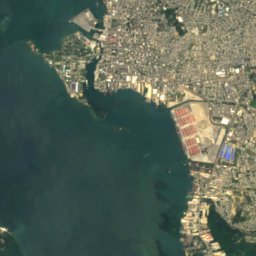


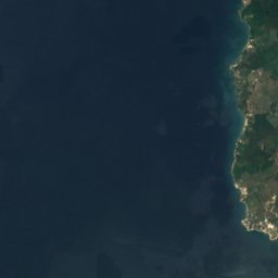
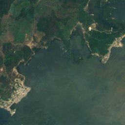
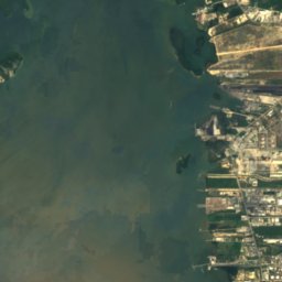


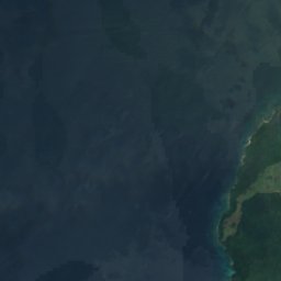
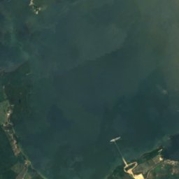
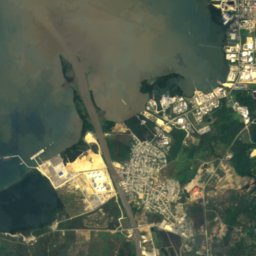
Satellite: Sentinel-2 cloudless 2016 by EOX IT Services GmbH · CC BY 4.0 · Contains modified Copernicus Sentinel data 2016
Playa Blanca, Bolívar
Cartagena, Bolívar
7 m





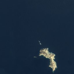
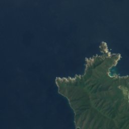
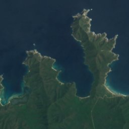
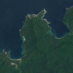
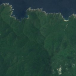
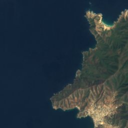
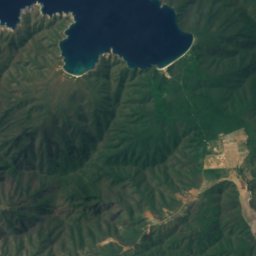
Satellite: Sentinel-2 cloudless 2016 by EOX IT Services GmbH · CC BY 4.0 · Contains modified Copernicus Sentinel data 2016
Playa Brava
Santa Marta, Magdalena Department
5 m
Satellite: Sentinel-2 cloudless 2016 by EOX IT Services GmbH · CC BY 4.0 · Contains modified Copernicus Sentinel data 2016
Playa Cristal
Santa Marta, Magdalena Department
71 m





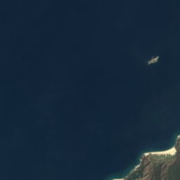
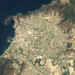
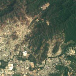


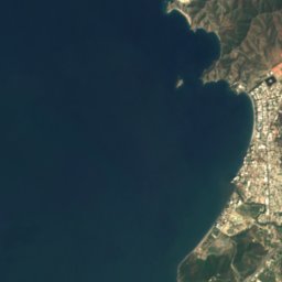
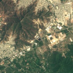
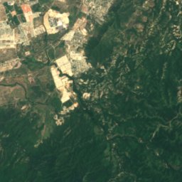
Satellite: Sentinel-2 cloudless 2016 by EOX IT Services GmbH · CC BY 4.0 · Contains modified Copernicus Sentinel data 2016
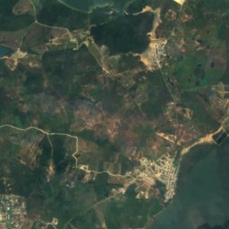
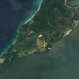
Playa Lipe
Santa Marta, Magdalena Department
6 m
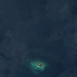


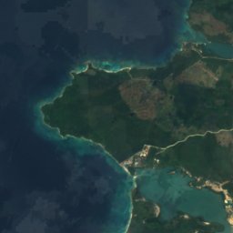


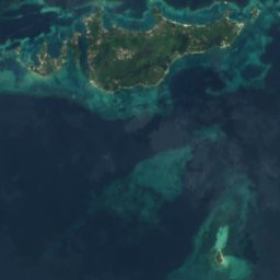
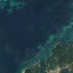
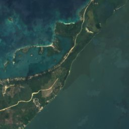

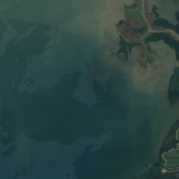
Satellite: Sentinel-2 cloudless 2016 by EOX IT Services GmbH · CC BY 4.0 · Contains modified Copernicus Sentinel data 2016
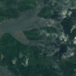
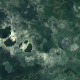
Playa Mohán
Cartagena, Bolívar
8 m
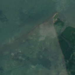
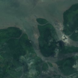
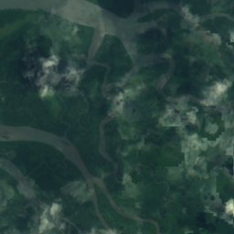
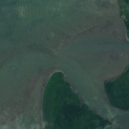
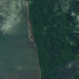
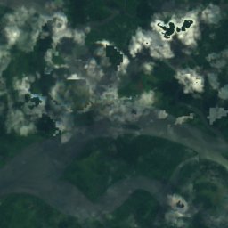
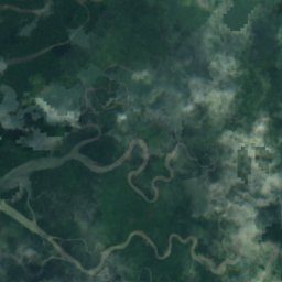
Satellite: Sentinel-2 cloudless 2016 by EOX IT Services GmbH · CC BY 4.0 · Contains modified Copernicus Sentinel data 2016
Playa Santa Ana
Buenaventura, Valle del Cauca Department
20 m
Satellite: Sentinel-2 cloudless 2016 by EOX IT Services GmbH · CC BY 4.0 · Contains modified Copernicus Sentinel data 2016
Playa Santo Cristo
Gaira, Magdalena Department
10 m
All 21 beaches
- Balneario de Marbella
- El Rodadero
- Playa Blanca, Bolívar
- Playa Brava
- Playa Cristal
- Playa de Juan Guy
- Playa de Las Canoas
- Playa de Los Holandeses
- Playa de Los Pescadores
- Playa de Pradomar
- Playa de Santa Verónica
- Playa del Centro
- Playa del Ferú
- Playa del Muerto
- Playa Lipe
- Playa Mohán
- Playa Santa Ana
- Playa Santo Cristo
- Playón de Cachimbero
- Playón de La Vagabunda
- Salinas de Galerazamba
Islands
Islands of Colombia


Photo: Cesar Ivan Noreña Vega · CC BY-SA 3.0 · Wikimedia CommonsReport this photo · linked, not stored
Isla Pelícano, Santa Marta
Santa Marta, Magdalena Department
60 m


Satellite: Sentinel-2 cloudless 2016 by EOX IT Services GmbH · CC BY 4.0 · Contains modified Copernicus Sentinel data 2016
Tierra Bomba Island
Cartagena, Bolívar
73 m
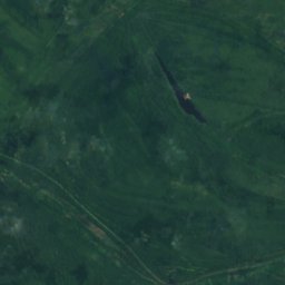
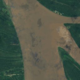
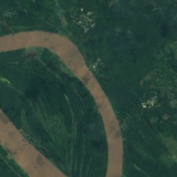
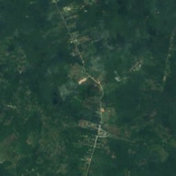
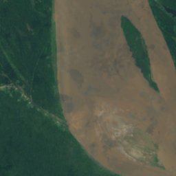
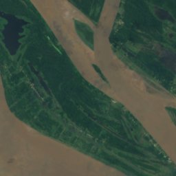
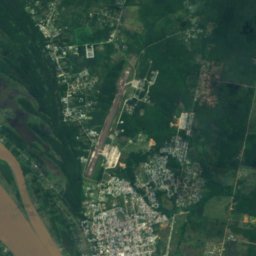
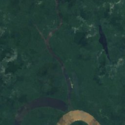
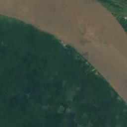
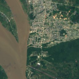
Satellite: Sentinel-2 cloudless 2016 by EOX IT Services GmbH · CC BY 4.0 · Contains modified Copernicus Sentinel data 2016
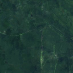
Chineria Island
Leticia, Amazonas Department





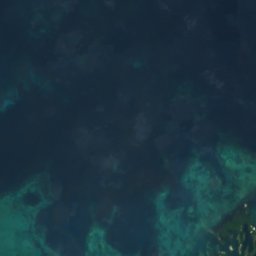
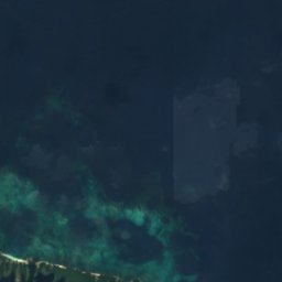


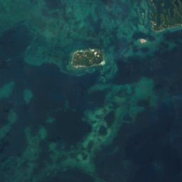
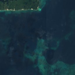
Satellite: Sentinel-2 cloudless 2016 by EOX IT Services GmbH · CC BY 4.0 · Contains modified Copernicus Sentinel data 2016
Múcura Island
Rincón del Mar, Sucre Department
5 m
All 102 islands
- Archipiélago de la Plata, Valle del Cauca Department
- Archipiélago de La Plata, Valle del Cauca Department
- Bajio Comisario
- Bajo Caribana
- Bajo del Medio, Sucre Department
- Bajo El Palmar
- Bajo Nuevo, Sucre Department
- Bajo Salamanquilla
- Bajo Tioquico
- Banco el Pajarito, Sucre Department
- Banco El Pajarito, Sucre Department
- Cabruna Island
- Ceycén Island
- Chineria Island
- Ilha Aramacá
- Isla 1928
- Isla Abanico
- Isla Arara, Amazonas Department
- Isla Arara, Amazonas Department
- Isla Barrancón
- Isla Boquerón Grande
- Isla Brujas
- Isla Cabezón
- Isla Cabica
- Isla Caimán
- Isla Carpintero
- Isla Cascajal
- Isla Cascajo
- Isla Cerro Chico
- Isla Chiva
- Isla Cocosolo
- Isla Corea
- Isla Corota
- Isla Cotoré
- Isla de Cangrejo
- Isla de Chaguaní
- Isla de Costa Brava
- Isla de Cuello
- Isla de La Aguja
- Isla de la Calavera
- Isla de La Fantasia
- Isla de Los Curripacos
- Isla de los Gómez
- Isla de Los Jejenes
- Isla de los Micos
- Isla de Malino
- Isla de Mora, Tolima Department
- Isla de Tíamaría
- Isla del Diablo
- Isla del Guaco
- Isla del Pleito
- Isla Diablo
- Isla El Coco
- Isla El Horno
- Isla El Limón
- Isla El Morro
- Isla Encanto
- Isla Gamarra
- Isla Grande, Magdalena Department
- Isla La Ceiba, Atlántico
- Isla La Custodia
- Isla La Sal
- Isla La Vaca, Guaviare Department
- Isla Maparadita
- Isla Maravilla
- Isla Margarita
- Isla Morocho
- Isla Pájaros
- Isla Palma
- Isla Pasto Pelado
- Isla Patico, Magdalena Department
- Isla Pelícano, Santa Marta
- Isla Platanales
- Isla Playa de Piedra
- Isla Puerto Arturo
- Isla Puerto Colombia
- Isla Quita Calzón
- Isla Ronda
- Isla Rondón
- Isla Rosa María
- Isla Salamanquilla
- Isla San Bernardo, Sucre Department
- Isla San José, Atlántico
- Isla San Pedro (Lake Tota)
- Isla Santa Ana
- Isla Santa Elena, Bolívar
- Isla Santa Helena (Lake Tota)
- Isla Santo Domingo (Lake Tota)
- Isla Soldado
- Isla Suárez
- Isla Tintipán
- Japón
- Mangle Island
- Margarita Island
- Morro Chico
- Morro de Gaira
- Múcura Island
- Palma Island
- Panda Island
- Santa Cruz del Islote
- Santa Rosa Island
- Tierra Bomba Island
Rivers
Rivers of Colombia


Photo: Felipe Restrepo Acosta · CC BY-SA 3.0 · Wikimedia CommonsReport this photo · linked, not stored

Fucha River
Fontibón, Bogota D.C.
Photo: Carlos Andrés Martínez Santos · CC BY-SA 4.0 · Wikimedia CommonsReport this photo · linked, not stored
Sumapaz River
Usme, Bogota D.C.