
Photo: Jason Quinn · CC BY-SA 3.0 · Wikimedia Commons
Apoquindo WaterfallReport this photo · linked, not stored
Apoquindo WaterfallReport this photo · linked, not stored

Photo: Andy kt · Public domain · Wikimedia Commons
Estero Yerba LocaReport this photo · linked, not stored
Estero Yerba LocaEstero Yerba LocaReport this photo · linked, not stored

Photo: Penarc · CC BY-SA 3.0 · Wikimedia Commons
Colorado River (Aconcagua)Report this photo · linked, not stored
Colorado River (Aconcagua)Colorado River (Aconcagua)Report this photo · linked, not stored

Photo: Jason Quinn at English Wikipedia · CC BY-SA 3.0 · Wikimedia Commons
Cerro ProvinciaReport this photo · linked, not stored
Cerro ProvinciaCerro ProvinciaReport this photo · linked, not stored

Photo: Carlos Figueroa Rojas · CC BY-SA 4.0 · Wikimedia Commons
Cerro AlvaradoReport this photo · linked, not stored
Cerro AlvaradoCerro AlvaradoReport this photo · linked, not stored
WaterfallPeñalolén, Santiago Metropolitan
Apoquindo Waterfall
WaterfallBest Apr · Oct–Nov
Elevation–above sea level
Height–of the falls
Nearest townPeñalolén7.5 km
33.44° S, 70.46° WUTC−3 · Chile Summer Time
When to goPeñalolén · weather score
Best timeApr · Oct–Nov
October: high / low21° / 9°
Waterfall
Apoquindo Waterfall in brief
Apoquindo Waterfall is a waterfall in Peñalolén, Santiago Metropolitan, Chile.
The nearest town in the atlas is Peñalolén, 7.5 km to the SW, where the weather is best in April, October and November.
Weather nearby now
Forecast for Peñalolén17°
Showers now
Today
22 Oct
17°
10°
14 mm
Fri
23 Oct
15°
9°
10 mm
Sat
24 Oct
15°
8°
13 mm
Sun
25 Oct
24°
7°
Mon
26 Oct
18°
16°
3 mm
Model run 00:00 UTCRefreshed several times a day
Map
Apoquindo Waterfall from above
Nature nearbyAll of Chile
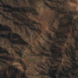
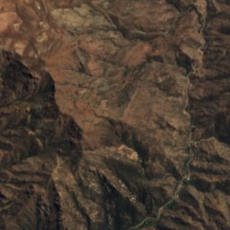
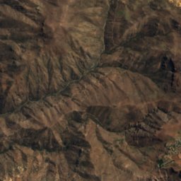
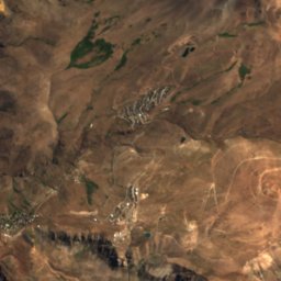
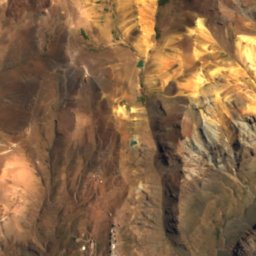
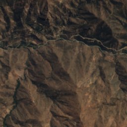
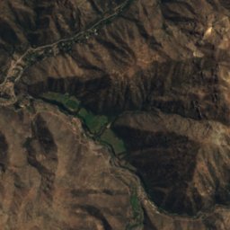
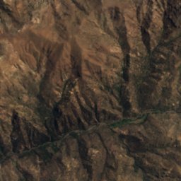
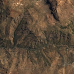
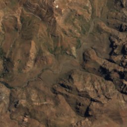
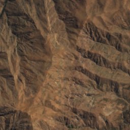
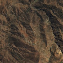
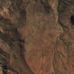
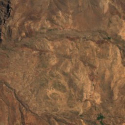
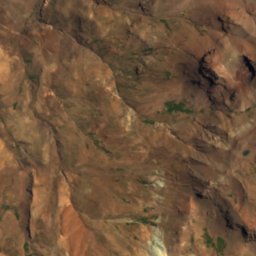
Satellite: Sentinel-2 cloudless 2016 by EOX IT Services GmbH · CC BY 4.0 · Contains modified Copernicus Sentinel data 2016
Satellite: Sentinel-2 cloudless 2016 by EOX IT Services GmbH · CC BY 4.0 · Contains modified Copernicus Sentinel data 2016

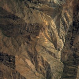
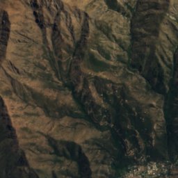
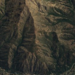
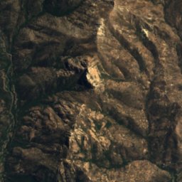
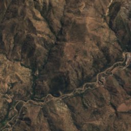
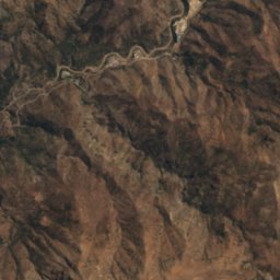
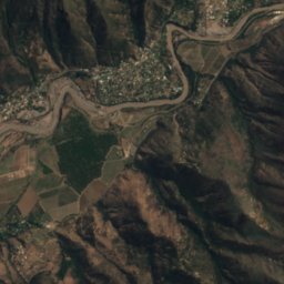
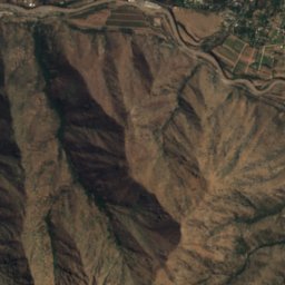
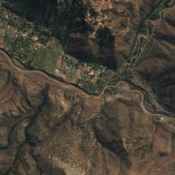
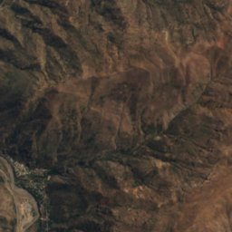
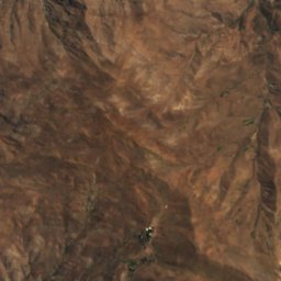
Satellite: Sentinel-2 cloudless 2016 by EOX IT Services GmbH · CC BY 4.0 · Contains modified Copernicus Sentinel data 2016

Summits nearbyMountains of Chile

Photo: Jason Quinn at English Wikipedia · CC BY-SA 3.0 · Wikimedia CommonsReport this photo · linked, not stored

Photo: Carlos Figueroa Rojas · CC BY-SA 4.0 · Wikimedia CommonsReport this photo · linked, not stored


Photo: Carlos Figueroa Rojas · CC BY-SA 4.0 · Wikimedia CommonsReport this photo · linked, not stored
Stay nearby
Towns close by


Around here
Peñalolén and around
Nature
Satellite: Sentinel-2 cloudless 2016 by EOX IT Services GmbH · CC BY 4.0 · Contains modified Copernicus Sentinel data 2016
Molina River
River
Mountains

Photo: Jason Quinn at English Wikipedia · CC BY-SA 3.0 · Wikimedia CommonsReport this photo · linked, not stored
Cerro Provincia
2,750 m · Sierra de Ramón

Heritage


Satellite: Sentinel-2 cloudless 2016 by EOX IT Services GmbH · CC BY 4.0 · Contains modified Copernicus Sentinel data 2016
Palacio de La Moneda
Tentative World Heritage Site · 1784
Museums
Satellite: Sentinel-2 cloudless 2016 by EOX IT Services GmbH · CC BY 4.0 · Contains modified Copernicus Sentinel data 2016
Parque por la Paz Villa Grimaldi
History museum

Satellite: Sentinel-2 cloudless 2016 by EOX IT Services GmbH · CC BY 4.0 · Contains modified Copernicus Sentinel data 2016
Museo Herencia Campesina
2000


Satellite: Sentinel-2 cloudless 2016 by EOX IT Services GmbH · CC BY 4.0 · Contains modified Copernicus Sentinel data 2016
Museo del libro José Santos González Vera
Archaeological museum