
Photo: Carlos Figueroa Rojas · CC BY-SA 4.0 · Wikimedia Commons
Cerro La BallenaReport this photo · linked, not stored
Cerro La BallenaReport this photo · linked, not stored

Photo: Jason Quinn at English Wikipedia · CC BY-SA 3.0 · Wikimedia Commons
Cerro ProvinciaReport this photo · linked, not stored
Cerro ProvinciaCerro ProvinciaReport this photo · linked, not stored

Photo: Carlos yo · CC BY-SA 4.0 · Wikimedia Commons
Cerro San CristóbalReport this photo · linked, not stored
Cerro San CristóbalCerro San CristóbalReport this photo · linked, not stored
Santiago Metropolitan · ChileSummit weather, forecast and climate
Cerro La Ballena
877 m
Elevation877 mabove sea level
Prominence–independent height
Isolation22 kmto a higher summit
Summit, Jul14°average high
33.61° S, 70.55° WElevation 877 mUTC−3 · Chile Summer Time
From the valley to the top
- Summit877 m
- Mid-mountain440 m
- Valley0 m
Freezing level in October: above the summit
iThe mountain
Cerro La Ballena in brief
Cerro La Ballena rises to 877 m, Santiago Metropolitan, Chile.
At the summit, January is the mildest month with average highs of 28°, while nights rarely fall below freezing.
The nearest town in the atlas is Puente Alto, 2.8 km to the W at 700 m.
Facts
- Elevation
- 877 m · 2,877 ft
- Region
- Santiago Metropolitan
- Country
- Chile
- Coordinates
- -33.6057, -70.5462
- Nearest airport
- Comodoro Arturo Merino Benítez International Airport (SCL) · 33 km
iiForecast
Weather at three heights
Temperatures are adjusted to each height; summits are usually colder and windier than the valley forecast suggests.
Loading the latest forecast…
Loading the latest forecast…
Loading the latest forecast…
iiiSummit climate
The top of Cerro La Ballena by month
Summit temperatures and precipitation
Climate normals for the summit area (~1 km grid), station-adjusted| Month | Jan | Feb | Mar | Apr | May | Jun | Jul | Aug | Sep | Oct | Nov | Dec |
|---|---|---|---|---|---|---|---|---|---|---|---|---|
| Average high | 28° | 28° | 26° | 23° | 18° | 15° | 14° | 15° | 17° | 21° | 24° | 27° |
| Average low | 16° | 16° | 14° | 10° | 6° | 4° | 2° | 3° | 5° | 8° | 11° | 14° |
| Precipitation | 3 mm | 4 mm | 11 mm | 35 mm | 112 mm | 153 mm | 156 mm | 115 mm | 52 mm | 22 mm | 12 mm | 6 mm |
| Cloud cover | 6% | 7% | 10% | 19% | 35% | 39% | 36% | 33% | 33% | 29% | 16% | 9% |
| Daylight | 14h 08 | 13h 17 | 12h 19 | 11h 16 | 10h 24 | 9h 56 | 10h 07 | 10h 52 | 11h 52 | 12h 54 | 13h 51 | 14h 22 |
| Month score | 86 | 88 | 92 | 90 | 67 | 46 | 41 | 52 | 81 | 94 | 97 | 91 |
Snow and freezing level
Average height of the 0 °C level from the summit normals (6.5 °C per km); snow months have a summit mean at or below +1 °C| Month | Jan | Feb | Mar | Apr | May | Jun | Jul | Aug | Sep | Oct | Nov | Dec |
|---|---|---|---|---|---|---|---|---|---|---|---|---|
| Freezing level | 4,250 m | 4,200 m | 3,950 m | 3,400 m | 2,750 m | 2,300 m | 2,100 m | 2,300 m | 2,600 m | 3,050 m | 3,550 m | 4,000 m |
| Summit | above 0 °C | above 0 °C | above 0 °C | above 0 °C | above 0 °C | above 0 °C | above 0 °C | above 0 °C | above 0 °C | above 0 °C | above 0 °C | above 0 °C |
ivTerrain
Cerro La Ballena in 3D
vNeighbours
Mountains of ChilePeaks nearby
| Mountain | Elevation | Prominence | Distance | July summit high |
|---|---|---|---|---|
| Cerro Provincia | 2,750 m | – | 22 km NE | 2° |
| Cerro San Cristóbal | 880 m | – | 22 km N | 15° |
viBase towns
Where to stay nearby


Photo: Stephen Chip from Boca Raton, Florida, United States · CC BY 2.0 · Wikimedia CommonsReport this photo · linked, not stored
Pirque
Santiago Metropolitan · 4.3 km SW
21°Oct high
2wet days
94score

Around here
Puente Alto and around

Puente Alto
Santiago Metropolitan · Chile
Apr · Oct–Novbest months
14°July high
700 maltitude
Nature
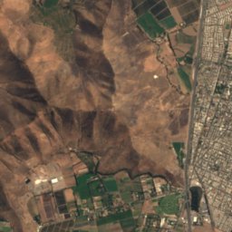
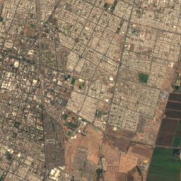
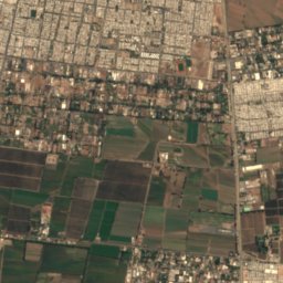
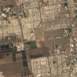
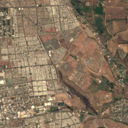
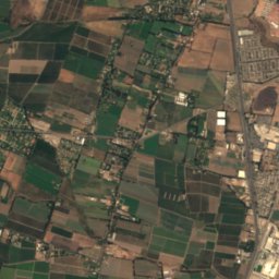
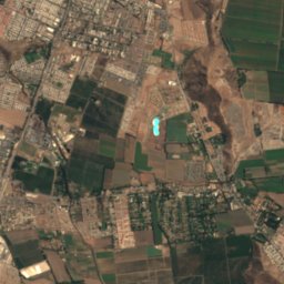
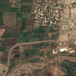
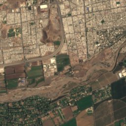
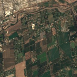
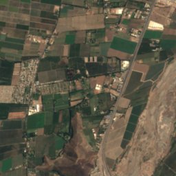
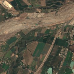
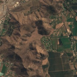
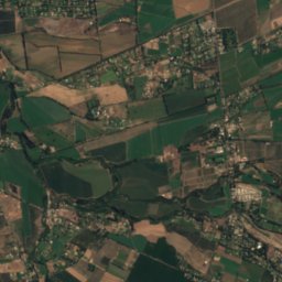
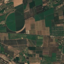
Satellite: Sentinel-2 cloudless 2016 by EOX IT Services GmbH · CC BY 4.0 · Contains modified Copernicus Sentinel data 2016
Rio Clarillo
River


Mountains
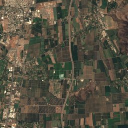
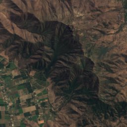
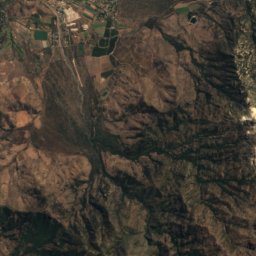
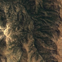
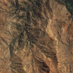
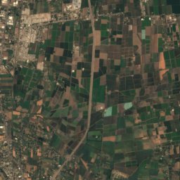
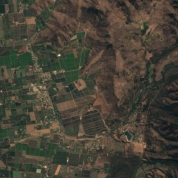
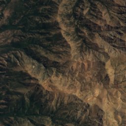
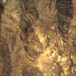
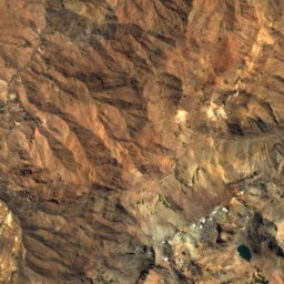
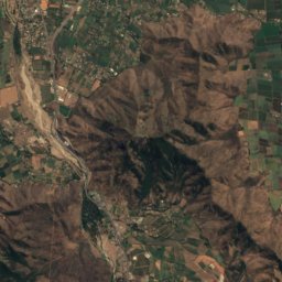
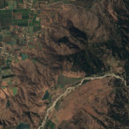
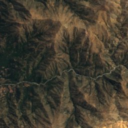
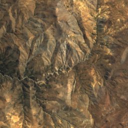
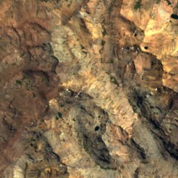
Satellite: Sentinel-2 cloudless 2016 by EOX IT Services GmbH · CC BY 4.0 · Contains modified Copernicus Sentinel data 2016
Cerro San Francisco
4,940 m
Photo: Jason Quinn at English Wikipedia · CC BY-SA 3.0 · Wikimedia CommonsReport this photo · linked, not stored
Cerro Provincia
2,750 m · Sierra de Ramón

Heritage

Photo: Anna-Kim Pagé Cornforth · CC BY-SA 3.0 · Wikimedia CommonsReport this photo · linked, not stored
Bodega de la viña San Carlos
Historical Monument of Chile

Photo: Carlos Figueroa Rojas · CC BY-SA 4.0 · Wikimedia CommonsReport this photo · linked, not stored
Nido 20
Historical Monument of Chile · 2005

Museums
Satellite: Sentinel-2 cloudless 2016 by EOX IT Services GmbH · CC BY 4.0 · Contains modified Copernicus Sentinel data 2016
Museo de Pirque
History museum


