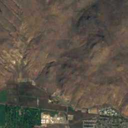
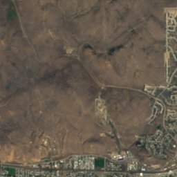
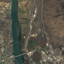
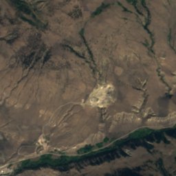
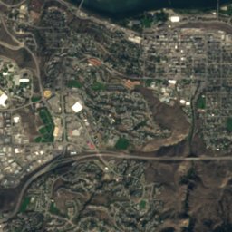
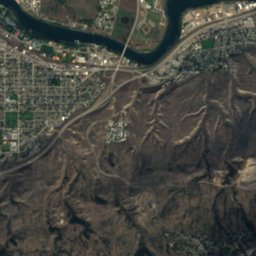
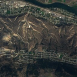
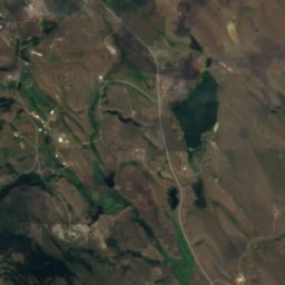
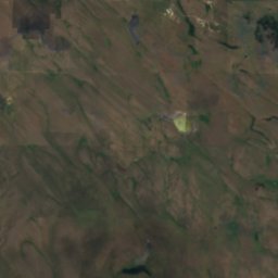
Satellite: Sentinel-2 cloudless 2016 by EOX IT Services GmbH · CC BY 4.0 · Contains modified Copernicus Sentinel data 2016
LakeKamloops, British Columbia
Python Lake
LakeBest Jun · Aug–Sep
Elevation–above sea level
Area–surface
Nearest townKamloops5.7 km
50.65° N, 120.40° WUTC−7 · Pacific Daylight Time
When to goKamloops · weather score
Best timeJun · Aug–Sep
October: high / low13° / 3°
Lake
Python Lake in brief
Python Lake is a lake in Kamloops, British Columbia, Canada.
The nearest town is Kamloops, 5.7 km to the E, where the weather is best in June, August and September.
Weather nearby now
Forecast for Kamloops7°
Sunny now
Today
23 Oct
11°
2°
Sat
24 Oct
9°
3°
2 mm
Sun
25 Oct
9°
3°
9 mm
Mon
26 Oct
11°
2°
Tue
27 Oct
12°
2°
Model run 12:00 UTCRefreshed several times a day
Map
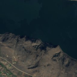
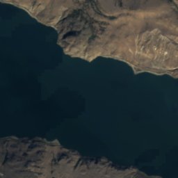
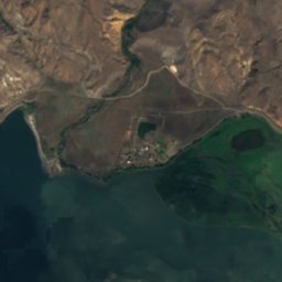
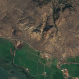
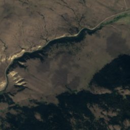
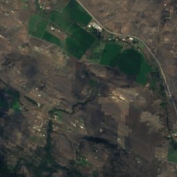
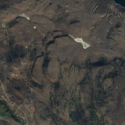
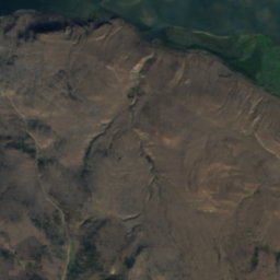
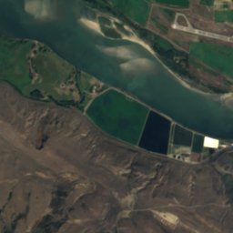
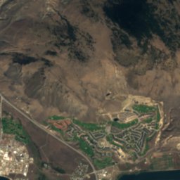
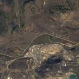
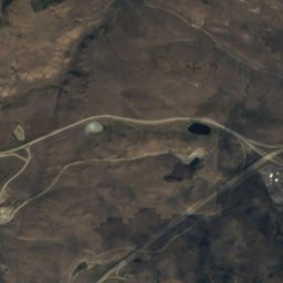
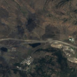
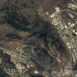
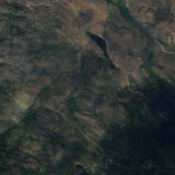
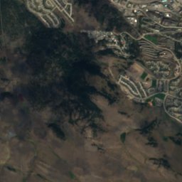
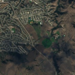
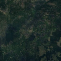
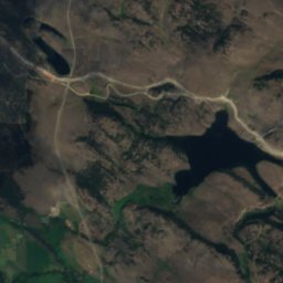
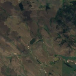
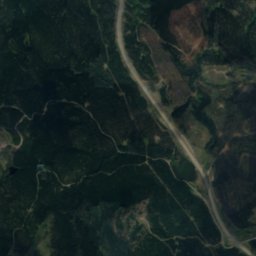
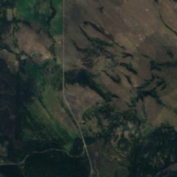
Python Lake from above
Nature nearbyAll of Canada
Satellite: Sentinel-2 cloudless 2016 by EOX IT Services GmbH · CC BY 4.0 · Contains modified Copernicus Sentinel data 2016
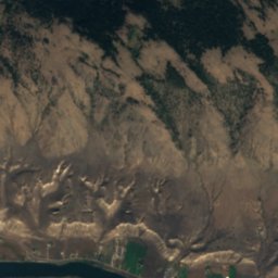
Satellite: Sentinel-2 cloudless 2016 by EOX IT Services GmbH · CC BY 4.0 · Contains modified Copernicus Sentinel data 2016
Satellite: Sentinel-2 cloudless 2016 by EOX IT Services GmbH · CC BY 4.0 · Contains modified Copernicus Sentinel data 2016
Satellite: Sentinel-2 cloudless 2016 by EOX IT Services GmbH · CC BY 4.0 · Contains modified Copernicus Sentinel data 2016
Satellite: Sentinel-2 cloudless 2016 by EOX IT Services GmbH · CC BY 4.0 · Contains modified Copernicus Sentinel data 2016
Satellite: Sentinel-2 cloudless 2016 by EOX IT Services GmbH · CC BY 4.0 · Contains modified Copernicus Sentinel data 2016
Summits nearbyMountains of Canada
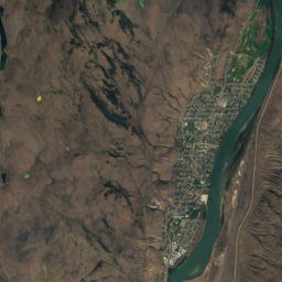
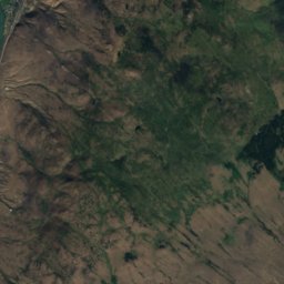
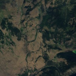
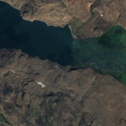
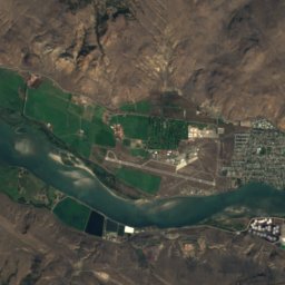
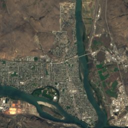
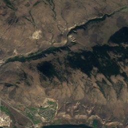
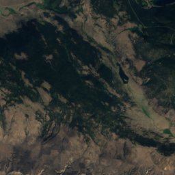
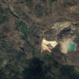
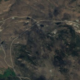
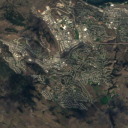
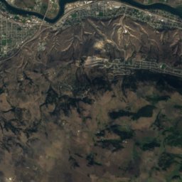
Stay nearby
Towns close by

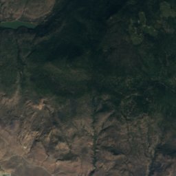
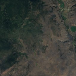
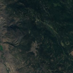
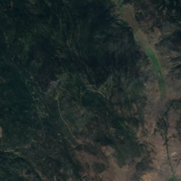
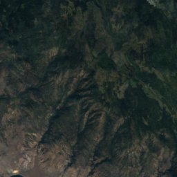
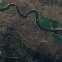
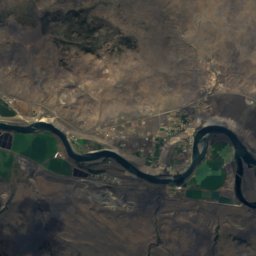
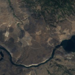
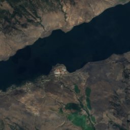
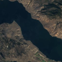
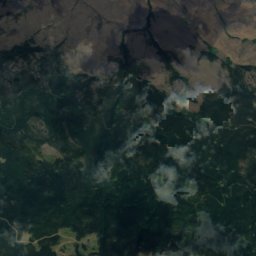
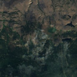
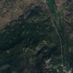
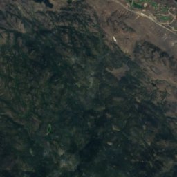
Satellite: Sentinel-2 cloudless 2016 by EOX IT Services GmbH · CC BY 4.0 · Contains modified Copernicus Sentinel data 2016
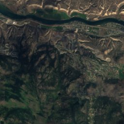
Savona
British Columbia · 34 km W
13°Oct high
14wet days
39score
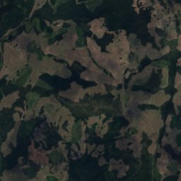
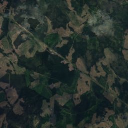
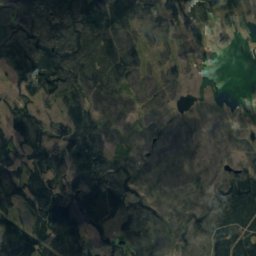
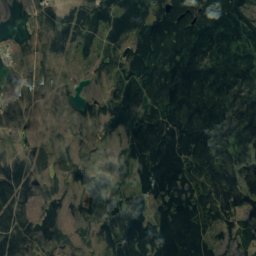
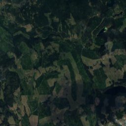
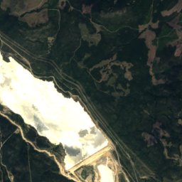
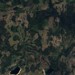
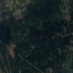
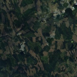
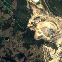
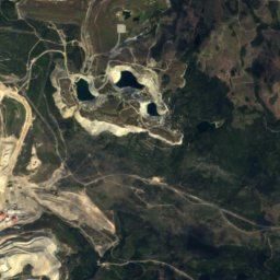
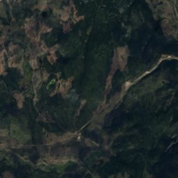
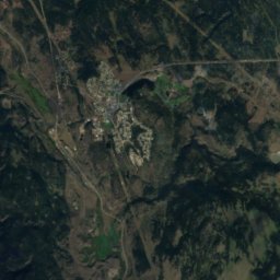
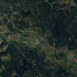
Satellite: Sentinel-2 cloudless 2016 by EOX IT Services GmbH · CC BY 4.0 · Contains modified Copernicus Sentinel data 2016
Logan Lake
British Columbia · 34 km SW
10°Oct high
12wet days
26score
Around here
Kamloops and around
Nature

Photo: Photograph by David Wise (https://www.flickr.com/people/syldavia/) · CC BY-SA 2.0 · Wikimedia CommonsReport this photo · linked, not stored
North Thompson River
River · 339 m
Satellite: Sentinel-2 cloudless 2016 by EOX IT Services GmbH · CC BY 4.0 · Contains modified Copernicus Sentinel data 2016
Jacko Lake
Lake · 891 m
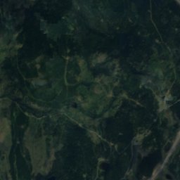
Satellite: Sentinel-2 cloudless 2016 by EOX IT Services GmbH · CC BY 4.0 · Contains modified Copernicus Sentinel data 2016
Edith Lake, Kamloops
Lake · 1,022 m
Mountains

Photo: Green slash at English Wikipedia · CC BY-SA 3.0 · Wikimedia CommonsReport this photo · linked, not stored
Mount Tod
2,155 m · Columbia Mountains
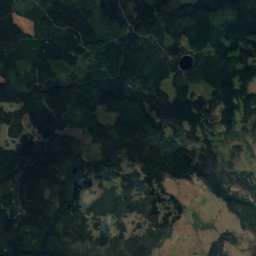
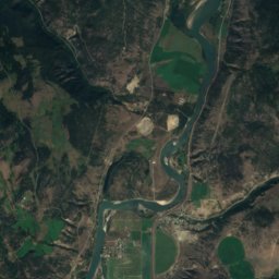
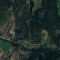
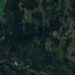
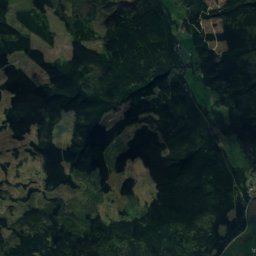
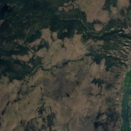
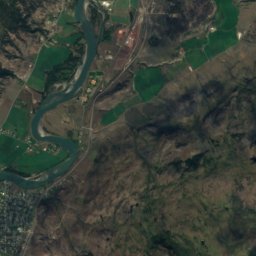
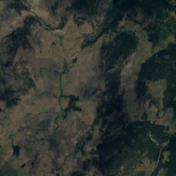
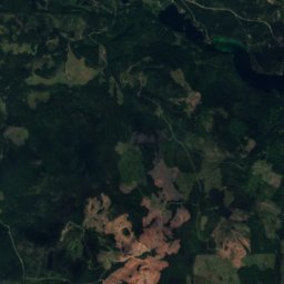
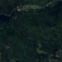
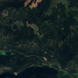
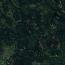
Satellite: Sentinel-2 cloudless 2016 by EOX IT Services GmbH · CC BY 4.0 · Contains modified Copernicus Sentinel data 2016
Mount Lolo
1,748 m


