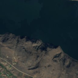
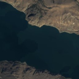
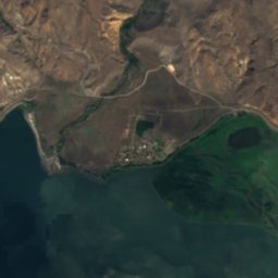
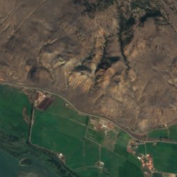
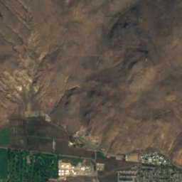
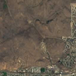
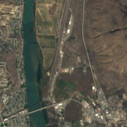
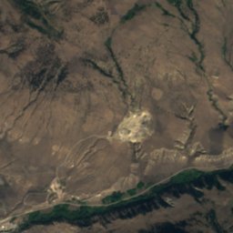
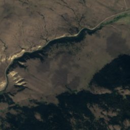
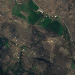
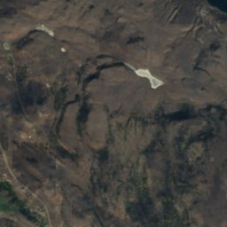
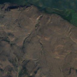
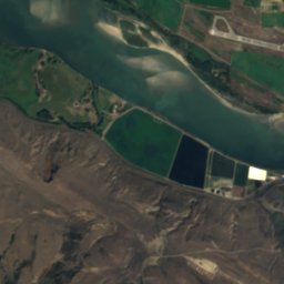
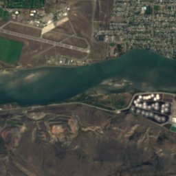
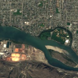
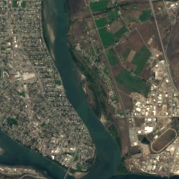
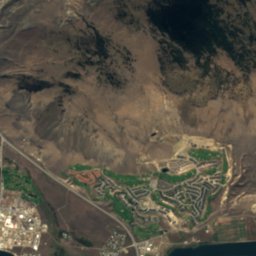
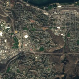
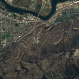
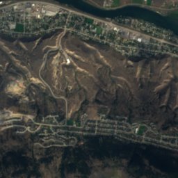
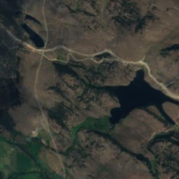
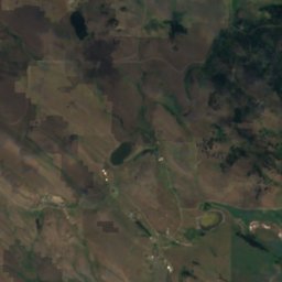
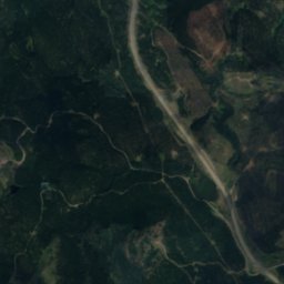
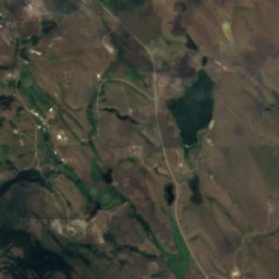
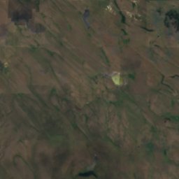
Satellit: Sentinel-2 cloudless 2016 by EOX IT Services GmbH · CC BY 4.0 · Contains modified Copernicus Sentinel data 2016
SeeKamloops, British Columbia
Python Lake
SeeAm besten Juni · Aug.–Sep.
Höhe–über dem Meer
Fläche–Gesamtfläche
Nächster OrtKamloops5,7 km
50,65° N, 120,40° WUTC−7 · Nordamerikanische Westküsten-Sommerzeit
ReisezeitKamloops · Wetterwertung
Beste ZeitJuni · Aug.–Sep.
Oktober: Max. / Min.13° / 3°
See
Python Lake in Kürze
Python Lake ist ein See in Kamloops, British Columbia, Kanada.
Der nächste Ort ist Kamloops, 5,7 km östlich; dort ist das Wetter im Juni, August und September am besten.
Wetter in der Nähe
Vorhersage für Kamloops10°
Klar – jetzt
Heute
23. Okt.
11°
2°
Sa
24. Okt.
7°
2°
3 mm
So
25. Okt.
7°
3°
10 mm
Mo
26. Okt.
12°
4°
2 mm
Di
27. Okt.
10°
5°
2 mm
Modelllauf 12:00 UTCMehrmals täglich aktualisiert
Karte
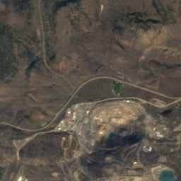
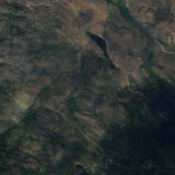
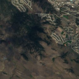
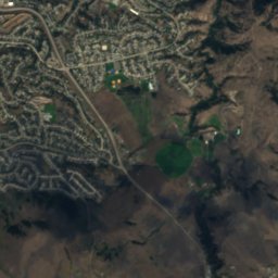
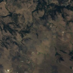
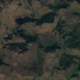
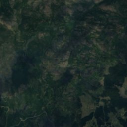
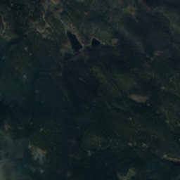
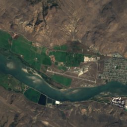
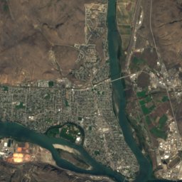
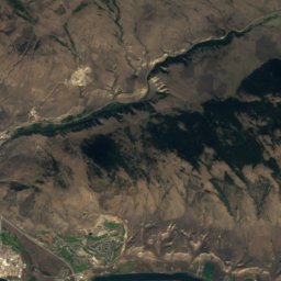
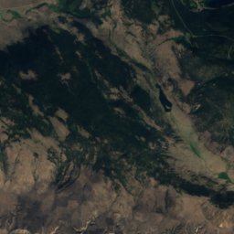
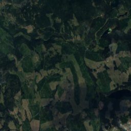
Python Lake von oben
Natur in der NäheAlles in Kanada
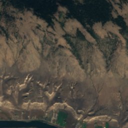
Satellit: Sentinel-2 cloudless 2016 by EOX IT Services GmbH · CC BY 4.0 · Contains modified Copernicus Sentinel data 2016
Satellit: Sentinel-2 cloudless 2016 by EOX IT Services GmbH · CC BY 4.0 · Contains modified Copernicus Sentinel data 2016
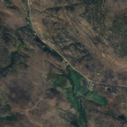
Satellit: Sentinel-2 cloudless 2016 by EOX IT Services GmbH · CC BY 4.0 · Contains modified Copernicus Sentinel data 2016
Satellit: Sentinel-2 cloudless 2016 by EOX IT Services GmbH · CC BY 4.0 · Contains modified Copernicus Sentinel data 2016
Satellit: Sentinel-2 cloudless 2016 by EOX IT Services GmbH · CC BY 4.0 · Contains modified Copernicus Sentinel data 2016
Satellit: Sentinel-2 cloudless 2016 by EOX IT Services GmbH · CC BY 4.0 · Contains modified Copernicus Sentinel data 2016
Gipfel in der NäheBerge in Kanada
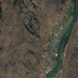
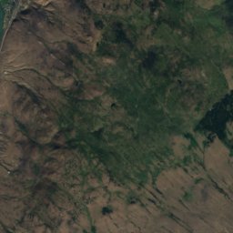
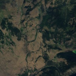
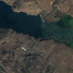
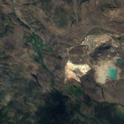
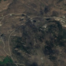
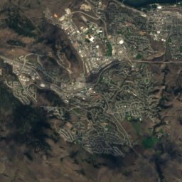
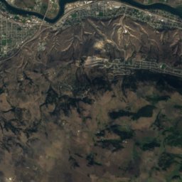
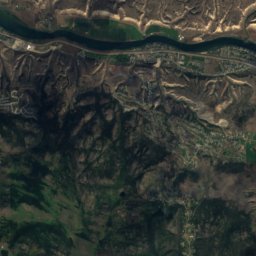
Übernachten
Orte ganz in der Nähe

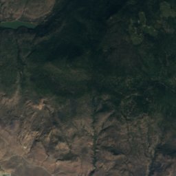
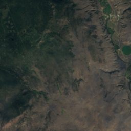
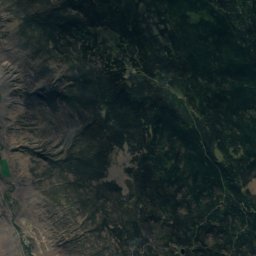
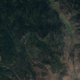
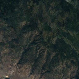
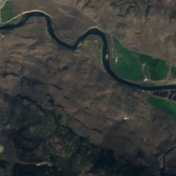
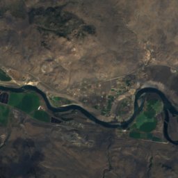
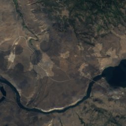
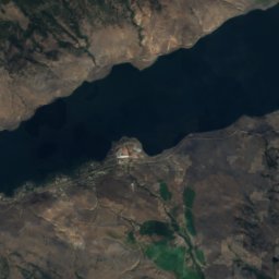
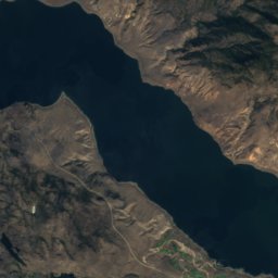
Satellit: Sentinel-2 cloudless 2016 by EOX IT Services GmbH · CC BY 4.0 · Contains modified Copernicus Sentinel data 2016
Savona
British Columbia · 34 km W
13°max. Okt.
14Regentage
39Score
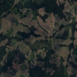
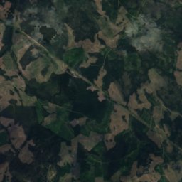
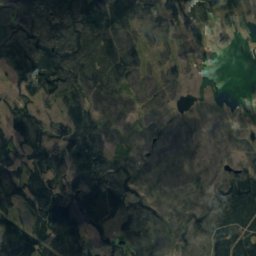
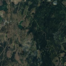
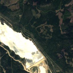
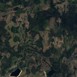
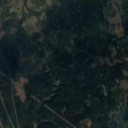
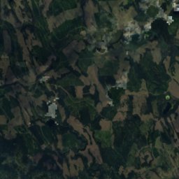
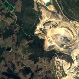
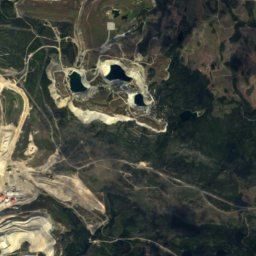
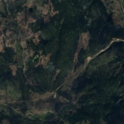
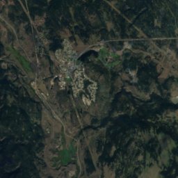
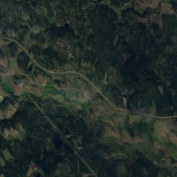
Satellit: Sentinel-2 cloudless 2016 by EOX IT Services GmbH · CC BY 4.0 · Contains modified Copernicus Sentinel data 2016
Logan Lake
British Columbia · 34 km SW
10°max. Okt.
12Regentage
26Score
In der Umgebung
Kamloops und Umgebung
Natur

Foto: Photograph by David Wise (https://www.flickr.com/people/syldavia/) · CC BY-SA 2.0 · Wikimedia CommonsFoto melden · verlinkt, nicht gespeichert
North Thompson River
Fluss · 339 m
Satellit: Sentinel-2 cloudless 2016 by EOX IT Services GmbH · CC BY 4.0 · Contains modified Copernicus Sentinel data 2016
Jacko Lake
See · 891 m
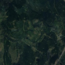
Satellit: Sentinel-2 cloudless 2016 by EOX IT Services GmbH · CC BY 4.0 · Contains modified Copernicus Sentinel data 2016
Edith Lake, Kamloops
See · 1.022 m
Berge

Foto: Green slash at English Wikipedia · CC BY-SA 3.0 · Wikimedia CommonsFoto melden · verlinkt, nicht gespeichert
Mount Tod
2.155 m · Columbia Mountains
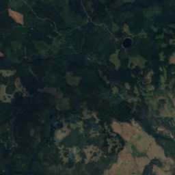
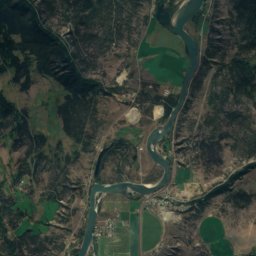
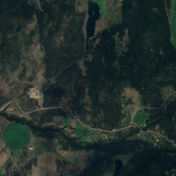
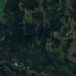
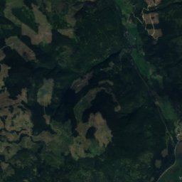
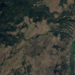
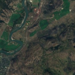
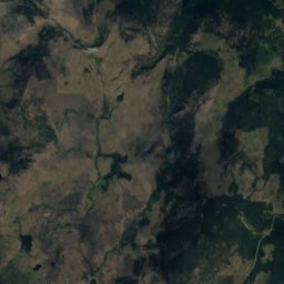
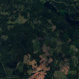
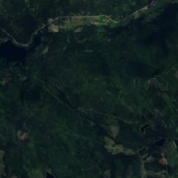
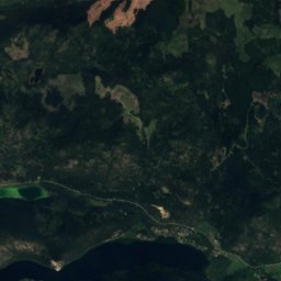
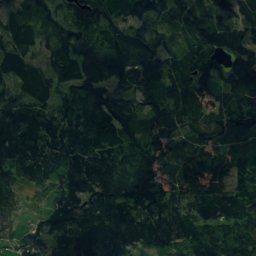
Satellit: Sentinel-2 cloudless 2016 by EOX IT Services GmbH · CC BY 4.0 · Contains modified Copernicus Sentinel data 2016
Mount Lolo
1.748 m


