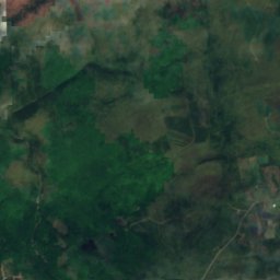
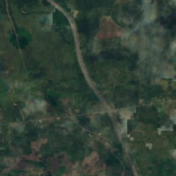
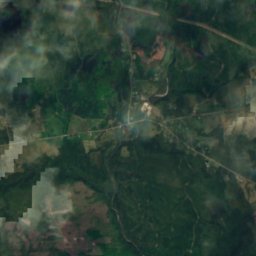
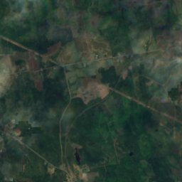
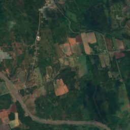
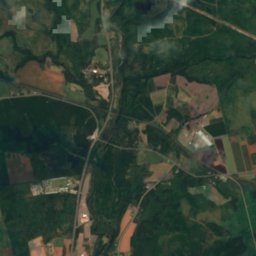
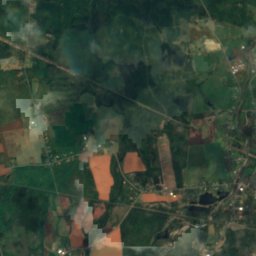
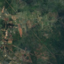
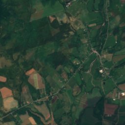
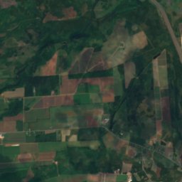
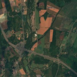
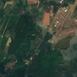
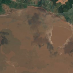
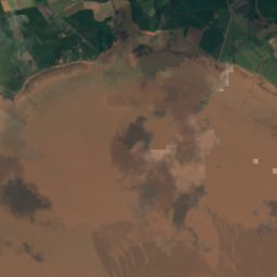
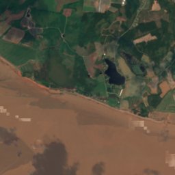
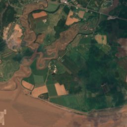
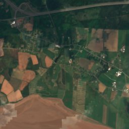
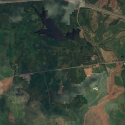
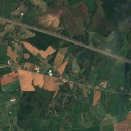
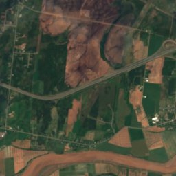
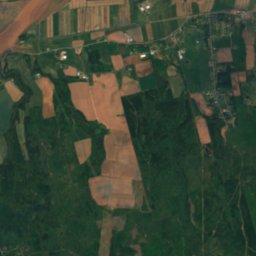
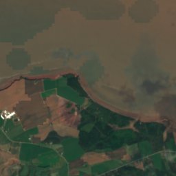
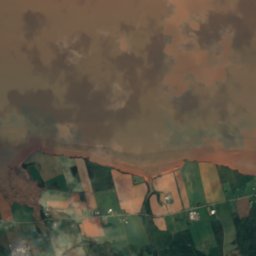
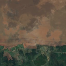
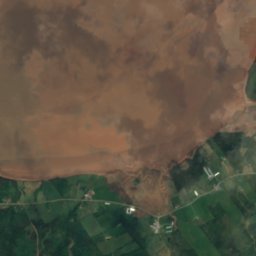
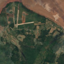
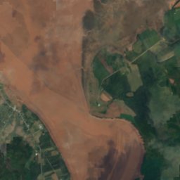
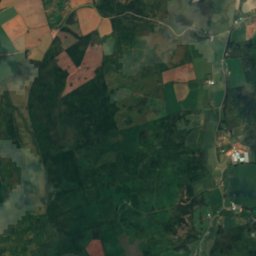
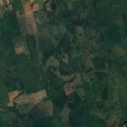
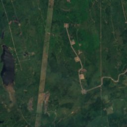
Satellite: Sentinel-2 cloudless 2016 by EOX IT Services GmbH · CC BY 4.0 · Contains modified Copernicus Sentinel data 2016

Photo: Verne Equinox · CC BY 3.0 · Wikimedia Commons
Shubenacadie RiverReport this photo · linked, not stored
Shubenacadie RiverShubenacadie RiverReport this photo · linked, not stored

Photo: Verne Equinox · CC BY-SA 3.0 · Wikimedia Commons
Salmon River, Nova ScotiaReport this photo · linked, not stored
Salmon River, Nova ScotiaSalmon River, Nova ScotiaReport this photo · linked, not stored
BeachDebert, Nova Scotia
Lower Debert Beach
BeachBest Jun · Aug–Sep
Elevation–above sea level
Area–surface
Nearest townDebert8.0 km
45.37° N, 63.51° WUTC−3 · Atlantic Daylight Time
When to goDebert · weather score
Best timeJun · Aug–Sep
October: high / low14° / 3°
Beach
Lower Debert Beach in brief
Lower Debert Beach is a beach in Debert, Nova Scotia, Canada.
The nearest town in the atlas is Debert, 8.0 km to the NE, where the weather is best in June, August and September.
Weather nearby now
Forecast for Debert8°
Rain now
Today
22 Oct
11°
2°
2 mm
Fri
23 Oct
8°
1°
5 mm
Sat
24 Oct
10°
0°
Sun
25 Oct
16°
-1°
Mon
26 Oct
15°
2°
Model run 00:00 UTCRefreshed several times a day
When to go
Climate of DebertThe best months around Lower Debert Beach
Month score in Debert
Comfort, dry days and sunshine · out of 10023
Jan
26
Feb
22
Mar
24
Apr
55
May
61
Jun
61
Jul
64
Aug
66
Sep
42
Oct
17
Nov
16
Dec
Map
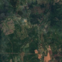
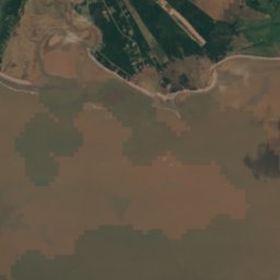
Lower Debert Beach from above
Nature nearbyAll of Canada
Satellite: Sentinel-2 cloudless 2016 by EOX IT Services GmbH · CC BY 4.0 · Contains modified Copernicus Sentinel data 2016
Satellite: Sentinel-2 cloudless 2016 by EOX IT Services GmbH · CC BY 4.0 · Contains modified Copernicus Sentinel data 2016

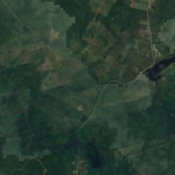
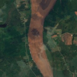
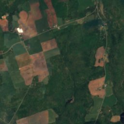
Satellite: Sentinel-2 cloudless 2016 by EOX IT Services GmbH · CC BY 4.0 · Contains modified Copernicus Sentinel data 2016

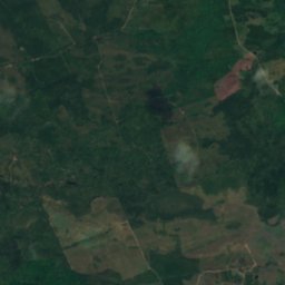
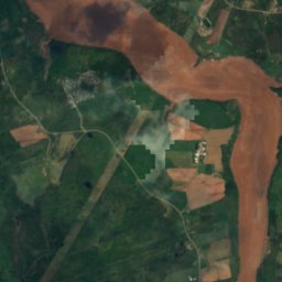
Satellite: Sentinel-2 cloudless 2016 by EOX IT Services GmbH · CC BY 4.0 · Contains modified Copernicus Sentinel data 2016
Summits nearbyMountains of Canada
Satellite: Sentinel-2 cloudless 2016 by EOX IT Services GmbH · CC BY 4.0 · Contains modified Copernicus Sentinel data 2016
Stay nearby
Towns close by
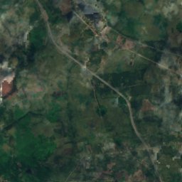
Satellite: Sentinel-2 cloudless 2016 by EOX IT Services GmbH · CC BY 4.0 · Contains modified Copernicus Sentinel data 2016
Debert
Nova Scotia · 8.0 km NE
14°Oct high
14wet days
42score


Around here
Debert and around
Nature
Satellite: Sentinel-2 cloudless 2016 by EOX IT Services GmbH · CC BY 4.0 · Contains modified Copernicus Sentinel data 2016
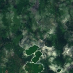
Slack Lake, Nova Scotia
Lake · 224 m
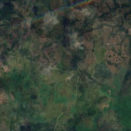
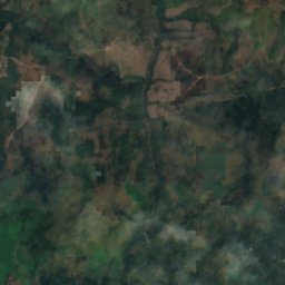
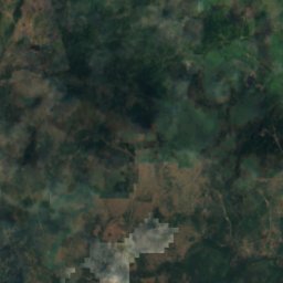
Satellite: Sentinel-2 cloudless 2016 by EOX IT Services GmbH · CC BY 4.0 · Contains modified Copernicus Sentinel data 2016
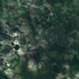
Frog Lake (Colchester)
Lake · 248 m
Mountains

Satellite: Sentinel-2 cloudless 2016 by EOX IT Services GmbH · CC BY 4.0 · Contains modified Copernicus Sentinel data 2016
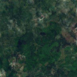
Stevens Mountain
316 m
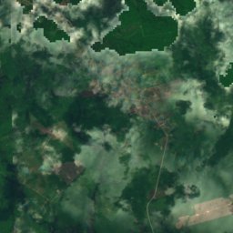
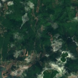
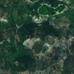
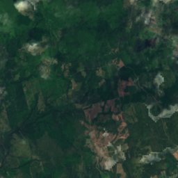
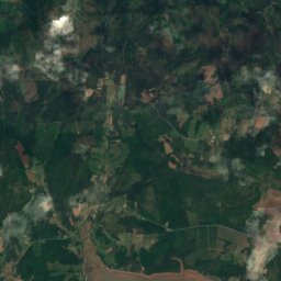
Satellite: Sentinel-2 cloudless 2016 by EOX IT Services GmbH · CC BY 4.0 · Contains modified Copernicus Sentinel data 2016
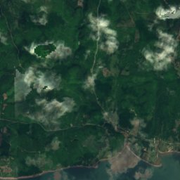
MacLellan Mountain
272 m
Heritage


Satellite: Sentinel-2 cloudless 2016 by EOX IT Services GmbH · CC BY 4.0 · Contains modified Copernicus Sentinel data 2016
Debert Palaeo-Indian Site
national historic site of Canada


