
Military museumDebert, Nova Scotia
CFS Debert
Military museum
KindMilitary museumDebert
Visitors a year–
Founded–
Best monthsJun · Aug–SepDebert
45.43° N, 63.45° WUTC−3 · Atlantic Daylight Time
When to goDebert · weather score
Best timeJun · Aug–Sep
October: high / low14° / 3°
About
CFS Debert in brief
CFS Debert is a military museum in Debert, Nova Scotia, Canada.
For the trip, the weather in Debert is best in June, August and September; in October afternoons average 14°.
Facts
- Kind
- Military museum
- Town
- Debert
- Region
- Nova Scotia
- Coordinates
- 45.42889° N, 63.44500° W
Location
Where to find it
When to visit
Climate guideWeather in Debert
Month score for sightseeing
Best Jun · Aug–Sep23
Jan
26
Feb
22
Mar
24
Apr
55
May
61
Jun
61
Jul
64
Aug
66
Sep
42
Oct
17
Nov
16
Dec
Nearby
All museums in CanadaMore to see close by
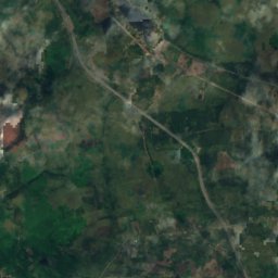
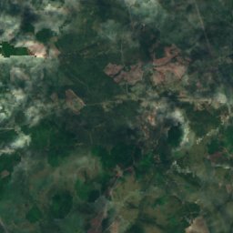
Satellite: Sentinel-2 cloudless 2016 by EOX IT Services GmbH · CC BY 4.0 · Contains modified Copernicus Sentinel data 2016
Debert Palaeo-Indian Site
2.2 km SE
national historic site of Canada
Around here
Debert and around
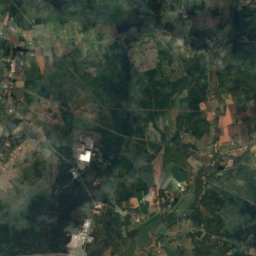
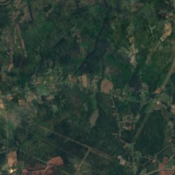
Nature

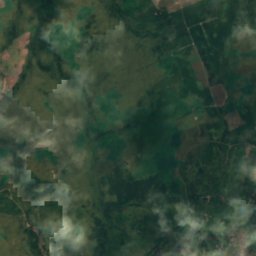
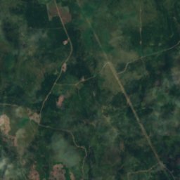
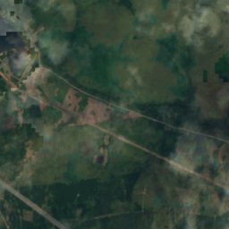
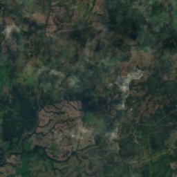
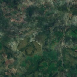
Satellite: Sentinel-2 cloudless 2016 by EOX IT Services GmbH · CC BY 4.0 · Contains modified Copernicus Sentinel data 2016
Slack Lake, Nova Scotia
Lake · 224 m
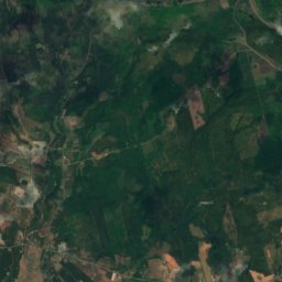
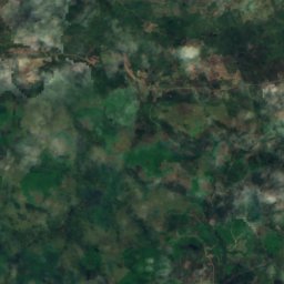
Satellite: Sentinel-2 cloudless 2016 by EOX IT Services GmbH · CC BY 4.0 · Contains modified Copernicus Sentinel data 2016
Frog Lake (Colchester)
Lake · 248 m
Mountains

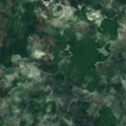
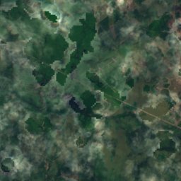
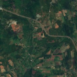
Satellite: Sentinel-2 cloudless 2016 by EOX IT Services GmbH · CC BY 4.0 · Contains modified Copernicus Sentinel data 2016
Stevens Mountain
316 m
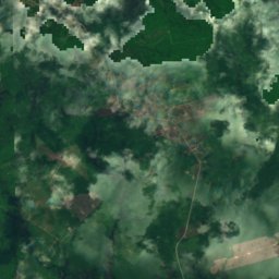
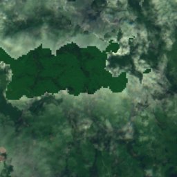
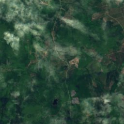
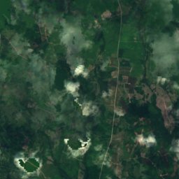
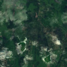
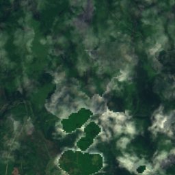
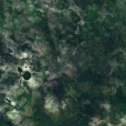
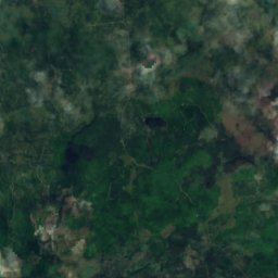
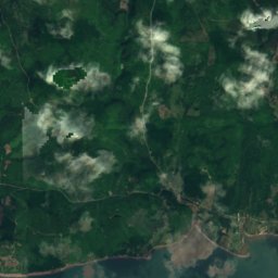
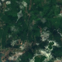
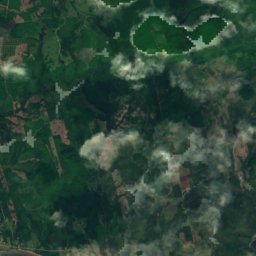
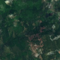
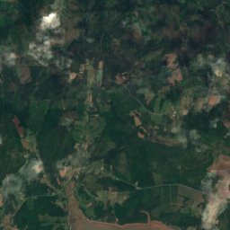
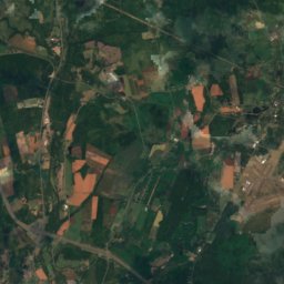
Satellite: Sentinel-2 cloudless 2016 by EOX IT Services GmbH · CC BY 4.0 · Contains modified Copernicus Sentinel data 2016
MacLellan Mountain
272 m
Heritage


Satellite: Sentinel-2 cloudless 2016 by EOX IT Services GmbH · CC BY 4.0 · Contains modified Copernicus Sentinel data 2016
Debert Palaeo-Indian Site
national historic site of Canada