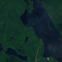
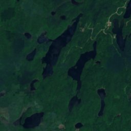
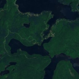
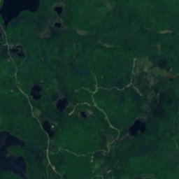
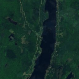
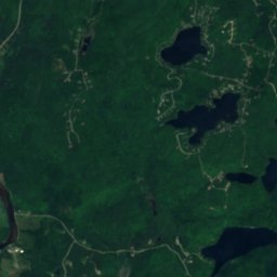
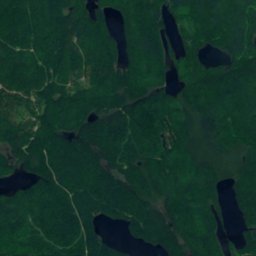
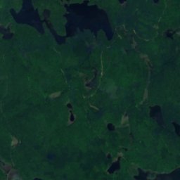
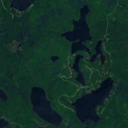
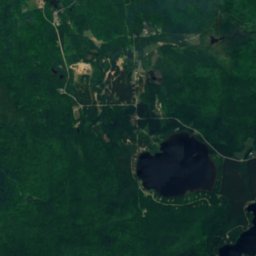
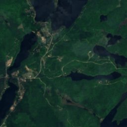
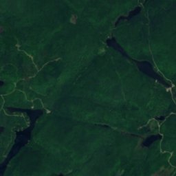
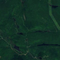
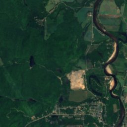
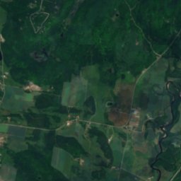
Satellite: Sentinel-2 cloudless 2016 by EOX IT Services GmbH · CC BY 4.0 · Contains modified Copernicus Sentinel data 2016
LakeLac-Simon, Quebec
Lac E
Lake368 m elevationBest Jul–Sep
Elevation368 mabove sea level
Area–surface
Nearest townLac-Simon4.2 km
46.14° N, 74.79° WElevation 368 mUTC−4 · Eastern Daylight Time
When to goLac-Simon · weather score
Best timeJul–Sep
October: high / low11° / 2°
Lake
Lac E in brief
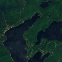
Lac E is a lake in Lac-Simon, Quebec, Canada.
It lies at 368 m above sea level.
The nearest town is Lac-Simon, 4.2 km to the NE, where the weather is best in July, August and September.
Weather nearby now
Forecast for Lac-Simon12°
Sunny now
Today
24 Oct
13°
-1°
Sun
25 Oct
15°
0°
Mon
26 Oct
11°
2°
2 mm
Tue
27 Oct
5°
-3°
Wed
28 Oct
7°
-4°
Model run 00:00 UTCRefreshed several times a day
When to go
Climate of Lac-SimonThe best months around Lac E
Month score in Lac-Simon
Comfort, dry days and sunshine · out of 10016
Jan
17
Feb
18
Mar
18
Apr
59
May
64
Jun
65
Jul
65
Aug
68
Sep
23
Oct
14
Nov
14
Dec
Map
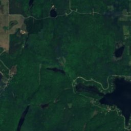
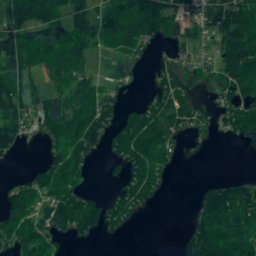
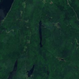
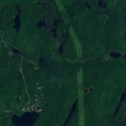
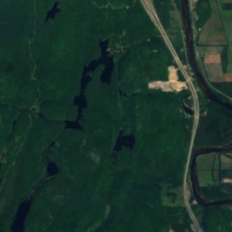
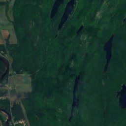
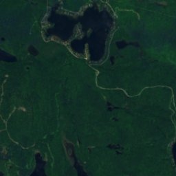
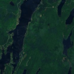
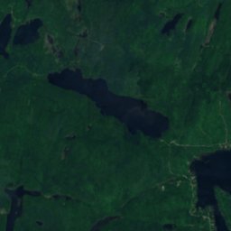
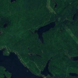
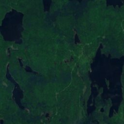
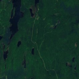
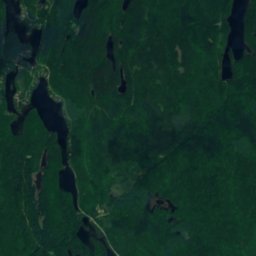
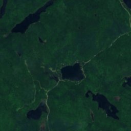
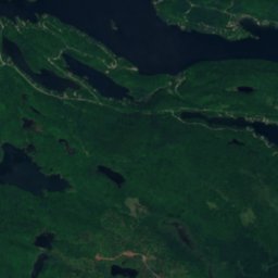
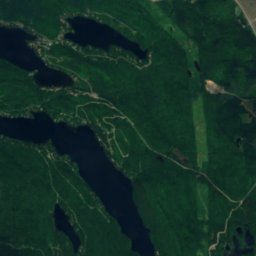
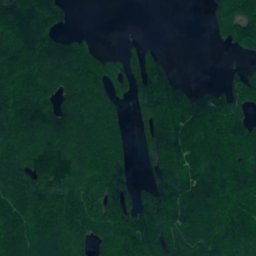
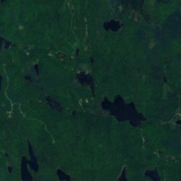
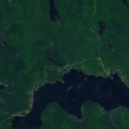
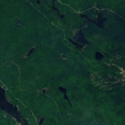
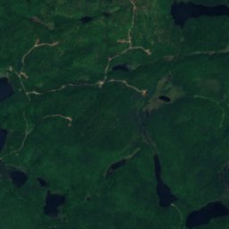
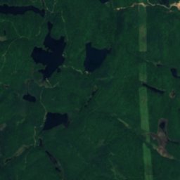
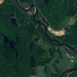
Lac E from above
Nature nearbyAll of Canada
Satellite: Sentinel-2 cloudless 2016 by EOX IT Services GmbH · CC BY 4.0 · Contains modified Copernicus Sentinel data 2016
Satellite: Sentinel-2 cloudless 2016 by EOX IT Services GmbH · CC BY 4.0 · Contains modified Copernicus Sentinel data 2016
Satellite: Sentinel-2 cloudless 2016 by EOX IT Services GmbH · CC BY 4.0 · Contains modified Copernicus Sentinel data 2016
Satellite: Sentinel-2 cloudless 2016 by EOX IT Services GmbH · CC BY 4.0 · Contains modified Copernicus Sentinel data 2016
Satellite: Sentinel-2 cloudless 2016 by EOX IT Services GmbH · CC BY 4.0 · Contains modified Copernicus Sentinel data 2016
Satellite: Sentinel-2 cloudless 2016 by EOX IT Services GmbH · CC BY 4.0 · Contains modified Copernicus Sentinel data 2016
Summits nearbyMountains of Canada
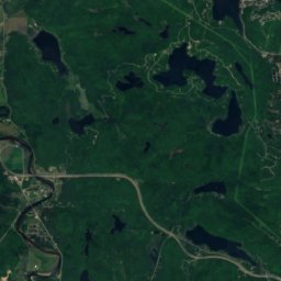
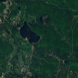
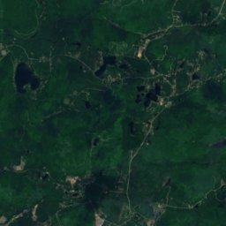
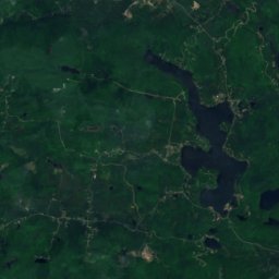
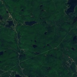
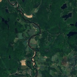
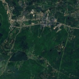
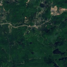
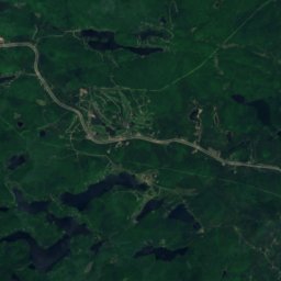
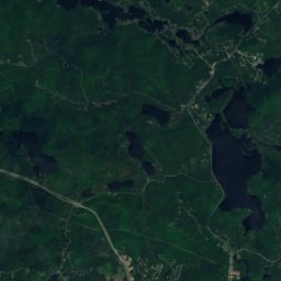
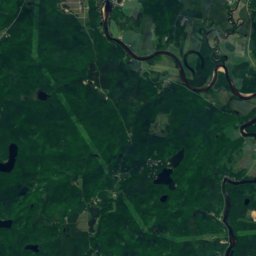
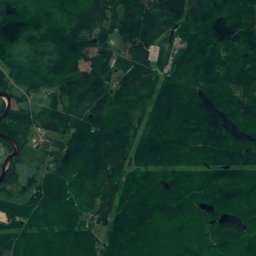
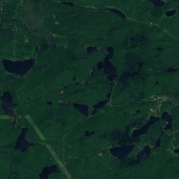
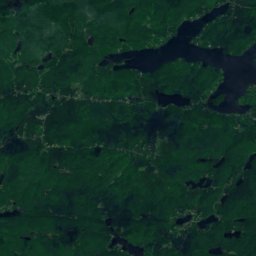
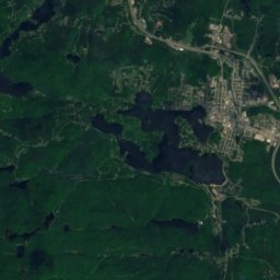
Satellite: Sentinel-2 cloudless 2016 by EOX IT Services GmbH · CC BY 4.0 · Contains modified Copernicus Sentinel data 2016
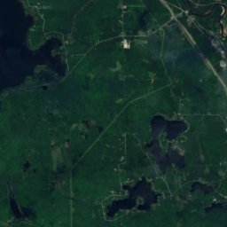
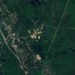
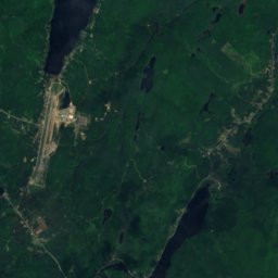
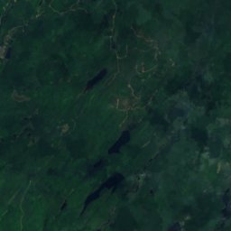
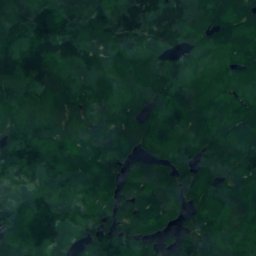
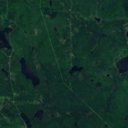
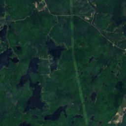
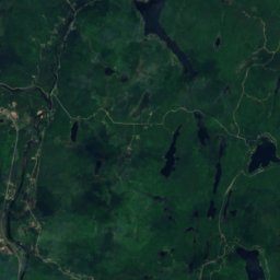
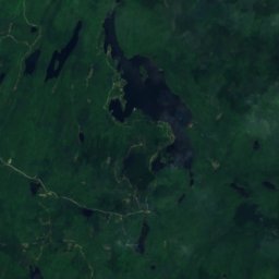
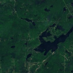
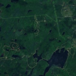
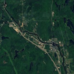
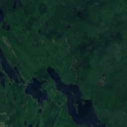
Satellite: Sentinel-2 cloudless 2016 by EOX IT Services GmbH · CC BY 4.0 · Contains modified Copernicus Sentinel data 2016
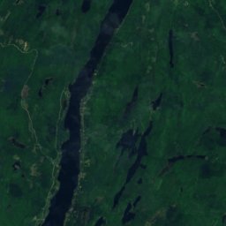
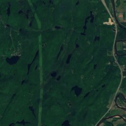
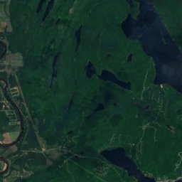
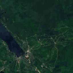
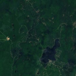
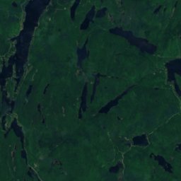
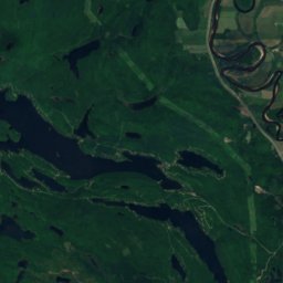
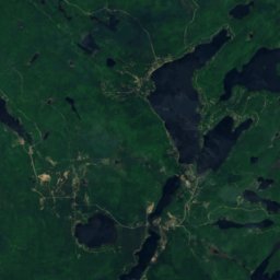
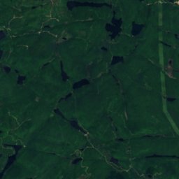
Satellite: Sentinel-2 cloudless 2016 by EOX IT Services GmbH · CC BY 4.0 · Contains modified Copernicus Sentinel data 2016
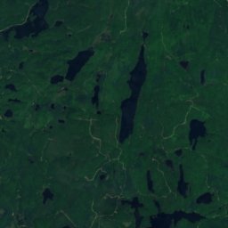
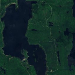
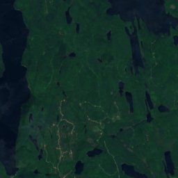
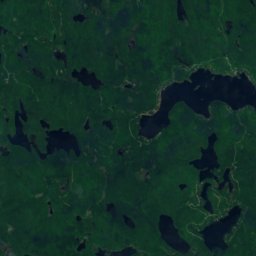
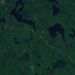
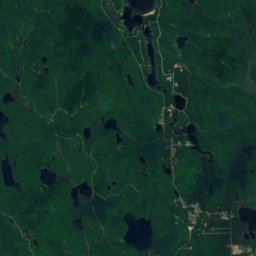
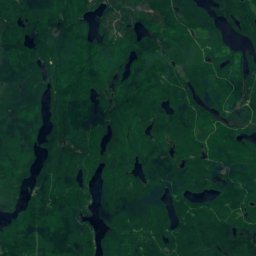
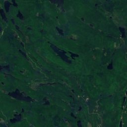
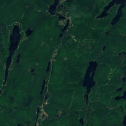
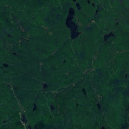
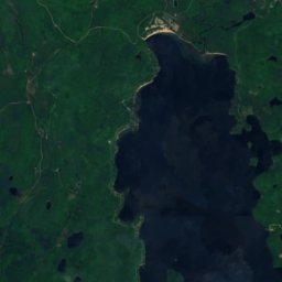
Satellite: Sentinel-2 cloudless 2016 by EOX IT Services GmbH · CC BY 4.0 · Contains modified Copernicus Sentinel data 2016
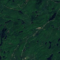
Satellite: Sentinel-2 cloudless 2016 by EOX IT Services GmbH · CC BY 4.0 · Contains modified Copernicus Sentinel data 2016
Satellite: Sentinel-2 cloudless 2016 by EOX IT Services GmbH · CC BY 4.0 · Contains modified Copernicus Sentinel data 2016
Stay nearby
Towns close by
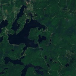
Satellite: Sentinel-2 cloudless 2016 by EOX IT Services GmbH · CC BY 4.0 · Contains modified Copernicus Sentinel data 2016
Lac-Simon
Quebec · 4.2 km NE
11°Oct high
18wet days
23score

Photo: I, Stephane-montreal · CC BY-SA 3.0 · Wikimedia CommonsReport this photo · linked, not stored
La Conception
Quebec · 7.0 km E
11°Oct high
18wet days
25score


Around here
Lac-Simon and around
Nature


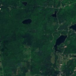
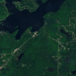
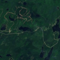
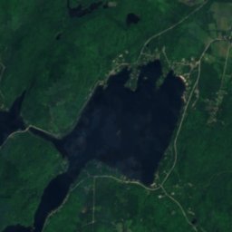
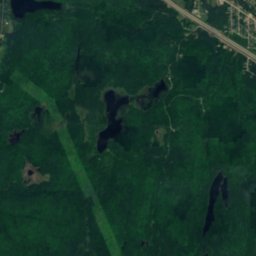
Satellite: Sentinel-2 cloudless 2016 by EOX IT Services GmbH · CC BY 4.0 · Contains modified Copernicus Sentinel data 2016
Lac Labelle, La Minerve
Lake · 247 m
Mountains
Satellite: Sentinel-2 cloudless 2016 by EOX IT Services GmbH · CC BY 4.0 · Contains modified Copernicus Sentinel data 2016
Mont Blanc, Saint-Faustin--Lac-Carré
540 m · Laurentian Mountains
Satellite: Sentinel-2 cloudless 2016 by EOX IT Services GmbH · CC BY 4.0 · Contains modified Copernicus Sentinel data 2016
Montagne du Caribou
440 m · Laurentian Mountains
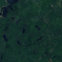
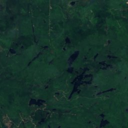
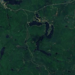
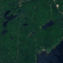
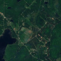
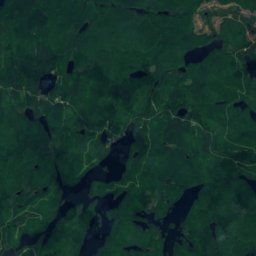
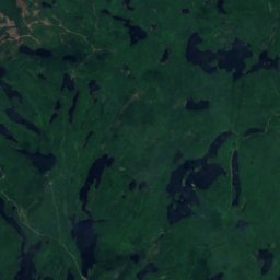
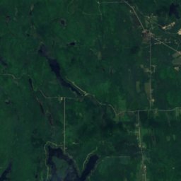
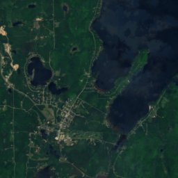
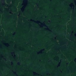
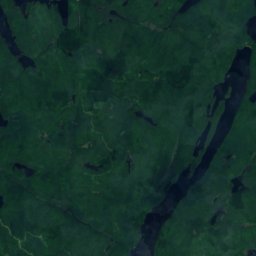
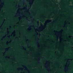
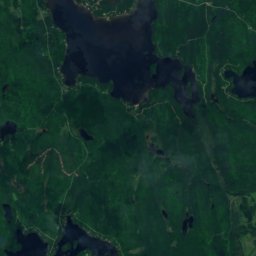
Satellite: Sentinel-2 cloudless 2016 by EOX IT Services GmbH · CC BY 4.0 · Contains modified Copernicus Sentinel data 2016
Montagne d'Équerre
426 m
Museums



Satellite: Sentinel-2 cloudless 2016 by EOX IT Services GmbH · CC BY 4.0 · Contains modified Copernicus Sentinel data 2016
Canadian Ski Museum
1975