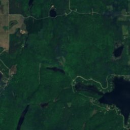
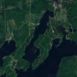
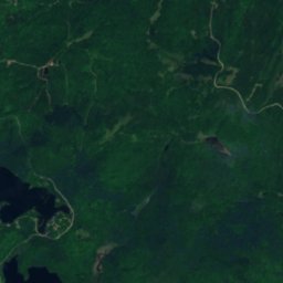
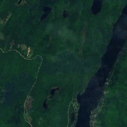
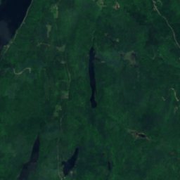
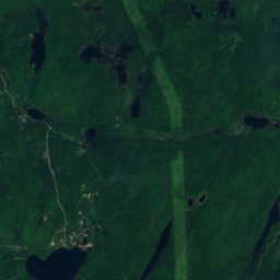
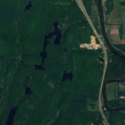
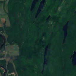
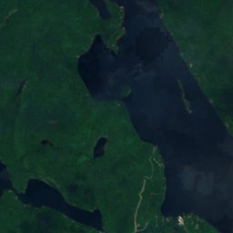
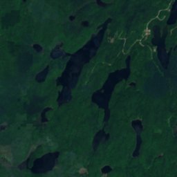
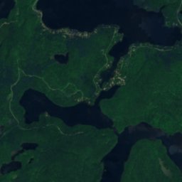
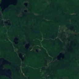
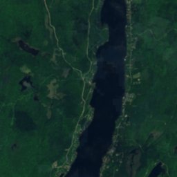
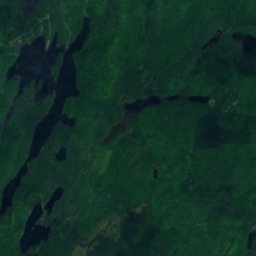
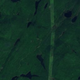
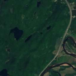
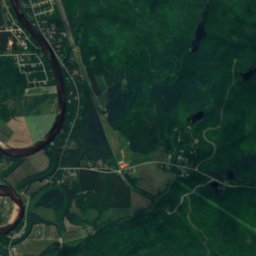
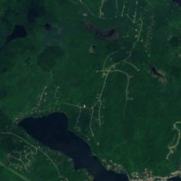
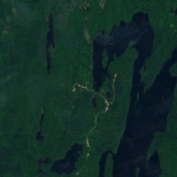
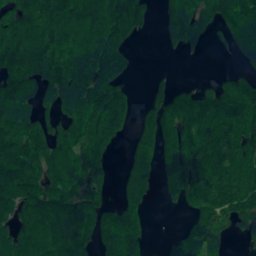
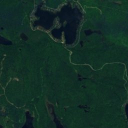
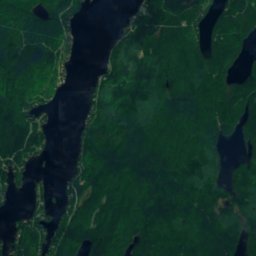
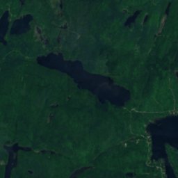
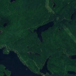
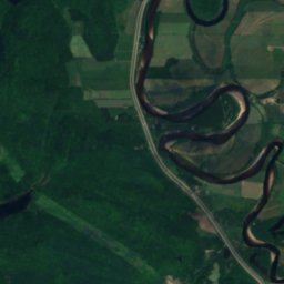
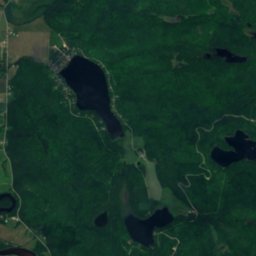
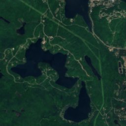
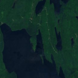
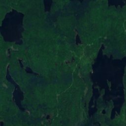
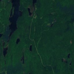
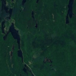
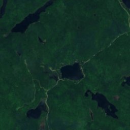
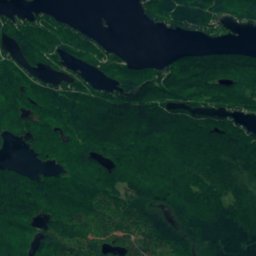
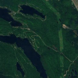
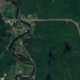
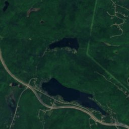
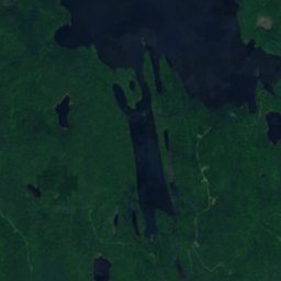
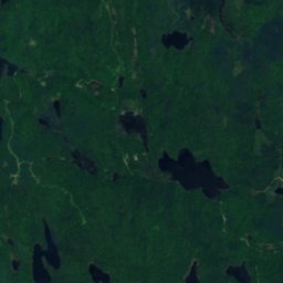
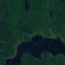
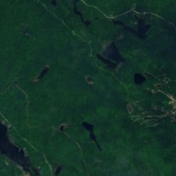
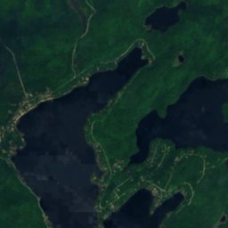
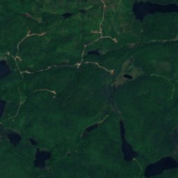
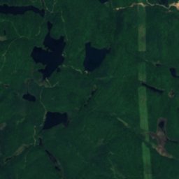
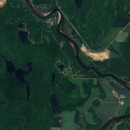
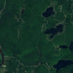
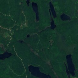
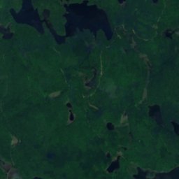
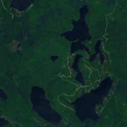
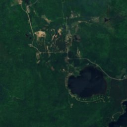
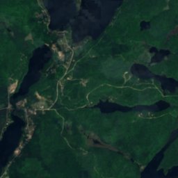
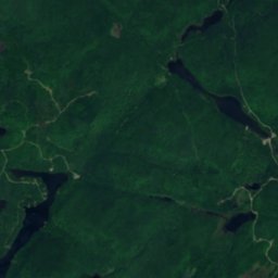
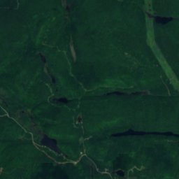
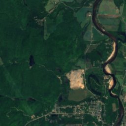
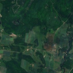
Satelita: Sentinel-2 cloudless 2016 – EOX IT Services GmbH · CC BY 4.0 · Zawiera zmodyfikowane dane Copernicus Sentinel (2016)
JezioroLac-Simon, Quebec
Lac E
Jezioro368 m n.p.m.Najlepszy czas: lip–wrz
Wysokość368 mn.p.m.
Powierzchnia–powierzchnia całkowita
Najbliższa miejscowośćLac-Simon4,2 km
46,14° N, 74,79° WWysokość 368 mUTC−4 · czas wschodnioamerykański letni
Kiedy jechaćLac-Simon · ocena pogody
Najlepszy czaslip–wrz
październik: maks. / min.11° / 2°
Jezioro
Lac E w skrócie
Lac E to jezioro w Kanadzie (Quebec), w pobliżu miejscowości Lac-Simon.
Wysokość: 368 m n.p.m.
Najbliższa miejscowość to Lac-Simon, 4,2 km na północny wschód; pogoda jest tam najprzyjemniejsza w tych miesiącach: lipiec, sierpień i wrzesień.
Pogoda w okolicy
Prognoza: Lac-Simon8°
Teraz: pochmurno
Dziś
26 paź
9°
1°
2 mm
wt.
27 paź
5°
-3°
śr.
28 paź
8°
-4°
czw.
29 paź
14°
2°
3 mm
pt.
30 paź
12°
1°
1 mm
Przebieg modelu 12:00 UTCAktualizowane kilka razy dziennie
Kiedy jechać
Klimat: Lac-SimonLac E: najlepsze miesiące
Ocena miesięczna: Lac-Simon
Komfort, dni bez opadu i słońce · w skali do 10016
sty
17
lut
18
mar
18
kwi
59
maj
64
cze
65
lip
65
sie
68
wrz
23
paź
14
lis
14
gru
Mapa
Lac E z lotu ptaka
Przyroda w okolicyCały kraj
Satelita: Sentinel-2 cloudless 2016 – EOX IT Services GmbH · CC BY 4.0 · Zawiera zmodyfikowane dane Copernicus Sentinel (2016)
Satelita: Sentinel-2 cloudless 2016 – EOX IT Services GmbH · CC BY 4.0 · Zawiera zmodyfikowane dane Copernicus Sentinel (2016)
Satelita: Sentinel-2 cloudless 2016 – EOX IT Services GmbH · CC BY 4.0 · Zawiera zmodyfikowane dane Copernicus Sentinel (2016)
Satelita: Sentinel-2 cloudless 2016 – EOX IT Services GmbH · CC BY 4.0 · Zawiera zmodyfikowane dane Copernicus Sentinel (2016)
Satelita: Sentinel-2 cloudless 2016 – EOX IT Services GmbH · CC BY 4.0 · Zawiera zmodyfikowane dane Copernicus Sentinel (2016)
Satelita: Sentinel-2 cloudless 2016 – EOX IT Services GmbH · CC BY 4.0 · Zawiera zmodyfikowane dane Copernicus Sentinel (2016)
Szczyty w okolicyGóry Kanady
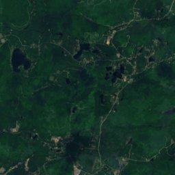
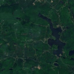
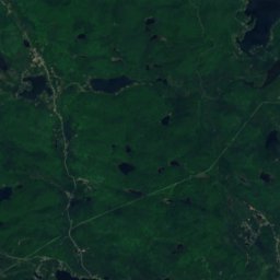
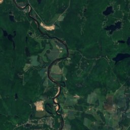
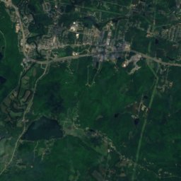
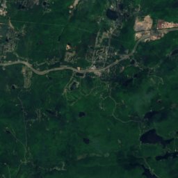
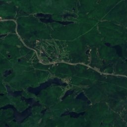
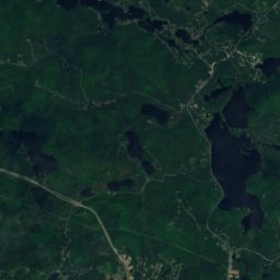
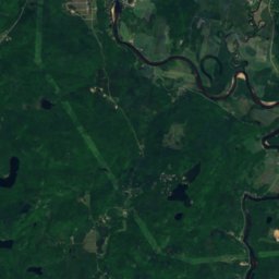
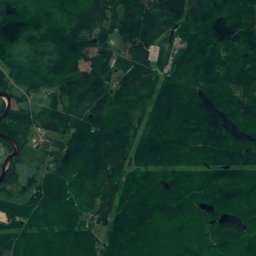
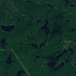
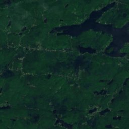
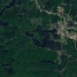
Satelita: Sentinel-2 cloudless 2016 – EOX IT Services GmbH · CC BY 4.0 · Zawiera zmodyfikowane dane Copernicus Sentinel (2016)
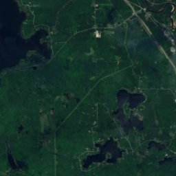
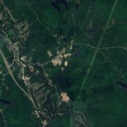
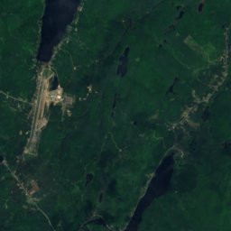
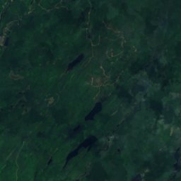
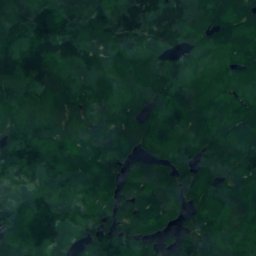
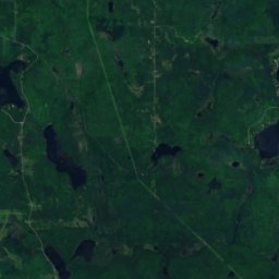
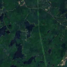
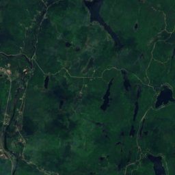
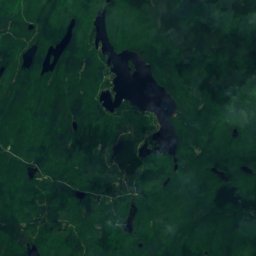
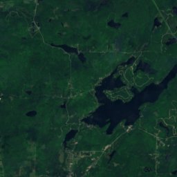
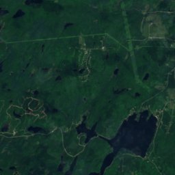
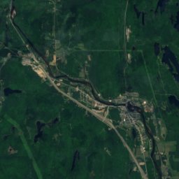
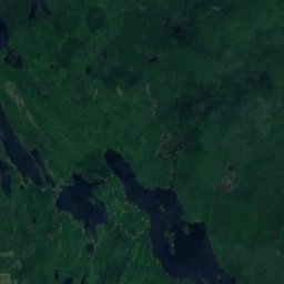
Satelita: Sentinel-2 cloudless 2016 – EOX IT Services GmbH · CC BY 4.0 · Zawiera zmodyfikowane dane Copernicus Sentinel (2016)
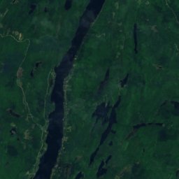
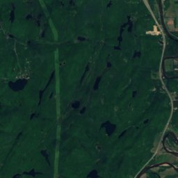
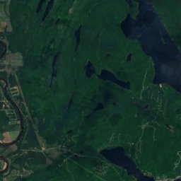
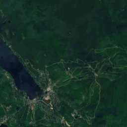
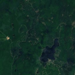
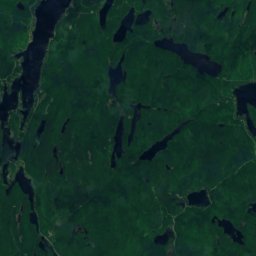
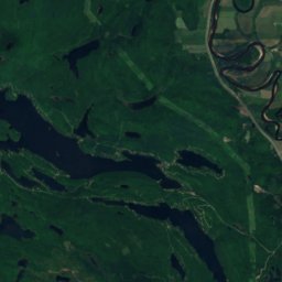
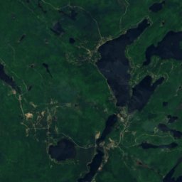
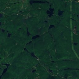
Satelita: Sentinel-2 cloudless 2016 – EOX IT Services GmbH · CC BY 4.0 · Zawiera zmodyfikowane dane Copernicus Sentinel (2016)
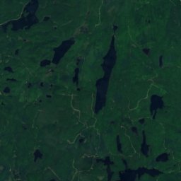
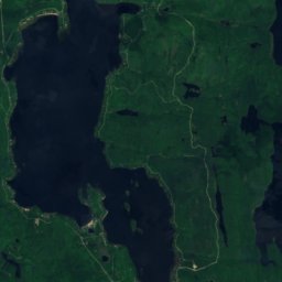
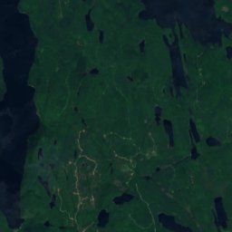
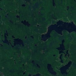
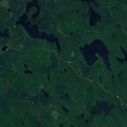
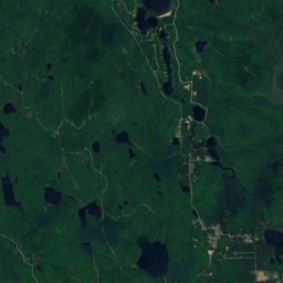
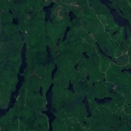
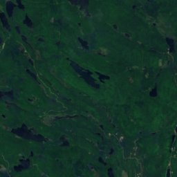
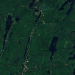
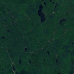
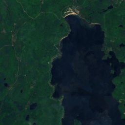
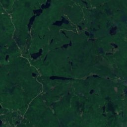
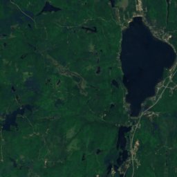
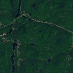
Satelita: Sentinel-2 cloudless 2016 – EOX IT Services GmbH · CC BY 4.0 · Zawiera zmodyfikowane dane Copernicus Sentinel (2016)
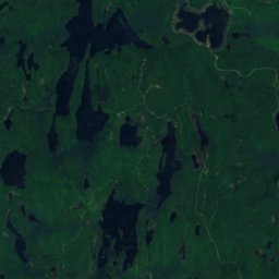
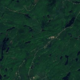
Satelita: Sentinel-2 cloudless 2016 – EOX IT Services GmbH · CC BY 4.0 · Zawiera zmodyfikowane dane Copernicus Sentinel (2016)
Satelita: Sentinel-2 cloudless 2016 – EOX IT Services GmbH · CC BY 4.0 · Zawiera zmodyfikowane dane Copernicus Sentinel (2016)
Noclegi w okolicy
Miejscowości w pobliżu
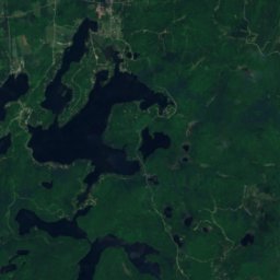
Satelita: Sentinel-2 cloudless 2016 – EOX IT Services GmbH · CC BY 4.0 · Zawiera zmodyfikowane dane Copernicus Sentinel (2016)
Lac-Simon
Quebec · 4,2 km NE
11°maks. paź
18dni z opadem
23ocena

Zdjęcie: I, Stephane-montreal · CC BY-SA 3.0 · Wikimedia CommonsZgłoś to zdjęcie · wyświetlane przez odnośnik, nie kopiowane
La Conception
Quebec · 7,0 km E
11°maks. paź
18dni z opadem
25ocena

Zdjęcie: Franky-Doo-Dy · CC BY-SA 3.0 · Wikimedia CommonsZgłoś to zdjęcie · wyświetlane przez odnośnik, nie kopiowane
La Minerve
Quebec · 17 km NW
11°maks. paź
18dni z opadem
20ocena

Zdjęcie: P199 · CC BY-SA 3.0 · Wikimedia CommonsZgłoś to zdjęcie · wyświetlane przez odnośnik, nie kopiowane
Labelle
Quebec · 17 km N
11°maks. paź
18dni z opadem
23ocena
W okolicy
Lac-Simon i okolice
Przyroda

Zdjęcie: Unknown author · CC BY-SA 3.0 · Wikimedia CommonsZgłoś to zdjęcie · wyświetlane przez odnośnik, nie kopiowane
Lac Cameron, Lac-Simon
Jezioro · 220 m

Zdjęcie: Fralambert · CC BY-SA 4.0 · Wikimedia CommonsZgłoś to zdjęcie · wyświetlane przez odnośnik, nie kopiowane
Rivière Maskinongé, Lac-Simon
Rzeka
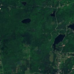
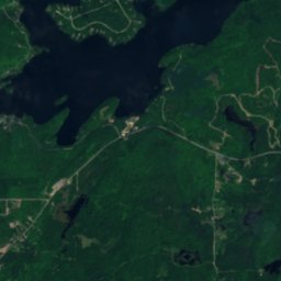
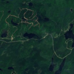
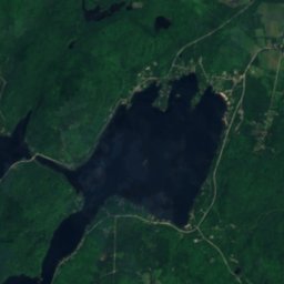
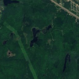
Satelita: Sentinel-2 cloudless 2016 – EOX IT Services GmbH · CC BY 4.0 · Zawiera zmodyfikowane dane Copernicus Sentinel (2016)
Lac Labelle, La Minerve
Jezioro · 247 m
Góry
Satelita: Sentinel-2 cloudless 2016 – EOX IT Services GmbH · CC BY 4.0 · Zawiera zmodyfikowane dane Copernicus Sentinel (2016)
Mont Blanc, Saint-Faustin--Lac-Carré
540 m · Góry Laurentyńskie
Satelita: Sentinel-2 cloudless 2016 – EOX IT Services GmbH · CC BY 4.0 · Zawiera zmodyfikowane dane Copernicus Sentinel (2016)
Montagne du Caribou
440 m · Góry Laurentyńskie
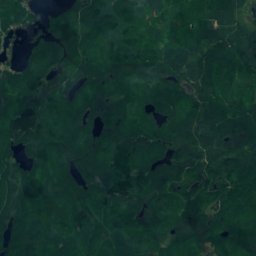
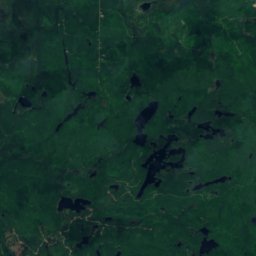
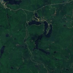
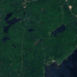
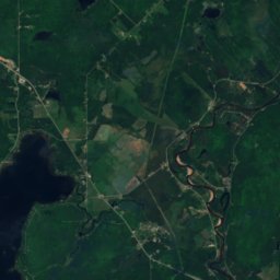
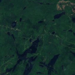
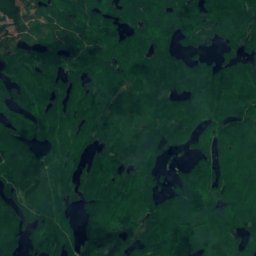
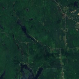
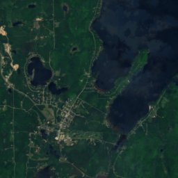
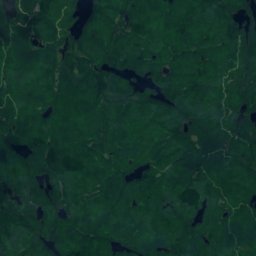
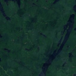
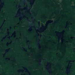
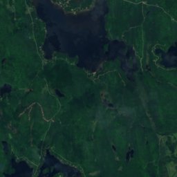
Satelita: Sentinel-2 cloudless 2016 – EOX IT Services GmbH · CC BY 4.0 · Zawiera zmodyfikowane dane Copernicus Sentinel (2016)
Montagne d'Équerre
426 m
Muzea



Satelita: Sentinel-2 cloudless 2016 – EOX IT Services GmbH · CC BY 4.0 · Zawiera zmodyfikowane dane Copernicus Sentinel (2016)
Musée canadien du ski
1975