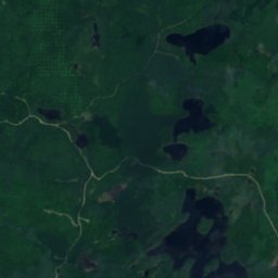
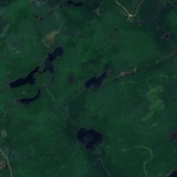
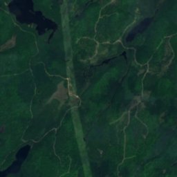
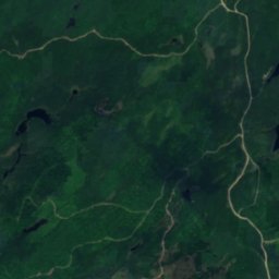
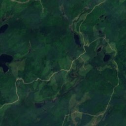
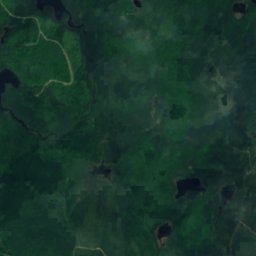
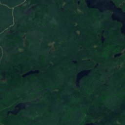
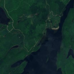
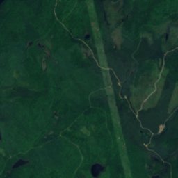
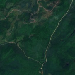
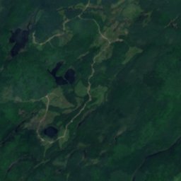
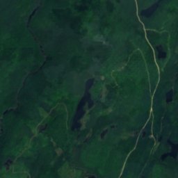
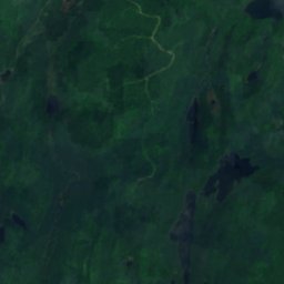
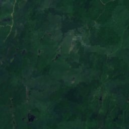
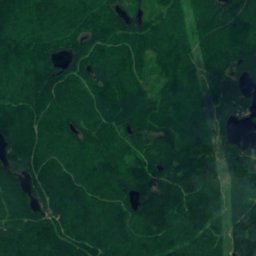
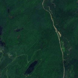
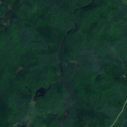
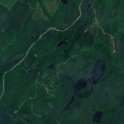
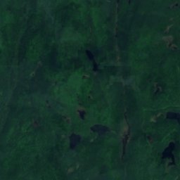
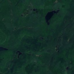
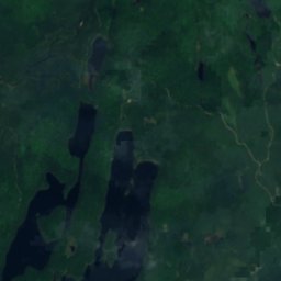
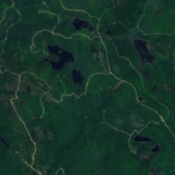
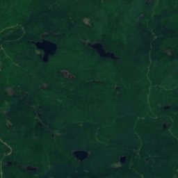
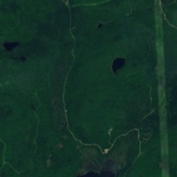
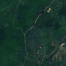
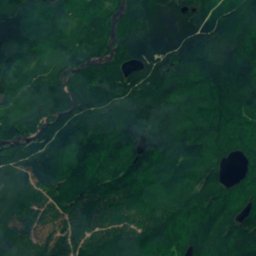
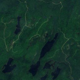
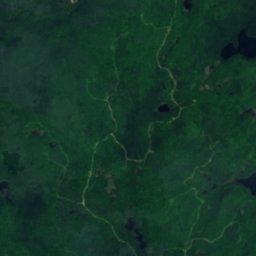
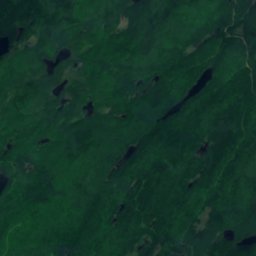
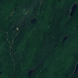
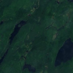
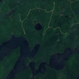
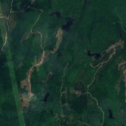
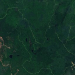
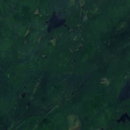
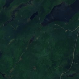
Satellite: Sentinel-2 cloudless 2016 by EOX IT Services GmbH · CC BY 4.0 · Contains modified Copernicus Sentinel data 2016
LakeL'Ascension, Quebec
Étang Java
Lake399 m elevationBest Jul–Sep
Elevation399 mabove sea level
Area0.1 km²surface
Nearest townL'Ascension13 km
46.63° N, 74.71° WElevation 399 mUTC−4 · Eastern Daylight Time
When to goL'Ascension · weather score
Best timeJul–Sep
October: high / low11° / 2°
Lake
Étang Java in brief
Étang Java is a lake in L'Ascension, Quebec, Canada.
It lies at 399 m above sea level and covers about 0.1 km².
The nearest town is L'Ascension, 13 km to the SW, where the weather is best in July, August and September.
Weather nearby now
Forecast for L'Ascension-2°
Cloudy now
Today
24 Oct
12°
-3°
Sun
25 Oct
15°
0°
Mon
26 Oct
11°
2°
2 mm
Tue
27 Oct
5°
-3°
Wed
28 Oct
7°
-3°
Model run 00:00 UTCRefreshed several times a day
The lake's water
Surface, average depth and volume of the lake, and the length of its shore.Surface0.1 km²
Average depth5 m
Volume1 million m³
Shoreline1.3 km
When to go
Climate of L'AscensionThe best months around Étang Java
Month score in L'Ascension
Comfort, dry days and sunshine · out of 10015
Jan
17
Feb
18
Mar
20
Apr
59
May
63
Jun
65
Jul
65
Aug
68
Sep
21
Oct
14
Nov
14
Dec
Map
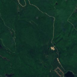
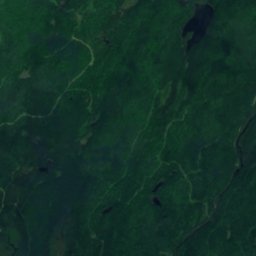
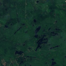
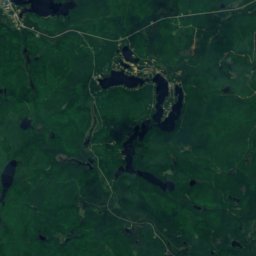
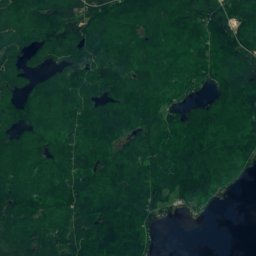
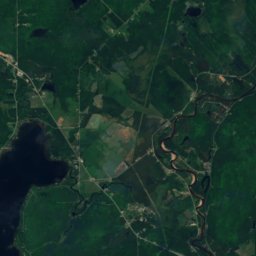
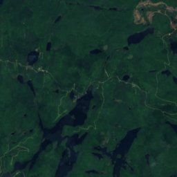
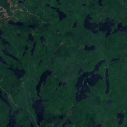
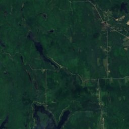
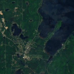
Étang Java from above
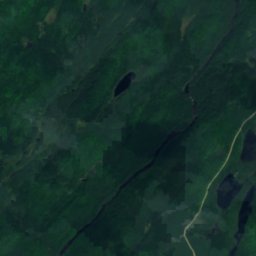
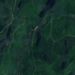
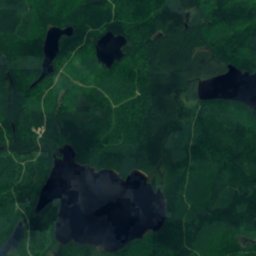
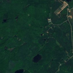
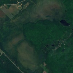
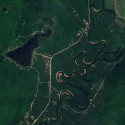
Nature nearbyAll of Canada
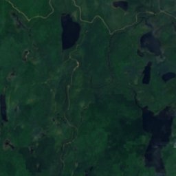
Satellite: Sentinel-2 cloudless 2016 by EOX IT Services GmbH · CC BY 4.0 · Contains modified Copernicus Sentinel data 2016
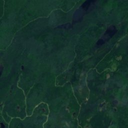
Satellite: Sentinel-2 cloudless 2016 by EOX IT Services GmbH · CC BY 4.0 · Contains modified Copernicus Sentinel data 2016
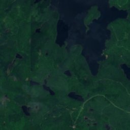
Satellite: Sentinel-2 cloudless 2016 by EOX IT Services GmbH · CC BY 4.0 · Contains modified Copernicus Sentinel data 2016
Satellite: Sentinel-2 cloudless 2016 by EOX IT Services GmbH · CC BY 4.0 · Contains modified Copernicus Sentinel data 2016
Satellite: Sentinel-2 cloudless 2016 by EOX IT Services GmbH · CC BY 4.0 · Contains modified Copernicus Sentinel data 2016
Summits nearbyMountains of Canada
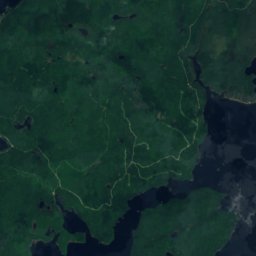
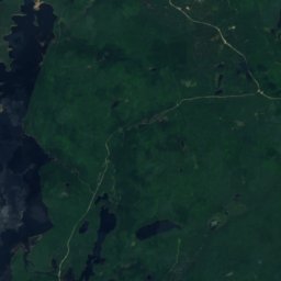
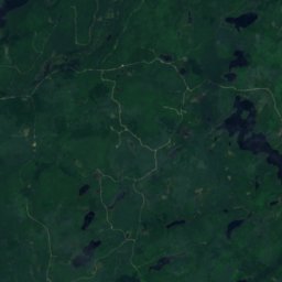
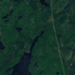
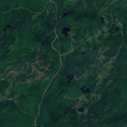
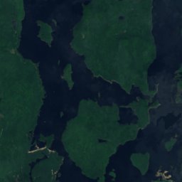
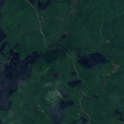
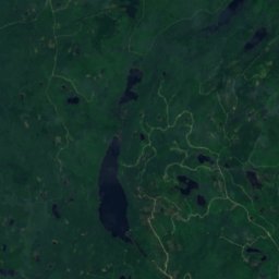
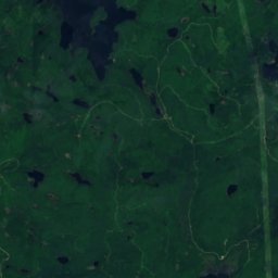
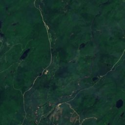
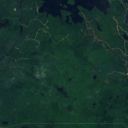
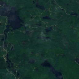
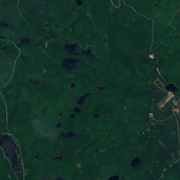
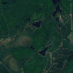
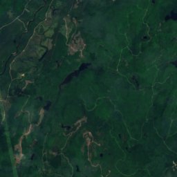
Satellite: Sentinel-2 cloudless 2016 by EOX IT Services GmbH · CC BY 4.0 · Contains modified Copernicus Sentinel data 2016
Stay nearby
Towns close by


Around here
L'Ascension and around
Nature
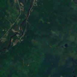
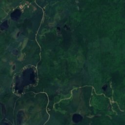
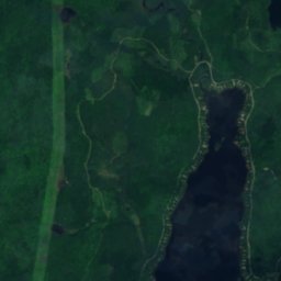
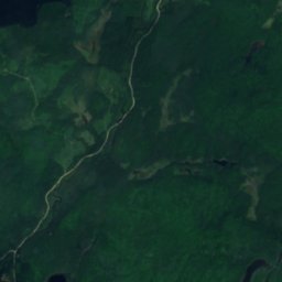
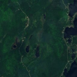
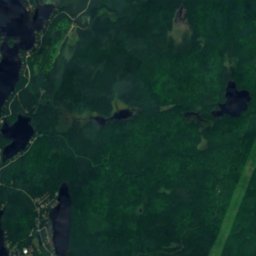
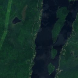
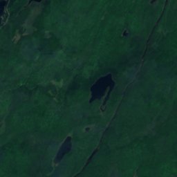
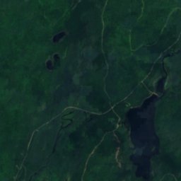
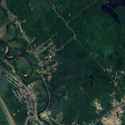
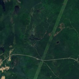
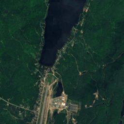
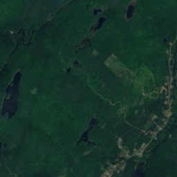
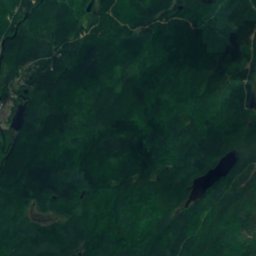
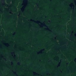
Satellite: Sentinel-2 cloudless 2016 by EOX IT Services GmbH · CC BY 4.0 · Contains modified Copernicus Sentinel data 2016
Lac Chaud, Rivière-Rouge
Lake · 241 m
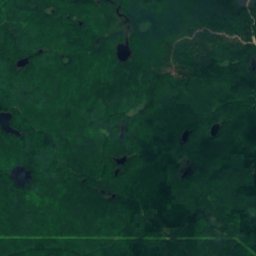
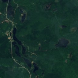
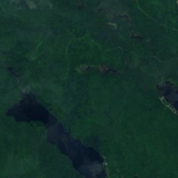
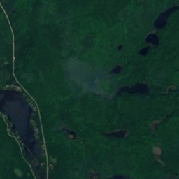
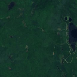
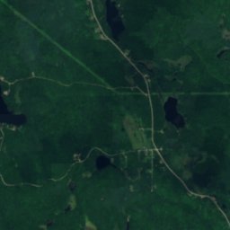
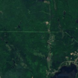
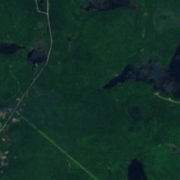
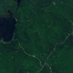
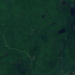
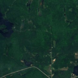
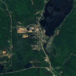
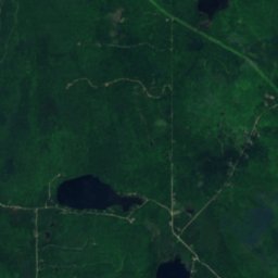
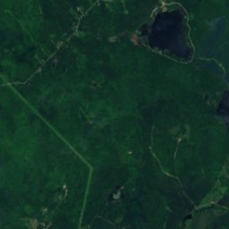
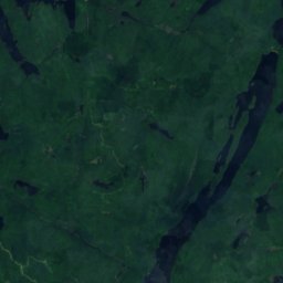
Satellite: Sentinel-2 cloudless 2016 by EOX IT Services GmbH · CC BY 4.0 · Contains modified Copernicus Sentinel data 2016
Lac Tibériade, Quebec
Lake · 248 m
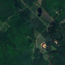
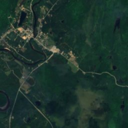
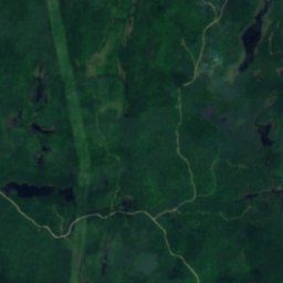
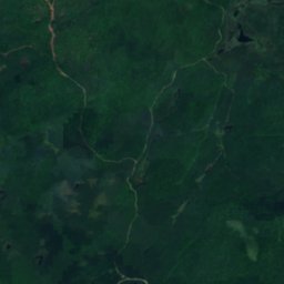
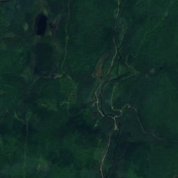
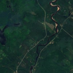
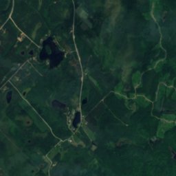
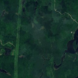
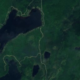
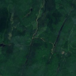
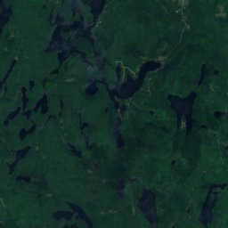
Satellite: Sentinel-2 cloudless 2016 by EOX IT Services GmbH · CC BY 4.0 · Contains modified Copernicus Sentinel data 2016
Lac Lynch, L'Ascension
Lake · 264 m
Mountains
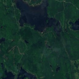
Satellite: Sentinel-2 cloudless 2016 by EOX IT Services GmbH · CC BY 4.0 · Contains modified Copernicus Sentinel data 2016
Montagne à Georges
469 m
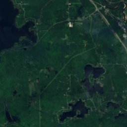
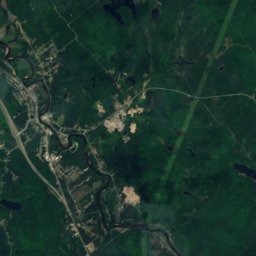
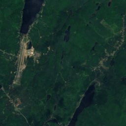
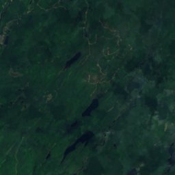
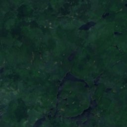
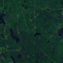
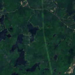
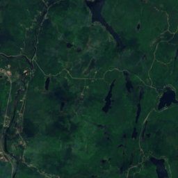
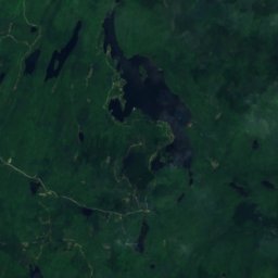
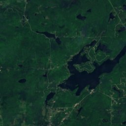
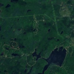
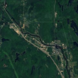
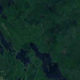
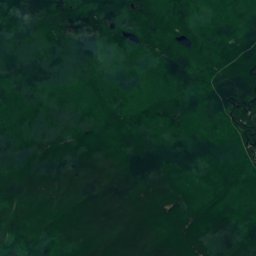
Satellite: Sentinel-2 cloudless 2016 by EOX IT Services GmbH · CC BY 4.0 · Contains modified Copernicus Sentinel data 2016
Montagne du Caribou
440 m · Laurentian Mountains
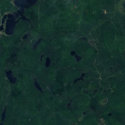


Satellite: Sentinel-2 cloudless 2016 by EOX IT Services GmbH · CC BY 4.0 · Contains modified Copernicus Sentinel data 2016
Montagne d'Équerre
426 m