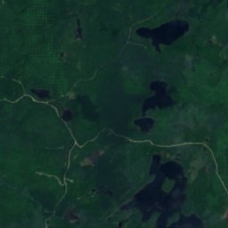
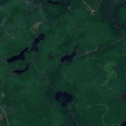
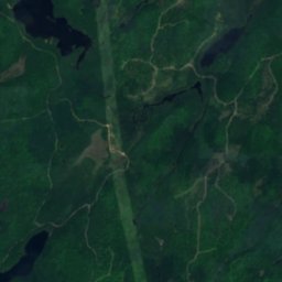
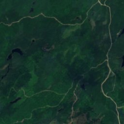
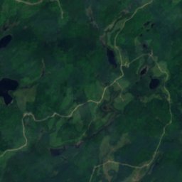
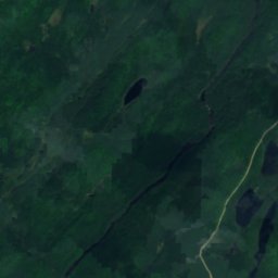
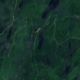
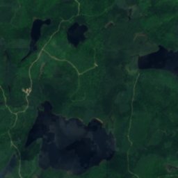
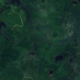
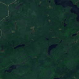
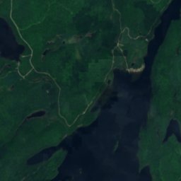
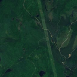
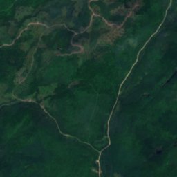
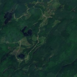
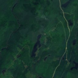
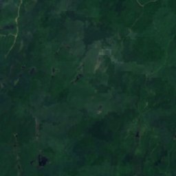
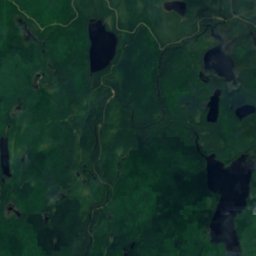
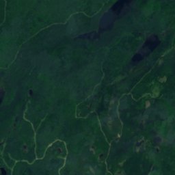
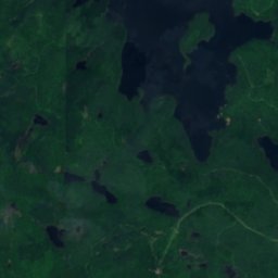
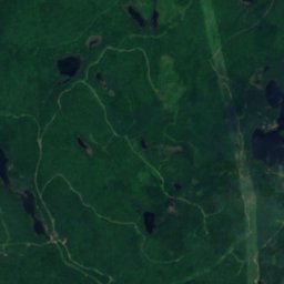
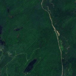
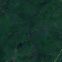
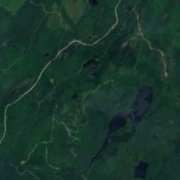
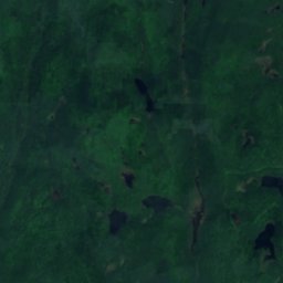
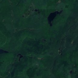
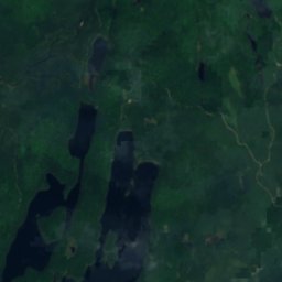
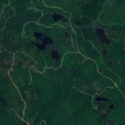
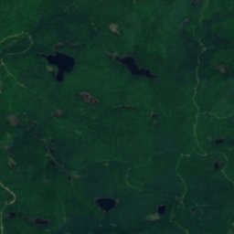
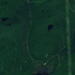
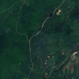
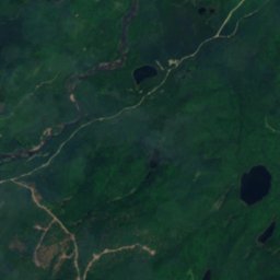
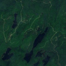
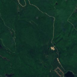
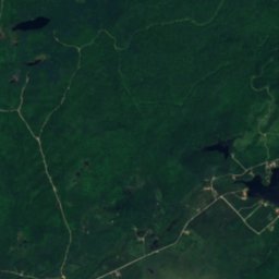
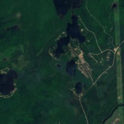
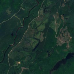
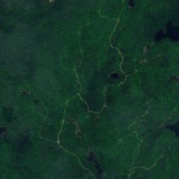
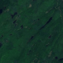
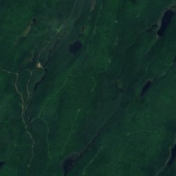
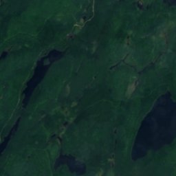
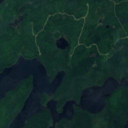
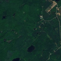
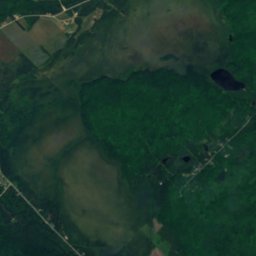
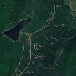
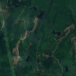
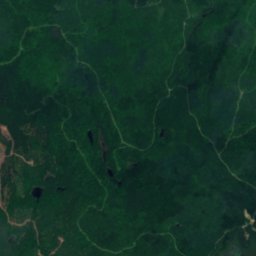
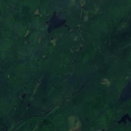
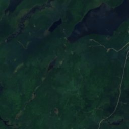
Satellit: Sentinel-2 cloudless 2016 by EOX IT Services GmbH · CC BY 4.0 · Contains modified Copernicus Sentinel data 2016
SeeL'Ascension, Quebec
Étang Java
See399 m HöheAm besten Juli–Sep.
Höhe399 müber dem Meer
Fläche0,1 km²Gesamtfläche
Nächster OrtL'Ascension13 km
46,63° N, 74,71° WHöhe 399 mUTC−4 · Nordamerikanische Ostküsten-Sommerzeit
ReisezeitL'Ascension · Wetterwertung
Beste ZeitJuli–Sep.
Oktober: Max. / Min.11° / 2°
See
Étang Java in Kürze
Étang Java ist ein See in L'Ascension, Quebec, Kanada.
Er liegt 399 m über dem Meer und ist rund 0,1 km² groß.
Der nächste Ort ist L'Ascension, 13 km südwestlich; dort ist das Wetter im Juli, August und September am besten.
Wetter in der Nähe
Vorhersage für L'Ascension0°
Bewölkt – jetzt
Heute
24. Okt.
12°
-3°
So
25. Okt.
15°
0°
Mo
26. Okt.
11°
2°
2 mm
Di
27. Okt.
5°
-3°
Mi
28. Okt.
7°
-3°
Modelllauf 00:00 UTCMehrmals täglich aktualisiert
Das Wasser des Sees
Fläche, mittlere Tiefe und Volumen des Sees sowie die Länge seines Ufers.Fläche0,1 km²
Mittlere Tiefe5 m
Volumen1 Mio. m³
Uferlänge1,3 km
Reisezeit
Klima in L'AscensionDie besten Monate rund um Étang Java
Monats-Score in L'Ascension
Komfort, trockene Tage und Sonne · von 10015
Jan.
17
Feb.
18
März
20
Apr.
59
Mai
63
Juni
65
Juli
65
Aug.
68
Sep.
21
Okt.
14
Nov.
14
Dez.
Karte
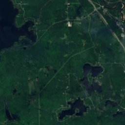
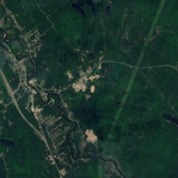
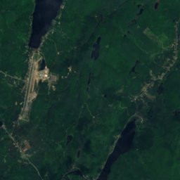
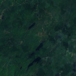
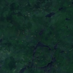
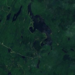
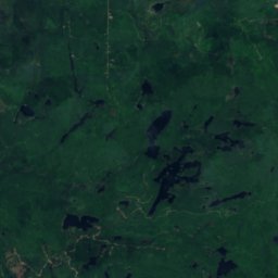
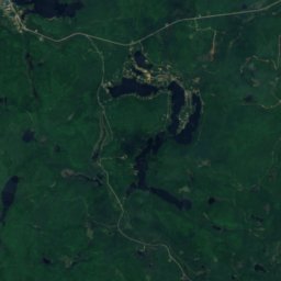
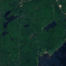
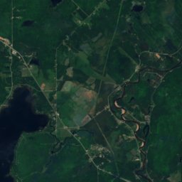
Étang Java von oben
Natur in der NäheAlles in Kanada
Satellit: Sentinel-2 cloudless 2016 by EOX IT Services GmbH · CC BY 4.0 · Contains modified Copernicus Sentinel data 2016
Satellit: Sentinel-2 cloudless 2016 by EOX IT Services GmbH · CC BY 4.0 · Contains modified Copernicus Sentinel data 2016
Satellit: Sentinel-2 cloudless 2016 by EOX IT Services GmbH · CC BY 4.0 · Contains modified Copernicus Sentinel data 2016
Satellit: Sentinel-2 cloudless 2016 by EOX IT Services GmbH · CC BY 4.0 · Contains modified Copernicus Sentinel data 2016
Satellit: Sentinel-2 cloudless 2016 by EOX IT Services GmbH · CC BY 4.0 · Contains modified Copernicus Sentinel data 2016
Gipfel in der NäheBerge in Kanada
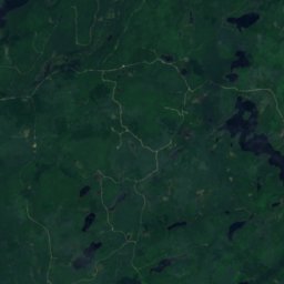
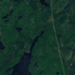
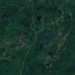
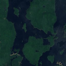
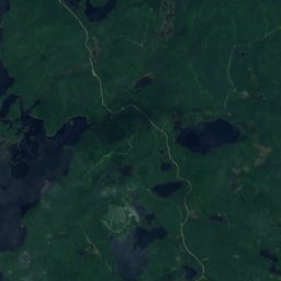
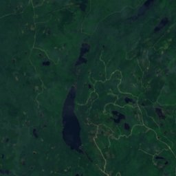
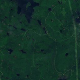
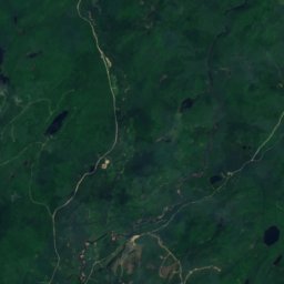
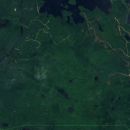
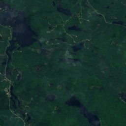
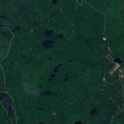
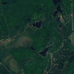
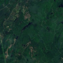
Satellit: Sentinel-2 cloudless 2016 by EOX IT Services GmbH · CC BY 4.0 · Contains modified Copernicus Sentinel data 2016
Übernachten
Orte ganz in der Nähe


In der Umgebung
L'Ascension und Umgebung
Natur
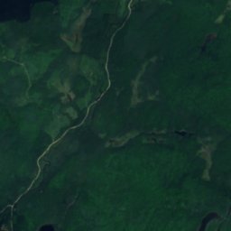
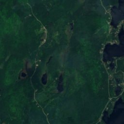
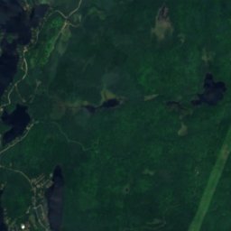
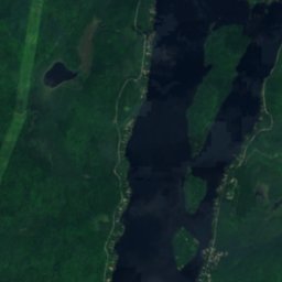
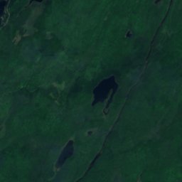
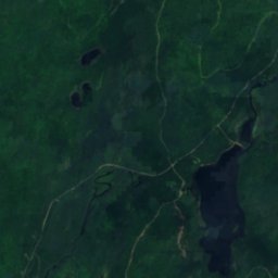
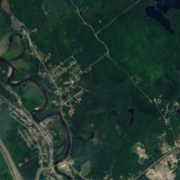
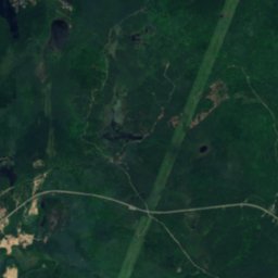
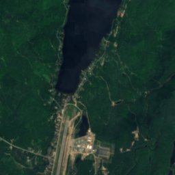
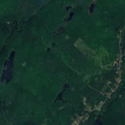
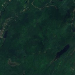
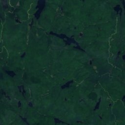
Satellit: Sentinel-2 cloudless 2016 by EOX IT Services GmbH · CC BY 4.0 · Contains modified Copernicus Sentinel data 2016
Lac Chaud, Rivière-Rouge
See · 241 m
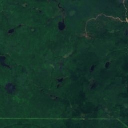
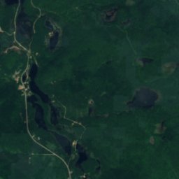
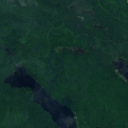
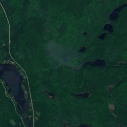
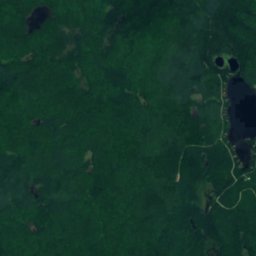
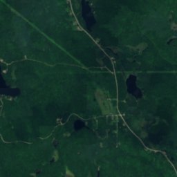
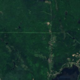
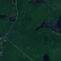
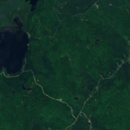
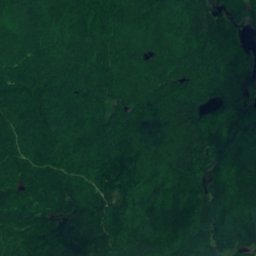
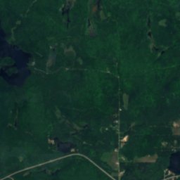
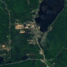
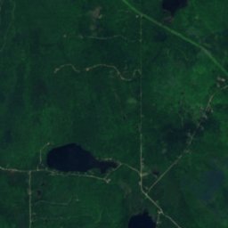
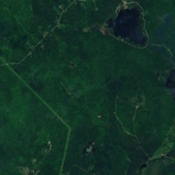
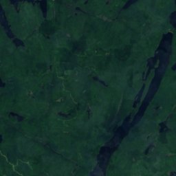
Satellit: Sentinel-2 cloudless 2016 by EOX IT Services GmbH · CC BY 4.0 · Contains modified Copernicus Sentinel data 2016
Lac Tibériade
See · 248 m
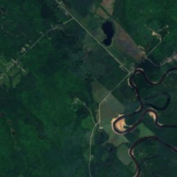
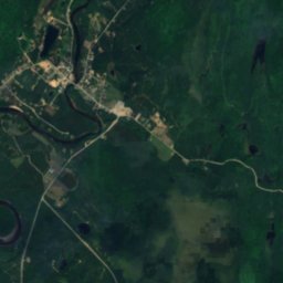
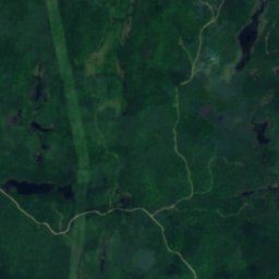
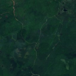
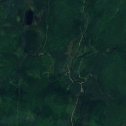
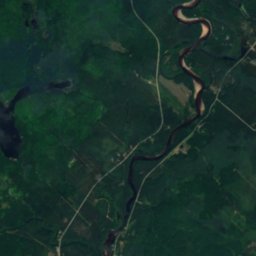
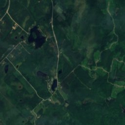
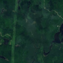
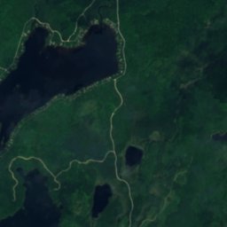
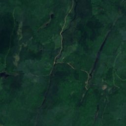
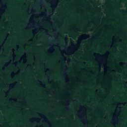
Satellit: Sentinel-2 cloudless 2016 by EOX IT Services GmbH · CC BY 4.0 · Contains modified Copernicus Sentinel data 2016
Lac Lynch, L'Ascension
See · 264 m
Berge
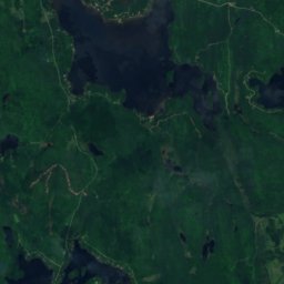
Satellit: Sentinel-2 cloudless 2016 by EOX IT Services GmbH · CC BY 4.0 · Contains modified Copernicus Sentinel data 2016
Montagne à Georges
469 m
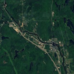
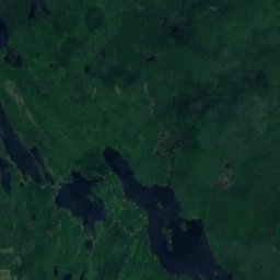
Satellit: Sentinel-2 cloudless 2016 by EOX IT Services GmbH · CC BY 4.0 · Contains modified Copernicus Sentinel data 2016
Montagne du Caribou
440 m · Laurentinische Berge
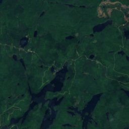
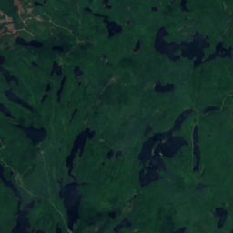
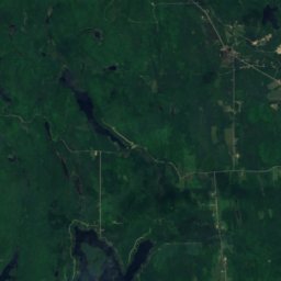
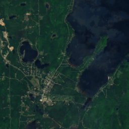


Satellit: Sentinel-2 cloudless 2016 by EOX IT Services GmbH · CC BY 4.0 · Contains modified Copernicus Sentinel data 2016
Montagne d'Équerre
426 m