

Photo: Чигот · CC BY-SA 3.0 · Wikimedia Commons
Lesnovska RiverReport this photo · linked, not stored
Lesnovska RiverLesnovska RiverReport this photo · linked, not stored
 Lake Ariana

Photo: Elena Chochkova · CC BY-SA 4.0 · Wikimedia Commons
Boyanska rekaReport this photo · linked, not stored
Boyanska rekaBoyanska rekaReport this photo · linked, not stored

Photo: Elena Chochkova · CC BY-SA 3.0 · Wikimedia Commons
PerlovskaReport this photo · linked, not stored
PerlovskaPerlovskaReport this photo · linked, not stored
RiverNovi Iskar, Sofia-Capital
Blato River
River554 m elevationBest Apr · Sep–Oct
Elevation554 mabove sea level
Length30 kmsource to mouth
Nearest townNovi Iskar0.7 km
42.80° N, 23.35° EElevation 554 mUTC+3 · Eastern European Summer Time
When to goNovi Iskar · weather score
Best timeApr · Sep–Oct
October: high / low18° / 7°
River
Blato River in brief
Blato River is a river in Novi Iskar, Sofia-Capital, Bulgaria.
It lies at 554 m above sea level.
The nearest town in the atlas is Novi Iskar, 0.7 km to the W, where the weather is best in April, September and October.
Blato River is 30 km long.
Weather nearby now
Forecast for Novi Iskar17°
Showers now
Today
22 Oct
22°
10°
5 mm
Fri
23 Oct
17°
9°
18 mm
Sat
24 Oct
19°
6°
Sun
25 Oct
18°
8°
Mon
26 Oct
19°
7°
Model run 00:00 UTCRefreshed several times a day
The course of the river
As mapped in OpenStreetMap, with the towns of the atlas along its banks.- 1Opitsvet560 m
- 2Petarch549 m
- 3Kostinbrod534 m
sourcemouth (or where the mapped line leaves the country)
When to go
Climate of Novi IskarThe best months around Blato River
Month score in Novi Iskar
Comfort, dry days and sunshine · out of 10031
Jan
33
Feb
39
Mar
70
Apr
66
May
64
Jun
59
Jul
65
Aug
80
Sep
78
Oct
42
Nov
31
Dec
Map
Blato River from above
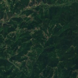
Nature nearbyAll of Bulgaria


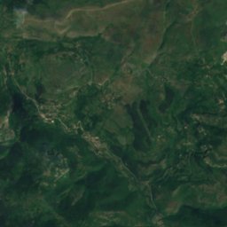
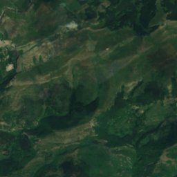
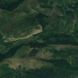
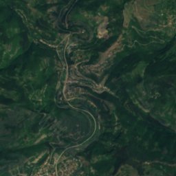
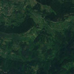
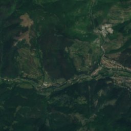
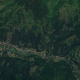
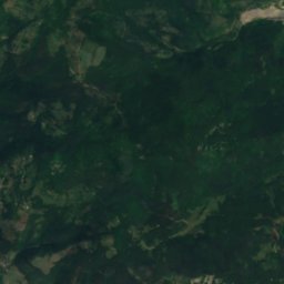
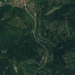
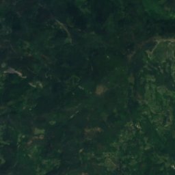
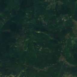
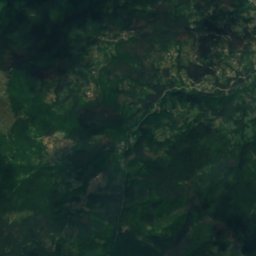
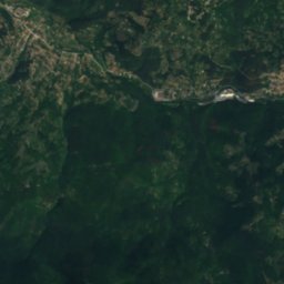
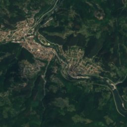
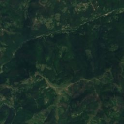
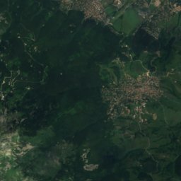
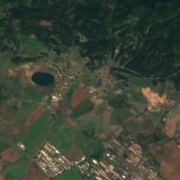
Satellite: Sentinel-2 cloudless 2016 by EOX IT Services GmbH · CC BY 4.0 · Contains modified Copernicus Sentinel data 2016
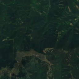
Summits nearbyMountains of Bulgaria
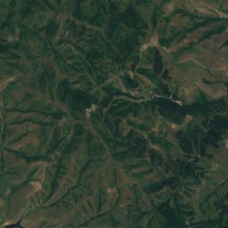
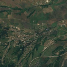
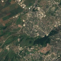
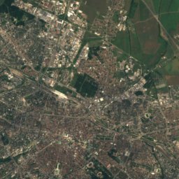
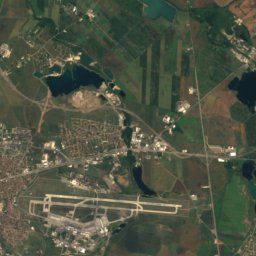
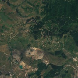
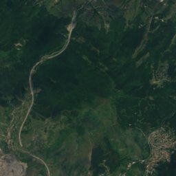
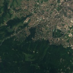
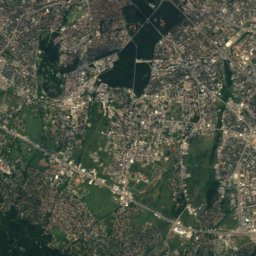
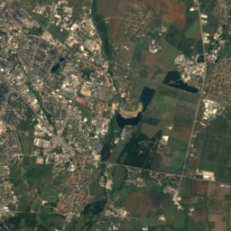
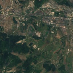
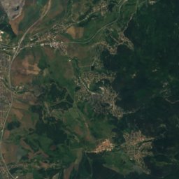
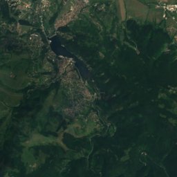
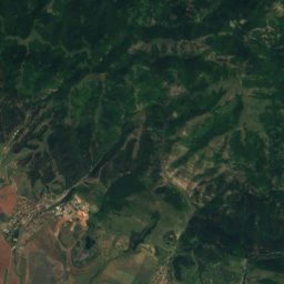
Satellite: Sentinel-2 cloudless 2016 by EOX IT Services GmbH · CC BY 4.0 · Contains modified Copernicus Sentinel data 2016


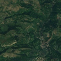
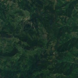
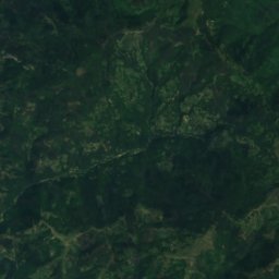
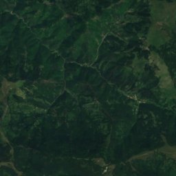
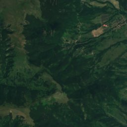
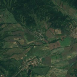
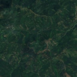
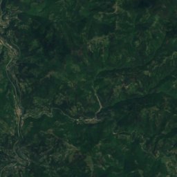
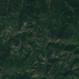
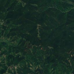
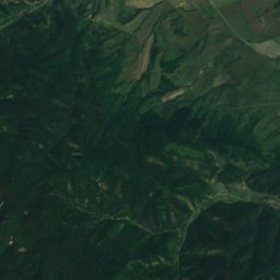
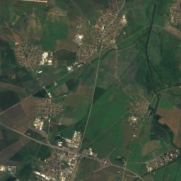
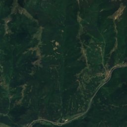
Satellite: Sentinel-2 cloudless 2016 by EOX IT Services GmbH · CC BY 4.0 · Contains modified Copernicus Sentinel data 2016

Stay nearby
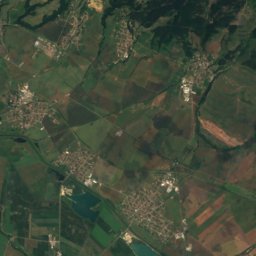
Towns close by


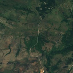
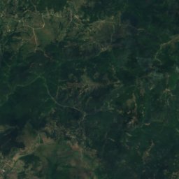
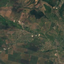
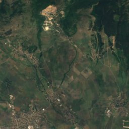
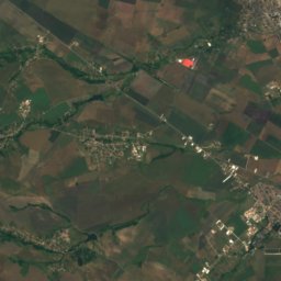
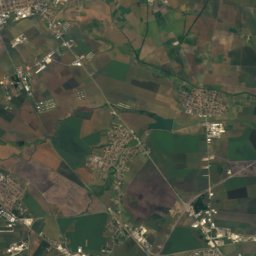
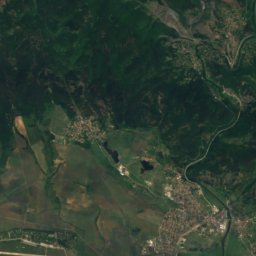
Satellite: Sentinel-2 cloudless 2016 by EOX IT Services GmbH · CC BY 4.0 · Contains modified Copernicus Sentinel data 2016
Svetovrachane
Sofia-Capital · 3.6 km SE
18°Oct high
9wet days
79score

Around here
Novi Iskar and around
Nature

Photo: Preslav~commonswiki · Public domain · Wikimedia CommonsReport this photo · linked, not stored
Lake Pancharevo
Lake · 598 m
Mountains
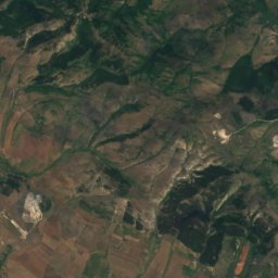
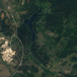
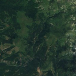
Satellite: Sentinel-2 cloudless 2016 by EOX IT Services GmbH · CC BY 4.0 · Contains modified Copernicus Sentinel data 2016
Vitosha
2,292 m


Heritage

Photo: Preslav~commonswiki · Public domain · Wikimedia CommonsReport this photo · linked, not stored
Saint George Rotunda Church
monument · 330


Photo: Todor Bozhinov / Тодор Божинов / Martyr · CC BY-SA 3.0 · Wikimedia CommonsReport this photo · linked, not stored
Резиденция на френския посланик в София
monument · 1929
Museums

Photo: Plamen Agov • studiolemontree.com · CC BY-SA 4.0 · Wikimedia CommonsReport this photo · linked, not stored
Alexander Nevsky Cathedral
1882

National Archaeological Museum, Bulgaria
Archaeological museum · 1892


