Skip to content
Destinations
Weather & climate
Nature
Outdoors
Culture
Events
Sky & live
Lyulyak hut, Sofia
Photo: Beledie · Public domain · Wikimedia Commons
Lyulyak hut, SofiaReport this photo · linked, not stored
Dobravishka skaklya
Photo: Termininja · CC BY-SA 4.0 · Wikimedia Commons
Dobravishka skaklyaReport this photo · linked, not stored
Dobravishka skaklya
Lesnovska River
Photo: Чигот · CC BY-SA 3.0 · Wikimedia Commons
Lesnovska RiverReport this photo · linked, not stored
Lesnovska River
Sarbenitsa
Photo: Termininja · CC0 · Wikimedia Commons
SarbenitsaReport this photo · linked, not stored
Sarbenitsa
Yavorets
Photo: Termininja · CC0 · Wikimedia Commons
YavoretsReport this photo · linked, not stored
Yavorets
Mountain hutDramsha, Sofia

Lyulyak hut, Sofia

Mountain hut610 m elevationBest Jul–Sep
Elevation610 mabove sea level
Area–surface
Nearest townDramsha5.1 km
42.89° N, 23.17° EElevation 610 mUTC+3 · Eastern European Summer Time
When to goDramsha · weather score
JanFebMarAprMayJunJulAugSepOctNovDec61October
Best timeJul–Sep
October: high / low15° / 5°
Mountain hut

Lyulyak hut, Sofia in brief

Lyulyak hut, Sofia is a mountain hut in Dramsha, Sofia, Bulgaria.

It lies at 610 m above sea level.

The nearest town in the atlas is Dramsha, 5.1 km to the NE, where the weather is best in July, August and September.

Dramsha: weather and travel guide

Weather nearby now

Forecast for Dramsha
14°
Showers now
Wind1 km/h
Humidity92%
Cloud cover16%
Today
22 Oct
17°
9°
5 mm
Fri
23 Oct
15°
7°
17 mm
Sat
24 Oct
16°
6°
Sun
25 Oct
16°
7°
Mon
26 Oct
16°
5°

Model run 00:00 UTCRefreshed several times a day

When to go

The best months around Lyulyak hut, Sofia

Climate of Dramsha

Month score in Dramsha

Comfort, dry days and sunshine · out of 100
28
Jan
29
Feb
27
Mar
50
Apr
64
May
67
Jun
73
Jul
80
Aug
80
Sep
61
Oct
35
Nov
27
Dec
Map

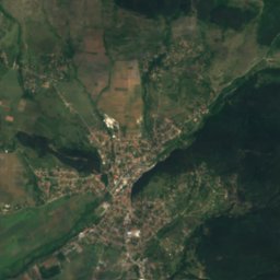
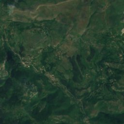
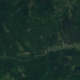
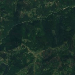
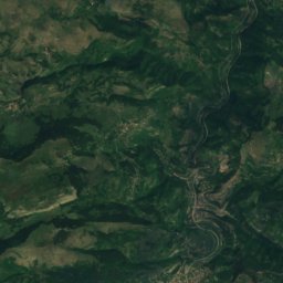
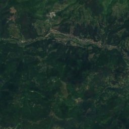
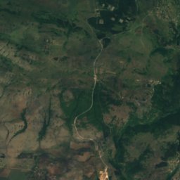
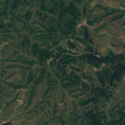
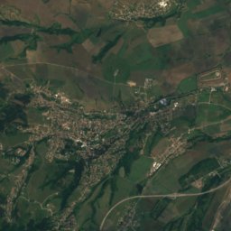
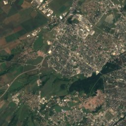
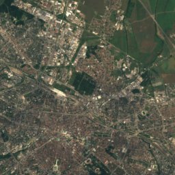
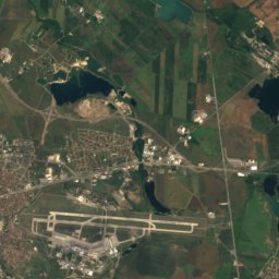
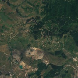
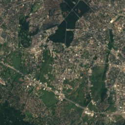
Lyulyak hut, Sofia from above

Nature nearbyAll of Bulgaria
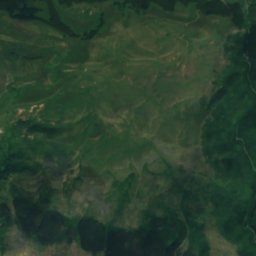
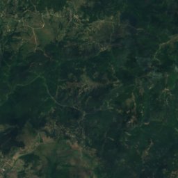
Satellite: Sentinel-2 cloudless 2016 by EOX IT Services GmbH · CC BY 4.0 · Contains modified Copernicus Sentinel data 2016
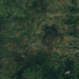
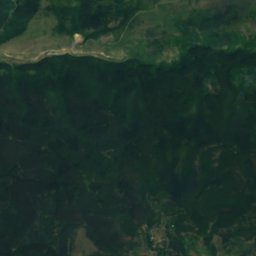
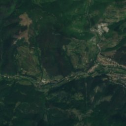
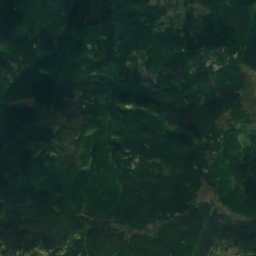
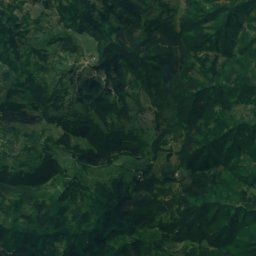
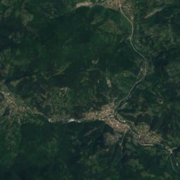
Rodni balkani hutMountain hut12 kmNRodni balkani hut
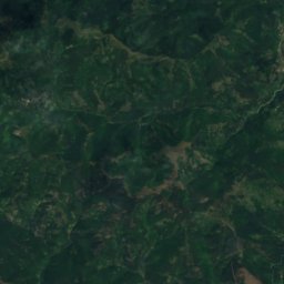
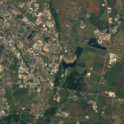
Satellite: Sentinel-2 cloudless 2016 by EOX IT Services GmbH · CC BY 4.0 · Contains modified Copernicus Sentinel data 2016
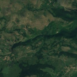
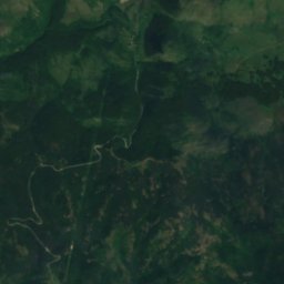
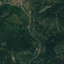
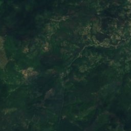
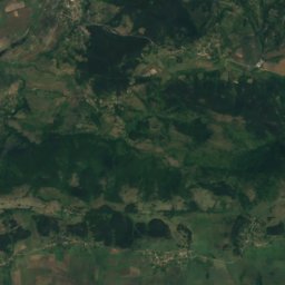
DushnikaCave14 kmNEDushnika
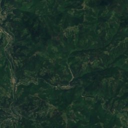
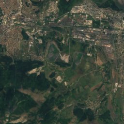
Satellite: Sentinel-2 cloudless 2016 by EOX IT Services GmbH · CC BY 4.0 · Contains modified Copernicus Sentinel data 2016
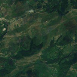
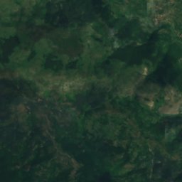
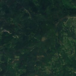
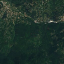
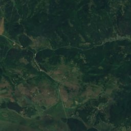
Siromashki ray refugeMountain hut14 kmNSiromashki ray refuge
Photo: Termininja · CC BY-SA 4.0 · Wikimedia CommonsReport this photo · linked, not stored
Dobravishka skaklyaWaterfall15 kmNEDobravishka skaklya
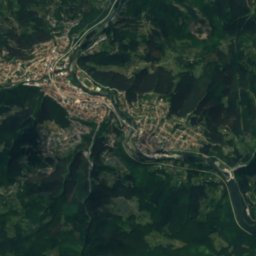
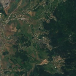
Satellite: Sentinel-2 cloudless 2016 by EOX IT Services GmbH · CC BY 4.0 · Contains modified Copernicus Sentinel data 2016
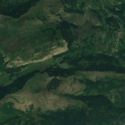
Iskretska RekaRiver17 kmNEIskretska Reka
Photo: Чигот · CC BY-SA 3.0 · Wikimedia CommonsReport this photo · linked, not stored
Lesnovska RiverRiver18 kmSELesnovska River
Summits nearbyMountains of Bulgaria
Photo: Termininja · CC0 · Wikimedia CommonsReport this photo · linked, not stored
Sarbenitsa18 km NE1,482 mJuly 20°Sarbenitsa
Photo: Termininja · CC0 · Wikimedia CommonsReport this photo · linked, not stored
Yavorets25 km NE1,348 mJuly 21°Yavorets
Satellite: Sentinel-2 cloudless 2016 by EOX IT Services GmbH · CC BY 4.0 · Contains modified Copernicus Sentinel data 2016
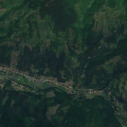
Tseria12 km NE1,234 mJuly 21°Tseria
Photo: Filipov Ivo · CC BY-SA 4.0 · Wikimedia CommonsReport this photo · linked, not stored
Petrovski krast19 km W1,206 mJuly 22°Petrovski krast
Photo: Termininja · CC BY-SA 4.0 · Wikimedia CommonsReport this photo · linked, not stored
Mechi Kamak24 km SW1,077 mJuly 23°Mechi Kamak
Satellite: Sentinel-2 cloudless 2016 by EOX IT Services GmbH · CC BY 4.0 · Contains modified Copernicus Sentinel data 2016
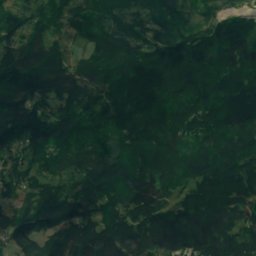
Kosmatitsa7.4 km NE943 mJuly 24°Kosmatitsa
Stay nearby

Towns close by

Dramsha
Photo: Eduard van Ilien · CC BY-SA 4.0 · Wikimedia CommonsReport this photo · linked, not stored

Dramsha

Sofia · 5.1 km NE
15°Oct high
9wet days
61score
Dramsha
Dragovishtitsa
Photo: Spiritia · CC BY-SA 4.0 · Wikimedia CommonsReport this photo · linked, not stored

Dragovishtitsa

Sofia · 6.5 km SE
18°Oct high
9wet days
76score
Dragovishtitsa
Opitsvet
Photo: Spiritia · CC BY-SA 3.0 · Wikimedia CommonsReport this photo · linked, not stored

Opitsvet

Sofia · 6.8 km SW
18°Oct high
9wet days
77score
Opitsvet
Petarch
Photo: Biso · CC BY-SA 3.0 · Wikimedia CommonsReport this photo · linked, not stored

Petarch

Sofia · 7.3 km SW
18°Oct high
9wet days
78score
Petarch
Around here

Dramsha and around

Dramsha
Photo: Eduard van Ilien · CC BY-SA 4.0 · Wikimedia CommonsReport this photo · linked, not stored

Dramsha

Sofia · Bulgaria
Jul–Sepbest months
25°July high
835 maltitude
Dramsha

Nature

Dobravishka skaklya
Photo: Termininja · CC BY-SA 4.0 · Wikimedia CommonsReport this photo · linked, not stored
9.9 km NE

Dobravishka skaklya

Waterfall
Dobravishka skaklya
Satellite: Sentinel-2 cloudless 2016 by EOX IT Services GmbH · CC BY 4.0 · Contains modified Copernicus Sentinel data 2016
8.0 km N

Rodni balkani hut

Mountain hut
Rodni balkani hut
Satellite: Sentinel-2 cloudless 2016 by EOX IT Services GmbH · CC BY 4.0 · Contains modified Copernicus Sentinel data 2016
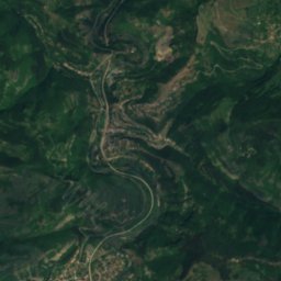
8.5 km N

Dushnika

Cave
Dushnika

Mountains

Kom Peak
Photo: I, Dido3 · CC BY-SA 3.0 · Wikimedia CommonsReport this photo · linked, not stored
29 km NW

Kom Peak

2,016 m · Balkan Mountains
Kom Peak
Satellite: Sentinel-2 cloudless 2016 by EOX IT Services GmbH · CC BY 4.0 · Contains modified Copernicus Sentinel data 2016
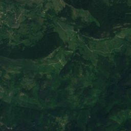
37 km S

Uschite

1,901 m · Vitosha
Uschite
Kamen Del
Photo: Tanasy · CC BY-SA 4.0 · Wikimedia CommonsReport this photo · linked, not stored
36 km S

Kamen Del

1,862 m · Vitosha
Kamen Del

Heritage

Dragoman marsh
Photo: Misastojanovic · CC BY-SA 4.0 · Wikimedia CommonsReport this photo · linked, not stored
11 km W

Dragoman marsh

Ramsar site
Dragoman marsh