Nature
Waters, ice and wild places of Brunei
Lakes, waterfalls, glaciers, national parks and mountain huts, each with its location, its size and the weather of the towns around it.
Lakes3with a page
Waterfalls1with a page
National parks1with a page
Beaches6with a page

Lakes
Lakes of Brunei

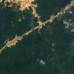
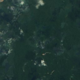
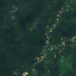
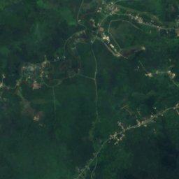
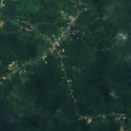
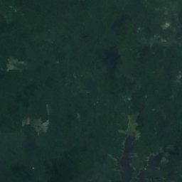
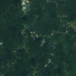
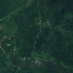
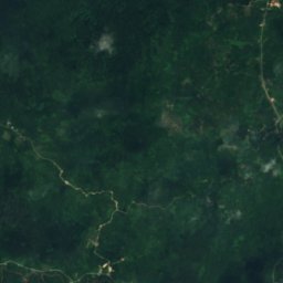
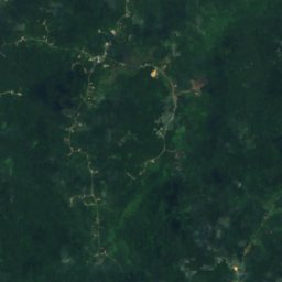
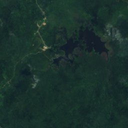
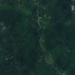
Satellite: Sentinel-2 cloudless 2016 by EOX IT Services GmbH · CC BY 4.0 · Contains modified Copernicus Sentinel data 2016
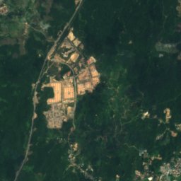
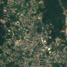
Luagan Merimbun
Lamunin, Tutong
35 m

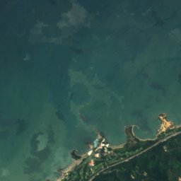
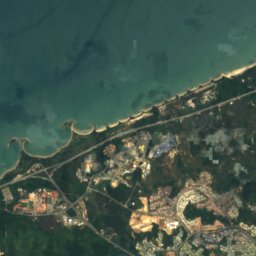
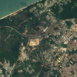
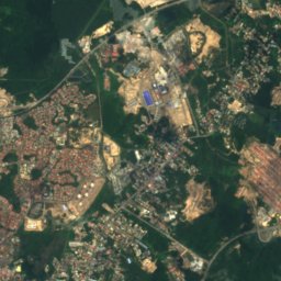
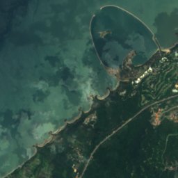
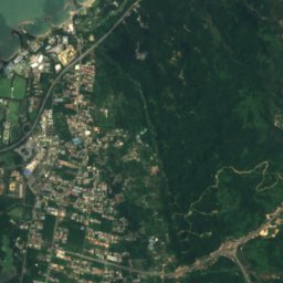
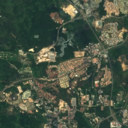
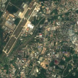
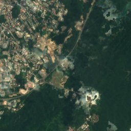
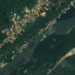
Satellite: Sentinel-2 cloudless 2016 by EOX IT Services GmbH · CC BY 4.0 · Contains modified Copernicus Sentinel data 2016
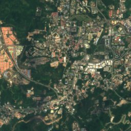
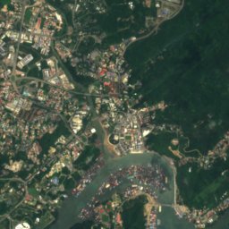
Kampong Ayer
Kampung Pangkalan Gadong, Brunei-Muara District
9 m
Waterfalls
Waterfalls of Brunei
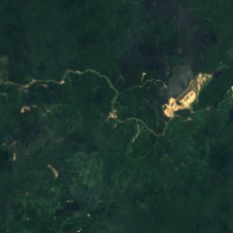
Satellite: Sentinel-2 cloudless 2016 by EOX IT Services GmbH · CC BY 4.0 · Contains modified Copernicus Sentinel data 2016
Teraja Waterfall
Kampung Labi, Belait
National parks
National parks of Brunei
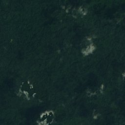
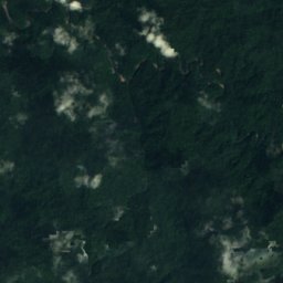
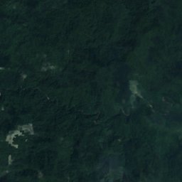
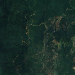
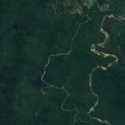
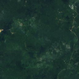
Satellite: Sentinel-2 cloudless 2016 by EOX IT Services GmbH · CC BY 4.0 · Contains modified Copernicus Sentinel data 2016
Ulu Temburong National Park
Bangar, Temburong
550 km²
Beaches
Beaches of Brunei






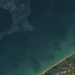



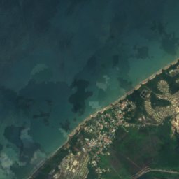
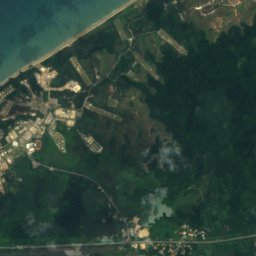


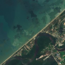
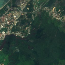
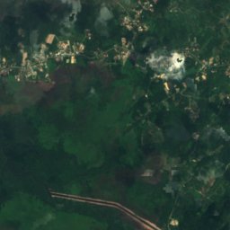
Satellite: Sentinel-2 cloudless 2016 by EOX IT Services GmbH · CC BY 4.0 · Contains modified Copernicus Sentinel data 2016
Penanjong Beach
Kampong Penanjong, Tutong






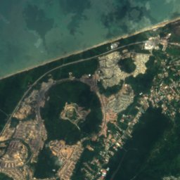
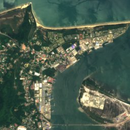


Satellite: Sentinel-2 cloudless 2016 by EOX IT Services GmbH · CC BY 4.0 · Contains modified Copernicus Sentinel data 2016
Muara Spit
Muara, Brunei-Muara District
Islands
Islands of Brunei

Photo: Earth Science and Remote Sensing Unit, Lyndon B. Johnson Space Center · Public domain · Wikimedia CommonsReport this photo · linked, not stored
Berambang Island
Kampong Subok, Brunei-Muara District


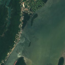

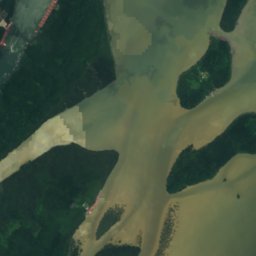
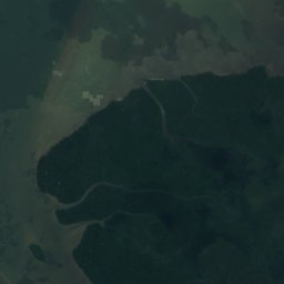
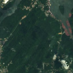
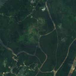
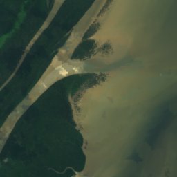
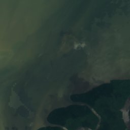
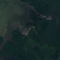
Satellite: Sentinel-2 cloudless 2016 by EOX IT Services GmbH · CC BY 4.0 · Contains modified Copernicus Sentinel data 2016
Pulau Berbunot
Kampong Subok, Brunei-Muara District
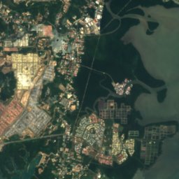
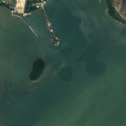
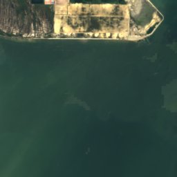
Satellite: Sentinel-2 cloudless 2016 by EOX IT Services GmbH · CC BY 4.0 · Contains modified Copernicus Sentinel data 2016
Pulau Baru Baru
Kampong Subok, Brunei-Muara District
1 m
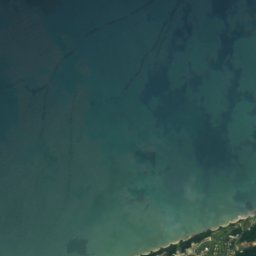
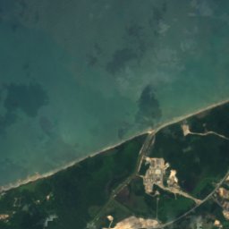
Satellite: Sentinel-2 cloudless 2016 by EOX IT Services GmbH · CC BY 4.0 · Contains modified Copernicus Sentinel data 2016
Pulau Kaingaran
Perumahan Negara Panchor, Brunei-Muara District
All 26 islands
- Barat Bank
- Berambang Island
- Jong Batu
- Muara Bar
- Muara Besar Island
- North Bar Bank
- Pulau Baru Baru
- Pulau Bedukang
- Pulau Bekuku
- Pulau Berbunot
- Pulau Chermin
- Pulau Kaingaran
- Pulau Lilipan
- Pulau Luba
- Pulau Lumut Lunting
- Pulau Pepatan
- Pulau Punyit
- Pulau Ranggu
- Pulau Salar
- Pulau Sekurop
- Pulau Sibungor
- Pulau Silamak
- Pulau Tanjong Maya
- Pulau Umpul Umpul
- South Bar Bank
- Tanjong Pelumpong
Rivers
Rivers of Brunei


Photo: Bernard Spragg. NZ from Christchurch, New Zealand · CC0 · Wikimedia CommonsReport this photo · linked, not stored
Sungai Kianggeh
Kampong Ayer, Brunei-Muara District
9 m


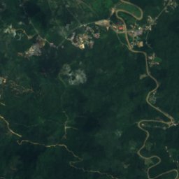
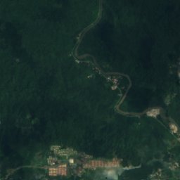
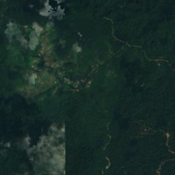
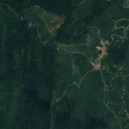
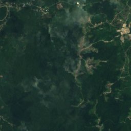
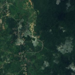
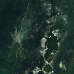


Satellite: Sentinel-2 cloudless 2016 by EOX IT Services GmbH · CC BY 4.0 · Contains modified Copernicus Sentinel data 2016
Sungai Temburong
Bangar, Temburong
21 m