自然
ブルネイの水辺、氷河、原野
湖、滝、氷河、国立公園、山小屋。それぞれの場所、規模、周辺の天気を掲載。
湖3か所(個別ページあり)
滝1か所(個別ページあり)
国立公園1か所(個別ページあり)
ビーチ6か所(個別ページあり)

湖
ブルネイの湖

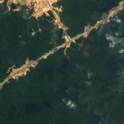
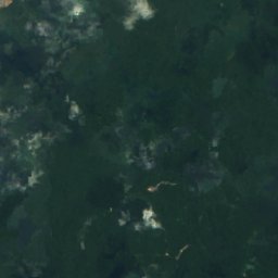
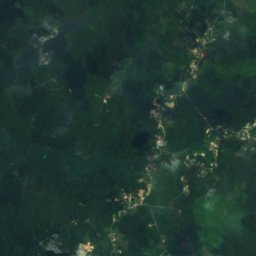
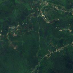
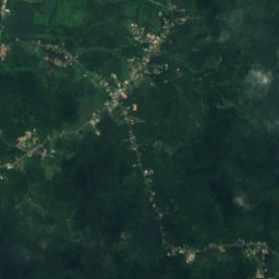
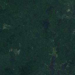
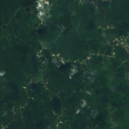
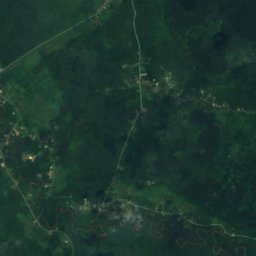
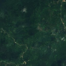
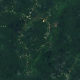
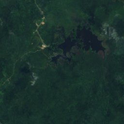
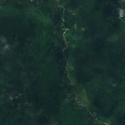
衛星: Sentinel-2 cloudless 2016(EOX IT Services GmbH) · CC BY 4.0 · 改変したCopernicus Sentinelデータ(2016年)を含みます
Luagan Merimbun
Lamunin, Tutong
35 m

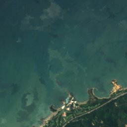
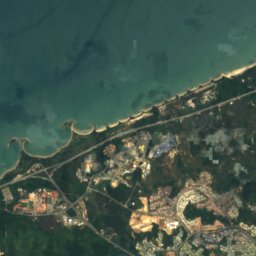
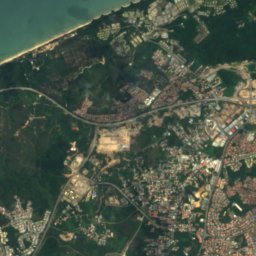
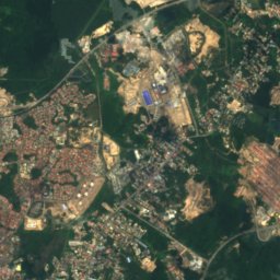
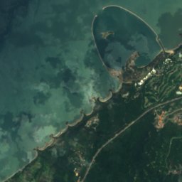
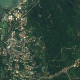
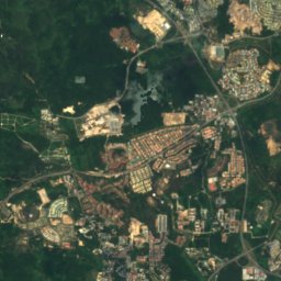
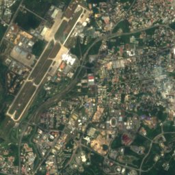
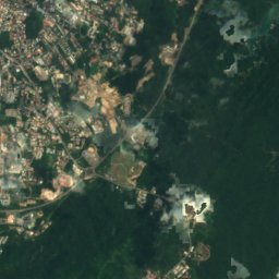
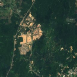
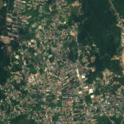
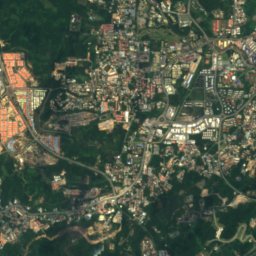
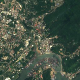
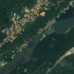
衛星: Sentinel-2 cloudless 2016(EOX IT Services GmbH) · CC BY 4.0 · 改変したCopernicus Sentinelデータ(2016年)を含みます
Kampong Ayer
Kampung Pangkalan Gadong, Brunei-Muara District
9 m
滝
ブルネイの滝
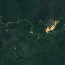
衛星: Sentinel-2 cloudless 2016(EOX IT Services GmbH) · CC BY 4.0 · 改変したCopernicus Sentinelデータ(2016年)を含みます
Teraja Waterfall
Kampung Labi, Belait
国立公園
ブルネイの国立公園
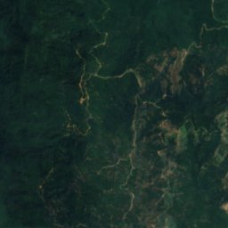
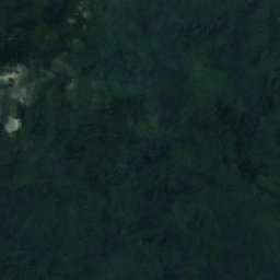
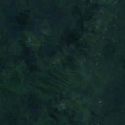
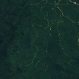
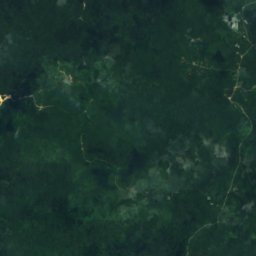
衛星: Sentinel-2 cloudless 2016(EOX IT Services GmbH) · CC BY 4.0 · 改変したCopernicus Sentinelデータ(2016年)を含みます
ウルテンブロン国立公園
Bangar, Temburong
550 km²
ビーチ
ブルネイのビーチ






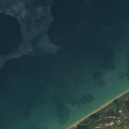



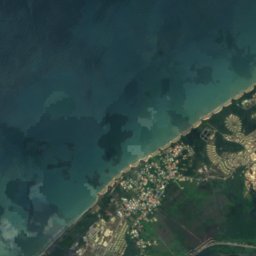
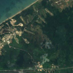


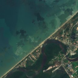
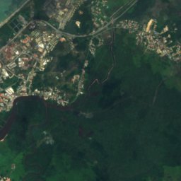
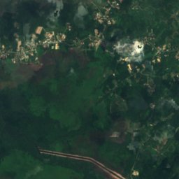
衛星: Sentinel-2 cloudless 2016(EOX IT Services GmbH) · CC BY 4.0 · 改変したCopernicus Sentinelデータ(2016年)を含みます
Penanjong Beach
Kampong Penanjong, Tutong







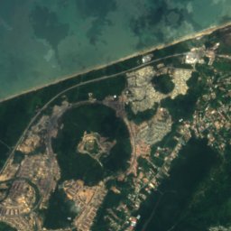
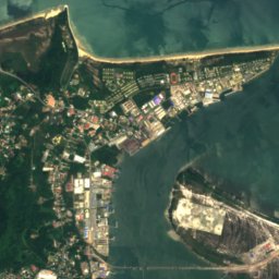
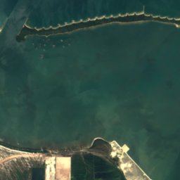


衛星: Sentinel-2 cloudless 2016(EOX IT Services GmbH) · CC BY 4.0 · 改変したCopernicus Sentinelデータ(2016年)を含みます
Muara Spit
Muara, Brunei-Muara District
島
ブルネイの島

写真: Earth Science and Remote Sensing Unit, Lyndon B. Johnson Space Center · Public domain · Wikimedia Commonsこの写真を報告 · リンクのみ、保存なし
Berambang Island
Kampong Subok, Brunei-Muara District


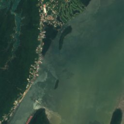
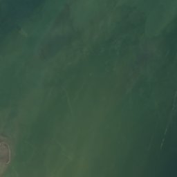

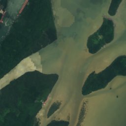
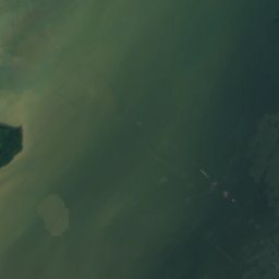
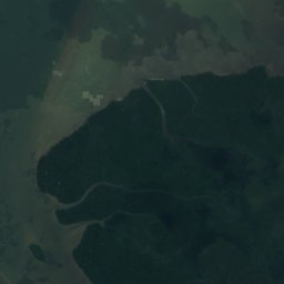
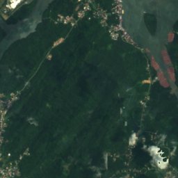
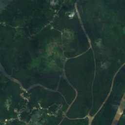
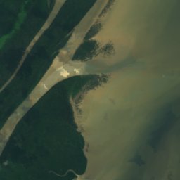
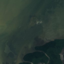
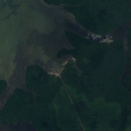
衛星: Sentinel-2 cloudless 2016(EOX IT Services GmbH) · CC BY 4.0 · 改変したCopernicus Sentinelデータ(2016年)を含みます
Pulau Berbunot
Kampong Subok, Brunei-Muara District
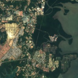
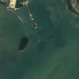
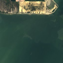
衛星: Sentinel-2 cloudless 2016(EOX IT Services GmbH) · CC BY 4.0 · 改変したCopernicus Sentinelデータ(2016年)を含みます
Pulau Baru Baru
Kampong Subok, Brunei-Muara District
1 m
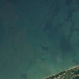
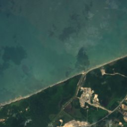
衛星: Sentinel-2 cloudless 2016(EOX IT Services GmbH) · CC BY 4.0 · 改変したCopernicus Sentinelデータ(2016年)を含みます
Pulau Kaingaran
Perumahan Negara Panchor, Brunei-Muara District
全リスト:島26か所
- Barat Bank
- Berambang Island
- Jong Batu
- Muara Bar
- Muara Besar Island
- North Bar Bank
- Pulau Baru Baru
- Pulau Bedukang
- Pulau Bekuku
- Pulau Berbunot
- Pulau Chermin
- Pulau Kaingaran
- Pulau Lilipan
- Pulau Luba
- Pulau Lumut Lunting
- Pulau Pepatan
- Pulau Punyit
- Pulau Ranggu
- Pulau Salar
- Pulau Sekurop
- Pulau Sibungor
- Pulau Silamak
- Pulau Tanjong Maya
- Pulau Umpul Umpul
- South Bar Bank
- Tanjong Pelumpong
川
ブルネイの川


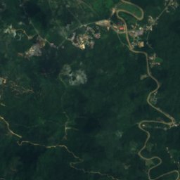
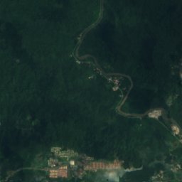
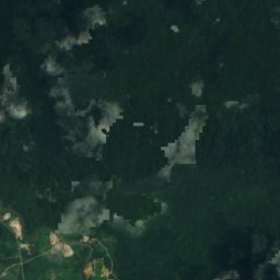
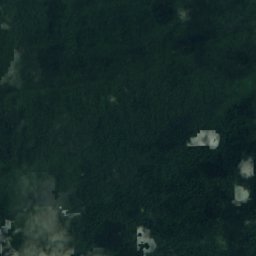
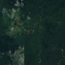
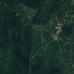
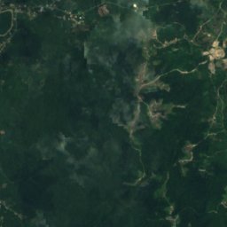
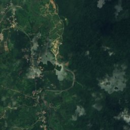
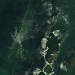
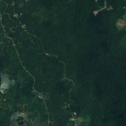
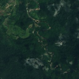


衛星: Sentinel-2 cloudless 2016(EOX IT Services GmbH) · CC BY 4.0 · 改変したCopernicus Sentinelデータ(2016年)を含みます
Sungai Temburong
Bangar, Temburong
21 m