Nature
Waters, ice and wild places of Bahamas
Lakes, waterfalls, glaciers, national parks and mountain huts, each with its location, its size and the weather of the towns around it.
Lakes7with a page
National parks6with a page
Beaches5with a page
Islands158with a page

Photo: Rüdiger Stehn from Kiel, Deutschland · CC BY-SA 2.0 · Wikimedia CommonsReport this photo · linked, not stored
Lakes
Lakes of Bahamas

Photo: Rüdiger Stehn from Kiel, Deutschland · CC BY-SA 2.0 · Wikimedia CommonsReport this photo · linked, not stored
Lake Killarney
Nassau, New Providence
7.7 km²

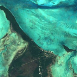
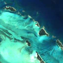

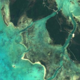
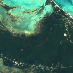
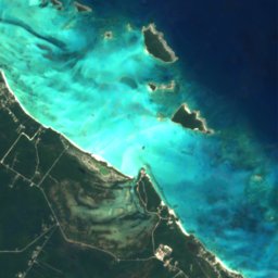
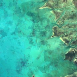
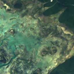
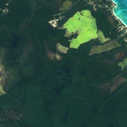
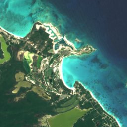
Satellite: Sentinel-2 cloudless 2016 by EOX IT Services GmbH · CC BY 4.0 · Contains modified Copernicus Sentinel data 2016
Big Pond Lake
George Town, Exuma
0.7 km²
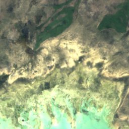
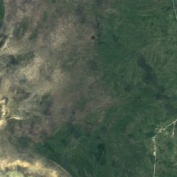
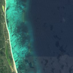

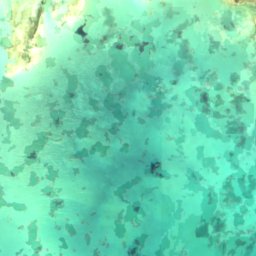
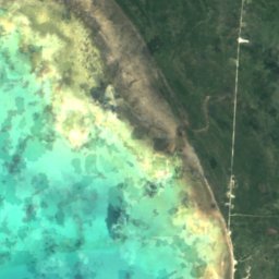
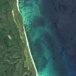

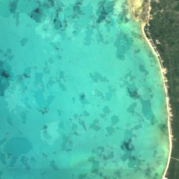
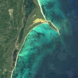

Satellite: Sentinel-2 cloudless 2016 by EOX IT Services GmbH · CC BY 4.0 · Contains modified Copernicus Sentinel data 2016
Big Pond
Snug Corner, Acklins
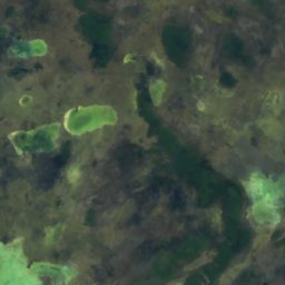
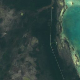
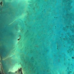
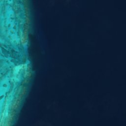
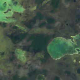
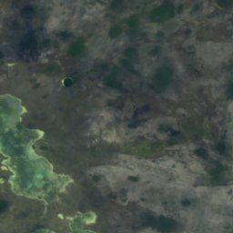
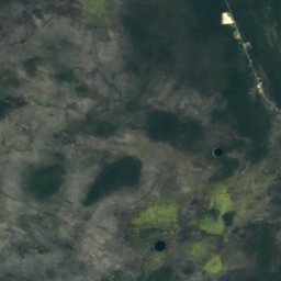
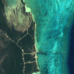
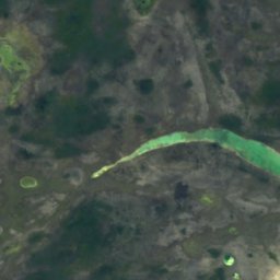
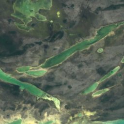
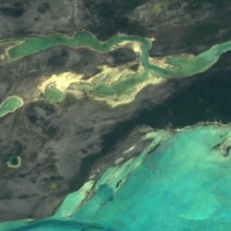
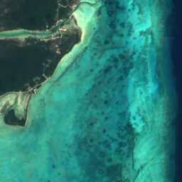

Satellite: Sentinel-2 cloudless 2016 by EOX IT Services GmbH · CC BY 4.0 · Contains modified Copernicus Sentinel data 2016
Flamingo Pond
Andros Town, North Andros
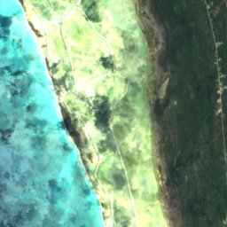
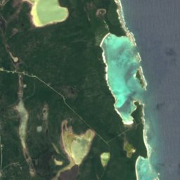
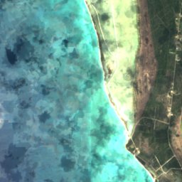
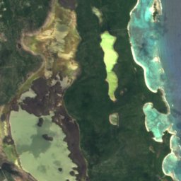
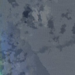
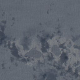
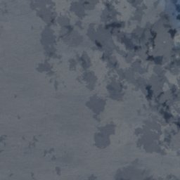
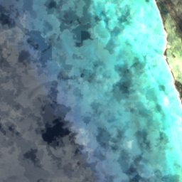
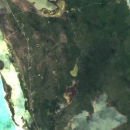
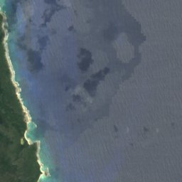
Satellite: Sentinel-2 cloudless 2016 by EOX IT Services GmbH · CC BY 4.0 · Contains modified Copernicus Sentinel data 2016
Great Lake, Long Island
Clarence Town, Long Island
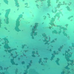
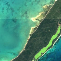
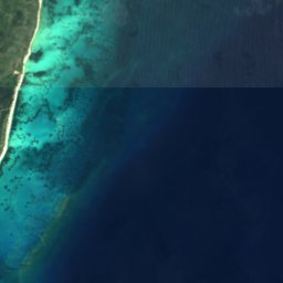

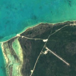
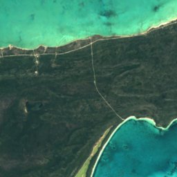
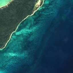


Satellite: Sentinel-2 cloudless 2016 by EOX IT Services GmbH · CC BY 4.0 · Contains modified Copernicus Sentinel data 2016
Salt Pond, Acklins
Snug Corner, Acklins
National parks
National parks of Bahamas


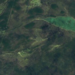
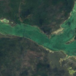
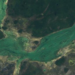
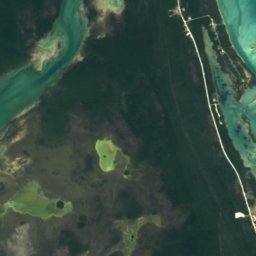
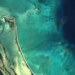
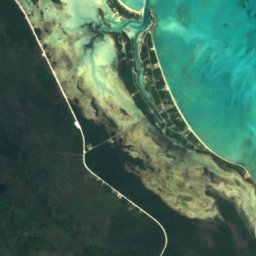
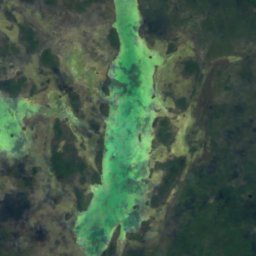
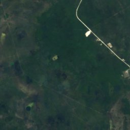
Satellite: Sentinel-2 cloudless 2016 by EOX IT Services GmbH · CC BY 4.0 · Contains modified Copernicus Sentinel data 2016
Blue Holes National Park
Andros Town, North Andros



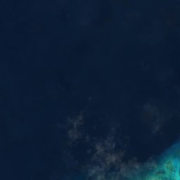
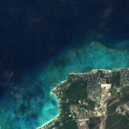


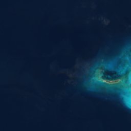
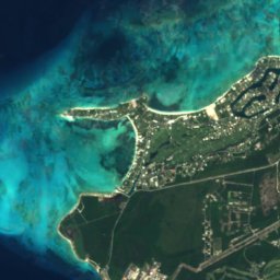
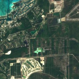



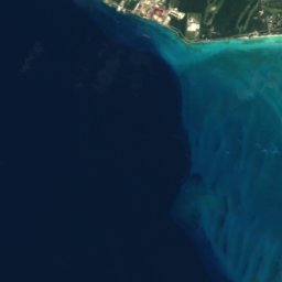
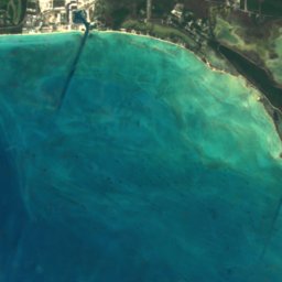
Satellite: Sentinel-2 cloudless 2016 by EOX IT Services GmbH · CC BY 4.0 · Contains modified Copernicus Sentinel data 2016
Clifton Heritage National Park
Nassau, New Providence
Beaches
Beaches of Bahamas

Photo: Rüdiger Stehn from Kiel, Deutschland · CC BY-SA 2.0 · Wikimedia CommonsReport this photo · linked, not stored
Cable Beach
Nassau, New Providence
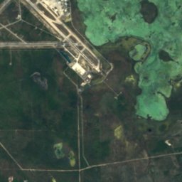
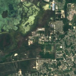
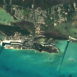
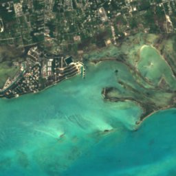

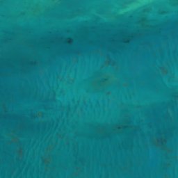
Satellite: Sentinel-2 cloudless 2016 by EOX IT Services GmbH · CC BY 4.0 · Contains modified Copernicus Sentinel data 2016
Adelaide
Nassau, New Providence


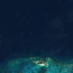
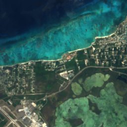
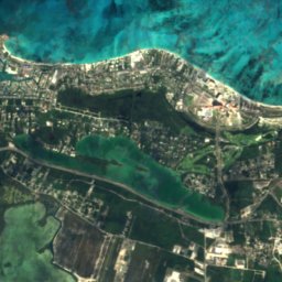
Satellite: Sentinel-2 cloudless 2016 by EOX IT Services GmbH · CC BY 4.0 · Contains modified Copernicus Sentinel data 2016
Love Beach
Nassau, New Providence
8 m
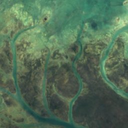
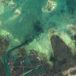
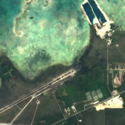
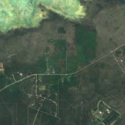
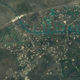
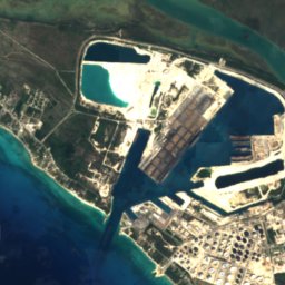
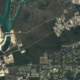
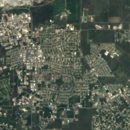
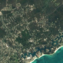
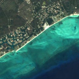
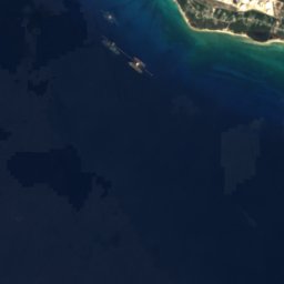
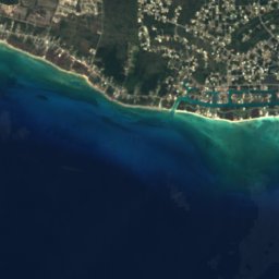
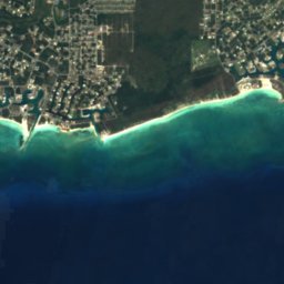
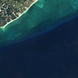
Satellite: Sentinel-2 cloudless 2016 by EOX IT Services GmbH · CC BY 4.0 · Contains modified Copernicus Sentinel data 2016
Silver Point Beach
Lucaya, Freeport
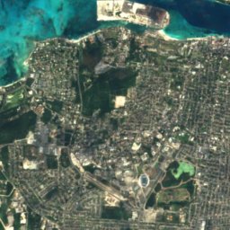
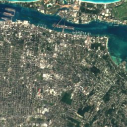
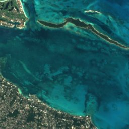
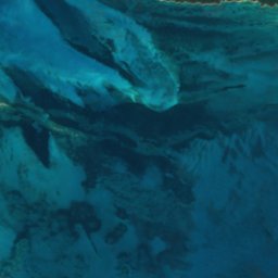
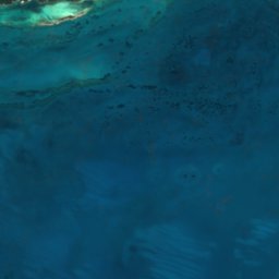
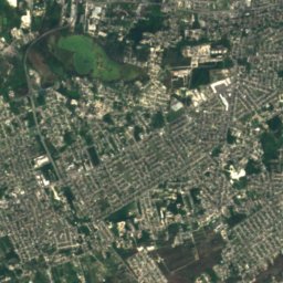
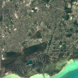
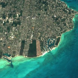
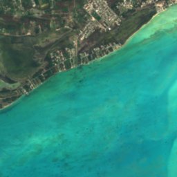
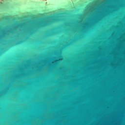
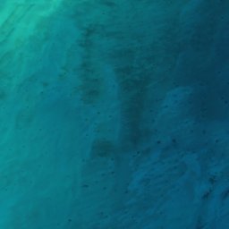
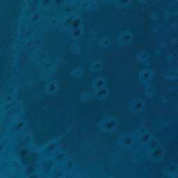
Satellite: Sentinel-2 cloudless 2016 by EOX IT Services GmbH · CC BY 4.0 · Contains modified Copernicus Sentinel data 2016
Yamacraw Beach
Nassau, New Providence
Islands
Islands of Bahamas


Photo: NASA Johnson Space Center · Public domain · Wikimedia CommonsReport this photo · linked, not stored
Acklins
Snug Corner, Acklins
5 m


Photo: User: Jamaicajoe at wikivoyage shared · CC BY-SA 3.0 · Wikimedia CommonsReport this photo · linked, not stored
Paradise Island
Nassau, New Providence

Photo: Rüdiger Stehn from Kiel, Deutschland · CC BY-SA 2.0 · Wikimedia CommonsReport this photo · linked, not stored
Green Turtle Cay
Treasure Cay, North Abaco
8 m


Photo: Rüdiger Stehn from Kiel, Deutschland · CC BY-SA 2.0 · Wikimedia CommonsReport this photo · linked, not stored
Elbow Cay
Marsh Harbour, Central Abaco

Photo: User: Jamaicajoe at wikivoyage shared · CC BY-SA 3.0 · Wikimedia CommonsReport this photo · linked, not stored
Great Abaco
Marsh Harbour, Central Abaco
All 158 islands
- Acklins
- Allon Cay
- Ambergris Cay, North Abaco
- Angel Cays
- Anna Cay
- Arawak Cay
- Archers Cay
- Athol Island
- August Cay
- Big Crab Cay
- Big Cross Cay
- Big Egg Island
- Big Harbour Cay
- Big Hog Cay
- Big Jerry Cay
- Big Joe Downer Cay
- Big Lake Cay
- Big Pigeon Cay
- Big Thrift Harbour Cay
- Big Whale Cay
- Black Rock
- Blue Lagoon Island
- Bob Cay
- Bonefish Cay
- Booby Island
- Bowe Cay
- Bridges Cay
- Burnside Cay
- Cashs Cay
- Cay With Low Fall
- Channel Cays
- Cistern Cay, Central Abaco
- Clem Cay
- Coakley Cay
- Cornish Cay
- Crab Cay, Exuma
- Current Island
- Davy Cay
- Dickies Cay
- Dilly Cay
- Discovery Island
- Dry Cay
- Duck Cays
- Dunc Cays
- Egg Island
- Egg Reef
- Elbow Cay
- Elizabeth Island
- Fiddle Cay
- Fish Hawk Cay
- Fishing Cays
- Folw Cay
- Foots Cay
- Garden Cay
- Glass Cay
- Goat Cay, Cat Island
- Goole Cay
- Great Abaco
- Great Bersus Cay
- Great Exuma
- Great Exuma Island
- Great Guana Cay
- Green Turtle Cay
- Griffins Cay
- Grunt Cay
- Guana Cay, Exuma
- Gun Cay
- Harbour Island
- Hills Cay
- Hog Cay, Exuma
- Indian Cay
- Iron Cay
- Jewfish Cay
- Joe Downer Cays
- Kits Cay
- Little Abaco
- Little Abaco Island
- Little Bersus Cay
- Little Crab Cay
- Little Exuma
- Little Exuma Island
- Little Joe Downer Cay
- Little Meeks Patch Island
- Little San Salvador Island
- Lockhart Cay
- Long Cay, East Grand Bahama
- Long Cay, New Providence
- Long Island
- Lovely Bay Cays
- Lubbers Quarters
- Lynyard Cay
- Man Island
- Man-O-War Cay
- Mangrove Cay, North Abaco
- Meeks Patch Island
- Moriah Harbour Cay
- Mouth of Harbour Cay
- New Providence
- Noah Bethel Cays
- Noname Cay
- North Andros Island
- North Bimini
- North Cat Cay
- North Cay, New Providence
- Northern Eleuthera Island
- Nun Jack Cay
- Outer Point Cay
- Paradise Island
- Parrot Cays
- Pear Cay
- Pensacola Cays
- Pierre Reef
- Pierres Island
- Pigeon Cay, Bimini
- Pigeon Cays
- Pimlico Islands
- Pinder Point Shoal
- Plum Cays
- Potters Cay
- Powell Cay
- Rainbow Cay
- Randall's Cay
- Rock Harbour Cays
- Rose Island
- Royal Island
- Russel Island
- Salt Cay, New Providence
- Salt Pond Cay
- Sand Bank Cays
- Sanders Island
- Scotland Cay
- Shoe Hole Road
- Silver Cay
- Snake Cay
- Snapper Cay
- South Bimini
- South Cat Cay
- South Mangrove
- Southwest Reef, Harbour Island
- Southwest Reef, New Providence
- Spanish Cay
- Spanish Wells
- St. George's Cay
- St. George's Island
- Stocking Island
- Strachan Cay
- Sugar Loaf Cay
- Sweeting Cay
- Tee Cay
- The Marls
- Tilloo Cay
- Umbrella Cay
- Upper Channel Cay
- Victory Cays
- Water Cay, East Grand Bahama
- Willis Cay
- Wood Cay, West Grand Bahama
- Woolen Dean Cay
Caves
Caves of Bahamas
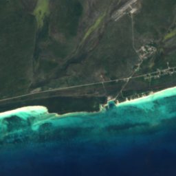
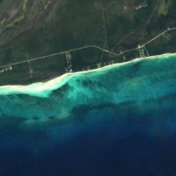
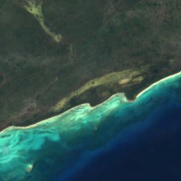
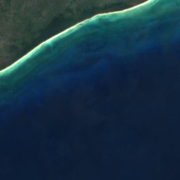



Satellite: Sentinel-2 cloudless 2016 by EOX IT Services GmbH · CC BY 4.0 · Contains modified Copernicus Sentinel data 2016
Lucayan Caverns
Lucaya, Freeport
Rivers
Rivers of Bahamas

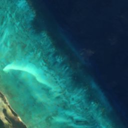

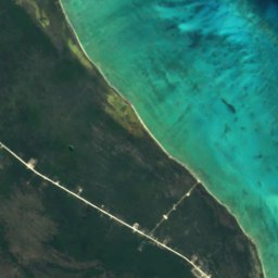
Satellite: Sentinel-2 cloudless 2016 by EOX IT Services GmbH · CC BY 4.0 · Contains modified Copernicus Sentinel data 2016
Sandy Creek
Andros Town, North Andros
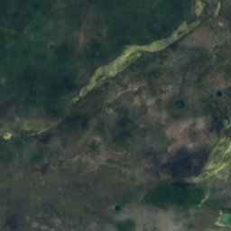
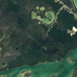
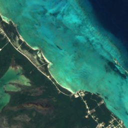

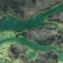
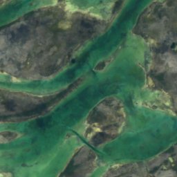
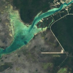
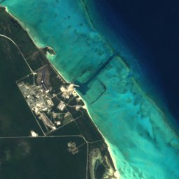
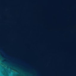
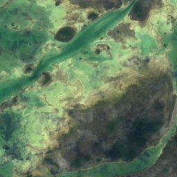
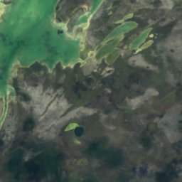
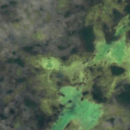
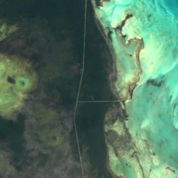
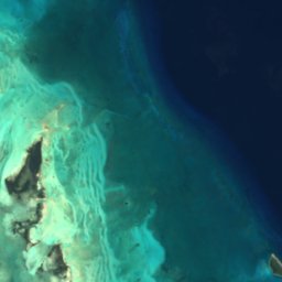
Satellite: Sentinel-2 cloudless 2016 by EOX IT Services GmbH · CC BY 4.0 · Contains modified Copernicus Sentinel data 2016
Somerset Creek
Andros Town, North Andros
Satellite: Sentinel-2 cloudless 2016 by EOX IT Services GmbH · CC BY 4.0 · Contains modified Copernicus Sentinel data 2016
Cargill Creek
Andros Town, North Andros
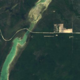
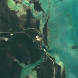
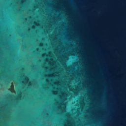




Satellite: Sentinel-2 cloudless 2016 by EOX IT Services GmbH · CC BY 4.0 · Contains modified Copernicus Sentinel data 2016
Staniard Creek
Andros Town, North Andros