Alam
Perairan, gletser, dan alam liar Bahama
Danau, air terjun, gletser, taman nasional, dan pondok gunung, masing-masing dengan lokasi, ukuran, dan cuaca di sekitarnya.
Danau7masing-masing dengan halamannya
Taman nasional6masing-masing dengan halamannya
Pantai5masing-masing dengan halamannya
Pulau158masing-masing dengan halamannya

Foto: Rüdiger Stehn from Kiel, Deutschland · CC BY-SA 2.0 · Wikimedia CommonsLaporkan foto ini · ditautkan, tidak disimpan
Danau
Danau di Bahama

Foto: Rüdiger Stehn from Kiel, Deutschland · CC BY-SA 2.0 · Wikimedia CommonsLaporkan foto ini · ditautkan, tidak disimpan
Lake Killarney
Nassau, New Providence
7,7 km²

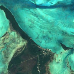
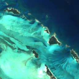

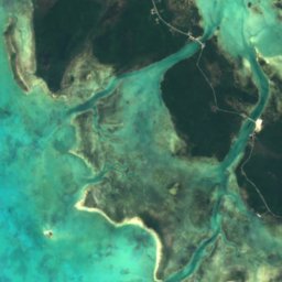
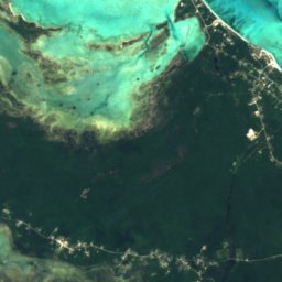
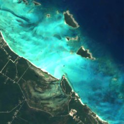
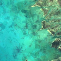
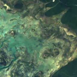
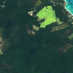
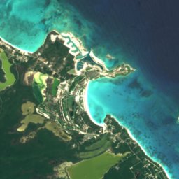
Satelit: Sentinel-2 cloudless 2016 dari EOX IT Services GmbH · CC BY 4.0 · Berisi data Copernicus Sentinel (2016) yang telah dimodifikasi
Big Pond Lake
George Town, Exuma
0,7 km²
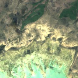
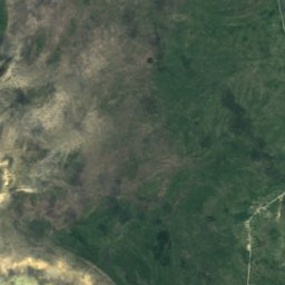
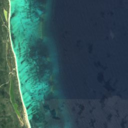


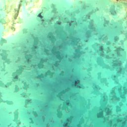
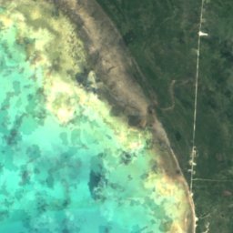
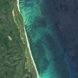


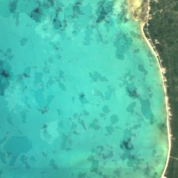
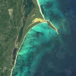


Satelit: Sentinel-2 cloudless 2016 dari EOX IT Services GmbH · CC BY 4.0 · Berisi data Copernicus Sentinel (2016) yang telah dimodifikasi
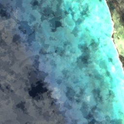
Big Pond
Snug Corner, Acklins
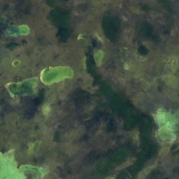
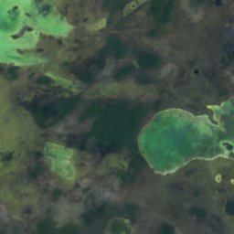
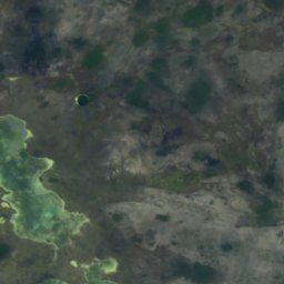
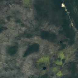
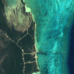
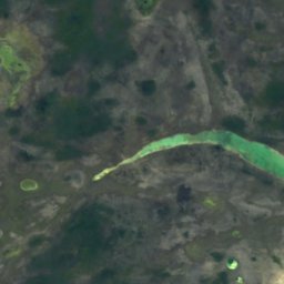
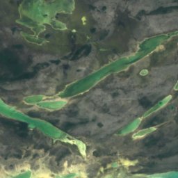
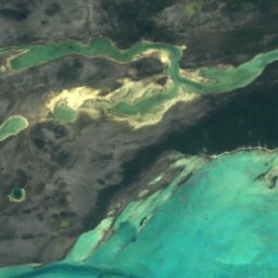
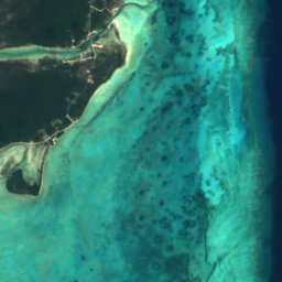

Satelit: Sentinel-2 cloudless 2016 dari EOX IT Services GmbH · CC BY 4.0 · Berisi data Copernicus Sentinel (2016) yang telah dimodifikasi
Flamingo Pond
Andros Town, North Andros
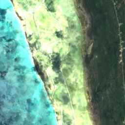
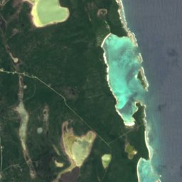
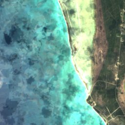
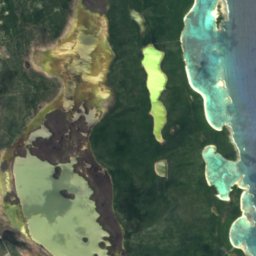
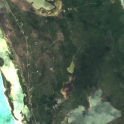
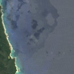
Satelit: Sentinel-2 cloudless 2016 dari EOX IT Services GmbH · CC BY 4.0 · Berisi data Copernicus Sentinel (2016) yang telah dimodifikasi
Great Lake, Long Island
Clarence Town, Long Island
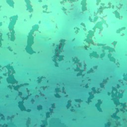
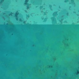
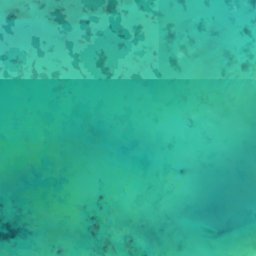
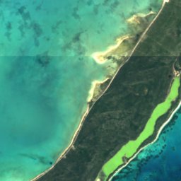
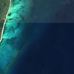

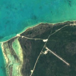
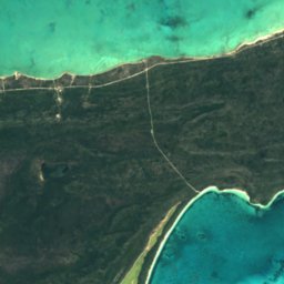
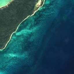


Satelit: Sentinel-2 cloudless 2016 dari EOX IT Services GmbH · CC BY 4.0 · Berisi data Copernicus Sentinel (2016) yang telah dimodifikasi
Salt Pond, Acklins
Snug Corner, Acklins
Taman nasional
Taman nasional di Bahama


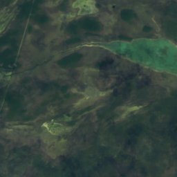
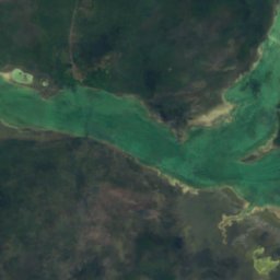
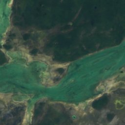
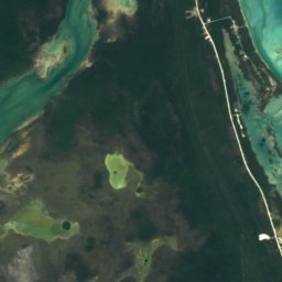
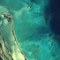
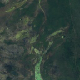
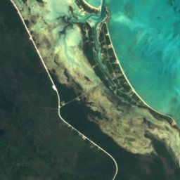
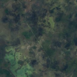
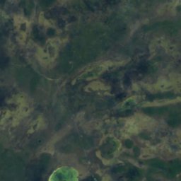
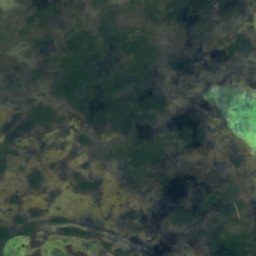
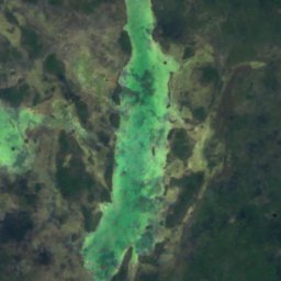
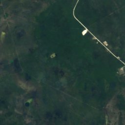
Satelit: Sentinel-2 cloudless 2016 dari EOX IT Services GmbH · CC BY 4.0 · Berisi data Copernicus Sentinel (2016) yang telah dimodifikasi
Blue Holes National Park
Andros Town, North Andros




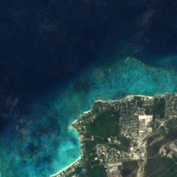


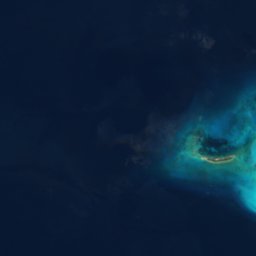
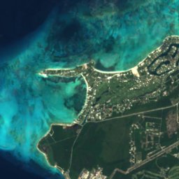
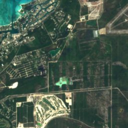



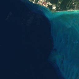
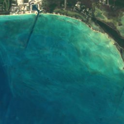
Satelit: Sentinel-2 cloudless 2016 dari EOX IT Services GmbH · CC BY 4.0 · Berisi data Copernicus Sentinel (2016) yang telah dimodifikasi
Clifton Heritage National Park
Nassau, New Providence
Pantai
Pantai di Bahama

Foto: Rüdiger Stehn from Kiel, Deutschland · CC BY-SA 2.0 · Wikimedia CommonsLaporkan foto ini · ditautkan, tidak disimpan
Cable Beach
Nassau, New Providence
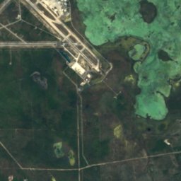
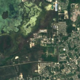
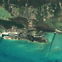
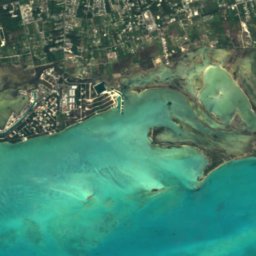


Satelit: Sentinel-2 cloudless 2016 dari EOX IT Services GmbH · CC BY 4.0 · Berisi data Copernicus Sentinel (2016) yang telah dimodifikasi
Adelaide
Nassau, New Providence



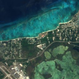
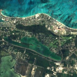
Satelit: Sentinel-2 cloudless 2016 dari EOX IT Services GmbH · CC BY 4.0 · Berisi data Copernicus Sentinel (2016) yang telah dimodifikasi
Love Beach
Nassau, New Providence
8 m
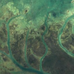
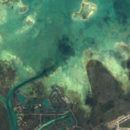
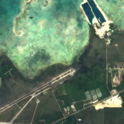
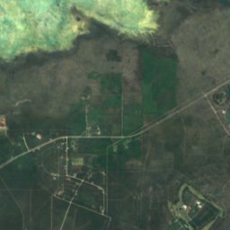
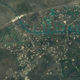
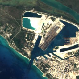
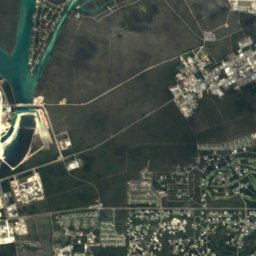
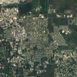
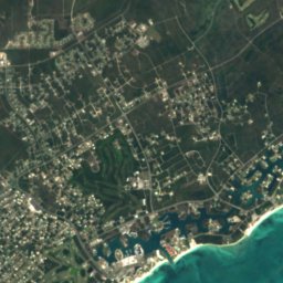
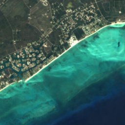
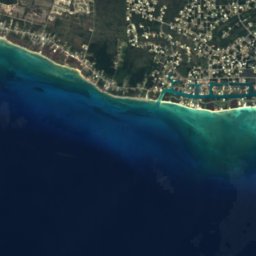
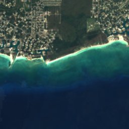
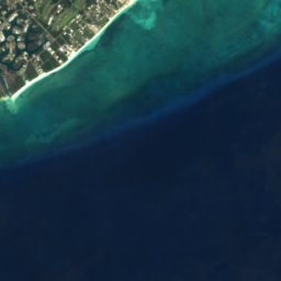
Satelit: Sentinel-2 cloudless 2016 dari EOX IT Services GmbH · CC BY 4.0 · Berisi data Copernicus Sentinel (2016) yang telah dimodifikasi
Silver Point Beach
Lucaya, Freeport
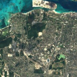
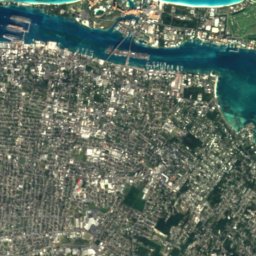
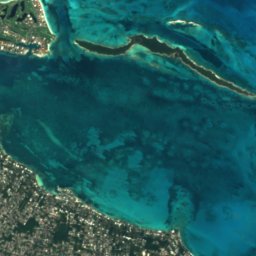
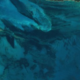
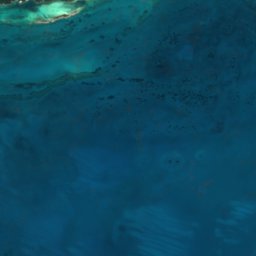
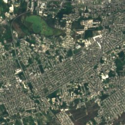
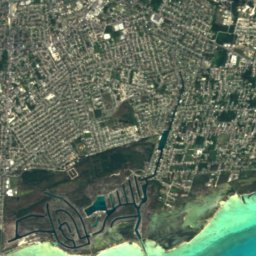
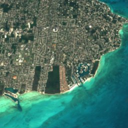
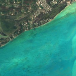

Satelit: Sentinel-2 cloudless 2016 dari EOX IT Services GmbH · CC BY 4.0 · Berisi data Copernicus Sentinel (2016) yang telah dimodifikasi
Yamacraw Beach
Nassau, New Providence
Pulau
Pulau di Bahama

Foto: Ton Engwirda · CC BY-SA 3.0 nl · Wikimedia CommonsLaporkan foto ini · ditautkan, tidak disimpan
Long Island
Clarence Town, Long Island

Foto: NASA Johnson Space Center · Public domain · Wikimedia CommonsLaporkan foto ini · ditautkan, tidak disimpan
Acklins
Snug Corner, Acklins
5 m


Foto: User: Jamaicajoe at wikivoyage shared · CC BY-SA 3.0 · Wikimedia CommonsLaporkan foto ini · ditautkan, tidak disimpan
Paradise Island
Nassau, New Providence

Foto: Rüdiger Stehn from Kiel, Deutschland · CC BY-SA 2.0 · Wikimedia CommonsLaporkan foto ini · ditautkan, tidak disimpan
Green Turtle Cay
Treasure Cay, North Abaco
8 m

Foto: User:Njackson7 · CC BY-SA 3.0 · Wikimedia CommonsLaporkan foto ini · ditautkan, tidak disimpan
North Andros Island
Andros Town, North Andros


Foto: Rüdiger Stehn from Kiel, Deutschland · CC BY-SA 2.0 · Wikimedia CommonsLaporkan foto ini · ditautkan, tidak disimpan
Elbow Cay
Marsh Harbour, Central Abaco

Foto: User: Jamaicajoe at wikivoyage shared · CC BY-SA 3.0 · Wikimedia CommonsLaporkan foto ini · ditautkan, tidak disimpan
Great Abaco
Marsh Harbour, Central Abaco
Daftar lengkap: Pulau (158)
- Acklins
- Allon Cay
- Ambergris Cay, North Abaco
- Angel Cays
- Anna Cay
- Arawak Cay
- Archers Cay
- Athol Island
- August Cay
- Big Crab Cay
- Big Cross Cay
- Big Egg Island
- Big Harbour Cay
- Big Hog Cay
- Big Jerry Cay
- Big Joe Downer Cay
- Big Lake Cay
- Big Pigeon Cay
- Big Thrift Harbour Cay
- Big Whale Cay
- Black Rock
- Blue Lagoon Island
- Bob Cay
- Bonefish Cay
- Booby Island
- Bowe Cay
- Bridges Cay
- Burnside Cay
- Cashs Cay
- Cay With Low Fall
- Channel Cays
- Cistern Cay, Central Abaco
- Clem Cay
- Coakley Cay
- Cornish Cay
- Crab Cay, Exuma
- Current Island
- Davy Cay
- Dickies Cay
- Dilly Cay
- Discovery Island
- Dry Cay
- Duck Cays
- Dunc Cays
- Egg Island
- Egg Reef
- Elbow Cay
- Elizabeth Island
- Fiddle Cay
- Fish Hawk Cay
- Fishing Cays
- Folw Cay
- Foots Cay
- Garden Cay
- Glass Cay
- Goat Cay, Cat Island
- Goole Cay
- Great Abaco
- Great Bersus Cay
- Great Exuma
- Great Exuma Island
- Great Guana Cay
- Green Turtle Cay
- Griffins Cay
- Grunt Cay
- Guana Cay, Exuma
- Gun Cay
- Harbour Island
- Hills Cay
- Hog Cay, Exuma
- Indian Cay
- Iron Cay
- Jewfish Cay
- Joe Downer Cays
- Kits Cay
- Little Abaco
- Little Abaco Island
- Little Bersus Cay
- Little Crab Cay
- Little Exuma
- Little Exuma Island
- Little Joe Downer Cay
- Little Meeks Patch Island
- Little San Salvador Island
- Lockhart Cay
- Long Cay, East Grand Bahama
- Long Cay, New Providence
- Long Island
- Lovely Bay Cays
- Lubbers Quarters
- Lynyard Cay
- Man Island
- Man-O-War Cay
- Mangrove Cay, North Abaco
- Meeks Patch Island
- Moriah Harbour Cay
- Mouth of Harbour Cay
- New Providence
- Noah Bethel Cays
- Noname Cay
- North Andros Island
- North Bimini
- North Cat Cay
- North Cay, New Providence
- Northern Eleuthera Island
- Nun Jack Cay
- Outer Point Cay
- Paradise Island
- Parrot Cays
- Pear Cay
- Pensacola Cays
- Pierre Reef
- Pierres Island
- Pigeon Cay, Bimini
- Pigeon Cays
- Pimlico Islands
- Pinder Point Shoal
- Plum Cays
- Potters Cay
- Powell Cay
- Rainbow Cay
- Randall's Cay
- Rock Harbour Cays
- Rose Island
- Royal Island
- Russel Island
- Salt Cay, New Providence
- Salt Pond Cay
- Sand Bank Cays
- Sanders Island
- Scotland Cay
- Shoe Hole Road
- Silver Cay
- Snake Cay
- Snapper Cay
- South Bimini
- South Cat Cay
- South Mangrove
- Southwest Reef, Harbour Island
- Southwest Reef, New Providence
- Spanish Cay
- Spanish Wells
- St. George's Cay
- St. George's Island
- Stocking Island
- Strachan Cay
- Sugar Loaf Cay
- Sweeting Cay
- Tee Cay
- The Marls
- Tilloo Cay
- Umbrella Cay
- Upper Channel Cay
- Victory Cays
- Water Cay, East Grand Bahama
- Willis Cay
- Wood Cay, West Grand Bahama
- Woolen Dean Cay
Gua
Gua di Bahama
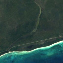
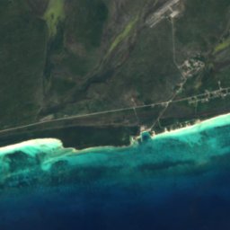
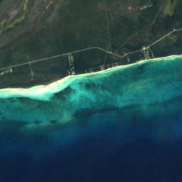
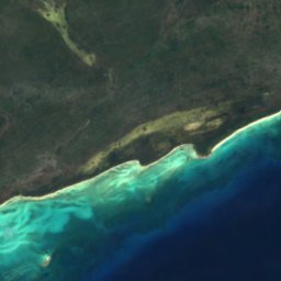
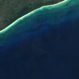



Satelit: Sentinel-2 cloudless 2016 dari EOX IT Services GmbH · CC BY 4.0 · Berisi data Copernicus Sentinel (2016) yang telah dimodifikasi
Lucayan Caverns
Lucaya, Freeport
Sungai
Sungai di Bahama

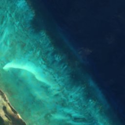

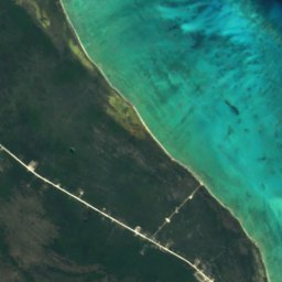
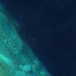
Satelit: Sentinel-2 cloudless 2016 dari EOX IT Services GmbH · CC BY 4.0 · Berisi data Copernicus Sentinel (2016) yang telah dimodifikasi
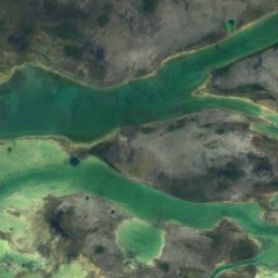
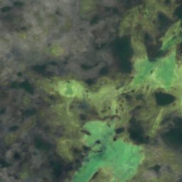
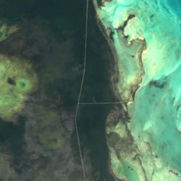
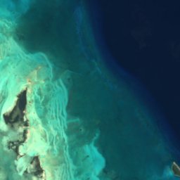
Sandy Creek
Andros Town, North Andros
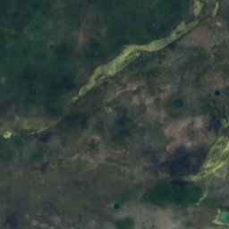
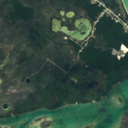
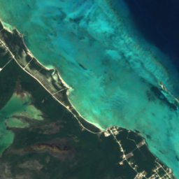

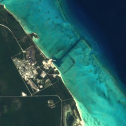
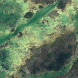
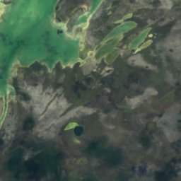
Satelit: Sentinel-2 cloudless 2016 dari EOX IT Services GmbH · CC BY 4.0 · Berisi data Copernicus Sentinel (2016) yang telah dimodifikasi
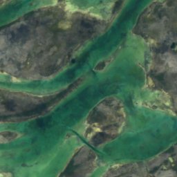
Somerset Creek
Andros Town, North Andros
Satelit: Sentinel-2 cloudless 2016 dari EOX IT Services GmbH · CC BY 4.0 · Berisi data Copernicus Sentinel (2016) yang telah dimodifikasi
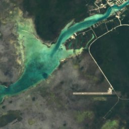
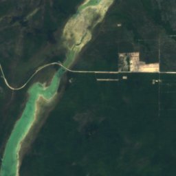
Cargill Creek
Andros Town, North Andros
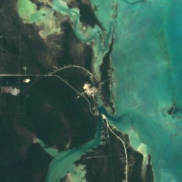
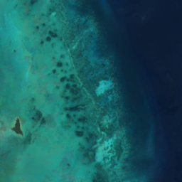




Satelit: Sentinel-2 cloudless 2016 dari EOX IT Services GmbH · CC BY 4.0 · Berisi data Copernicus Sentinel (2016) yang telah dimodifikasi
Staniard Creek
Andros Town, North Andros