Skip to content
Destinations
Weather & climate
Nature
Outdoors
Culture
Events
Sky & live
Traunfall
Photo: C.Stadler/Bwag · CC BY-SA 3.0 at · Wikimedia Commons
TraunfallReport this photo · linked, not stored
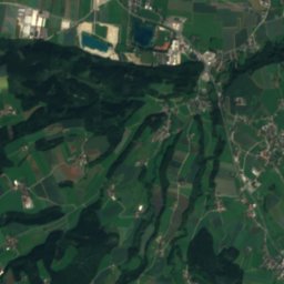
Aurach
Photo: Lars Staffanski · CC BY-SA 3.0 at · Wikimedia Commons
AurachReport this photo · linked, not stored
Aurach
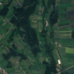
Ager
Photo: AtterseeMM · CC BY-SA 4.0 · Wikimedia Commons
AgerReport this photo · linked, not stored
Ager
Vöckla
Photo: El bes · CC BY 3.0 · Wikimedia Commons
VöcklaReport this photo · linked, not stored
Vöckla
Krottensee, Upper Austria
Photo: Oe5sbp · CC BY-SA 3.0 at · Wikimedia Commons
Krottensee, Upper AustriaReport this photo · linked, not stored
Krottensee, Upper Austria
WaterfallRoitham, Upper Austria

Traunfall

Waterfall385 m elevationBest Jul–Sep
Elevation385 mabove sea level
Height–of the falls
Nearest townRoitham1.9 km
48.02° N, 13.80° EElevation 385 mUTC+1 · Central European Standard Time
When to goRoitham · weather score
JanFebMarAprMayJunJulAugSepOctNovDec49October
Best timeJul–Sep
October: high / low14° / 6°
Waterfall

Traunfall in brief

Traunfall is a waterfall in Roitham, Upper Austria, Austria.

It lies at 385 m above sea level.

The nearest town is Roitham, 1.9 km to the NE, where the weather is best in July, August and September.

Roitham: weather and travel guide

Weather nearby now

Forecast for Roitham
10°
Partly cloudy now
Wind5 km/h
Humidity76%
Cloud cover27%
Today
27 Oct
10°
3°
Wed
28 Oct
14°
4°
8 mm
Thu
29 Oct
10°
4°
6 mm
Fri
30 Oct
9°
2°
Sat
31 Oct
10°
3°

Model run 00:00 UTCRefreshed several times a day

When to go

The best months around Traunfall

Climate of Roitham

Month score in Roitham

Comfort, dry days and sunshine · out of 100
21
Jan
28
Feb
23
Mar
59
Apr
63
May
64
Jun
65
Jul
65
Aug
70
Sep
49
Oct
26
Nov
21
Dec
Map

Traunfall from above

Nature nearbyAll of Austria
Photo: Lars Staffanski · CC BY-SA 3.0 at · Wikimedia CommonsReport this photo · linked, not stored
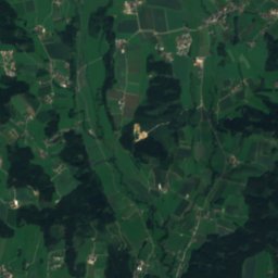
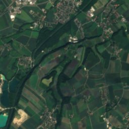
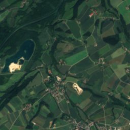
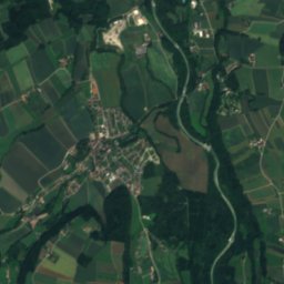
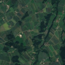
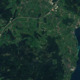
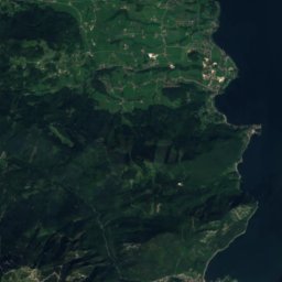
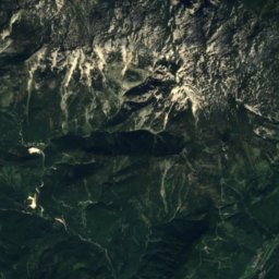
AurachRiver4.8 kmWAurach
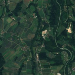
Satellite: Sentinel-2 cloudless 2016 by EOX IT Services GmbH · CC BY 4.0 · Contains modified Copernicus Sentinel data 2016
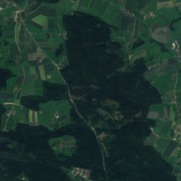
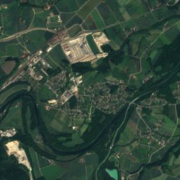
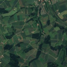
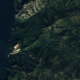
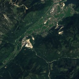
Dürre AurachRiver6.8 kmSWDürre Aurach
Photo: AtterseeMM · CC BY-SA 4.0 · Wikimedia CommonsReport this photo · linked, not stored
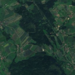
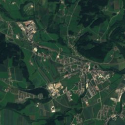
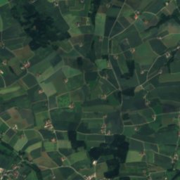
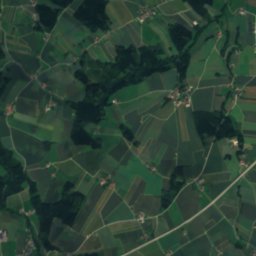
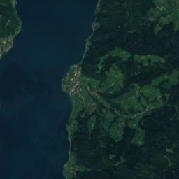
AgerRiver9.1 kmNEAger
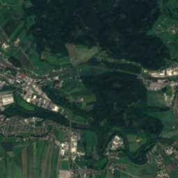
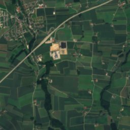
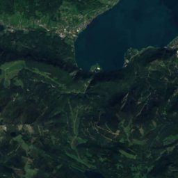
Satellite: Sentinel-2 cloudless 2016 by EOX IT Services GmbH · CC BY 4.0 · Contains modified Copernicus Sentinel data 2016
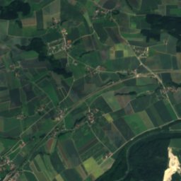
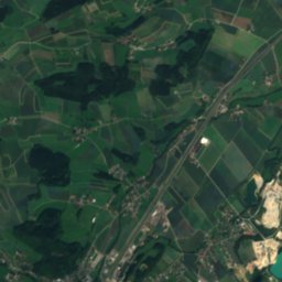
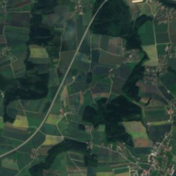
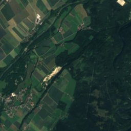
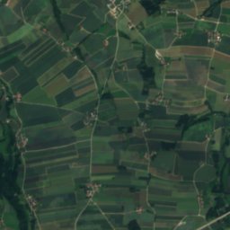
LaudachRiver9.4 kmELaudach
Photo: El bes · CC BY 3.0 · Wikimedia CommonsReport this photo · linked, not stored
VöcklaRiver9.7 kmWVöckla
Photo: Oe5sbp · CC BY-SA 3.0 at · Wikimedia CommonsReport this photo · linked, not stored
Krottensee, Upper AustriaLake10 kmSKrottensee, Upper Austria
Summits nearbyMountains of Austria
Photo: Bayahusa · CC BY-SA 4.0 · Wikimedia CommonsReport this photo · linked, not stored
Vorderer Kesselgupf25 km S1,822 mJuly 14°Vorderer Kesselgupf
Photo: Tigerente · CC BY-SA 4.0 · Wikimedia CommonsReport this photo · linked, not stored
Eiblgupf24 km S1,813 mJuly 14°Eiblgupf
Photo: Grimsvoetn · CC BY-SA 3.0 · Wikimedia CommonsReport this photo · linked, not stored
Brunnkogel, Steinbach am Attersee24 km SW1,708 mJuly 15°Brunnkogel, Steinbach am Attersee
Photo: Tigerente · CC BY 4.0 · Wikimedia CommonsReport this photo · linked, not stored
Alberfeldkogel23 km S1,707 mJuly 16°Alberfeldkogel
Photo: Piotr Zarobkiewicz · CC BY-SA 3.0 · Wikimedia CommonsReport this photo · linked, not stored
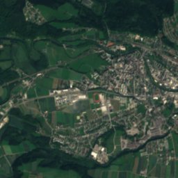
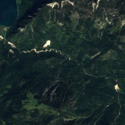
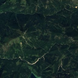
Traunstein16 km S1,691 mJuly 15°Traunstein
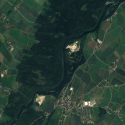
Satellite: Sentinel-2 cloudless 2016 by EOX IT Services GmbH · CC BY 4.0 · Contains modified Copernicus Sentinel data 2016
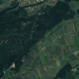
Helmeskogel24 km S1,633 mJuly 14°Helmeskogel
Stay nearby

Towns close by

Roitham
Photo: C.Stadler/Bwag · CC BY-SA 4.0 · Wikimedia CommonsReport this photo · linked, not stored

Roitham

Upper Austria · 1.9 km NE
14°Oct high
11wet days
49score
Roitham
Desselbrunn
Photo: C.Stadler/Bwag · CC BY-SA 3.0 · Wikimedia CommonsReport this photo · linked, not stored

Desselbrunn

Upper Austria · 2.3 km W
14°Oct high
11wet days
49score
Desselbrunn
Rüstorf
Photo: C.Stadler/Bwag · CC BY-SA 4.0 · Wikimedia CommonsReport this photo · linked, not stored

Rüstorf

Upper Austria · 3.1 km N
14°Oct high
11wet days
50score
Rüstorf
Redlham
Photo: Herzi Pinki · CC BY-SA 3.0 · Wikimedia CommonsReport this photo · linked, not stored

Redlham

Upper Austria · 4.0 km W
14°Oct high
12wet days
48score
Redlham
Around here

Roitham and around

Roitham
Photo: C.Stadler/Bwag · CC BY-SA 4.0 · Wikimedia CommonsReport this photo · linked, not stored

Roitham

Upper Austria · Austria
Jul–Sepbest months
25°July high
421 maltitude
Roitham

Nature

Ager
Photo: AtterseeMM · CC BY-SA 4.0 · Wikimedia CommonsReport this photo · linked, not stored
7.6 km N

Ager

River
Ager
Alm
Photo: Tigerente · CC BY-SA 4.0 · Wikimedia CommonsReport this photo · linked, not stored
10 km NE

Alm

River
Alm
Aurach
Photo: Lars Staffanski · CC BY-SA 3.0 at · Wikimedia CommonsReport this photo · linked, not stored
6.6 km W

Aurach

River
Aurach

Mountains

Großer Priel
Photo: Isiwal · CC BY-SA 4.0 · Wikimedia CommonsReport this photo · linked, not stored
39 km SE

Großer Priel

2,515 m · Prielgruppe
Großer Priel
Schermberg
Photo: Isiwal/Wikimedia Commons/CC BY-SA 4.0 · CC BY-SA 4.0 · Wikimedia CommonsReport this photo · linked, not stored
38 km SE

Schermberg

2,396 m · Prielgruppe
Schermberg
Temlberg
Photo: Herzi Pinki · CC BY-SA 3.0 · Wikimedia CommonsReport this photo · linked, not stored
39 km SE

Temlberg

2,331 m · Totes Gebirge
Temlberg

Heritage

Pfarrkirche Roitham
Photo: C.Stadler/Bwag · CC BY-SA 3.0 at · Wikimedia CommonsReport this photo · linked, not stored
under 100 m NW

Pfarrkirche Roitham

Listed objects in Austria
Pfarrkirche Roitham
Schloss Au an der Traun
Photo: C.Stadler/Bwag · CC BY-SA 3.0 at · Wikimedia CommonsReport this photo · linked, not stored
0.3 km NW

Schloss Au an der Traun

Listed objects in Austria
Schloss Au an der Traun
Schloss Windern
Photo: Pepito Tey · CC BY-SA 3.0 at · Wikimedia CommonsReport this photo · linked, not stored
2.1 km W

Schloss Windern

Listed objects in Austria
Schloss Windern

Museums

Evangelisches Museum Oberösterreich
Photo: C.Stadler/Bwag · CC BY-SA 4.0 · Wikimedia CommonsReport this photo · linked, not stored
10 km SW

Evangelisches Museum Oberösterreich

Evangelisches Museum Oberösterreich
Exhibition "Klo & So"
Photo: User:Karl Gruber · CC BY-SA 4.0 · Wikimedia CommonsReport this photo · linked, not stored
12 km S

Exhibition "Klo & So"

Exhibition "Klo & So"
Heimathaus, Vöcklabruck
Photo: El bes · CC BY 3.0 · Wikimedia CommonsReport this photo · linked, not stored
13 km W

Heimathaus, Vöcklabruck

Heimathaus, Vöcklabruck