Skip to content
Destinations
Weather & climate
Nature
Outdoors
Culture
Events
Sky & live
Alm
Photo: Tigerente · CC BY-SA 4.0 · Wikimedia Commons
AlmReport this photo · linked, not stored
Ager
Photo: AtterseeMM · CC BY-SA 4.0 · Wikimedia Commons
AgerReport this photo · linked, not stored
Ager
Irnhartingerbach
Photo: Justus Mandelbaum · CC BY-SA 4.0 · Wikimedia Commons
IrnhartingerbachReport this photo · linked, not stored
Irnhartingerbach
Traunfall
Photo: C.Stadler/Bwag · CC BY-SA 3.0 at · Wikimedia Commons
TraunfallReport this photo · linked, not stored
Traunfall
Aurach
Photo: Lars Staffanski · CC BY-SA 3.0 at · Wikimedia Commons
AurachReport this photo · linked, not stored
Aurach
RiverFischlham, Upper Austria

Alm

RiverBest May–Jun · Sep
Elevation–above sea level
Length48 kmsource to mouth
Nearest townFischlham2.4 km
48.09° N, 13.92° EUTC+2 · Central European Summer Time
When to goFischlham · weather score
JanFebMarAprMayJunJulAugSepOctNovDec49October
Best timeMay–Jun · Sep
October: high / low14° / 6°
River

Alm in brief

Alm is a river in Fischlham, Upper Austria, Austria.

The nearest town in the atlas is Fischlham, 2.4 km to the E, where the weather is best in May, June and September.

Alm is 48 km long.

Fischlham: weather and travel guide

Weather nearby now

Forecast for Fischlham
11°
Sunny now
Wind9 km/h
Humidity58%
Cloud cover3%
Today
22 Oct
11°
3°
2 mm
Fri
23 Oct
10°
2°
1 mm
Sat
24 Oct
10°
4°
3 mm
Sun
25 Oct
11°
2°
5 mm
Mon
26 Oct
12°
7°

Model run 00:00 UTCRefreshed several times a day

The course of the river

As mapped in OpenStreetMap, with the towns of the atlas along its banks.
sourcemouth (or where the mapped line leaves the country)
When to go

The best months around Alm

Climate of Fischlham

Month score in Fischlham

Comfort, dry days and sunshine · out of 100
21
Jan
28
Feb
24
Mar
61
Apr
64
May
64
Jun
63
Jul
64
Aug
70
Sep
49
Oct
26
Nov
21
Dec
Map

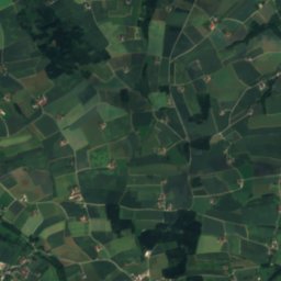
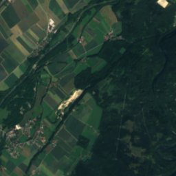
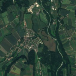
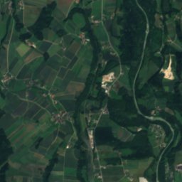
Alm from above

Nature nearbyAll of Austria
Photo: AtterseeMM · CC BY-SA 4.0 · Wikimedia CommonsReport this photo · linked, not stored
AgerRiver4.5 kmWAger
Photo: Justus Mandelbaum · CC BY-SA 4.0 · Wikimedia CommonsReport this photo · linked, not stored
IrnhartingerbachRiver4.9 kmNIrnhartingerbach
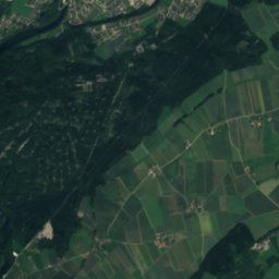
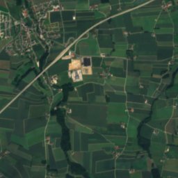
Satellite: Sentinel-2 cloudless 2016 by EOX IT Services GmbH · CC BY 4.0 · Contains modified Copernicus Sentinel data 2016
LaudachRiver5.7 kmSLaudach
Photo: C.Stadler/Bwag · CC BY-SA 3.0 at · Wikimedia CommonsReport this photo · linked, not stored
TraunfallWaterfall12 kmSWTraunfall
Photo: Lars Staffanski · CC BY-SA 3.0 at · Wikimedia CommonsReport this photo · linked, not stored
AurachRiver16 kmSWAurach
Photo: Tigerente · CC BY-SA 4.0 · Wikimedia CommonsReport this photo · linked, not stored
TeufelshöhleCave17 kmETeufelshöhle
Summits nearbyMountains of Austria
Photo: Piotr Zarobkiewicz · CC BY-SA 3.0 · Wikimedia CommonsReport this photo · linked, not stored
Traunstein25 km S1,691 mJuly 15°Traunstein
Photo: Tigerente · CC BY-SA 4.0 · Wikimedia CommonsReport this photo · linked, not stored
Steineck, Upper Austria24 km S1,418 mJuly 18°Steineck, Upper Austria
Photo: Tigerente · CC BY-SA 4.0 · Wikimedia CommonsReport this photo · linked, not stored
Hochsalm24 km S1,405 mJuly 18°Hochsalm
Photo: Isiwal · CC BY-SA 3.0 at · Wikimedia CommonsReport this photo · linked, not stored
Katzenstein24 km S1,349 mJuly 19°Katzenstein
Photo: Tigerente · CC BY 4.0 · Wikimedia CommonsReport this photo · linked, not stored
Windhagkogel25 km S1,334 mJuly 19°Windhagkogel
Photo: Tigerente · CC BY 4.0 · Wikimedia CommonsReport this photo · linked, not stored
Scharnsteiner Spitze23 km S1,133 mJuly 22°Scharnsteiner Spitze
Stay nearby

Towns close by

Fischlham
Photo: Isiwal · CC BY-SA 4.0 · Wikimedia CommonsReport this photo · linked, not stored

Fischlham

Upper Austria · 2.4 km E
14°Oct high
11wet days
49score
Fischlham
Wimsbach
Photo: C.Stadler/Bwag · CC BY-SA 4.0 · Wikimedia CommonsReport this photo · linked, not stored

Wimsbach

Upper Austria · 3.0 km SW
14°Oct high
11wet days
50score
Wimsbach
Steinerkirchen an der Traun
Photo: Isiwal · CC BY-SA 4.0 · Wikimedia CommonsReport this photo · linked, not stored

Steinerkirchen an der Traun

Upper Austria · 3.2 km SE
14°Oct high
11wet days
49score
Steinerkirchen an der Traun
Lambach
Photo: C.Stadler/Bwag · CC BY-SA 4.0 · Wikimedia CommonsReport this photo · linked, not stored

Lambach

Upper Austria · 3.3 km W
14°Oct high
11wet days
49score
Lambach
Around here

Fischlham and around

Fischlham
Photo: Isiwal · CC BY-SA 4.0 · Wikimedia CommonsReport this photo · linked, not stored

Fischlham

Upper Austria · Austria
May–Jun · Sepbest months
26°July high
353 maltitude
Fischlham

Nature

Ager
Photo: AtterseeMM · CC BY-SA 4.0 · Wikimedia CommonsReport this photo · linked, not stored
6.7 km W

Ager

River
Ager
Satellite: Sentinel-2 cloudless 2016 by EOX IT Services GmbH · CC BY 4.0 · Contains modified Copernicus Sentinel data 2016
5.7 km S

Laudach

River
Laudach
Irnhartingerbach
Photo: Justus Mandelbaum · CC BY-SA 4.0 · Wikimedia CommonsReport this photo · linked, not stored
5.7 km N

Irnhartingerbach

River
Irnhartingerbach

Mountains

Fäustling
Photo: Stw767 · CC BY-SA 4.0 · Wikimedia CommonsReport this photo · linked, not stored
39 km S

Fäustling

1,919 m · Totes Gebirge
Fäustling
Großer Höllkogel
Photo: Tigerente · CC BY 4.0 · Wikimedia CommonsReport this photo · linked, not stored
38 km SW

Großer Höllkogel

1,862 m · Höllengebirge
Großer Höllkogel
Hochsengs
Photo: Herzi Pinki · CC BY-SA 3.0 · Wikimedia CommonsReport this photo · linked, not stored
39 km SE

Hochsengs

1,838 m · Sengsengebirge
Hochsengs

Heritage

Saint Martin Church, Steinerkirchen an der Traun
Photo: C.Stadler/Bwag · CC BY-SA 4.0 · Wikimedia CommonsReport this photo · linked, not stored
1.1 km SE

Saint Martin Church, Steinerkirchen an der Traun

Listed objects in Austria
Saint Martin Church, Steinerkirchen an der Traun
Satellite: Sentinel-2 cloudless 2016 by EOX IT Services GmbH · CC BY 4.0 · Contains modified Copernicus Sentinel data 2016
0.2 km E

Fischlham Parish Church

Listed objects in Austria
Fischlham Parish Church
Benediktinerinnenkloster Steinerkirchen
Photo: Isiwal (talk) · CC BY-SA 3.0 at · Wikimedia CommonsReport this photo · linked, not stored
1.2 km SE

Benediktinerinnenkloster Steinerkirchen

Listed objects in Austria
Benediktinerinnenkloster Steinerkirchen

Museums

Satellite: Sentinel-2 cloudless 2016 by EOX IT Services GmbH · CC BY 4.0 · Contains modified Copernicus Sentinel data 2016
3.3 km NW

Kunst und Historisches Hofmuseum

Art museum
Kunst und Historisches Hofmuseum
Museum Angerlehner
Photo: Bernhard Holub · CC BY-SA 4.0 · Wikimedia CommonsReport this photo · linked, not stored
8.7 km NE

Museum Angerlehner

2013
Museum Angerlehner
Welios
Photo: Tigerente · CC BY-SA 4.0 · Wikimedia CommonsReport this photo · linked, not stored
9.3 km NE

Welios

2011
Welios