
Photo: Ewald Gabardi · CC BY-SA 3.0 · Wikimedia Commons
Schleierfall, StyriaReport this photo · linked, not stored
Schleierfall, StyriaReport this photo · linked, not stored

Photo: Ewald Gabardi · CC BY-SA 3.0 · Wikimedia Commons
SilberkarseeReport this photo · linked, not stored
SilberkarseeSilberkarseeReport this photo · linked, not stored

Photo: René Eduard Perhab · CC BY-SA 3.0 de · Wikimedia Commons
GuttenberghausReport this photo · linked, not stored
GuttenberghausGuttenberghausReport this photo · linked, not stored

Photo: Ewald Gabardi · CC BY-SA 3.0 · Wikimedia Commons
LuserfallReport this photo · linked, not stored
LuserfallLuserfallReport this photo · linked, not stored

Photo: Ewald Gabardi · CC BY-SA 3.0 · Wikimedia Commons
Ahornsee, AichReport this photo · linked, not stored
Ahornsee, AichAhornsee, AichReport this photo · linked, not stored
WaterfallRamsau am Dachstein, Styria
Schleierfall, Styria
WaterfallBest Jun–Aug
Elevation–above sea level
Height70 mof the falls
Nearest townRamsau am Dachstein4.8 km
47.44° N, 13.72° EUTC+2 · Central European Summer Time
When to goRamsau am Dachstein · weather score
Best timeJun–Aug
October: high / low12° / 2°
Waterfall
Schleierfall, Styria in brief
Schleierfall, Styria is a waterfall in Ramsau am Dachstein, Styria, Austria.
It drops 70 m.
The nearest town in the atlas is Ramsau am Dachstein, 4.8 km to the W, where the weather is best in June, July and August.
Weather nearby now
Forecast for Ramsau am Dachstein7°
Sunny now
Today
22 Oct
7°
1°
6 mm
Fri
23 Oct
12°
0°
Sat
24 Oct
5°
-2°
8 mm
Sun
25 Oct
8°
-3°
8 mm
Mon
26 Oct
12°
5°
2 mm
Model run 00:00 UTCRefreshed several times a day
When to go
Climate of Ramsau am DachsteinThe best months around Schleierfall, Styria
Month score in Ramsau am Dachstein
Comfort, dry days and sunshine · out of 10020
Jan
22
Feb
18
Mar
27
Apr
54
May
63
Jun
65
Jul
64
Aug
54
Sep
33
Oct
20
Nov
19
Dec
Map
Schleierfall, Styria from above
Nature nearbyAll of Austria


Photo: René Eduard Perhab · CC BY-SA 3.0 de · Wikimedia CommonsReport this photo · linked, not stored

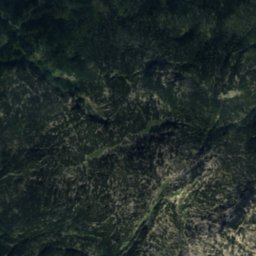
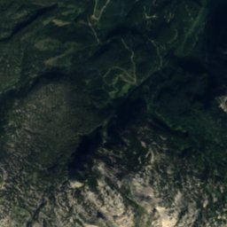
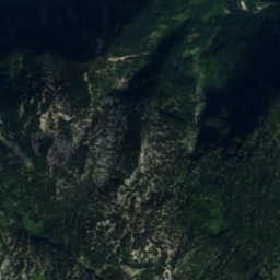
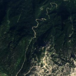
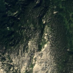
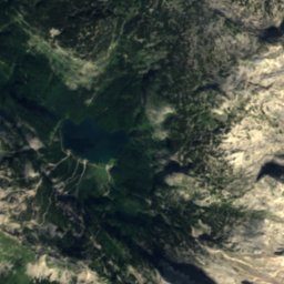
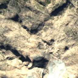
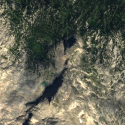
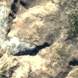
Satellite: Sentinel-2 cloudless 2016 by EOX IT Services GmbH · CC BY 4.0 · Contains modified Copernicus Sentinel data 2016
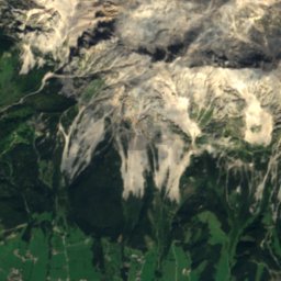
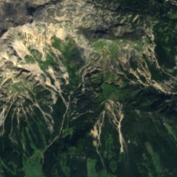
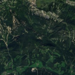
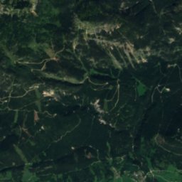
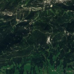
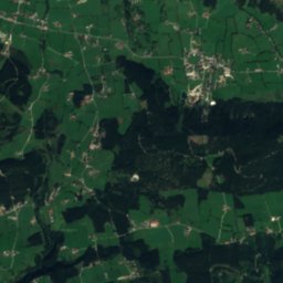
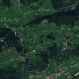
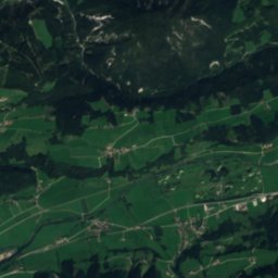
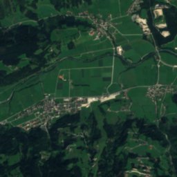
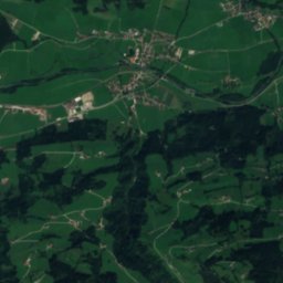
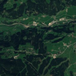
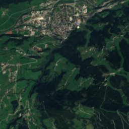
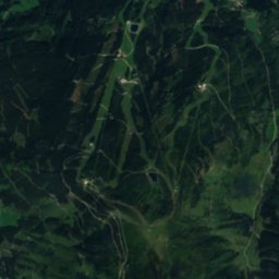
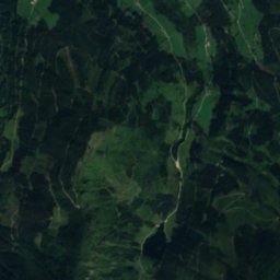
Satellite: Sentinel-2 cloudless 2016 by EOX IT Services GmbH · CC BY 4.0 · Contains modified Copernicus Sentinel data 2016

Summits nearbyMountains of Austria


Photo: Ralph Deleja-Hotko = de:Benutzer:Aerotiker · CC BY-SA 3.0 de · Wikimedia CommonsReport this photo · linked, not stored
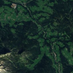
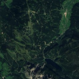
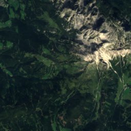
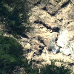
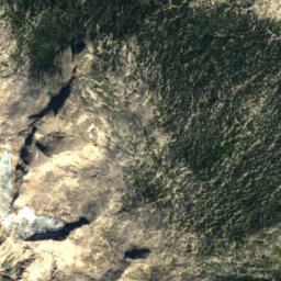
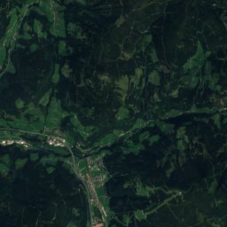
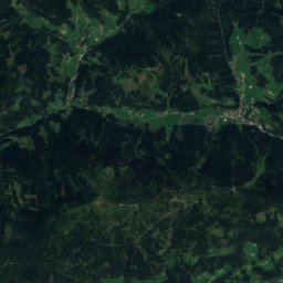
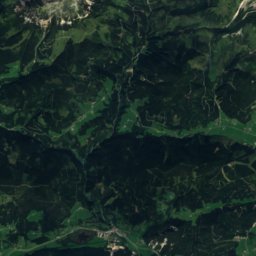
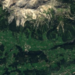
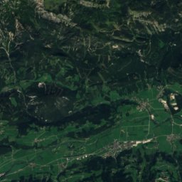
Satellite: Sentinel-2 cloudless 2016 by EOX IT Services GmbH · CC BY 4.0 · Contains modified Copernicus Sentinel data 2016


Stay nearby
Towns close by


Around here
Ramsau am Dachstein and around
Nature


Mountains


Photo: Ralph Deleja-Hotko = de:Benutzer:Aerotiker · CC BY-SA 3.0 de · Wikimedia CommonsReport this photo · linked, not stored
Niederer Dachstein
2,934 m · Dachstein Mountains
Heritage

Saint Rupert Church, Ramsau am Dachstein
Listed objects in Austria
Satellite: Sentinel-2 cloudless 2016 by EOX IT Services GmbH · CC BY 4.0 · Contains modified Copernicus Sentinel data 2016
Protestant Church, Ramsau am Dachstein
Listed objects in Austria

Saints Peter and Paul Church, Filzmoos
Listed objects in Austria
Museums


Photo: Dieter Zoubek at German Wikipedia · CC BY-SA 3.0 · Wikimedia CommonsReport this photo · linked, not stored

Heimatmuseum Bruderlade
Local museum · 1989