Skip to content
Destinations
Weather & climate
Nature
Outdoors
Culture
Events
Sky & live
Ahornsee, Aich
Photo: Ewald Gabardi · CC BY-SA 3.0 · Wikimedia Commons
Ahornsee, AichReport this photo · linked, not stored
Gradenbachfall
Photo: Ewald Gabardi · CC BY-SA 3.0 · Wikimedia Commons
GradenbachfallReport this photo · linked, not stored
Gradenbachfall
Luserfall
Photo: Ewald Gabardi · CC BY-SA 3.0 · Wikimedia Commons
LuserfallReport this photo · linked, not stored
Luserfall
Silberkarsee
Photo: Ewald Gabardi · CC BY-SA 3.0 · Wikimedia Commons
SilberkarseeReport this photo · linked, not stored
Silberkarsee
Schleierfall, Styria
Photo: Ewald Gabardi · CC BY-SA 3.0 · Wikimedia Commons
Schleierfall, StyriaReport this photo · linked, not stored
Schleierfall, Styria
LakeAich, Styria

Ahornsee, Aich

Lake1,485 m elevationBest May · Jul–Aug
Elevation1,485 mabove sea level
Area–surface
Nearest townAich5.7 km
47.47° N, 13.78° EElevation 1,485 mUTC+2 · Central European Summer Time
When to goAich · weather score
JanFebMarAprMayJunJulAugSepOctNovDec49October
Best timeMay · Jul–Aug
October: high / low15° / 4°
Lake

Ahornsee, Aich in brief

Ahornsee, Aich is a lake in Aich, Styria, Austria.

It lies at 1,485 m above sea level.

The nearest town in the atlas is Aich, 5.7 km to the SE, where the weather is best in May, July and August.

Aich: weather and travel guide

Weather nearby now

Forecast for Aich
10°
Sunny now
Wind8 km/h
Humidity53%
Cloud cover16%
Today
22 Oct
10°
3°
6 mm
Fri
23 Oct
14°
2°
Sat
24 Oct
8°
0°
8 mm
Sun
25 Oct
10°
-1°
8 mm
Mon
26 Oct
15°
7°
2 mm

Model run 00:00 UTCRefreshed several times a day

When to go

The best months around Ahornsee, Aich

Climate of Aich

Month score in Aich

Comfort, dry days and sunshine · out of 100
22
Jan
24
Feb
20
Mar
45
Apr
64
May
64
Jun
66
Jul
65
Aug
63
Sep
49
Oct
23
Nov
20
Dec
Map

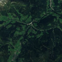
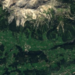
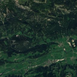
Ahornsee, Aich from above

Nature nearbyAll of Austria
Photo: Ewald Gabardi · CC BY-SA 3.0 · Wikimedia CommonsReport this photo · linked, not stored
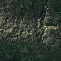
GradenbachfallWaterfall2.3 kmSEGradenbachfall
Satellite: Sentinel-2 cloudless 2016 by EOX IT Services GmbH · CC BY 4.0 · Contains modified Copernicus Sentinel data 2016
BärenlochCave4.3 kmNWBärenloch
Photo: Ewald Gabardi · CC BY-SA 3.0 · Wikimedia CommonsReport this photo · linked, not stored
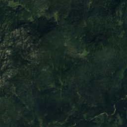
LuserfallWaterfall5.0 kmSWLuserfall
Satellite: Sentinel-2 cloudless 2016 by EOX IT Services GmbH · CC BY 4.0 · Contains modified Copernicus Sentinel data 2016
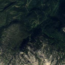
MaisenbergseeleinLake5.5 kmNWMaisenbergseelein
Photo: Ewald Gabardi · CC BY-SA 3.0 · Wikimedia CommonsReport this photo · linked, not stored
SilberkarseeLake5.8 kmWSilberkarsee
Photo: Ewald Gabardi · CC BY-SA 3.0 · Wikimedia CommonsReport this photo · linked, not stored
Schleierfall, StyriaWaterfall6.0 kmSWSchleierfall, Styria
Summits nearbyMountains of Austria
Photo: C.Stadler/Bwag · CC BY-SA 4.0 · Wikimedia CommonsReport this photo · linked, not stored
Hoher Dachstein13 km W2,995 mJuly 7°Hoher Dachstein
Photo: C.Stadler/Bwag · CC BY-SA 4.0 · Wikimedia CommonsReport this photo · linked, not stored
Torstein, Salzburg15 km W2,948 mJuly 11°Torstein, Salzburg
Photo: Ralph Deleja-Hotko = de:Benutzer:Aerotiker · CC BY-SA 3.0 de · Wikimedia CommonsReport this photo · linked, not stored
Niederer Dachstein13 km W2,934 mJuly 7°Niederer Dachstein
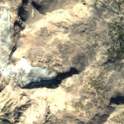
Satellite: Sentinel-2 cloudless 2016 by EOX IT Services GmbH · CC BY 4.0 · Contains modified Copernicus Sentinel data 2016
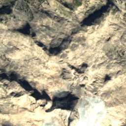
Mitterspitz14 km W2,925 mJuly 8°Mitterspitz
Photo: Tigerente · CC BY 4.0 · Wikimedia CommonsReport this photo · linked, not stored
Koppenkarstein11 km W2,863 mJuly 9°Koppenkarstein
Photo: Evelyn-Theresia · CC BY-SA 3.0 · Wikimedia CommonsReport this photo · linked, not stored
Hochgolling22 km S2,862 mJuly 10°Hochgolling
Stay nearby

Towns close by

Aich
Photo: Ewald Gabardi · CC BY-SA 3.0 · Wikimedia CommonsReport this photo · linked, not stored

Aich

Styria · 5.7 km SE
15°Oct high
13wet days
49score
Aich
Gössenberg
Photo: Ewald Gabardi · CC BY-SA 3.0 · Wikimedia CommonsReport this photo · linked, not stored

Gössenberg

Styria · 6.1 km SE
15°Oct high
13wet days
49score
Gössenberg
Haus im Ennstal
Photo: Ewald Gabardi · CC BY-SA 3.0 · Wikimedia CommonsReport this photo · linked, not stored

Haus im Ennstal

Styria · 6.3 km S
15°Oct high
13wet days
48score
Haus im Ennstal
Haus
Photo: C.Stadler/Bwag · CC BY-SA 4.0 · Wikimedia CommonsReport this photo · linked, not stored

Haus

Styria · 6.4 km S
15°Oct high
13wet days
48score
Haus
Around here

Aich and around

Aich
Photo: Ewald Gabardi · CC BY-SA 3.0 · Wikimedia CommonsReport this photo · linked, not stored

Aich

Styria · Austria
May · Jul–Augbest months
25°July high
711 maltitude
Aich

Nature

Riesachsee
Photo: C.Stadler/Bwag · CC BY-SA 4.0 · Wikimedia CommonsReport this photo · linked, not stored
11 km S

Riesachsee

Lake · 1,338 m
Riesachsee
Miesbodensee
Photo: Ewald Gabardi · CC BY-SA 3.0 · Wikimedia CommonsReport this photo · linked, not stored
8.5 km NE

Miesbodensee

Lake · 1,418 m
Miesbodensee
Bodensee, Styria
Photo: Felix König · CC BY 3.0 · Wikimedia CommonsReport this photo · linked, not stored
5.6 km S

Bodensee, Styria

Lake · 1,157 m
Bodensee, Styria

Mountains

Hoher Dachstein
Photo: C.Stadler/Bwag · CC BY-SA 4.0 · Wikimedia CommonsReport this photo · linked, not stored
17 km W

Hoher Dachstein

2,995 m · Dachstein Mountains
Hoher Dachstein
Torstein, Salzburg
Photo: C.Stadler/Bwag · CC BY-SA 4.0 · Wikimedia CommonsReport this photo · linked, not stored
19 km W

Torstein, Salzburg

2,948 m · Dachstein
Torstein, Salzburg
Niederer Dachstein
Photo: Ralph Deleja-Hotko = de:Benutzer:Aerotiker · CC BY-SA 3.0 de · Wikimedia CommonsReport this photo · linked, not stored
17 km W

Niederer Dachstein

2,934 m · Dachstein Mountains
Niederer Dachstein

Heritage

Evangelisches Bethaus Aich, Styria
Photo: Herzi Pinki · CC BY-SA 3.0 · Wikimedia CommonsReport this photo · linked, not stored
0.4 km SW

Evangelisches Bethaus Aich, Styria

Listed objects in Austria
Evangelisches Bethaus Aich, Styria
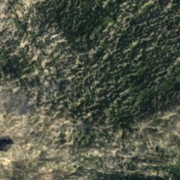
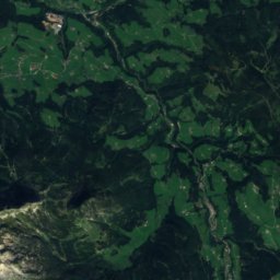
Satellite: Sentinel-2 cloudless 2016 by EOX IT Services GmbH · CC BY 4.0 · Contains modified Copernicus Sentinel data 2016
1.3 km E

Pfarrkirche Assach

Listed objects in Austria
Pfarrkirche Assach
Schloss Thannegg
Photo: Ewaldgabardi · CC BY-SA 3.0 at · Wikimedia CommonsReport this photo · linked, not stored
6.4 km E

Schloss Thannegg

Listed objects in Austria · 1150
Schloss Thannegg

Museums

Zehentspeicher Museum Haus
Photo: Dieter Zoubek · CC BY-SA 3.0 at · Wikimedia CommonsReport this photo · linked, not stored
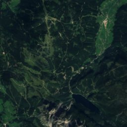
4.4 km W

Zehentspeicher Museum Haus

1490
Zehentspeicher Museum Haus
Heimatmuseum Bruderlade
Photo: Dieter Zoubek at German Wikipedia · CC BY-SA 3.0 · Wikimedia CommonsReport this photo · linked, not stored
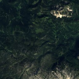
11 km W

Heimatmuseum Bruderlade

Local museum · 1989
Heimatmuseum Bruderlade
Paula Grogger Museum
Photo: Global Fish · CC BY-SA 3.0 · Wikimedia CommonsReport this photo · linked, not stored
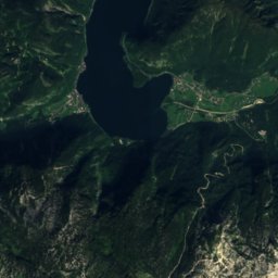
13 km E

Paula Grogger Museum

Paula Grogger Museum