

Photo: Typ46 · CC BY-SA 4.0 · Wikimedia Commons
Ottnanger RedlbachReport this photo · linked, not stored
Ottnanger RedlbachOttnanger RedlbachReport this photo · linked, not stored

Photo: C.Stadler/Bwag · CC BY-SA 4.0 · Wikimedia Commons
Ampflwanger BachReport this photo · linked, not stored
Ampflwanger BachAmpflwanger BachReport this photo · linked, not stored

Photo: C.Stadler/Bwag · CC BY-SA 4.0 · Wikimedia Commons
PettenfirsthütteReport this photo · linked, not stored
PettenfirsthüttePettenfirsthütteReport this photo · linked, not stored

Photo: This photograph was taken by K@rl and released under the license CC BY-SA 4.0. T · CC BY-SA 4.0 · Wikimedia Commons
OberachReport this photo · linked, not stored
OberachOberachReport this photo · linked, not stored
RiverHaag am Hausruck, Upper Austria
Pram
RiverBest Jul–Sep
Elevation–above sea level
Length56 kmsource to mouth
Nearest townHaag am Hausruck2.2 km
48.18° N, 13.62° EUTC+2 · Central European Summer Time
When to goHaag am Hausruck · weather score
Best timeJul–Sep
October: high / low13° / 6°
River
Pram in brief
Pram is a river in Haag am Hausruck, Upper Austria, Austria.
The nearest town in the atlas is Haag am Hausruck, 2.2 km to the E, where the weather is best in July, August and September.
Pram is 56 km long.
Weather nearby now
Forecast for Haag am Hausruck10°
Sunny now
Today
22 Oct
11°
5°
2 mm
Fri
23 Oct
10°
2°
1 mm
Sat
24 Oct
10°
4°
2 mm
Sun
25 Oct
10°
1°
9 mm
Mon
26 Oct
11°
6°
Model run 00:00 UTCRefreshed several times a day
The course of the river
As mapped in OpenStreetMap, with the towns of the atlas along its banks.- 1Brunnenthal393 m
- 2Neuhaus am Inn321 m
- 3Schärding319 m
- 4Sankt Florian am Inn317 m
- 5Taufkirchen an der Pram342 m
- 6Diersbach362 m
- 7Sigharting341 m
- 8Andorf341 m
sourcemouth (or where the mapped line leaves the country)
When to go
Climate of Haag am HausruckThe best months around Pram
Month score in Haag am Hausruck
Comfort, dry days and sunshine · out of 10020
Jan
27
Feb
23
Mar
56
Apr
63
May
64
Jun
66
Jul
65
Aug
70
Sep
44
Oct
25
Nov
19
Dec
Map
Pram from above
Nature nearbyAll of Austria


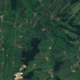
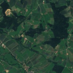
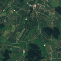
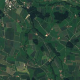
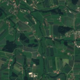
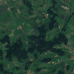
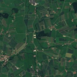
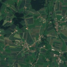
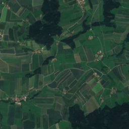
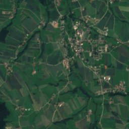
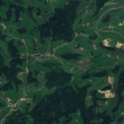
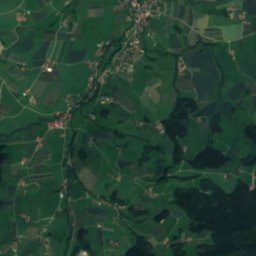
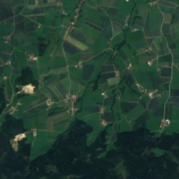
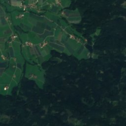
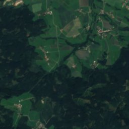
Satellite: Sentinel-2 cloudless 2016 by EOX IT Services GmbH · CC BY 4.0 · Contains modified Copernicus Sentinel data 2016


Photo: This photograph was taken by K@rl and released under the license CC BY-SA 4.0. T · CC BY-SA 4.0 · Wikimedia CommonsReport this photo · linked, not stored
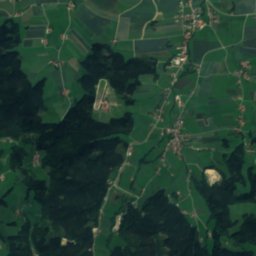
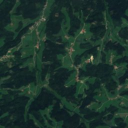
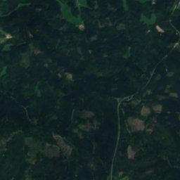
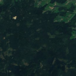
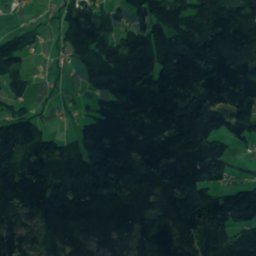
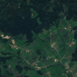
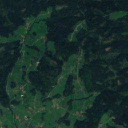
Satellite: Sentinel-2 cloudless 2016 by EOX IT Services GmbH · CC BY 4.0 · Contains modified Copernicus Sentinel data 2016
Summits nearbyMountains of Austria


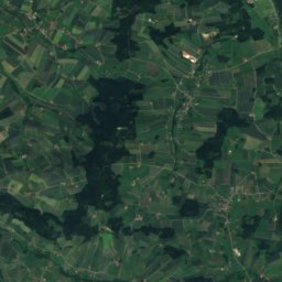
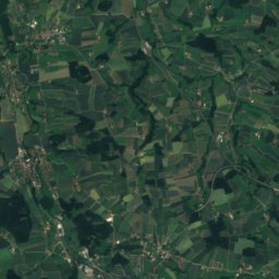
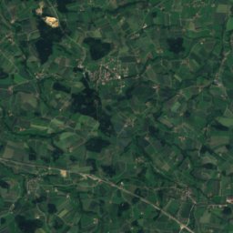
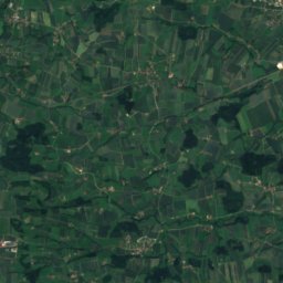
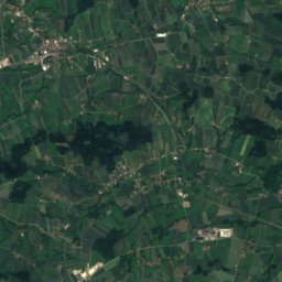
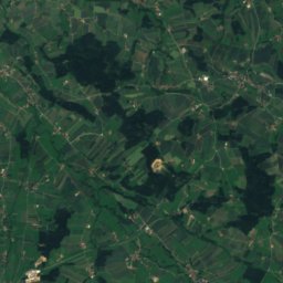
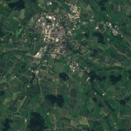
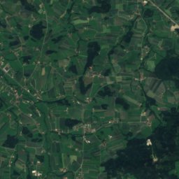
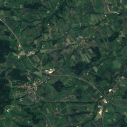
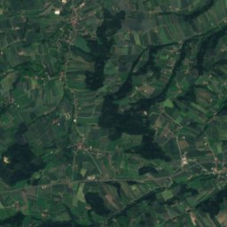
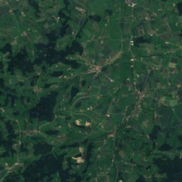
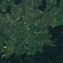
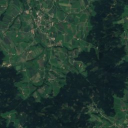
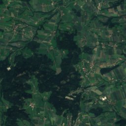
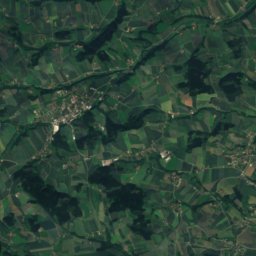
Satellite: Sentinel-2 cloudless 2016 by EOX IT Services GmbH · CC BY 4.0 · Contains modified Copernicus Sentinel data 2016
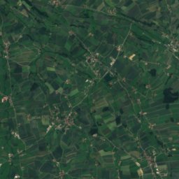
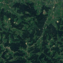
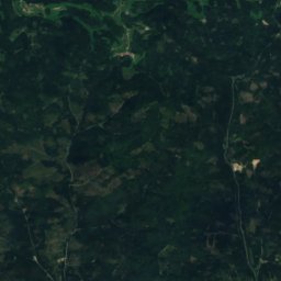
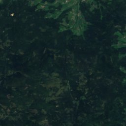
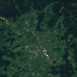
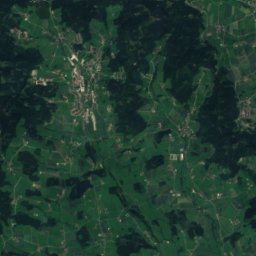
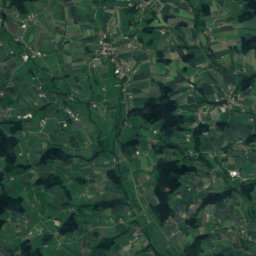
Satellite: Sentinel-2 cloudless 2016 by EOX IT Services GmbH · CC BY 4.0 · Contains modified Copernicus Sentinel data 2016

Stay nearby
Towns close by
Satellite: Sentinel-2 cloudless 2016 by EOX IT Services GmbH · CC BY 4.0 · Contains modified Copernicus Sentinel data 2016
Haag am Hausruck
Upper Austria · 2.2 km E
13°Oct high
12wet days
44score

Sankt Marienkirchen am Hausruck
Upper Austria · 2.8 km W
13°Oct high
12wet days
42score


Around here
Haag am Hausruck and around
Satellite: Sentinel-2 cloudless 2016 by EOX IT Services GmbH · CC BY 4.0 · Contains modified Copernicus Sentinel data 2016
Haag am Hausruck
Upper Austria · Austria
Jul–Sepbest months
25°July high
501 maltitude
Nature


Mountains


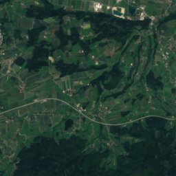
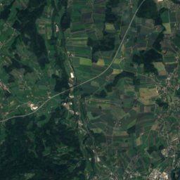
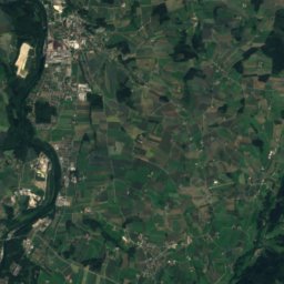
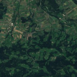
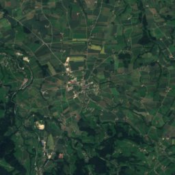
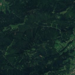
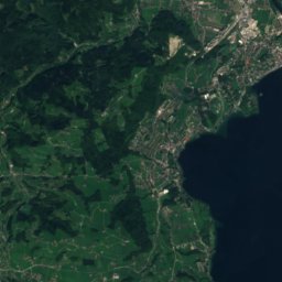
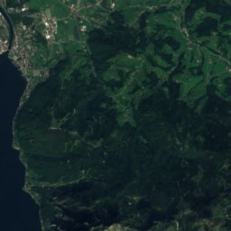
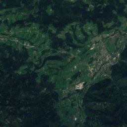
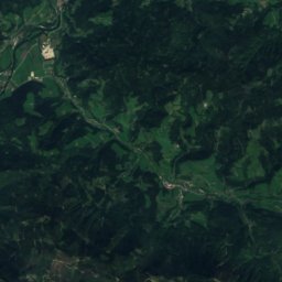
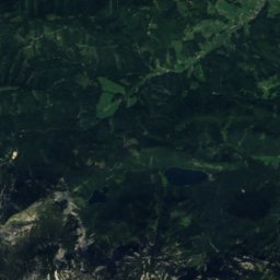
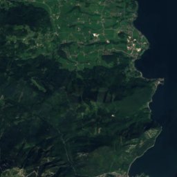
Satellite: Sentinel-2 cloudless 2016 by EOX IT Services GmbH · CC BY 4.0 · Contains modified Copernicus Sentinel data 2016
Hochkogel, Traunkirchen
1,486 m · Upper Austrian Prealps
Heritage
Satellite: Sentinel-2 cloudless 2016 by EOX IT Services GmbH · CC BY 4.0 · Contains modified Copernicus Sentinel data 2016
Sankt Vitus, Haag am Hausruck
Listed objects in Austria · 1700

Museums
Satellite: Sentinel-2 cloudless 2016 by EOX IT Services GmbH · CC BY 4.0 · Contains modified Copernicus Sentinel data 2016
Schloss Starhemberg, Haag am Hausruck
Satellite: Sentinel-2 cloudless 2016 by EOX IT Services GmbH · CC BY 4.0 · Contains modified Copernicus Sentinel data 2016
Learning and memorial site Charlotte Taitl House
Holocaust museum · 2017


