Skip to content
Destinations
Weather & climate
Nature
Outdoors
Culture
Events
Sky & live
Piesting
Photo: Karl Gruber · CC BY-SA 3.0 · Wikimedia Commons
PiestingReport this photo · linked, not stored
Triesting
Photo: Herzi Pinki · CC BY-SA 3.0 · Wikimedia Commons
TriestingReport this photo · linked, not stored
Triesting
Mödlingbach
Photo: Motox · Public domain · Wikimedia Commons
MödlingbachReport this photo · linked, not stored
Mödlingbach
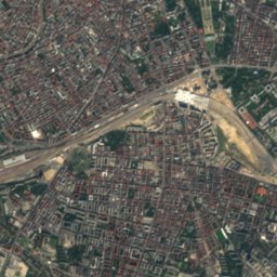
Liesing, Lower Austria
Photo: JonnyBrazil · CC BY-SA 3.0 · Wikimedia Commons
Liesing, Lower AustriaReport this photo · linked, not stored
Liesing, Lower Austria
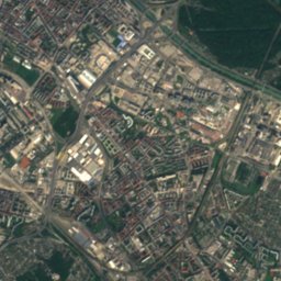
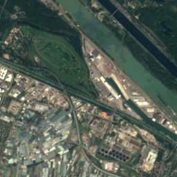
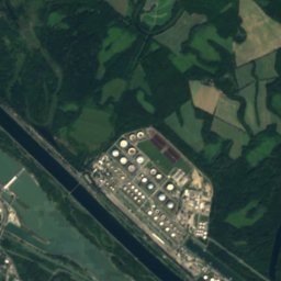
Schwechat
Photo: Michael Vogel · CC BY-SA 3.0 · Wikimedia Commons
SchwechatReport this photo · linked, not stored
Schwechat
RiverGramatneusiedl, Lower Austria

Piesting

RiverBest Apr · Jun · Sep
Elevation–above sea level
Length90 kmsource to mouth
Nearest townGramatneusiedl1.2 km
48.02° N, 16.49° EUTC+1 · Central European Standard Time
When to goGramatneusiedl · weather score
JanFebMarAprMayJunJulAugSepOctNovDec63October
Best timeApr · Jun · Sep
October: high / low15° / 7°
River

Piesting in brief

Piesting is a river in Gramatneusiedl, Lower Austria, Austria.

The nearest town is Gramatneusiedl, 1.2 km to the N, where the weather is best in April, June and September.

Piesting is 90 km long.

Gramatneusiedl: weather and travel guide

Weather nearby now

Forecast for Gramatneusiedl
12°
Partly cloudy now
Wind8 km/h
Humidity61%
Cloud cover20%
Today
26 Oct
13°
6°
1 mm
Tue
27 Oct
14°
2°
Wed
28 Oct
11°
1°
Thu
29 Oct
13°
7°
Fri
30 Oct
11°
5°
1 mm

Model run 12:00 UTCRefreshed several times a day

The course of the river

As mapped in OpenStreetMap, with the towns along its banks.
1234567891011121314
  1. 1Gutenstein481 m
  2. 2Pernitz429 m
  3. 3Waidmannsfeld475 m
  4. 4Waldegg373 m
  5. 5Hernstein436 m
  6. 6Markt Piesting335 m
  7. 7Theresienfeld280 m
  8. 8Felixdorf282 m
  9. 9Sollenau271 m
  10. 10Schönau an der Triesting250 m
  11. 11Teesdorf234 m
  12. 12Tattendorf229 m
  13. 13Ebreichsdorf199 m
  14. 14Gramatneusiedl178 m
sourcemouth (or where the mapped line leaves the country)
When to go

The best months around Piesting

Climate of Gramatneusiedl

Month score in Gramatneusiedl

Comfort, dry days and sunshine · out of 100
29
Jan
33
Feb
40
Mar
76
Apr
68
May
69
Jun
61
Jul
63
Aug
77
Sep
63
Oct
30
Nov
28
Dec
Map

Piesting from above

Nature nearbyAll of Austria
Photo: Herzi Pinki · CC BY-SA 3.0 · Wikimedia CommonsReport this photo · linked, not stored
TriestingRiver9.8 kmNWTriesting
Photo: Motox · Public domain · Wikimedia CommonsReport this photo · linked, not stored
MödlingbachRiver9.8 kmNWMödlingbach
Photo: JonnyBrazil · CC BY-SA 3.0 · Wikimedia CommonsReport this photo · linked, not stored
Liesing, Lower AustriaRiver13 kmNLiesing, Lower Austria
Photo: Michael Vogel · CC BY-SA 3.0 · Wikimedia CommonsReport this photo · linked, not stored
SchwechatRiver14 kmNSchwechat
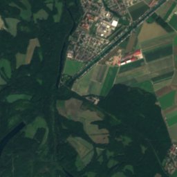
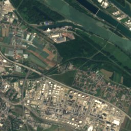
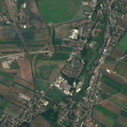
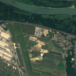
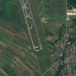
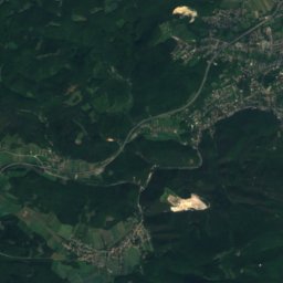
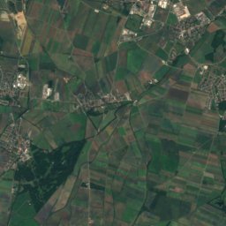
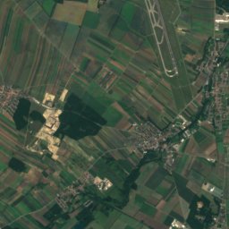
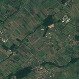
Satellite: Sentinel-2 cloudless 2016 by EOX IT Services GmbH · CC BY 4.0 · Contains modified Copernicus Sentinel data 2016
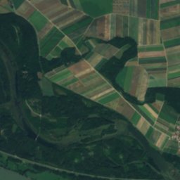
Kalter GangRiver14 kmNKalter Gang
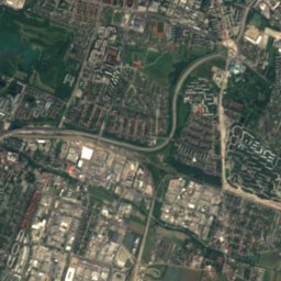
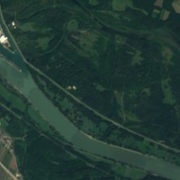
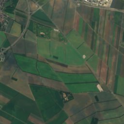
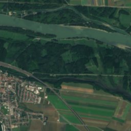
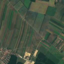
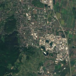
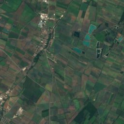
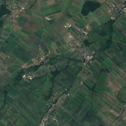
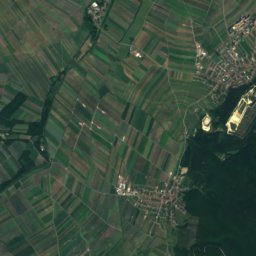
Satellite: Sentinel-2 cloudless 2016 by EOX IT Services GmbH · CC BY 4.0 · Contains modified Copernicus Sentinel data 2016
FischaRiver17 kmNEFischa
Summits nearbyMountains of Austria
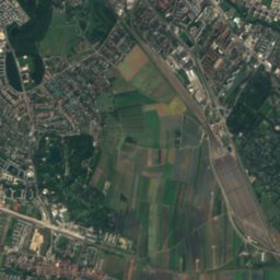
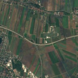
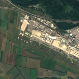
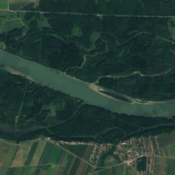
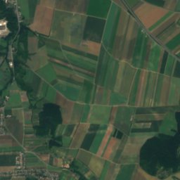
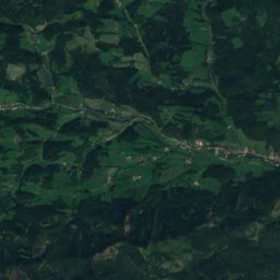
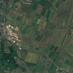
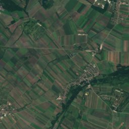
Satellite: Sentinel-2 cloudless 2016 by EOX IT Services GmbH · CC BY 4.0 · Contains modified Copernicus Sentinel data 2016
Sooßer Lindkogel25 km W713 mJuly 24°Sooßer Lindkogel
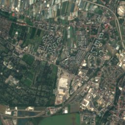
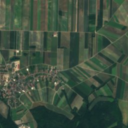
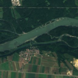
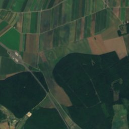
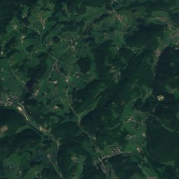
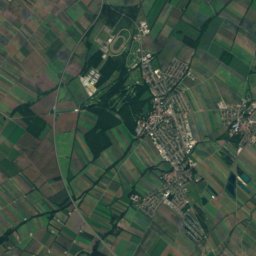
Satellite: Sentinel-2 cloudless 2016 by EOX IT Services GmbH · CC BY 4.0 · Contains modified Copernicus Sentinel data 2016
Anninger19 km W675 mJuly 24°Anninger
Satellite: Sentinel-2 cloudless 2016 by EOX IT Services GmbH · CC BY 4.0 · Contains modified Copernicus Sentinel data 2016
Vierjochkogel18 km W655 mJuly 25°Vierjochkogel
Satellite: Sentinel-2 cloudless 2016 by EOX IT Services GmbH · CC BY 4.0 · Contains modified Copernicus Sentinel data 2016
Eschenkogel19 km W653 mJuly 24°Eschenkogel
Photo: User:Karl Gruber · CC BY-SA 4.0 · Wikimedia CommonsReport this photo · linked, not stored
Buchkogel, Lower Austria20 km W647 mJuly 25°Buchkogel, Lower Austria
Photo: C.Stadler/Bwag · CC BY-SA 4.0 · Wikimedia CommonsReport this photo · linked, not stored
Höllenstein24 km W645 mJuly 25°Höllenstein
Stay nearby

Towns close by

Gramatneusiedl
Photo: Karl Gruber / Wikimedia Commons · CC BY-SA 4.0 · Wikimedia CommonsReport this photo · linked, not stored

Gramatneusiedl

Lower Austria · 1.2 km N
15°Oct high
8wet days
63score
Gramatneusiedl
Mitterndorf an der Fischa
Photo: C.Stadler/Bwag · CC BY-SA 4.0 · Wikimedia CommonsReport this photo · linked, not stored

Mitterndorf an der Fischa

Lower Austria · 3.0 km SW
15°Oct high
8wet days
63score
Mitterndorf an der Fischa
Ebergassing
Photo: C.Stadler/Bwag · CC BY-SA 4.0 · Wikimedia CommonsReport this photo · linked, not stored

Ebergassing

Lower Austria · 3.3 km NE
15°Oct high
8wet days
62score
Ebergassing
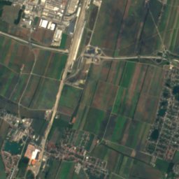
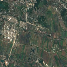
Satellite: Sentinel-2 cloudless 2016 by EOX IT Services GmbH · CC BY 4.0 · Contains modified Copernicus Sentinel data 2016

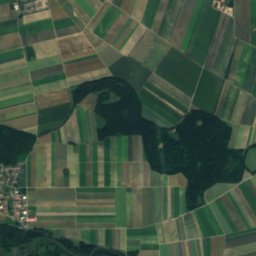
Moosbrunn

Lower Austria · 3.3 km W
15°Oct high
8wet days
62score
Moosbrunn
Around here

Gramatneusiedl and around

Gramatneusiedl
Photo: Karl Gruber / Wikimedia Commons · CC BY-SA 4.0 · Wikimedia CommonsReport this photo · linked, not stored

Gramatneusiedl

Lower Austria · Austria
Apr · Jun · Sepbest months
28°July high
178 maltitude
Gramatneusiedl

Nature

Triesting
Photo: Herzi Pinki · CC BY-SA 3.0 · Wikimedia CommonsReport this photo · linked, not stored
8.8 km NW

Triesting

River
Triesting
Liesing, Lower Austria
Photo: JonnyBrazil · CC BY-SA 3.0 · Wikimedia CommonsReport this photo · linked, not stored
12 km N

Liesing, Lower Austria

River
Liesing, Lower Austria
Mödlingbach
Photo: Motox · Public domain · Wikimedia CommonsReport this photo · linked, not stored
8.8 km NW

Mödlingbach

River
Mödlingbach

Mountains

Hohe Wand (mountain)
Photo: Michael Schmid · CC BY 2.5 · Wikimedia CommonsReport this photo · linked, not stored
39 km SW

Hohe Wand (mountain)

1,132 m · Gutenstein Alps
Hohe Wand (mountain)
Hohe Mandling
Photo: Fuzzy von steyr · CC BY-SA 3.0 · Wikimedia CommonsReport this photo · linked, not stored
39 km SW

Hohe Mandling

967 m · Gutenstein Alps
Hohe Mandling
Vordere Mandling
Photo: Kuhni74 · CC BY-SA 4.0 · Wikimedia CommonsReport this photo · linked, not stored
37 km SW

Vordere Mandling

925 m · Gutenstein Alps
Vordere Mandling

Heritage

Marienthal
Photo: Joadl · CC BY-SA 3.0 · Wikimedia CommonsReport this photo · linked, not stored
1.0 km SE

Marienthal

Listed objects in Austria
Marienthal
Pfarrkirche Ebergassing
Photo: C.Stadler/Bwag · CC BY-SA 4.0 · Wikimedia CommonsReport this photo · linked, not stored
2.8 km NE

Pfarrkirche Ebergassing

Listed objects in Austria
Pfarrkirche Ebergassing
Satellite: Sentinel-2 cloudless 2016 by EOX IT Services GmbH · CC BY 4.0 · Contains modified Copernicus Sentinel data 2016
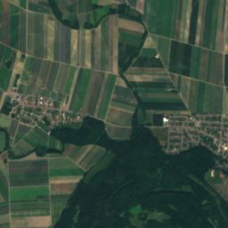
0.2 km S

Pfarrkirche hl Peter und Paul, Gramatneusiedl

Listed objects in Austria
Pfarrkirche hl Peter und Paul, Gramatneusiedl

Museums

Automobil- und Motorradmuseum Austria
Photo: Buch-t · CC BY-SA 3.0 de · Wikimedia CommonsReport this photo · linked, not stored
3.4 km S

Automobil- und Motorradmuseum Austria

Automobile museum · 1997
Automobil- und Motorradmuseum Austria
Franzensburg
Photo: C.Stadler/Bwag · CC BY-SA 4.0 · Wikimedia CommonsReport this photo · linked, not stored
9.5 km NW

Franzensburg

Franzensburg
Funeral Museum Vienna
Photo: Thomas Ledl · CC BY-SA 4.0 · Wikimedia CommonsReport this photo · linked, not stored
14 km N

Funeral Museum Vienna

Folk museum · 1967
Funeral Museum Vienna