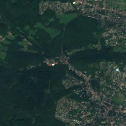
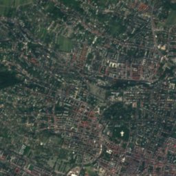
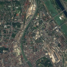
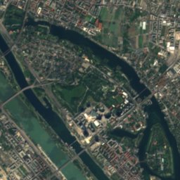
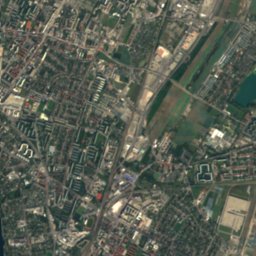
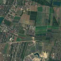
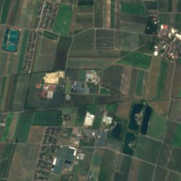
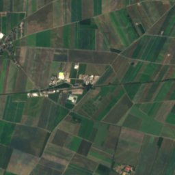
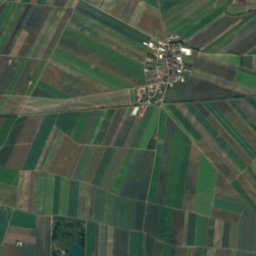
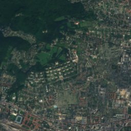
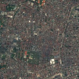
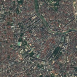
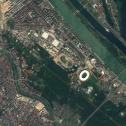
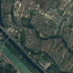
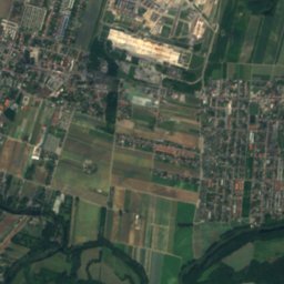
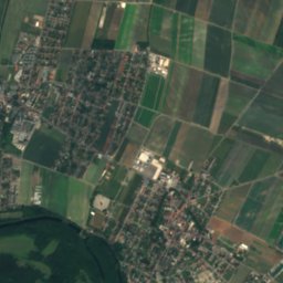
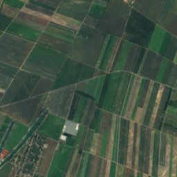
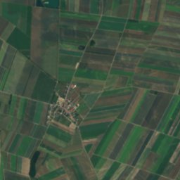
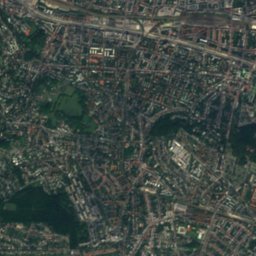
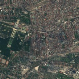
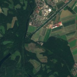
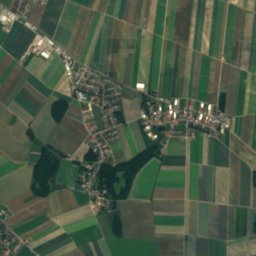
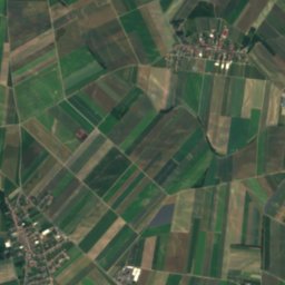
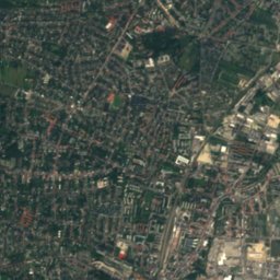
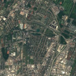
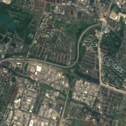
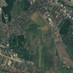
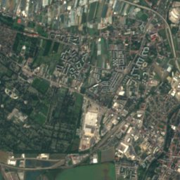
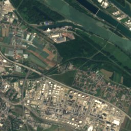
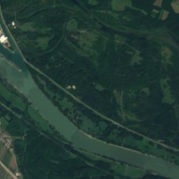
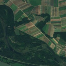
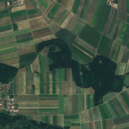
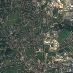
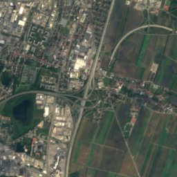
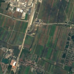
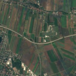
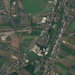
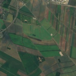
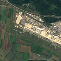
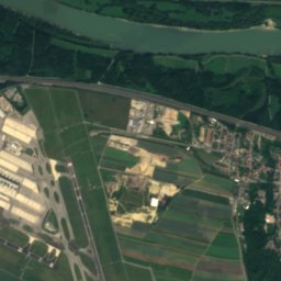
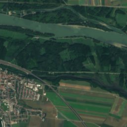
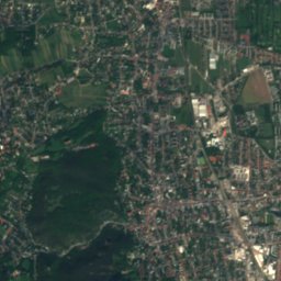
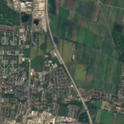
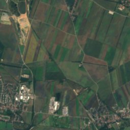
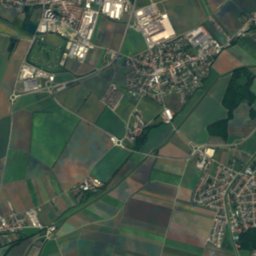
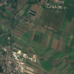
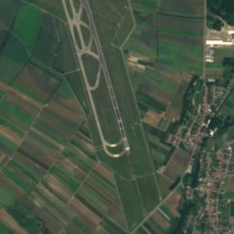
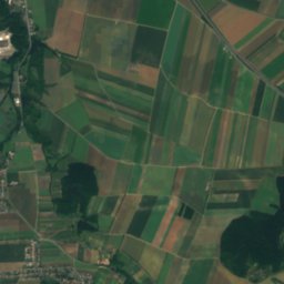
Satellite: Sentinel-2 cloudless 2016 by EOX IT Services GmbH · CC BY 4.0 · Contains modified Copernicus Sentinel data 2016

Photo: JonnyBrazil · CC BY-SA 3.0 · Wikimedia Commons
Liesing, Lower AustriaReport this photo · linked, not stored
Liesing, Lower AustriaLiesing, Lower AustriaReport this photo · linked, not stored

Photo: Michael Vogel · CC BY-SA 3.0 · Wikimedia Commons
SchwechatReport this photo · linked, not stored
SchwechatSchwechatReport this photo · linked, not stored

Photo: Invisigoth67 · CC BY-SA 4.0 · Wikimedia Commons
SchillerwasserReport this photo · linked, not stored
SchillerwasserSchillerwasserReport this photo · linked, not stored

Photo: Paul Korecky · CC BY-SA 2.0 · Wikimedia Commons
MühlwasserReport this photo · linked, not stored
MühlwasserMühlwasserReport this photo · linked, not stored
RiverSchwechat, Lower Austria
Kalter Gang
RiverBest Apr–May · Sep
Elevation–above sea level
Length27 kmsource to mouth
Nearest townSchwechat1.6 km
48.15° N, 16.48° EUTC+2 · Central European Summer Time
When to goSchwechat · weather score
Best timeApr–May · Sep
October: high / low15° / 7°
River
Kalter Gang in brief
Kalter Gang is a river in Schwechat, Lower Austria, Austria.
The nearest town in the atlas is Schwechat, 1.6 km to the SW, where the weather is best in April, May and September.
Kalter Gang is 27 km long.
Weather nearby now
Forecast for Schwechat14°
Sunny now
Today
22 Oct
14°
7°
3 mm
Fri
23 Oct
16°
4°
Sat
24 Oct
12°
7°
Sun
25 Oct
13°
4°
4 mm
Mon
26 Oct
16°
8°
Model run 00:00 UTCRefreshed several times a day
Map
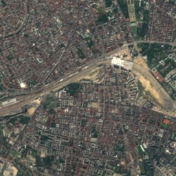
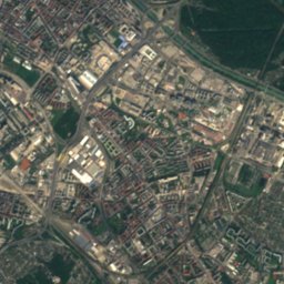
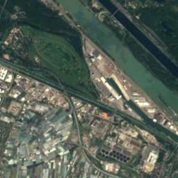
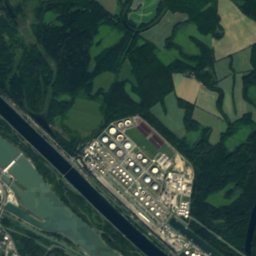
Kalter Gang from above
Nature nearbyAll of Austria


Satellite: Sentinel-2 cloudless 2016 by EOX IT Services GmbH · CC BY 4.0 · Contains modified Copernicus Sentinel data 2016
Summits nearbyMountains of Austria
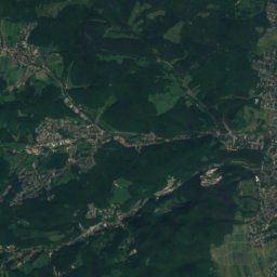
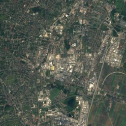
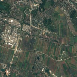
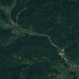
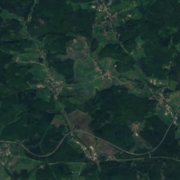
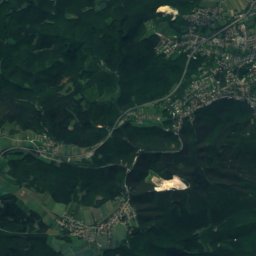
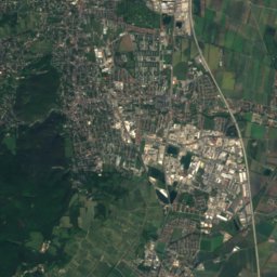
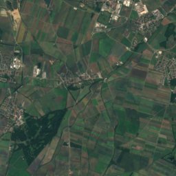
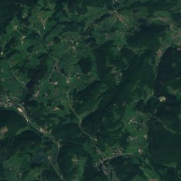
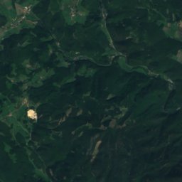
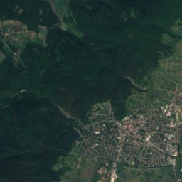
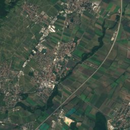
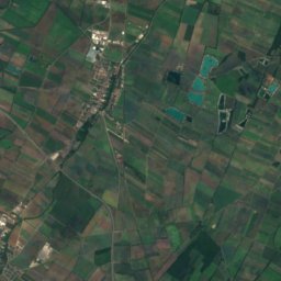
Satellite: Sentinel-2 cloudless 2016 by EOX IT Services GmbH · CC BY 4.0 · Contains modified Copernicus Sentinel data 2016
Satellite: Sentinel-2 cloudless 2016 by EOX IT Services GmbH · CC BY 4.0 · Contains modified Copernicus Sentinel data 2016
Satellite: Sentinel-2 cloudless 2016 by EOX IT Services GmbH · CC BY 4.0 · Contains modified Copernicus Sentinel data 2016


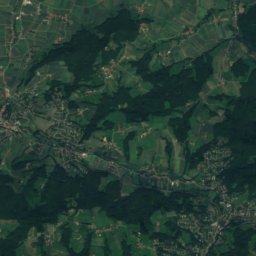
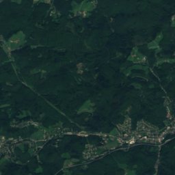
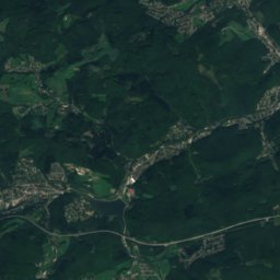
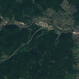
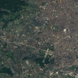
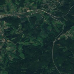
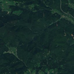
Satellite: Sentinel-2 cloudless 2016 by EOX IT Services GmbH · CC BY 4.0 · Contains modified Copernicus Sentinel data 2016
Stay nearby
Towns close by


Around here
Schwechat and around
Nature


Mountains
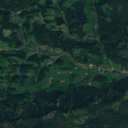
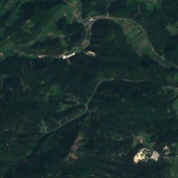
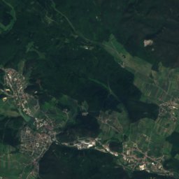
Satellite: Sentinel-2 cloudless 2016 by EOX IT Services GmbH · CC BY 4.0 · Contains modified Copernicus Sentinel data 2016
Mittagskogel, Lower Austria
862 m · Gutenstein Alps


Heritage


Museums

Satellite: Sentinel-2 cloudless 2016 by EOX IT Services GmbH · CC BY 4.0 · Contains modified Copernicus Sentinel data 2016


