

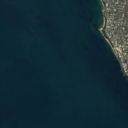
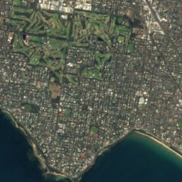
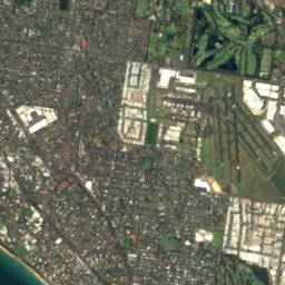
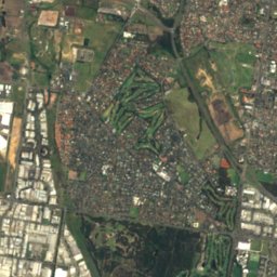
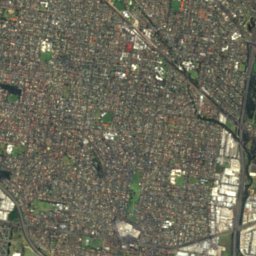
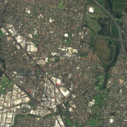
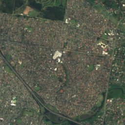



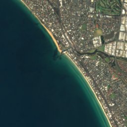
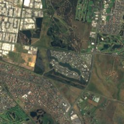
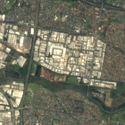




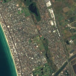
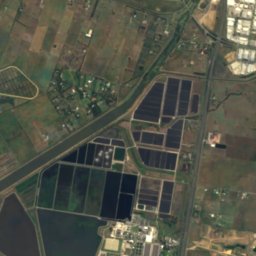
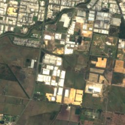
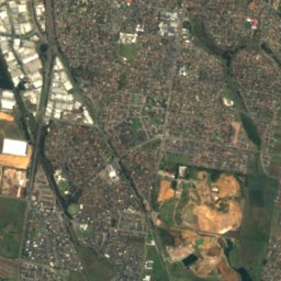





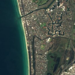
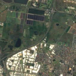
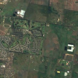
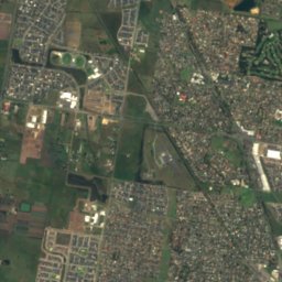





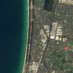
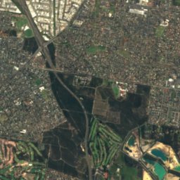
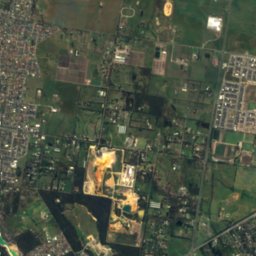
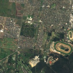




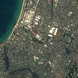
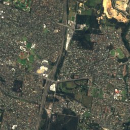
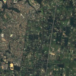
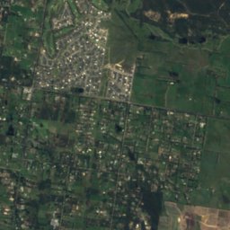
Satellite: Sentinel-2 cloudless 2016 by EOX IT Services GmbH · CC BY 4.0 · Contains modified Copernicus Sentinel data 2016

Photo: orderinchaos · CC BY-SA 3.0 · Wikimedia Commons
Kananook CreekReport this photo · linked, not stored
Kananook CreekKananook CreekReport this photo · linked, not stored

Photo: John O'Neill (jjron) You can contact me about this image, its re-use, or to make · Public domain · Wikimedia Commons
Mentone BeachReport this photo · linked, not stored
Mentone BeachMentone BeachReport this photo · linked, not stored
RiverFrankston East, Victoria
Patterson River
RiverBest Feb–Apr
Elevation–above sea level
Area–surface
Nearest townFrankston East7.5 km
38.07° S, 145.12° EUTC+11 · Australian Eastern Daylight Time
When to goFrankston East · weather score
Best timeFeb–Apr
October: high / low17° / 11°
River
Patterson River in brief
Patterson River is a river in Frankston East, Victoria, Australia.
The nearest town in the atlas is Frankston East, 7.5 km to the S, where the weather is best in February, March and April.
Weather nearby now
Forecast for Frankston East20°
Clear now
Today
23 Oct
28°
18°
Sat
24 Oct
21°
15°
2 mm
Sun
25 Oct
16°
10°
24 mm
Mon
26 Oct
14°
9°
1 mm
Tue
27 Oct
15°
9°
1 mm
Model run 00:00 UTCRefreshed several times a day
The course of the river
As mapped in OpenStreetMap, with the towns of the atlas along its banks.sourcemouth (or where the mapped line leaves the country)
When to go
Climate of Frankston EastThe best months around Patterson River
Month score in Frankston East
Comfort, dry days and sunshine · out of 10075
Jan
85
Feb
77
Mar
76
Apr
62
May
46
Jun
37
Jul
44
Aug
56
Sep
61
Oct
67
Nov
76
Dec
Map
Patterson River from above
Nature nearbyAll of Australia
Satellite: Sentinel-2 cloudless 2016 by EOX IT Services GmbH · CC BY 4.0 · Contains modified Copernicus Sentinel data 2016

Photo: John O'Neill (jjron) You can contact me about this image, its re-use, or to make · Public domain · Wikimedia CommonsReport this photo · linked, not stored


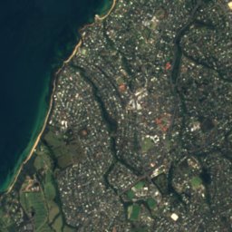
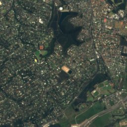
Satellite: Sentinel-2 cloudless 2016 by EOX IT Services GmbH · CC BY 4.0 · Contains modified Copernicus Sentinel data 2016

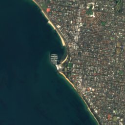
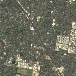
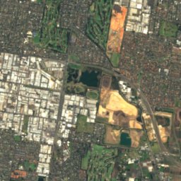
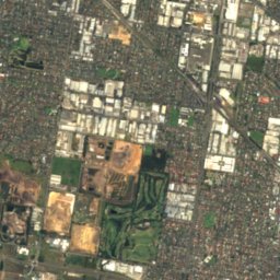
Satellite: Sentinel-2 cloudless 2016 by EOX IT Services GmbH · CC BY 4.0 · Contains modified Copernicus Sentinel data 2016
Satellite: Sentinel-2 cloudless 2016 by EOX IT Services GmbH · CC BY 4.0 · Contains modified Copernicus Sentinel data 2016
Stay nearby
Towns close by


Around here
Frankston East and around
Nature
Satellite: Sentinel-2 cloudless 2016 by EOX IT Services GmbH · CC BY 4.0 · Contains modified Copernicus Sentinel data 2016
Eumemmerring Creek
River

Mountains

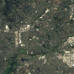
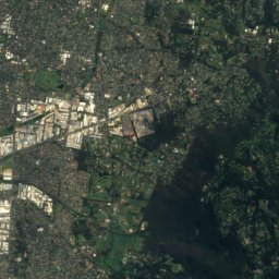
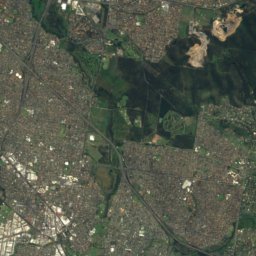
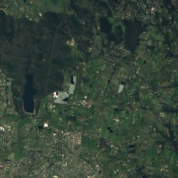
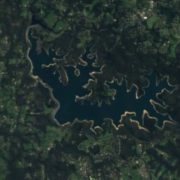
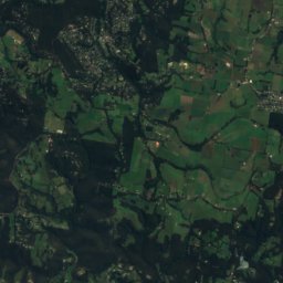
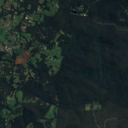
Satellite: Sentinel-2 cloudless 2016 by EOX IT Services GmbH · CC BY 4.0 · Contains modified Copernicus Sentinel data 2016
Mount Majestic
366 m

Photo: Nick carson at English Wikipedia · Public domain · Wikimedia CommonsReport this photo · linked, not stored
Doncaster Hill
120 m
Heritage


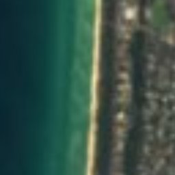
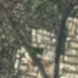
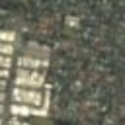




Satellite: Sentinel-2 cloudless 2016 by EOX IT Services GmbH · CC BY 4.0 · Contains modified Copernicus Sentinel data 2016
Stokesay
listed on the Victorian Heritage Register







Satellite: Sentinel-2 cloudless 2016 by EOX IT Services GmbH · CC BY 4.0 · Contains modified Copernicus Sentinel data 2016
Edithvale-Seaford Wetlands
Ramsar site · 2001
Satellite: Sentinel-2 cloudless 2016 by EOX IT Services GmbH · CC BY 4.0 · Contains modified Copernicus Sentinel data 2016
Westerfield
listed on the Victorian Heritage Register · 1924
Museums

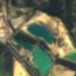
Satellite: Sentinel-2 cloudless 2016 by EOX IT Services GmbH · CC BY 4.0 · Contains modified Copernicus Sentinel data 2016
McClelland Gallery and Sculpture Park
Sculpture garden · 1971


