


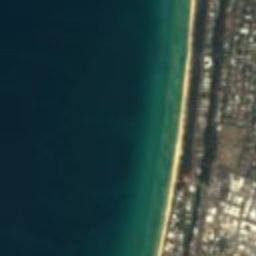





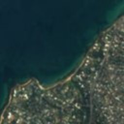
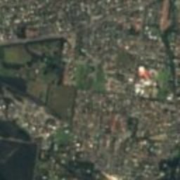

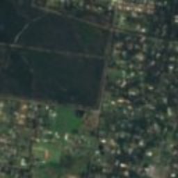
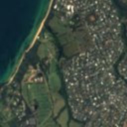
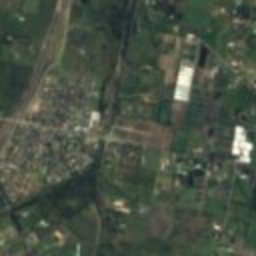
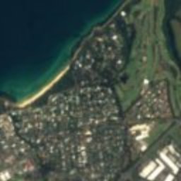
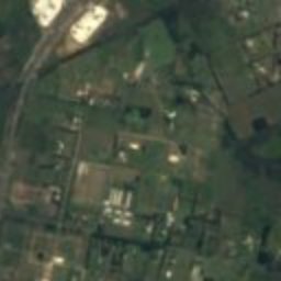
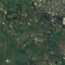
Satellite: Sentinel-2 cloudless 2016 by EOX IT Services GmbH · CC BY 4.0 · Contains modified Copernicus Sentinel data 2016
heritage siteFrankston East, Victoria
Westerfield
listed on the Victorian Heritage RegisterBuilt 1924
Typeheritage siteArts and Crafts movement
Built1924by Harold Desbrowe-Annear
Best monthsFeb–Aprweather in Frankston East
38.18° S, 145.16° EUTC+11 · Australian Eastern Daylight Time
Standing for102 years
built 1924today 2026
When to goFrankston East · weather score
Best timeFeb–Apr
October: high / low17° / 11°
iAbout
Westerfield in brief
Westerfield is a heritage site in Frankston East, Victoria, Australia.
It holds the designation listed on the Victorian Heritage Register.
The heritage site dates from 1924, was designed by Harold Desbrowe-Annear and is built in the Arts and Crafts movement style.
For a visit, the weather in Frankston East is best in February, March and April; in October afternoons average 17°.
Facts
- Type
- heritage site
- Designation
- listed on the Victorian Heritage Register
- Built
- 1924
- Architect
- Harold Desbrowe-Annear
- Style
- Arts and Crafts movement
- Nearest town
- Frankston East
- Region
- Victoria
- Coordinates
- -38.17720, 145.15700
iiLocation
Where to find it
iiiWhen to visit
Climate guideWeather in Frankston East
Month score for sightseeing
Best Feb–Apr75
Jan
85
Feb
77
Mar
76
Apr
62
May
46
Jun
37
Jul
44
Aug
56
Sep
61
Oct
67
Nov
76
Dec
ivNearby
All monuments in AustraliaMore heritage close by
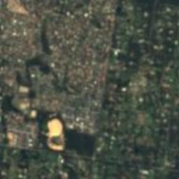
Satellite: Sentinel-2 cloudless 2016 by EOX IT Services GmbH · CC BY 4.0 · Contains modified Copernicus Sentinel data 2016
Mulberry Hill
1.4 km SE
listed on the Victorian Heritage Register
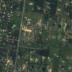
Satellite: Sentinel-2 cloudless 2016 by EOX IT Services GmbH · CC BY 4.0 · Contains modified Copernicus Sentinel data 2016
Bruce Manor
1.6 km N
listed on the Victorian Heritage Register
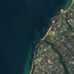
Satellite: Sentinel-2 cloudless 2016 by EOX IT Services GmbH · CC BY 4.0 · Contains modified Copernicus Sentinel data 2016
Ballam Park
2.8 km N
listed on the Victorian Heritage Register
Satellite: Sentinel-2 cloudless 2016 by EOX IT Services GmbH · CC BY 4.0 · Contains modified Copernicus Sentinel data 2016
Sages Cottage
2.9 km SW
listed on the Victorian Heritage Register
Satellite: Sentinel-2 cloudless 2016 by EOX IT Services GmbH · CC BY 4.0 · Contains modified Copernicus Sentinel data 2016
Round House, Frankston East
4.9 km NW
listed on the Victorian Heritage Register
Satellite: Sentinel-2 cloudless 2016 by EOX IT Services GmbH · CC BY 4.0 · Contains modified Copernicus Sentinel data 2016
Gumnuts Cottage
5.0 km NW
listed on the Victorian Heritage Register
Around here
Frankston East and around

Nature


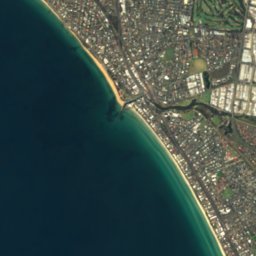
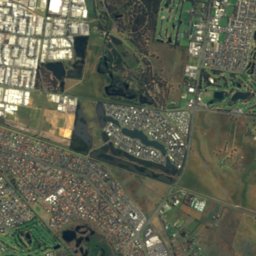
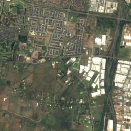


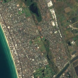
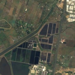



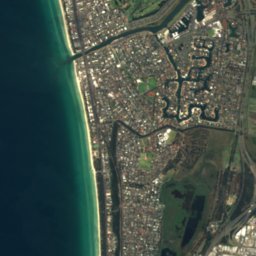
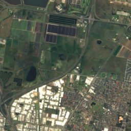
Satellite: Sentinel-2 cloudless 2016 by EOX IT Services GmbH · CC BY 4.0 · Contains modified Copernicus Sentinel data 2016
Patterson River
River
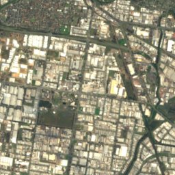
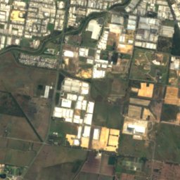
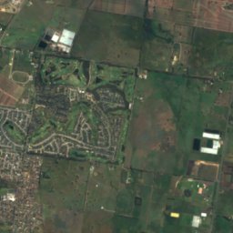
Satellite: Sentinel-2 cloudless 2016 by EOX IT Services GmbH · CC BY 4.0 · Contains modified Copernicus Sentinel data 2016
Eumemmerring Creek
River
Mountains

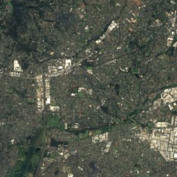
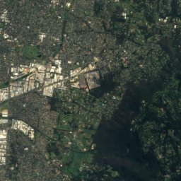
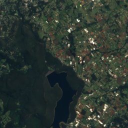
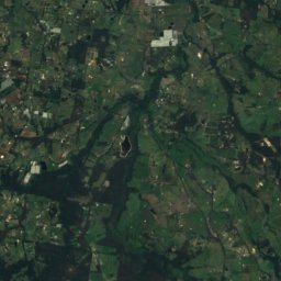
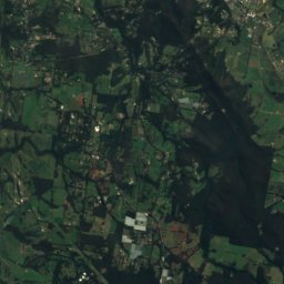
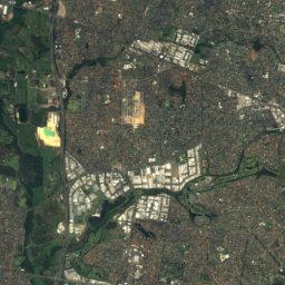
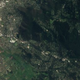
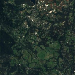
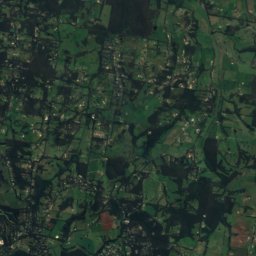
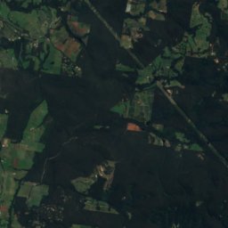
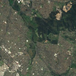
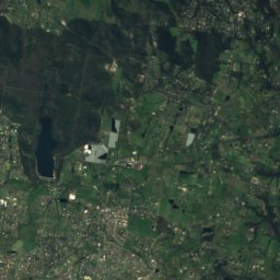
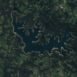
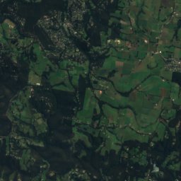
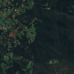
Satellite: Sentinel-2 cloudless 2016 by EOX IT Services GmbH · CC BY 4.0 · Contains modified Copernicus Sentinel data 2016
Mount Majestic
366 m

Photo: Nick carson at English Wikipedia · Public domain · Wikimedia CommonsReport this photo · linked, not stored
Doncaster Hill
120 m
Heritage






Satellite: Sentinel-2 cloudless 2016 by EOX IT Services GmbH · CC BY 4.0 · Contains modified Copernicus Sentinel data 2016
Stokesay
listed on the Victorian Heritage Register







Satellite: Sentinel-2 cloudless 2016 by EOX IT Services GmbH · CC BY 4.0 · Contains modified Copernicus Sentinel data 2016
Edithvale-Seaford Wetlands
Ramsar site · 2001

Photo: Beleurahouseandgarden · CC BY-SA 4.0 · Wikimedia CommonsReport this photo · linked, not stored
Beleura
listed on the Victorian Heritage Register
Museums


Satellite: Sentinel-2 cloudless 2016 by EOX IT Services GmbH · CC BY 4.0 · Contains modified Copernicus Sentinel data 2016
McClelland Gallery and Sculpture Park
Sculpture garden · 1971


