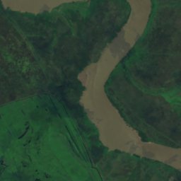
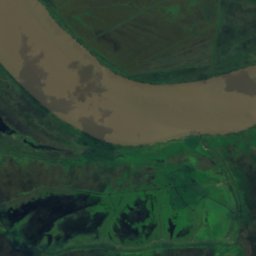
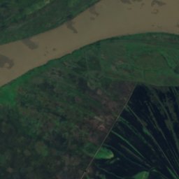
Satellite: Sentinel-2 cloudless 2016 by EOX IT Services GmbH · CC BY 4.0 · Contains modified Copernicus Sentinel data 2016
IslandBaradero, Buenos Aires
Isla Vizcaíno
Island4 m elevationBest May · Aug–Sep
Elevation4 mabove sea level
Area–surface
Nearest townBaradero24 km
33.79° S, 59.24° WElevation 4 mUTC−3 · Argentina Standard Time
When to goBaradero · weather score
Best timeMay · Aug–Sep
October: high / low23° / 12°
Island
Isla Vizcaíno in brief
Isla Vizcaíno is an island in Baradero, Buenos Aires, Argentina.
It lies at 4 m above sea level.
The nearest town in the atlas is Baradero, 24 km to the W, where the weather is best in May, August and September.
Weather nearby now
Forecast for Baradero23°
Rain now
Today
22 Oct
23°
15°
11 mm
Fri
23 Oct
24°
17°
1 mm
Sat
24 Oct
21°
16°
2 mm
Sun
25 Oct
19°
11°
2 mm
Mon
26 Oct
20°
11°
Model run 00:00 UTCRefreshed several times a day
Map
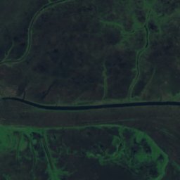
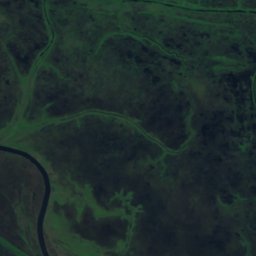
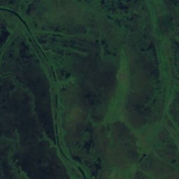
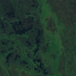
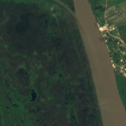
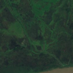
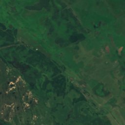
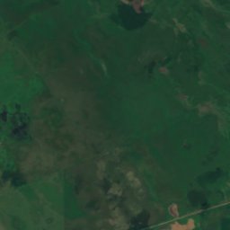
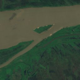
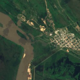
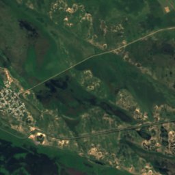
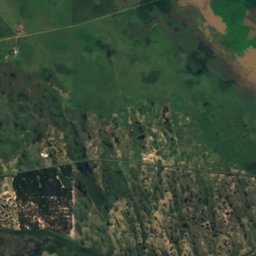
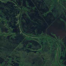
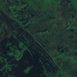
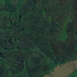
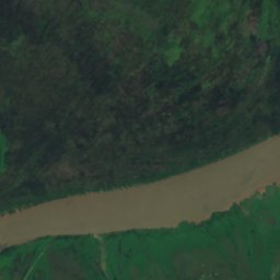
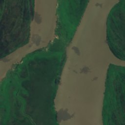
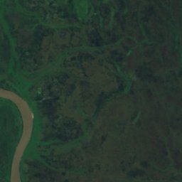
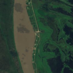
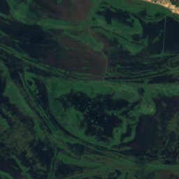
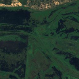
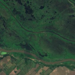
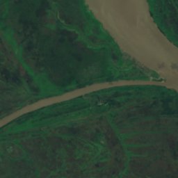
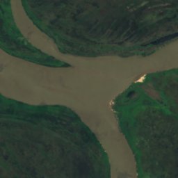
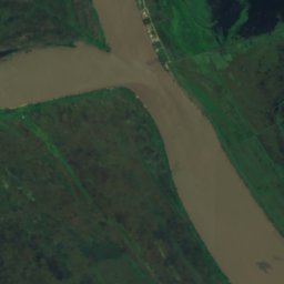
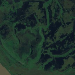
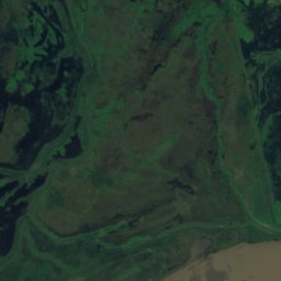
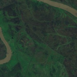
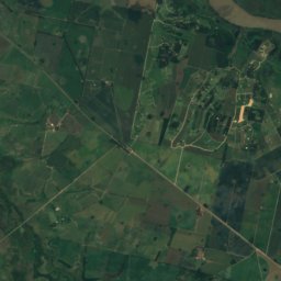
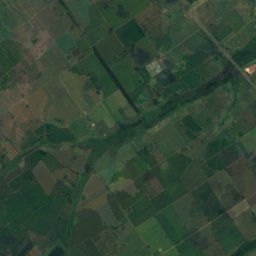
Isla Vizcaíno from above
Nature nearbyAll of Argentina
Satellite: Sentinel-2 cloudless 2016 by EOX IT Services GmbH · CC BY 4.0 · Contains modified Copernicus Sentinel data 2016
Satellite: Sentinel-2 cloudless 2016 by EOX IT Services GmbH · CC BY 4.0 · Contains modified Copernicus Sentinel data 2016
Satellite: Sentinel-2 cloudless 2016 by EOX IT Services GmbH · CC BY 4.0 · Contains modified Copernicus Sentinel data 2016
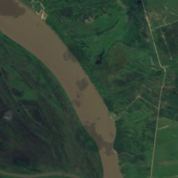
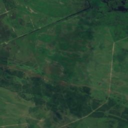
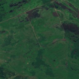
Satellite: Sentinel-2 cloudless 2016 by EOX IT Services GmbH · CC BY 4.0 · Contains modified Copernicus Sentinel data 2016
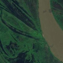
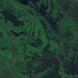
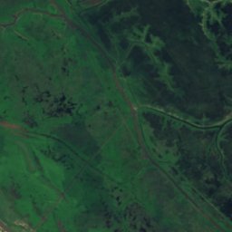
Satellite: Sentinel-2 cloudless 2016 by EOX IT Services GmbH · CC BY 4.0 · Contains modified Copernicus Sentinel data 2016
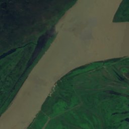
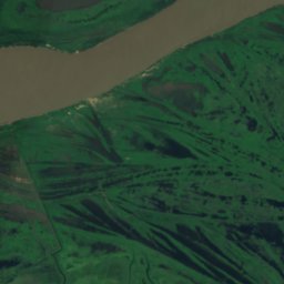
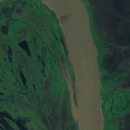
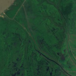
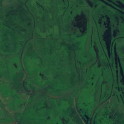
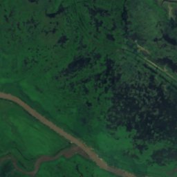
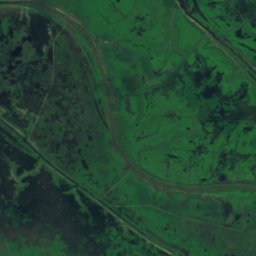
Satellite: Sentinel-2 cloudless 2016 by EOX IT Services GmbH · CC BY 4.0 · Contains modified Copernicus Sentinel data 2016
Stay nearby
Towns close by

Photo: Loco085 (Leandro Kibisz) · CC BY-SA 2.5 · Wikimedia CommonsReport this photo · linked, not stored
Baradero
Buenos Aires · 24 km W
23°Oct high
7wet days
81score
Around here
Baradero and around
Photo: Loco085 (Leandro Kibisz) · CC BY-SA 2.5 · Wikimedia CommonsReport this photo · linked, not stored
Baradero
Buenos Aires · Argentina
May · Aug–Sepbest months
15°July high
37 maltitude
Nature
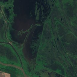
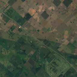
Satellite: Sentinel-2 cloudless 2016 by EOX IT Services GmbH · CC BY 4.0 · Contains modified Copernicus Sentinel data 2016
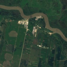
Isla Grande, Buenos Aires
Island · 4 m
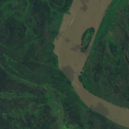
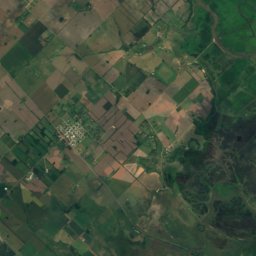
Satellite: Sentinel-2 cloudless 2016 by EOX IT Services GmbH · CC BY 4.0 · Contains modified Copernicus Sentinel data 2016
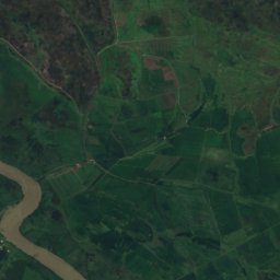
Isla de los Laureles
Island · 4 m
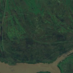
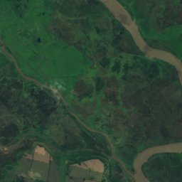
Satellite: Sentinel-2 cloudless 2016 by EOX IT Services GmbH · CC BY 4.0 · Contains modified Copernicus Sentinel data 2016
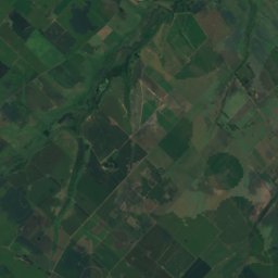
Isla Romero, Buenos Aires
Island · 2 m
Museums


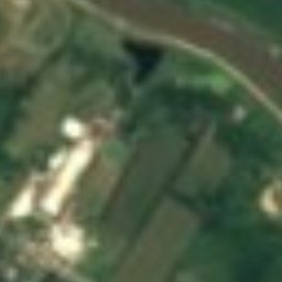

Satellite: Sentinel-2 cloudless 2016 by EOX IT Services GmbH · CC BY 4.0 · Contains modified Copernicus Sentinel data 2016
Aeronautical Museum Baradero Vicente 'Tito' Churín
1996