


















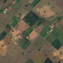
Satellite: Sentinel-2 cloudless 2016 by EOX IT Services GmbH · CC BY 4.0 · Contains modified Copernicus Sentinel data 2016
MuseumBaradero, Buenos Aires
Aeronautical Museum Baradero Vicente 'Tito' Churín
MuseumFounded 1996
KindMuseumBaradero
Visitors a year–
Founded1996
Best monthsMay · Aug–SepBaradero
33.82° S, 59.49° WUTC−3 · Argentina Standard Time
When to goBaradero · weather score
Best timeMay · Aug–Sep
October: high / low23° / 12°
About
Aeronautical Museum Baradero Vicente 'Tito' Churín in brief
Aeronautical Museum Baradero Vicente 'Tito' Churín is a museum in Baradero, Buenos Aires, Argentina.
It was founded in 1996.
For the trip, the weather in Baradero is best in May, August and September; in October afternoons average 23°.
Facts
- Kind
- Museum
- Founded
- 1996
- Town
- Baradero
- Region
- Buenos Aires
- Coordinates
- 33.81764° S, 59.49308° W
Location
Where to find it
When to visit
Climate guideWeather in Baradero
Month score for sightseeing
Best May · Aug–SepFestivals in Baradero
- Jan
- Feb1
- Mar
- Apr
- May
- Jun
- Jul
- Aug
- Sep
- Oct
- Nov
- Dec
February
- Rock en BaraderoMusic festival
Only the month is given: the exact dates change from year to year.
Around here
Baradero and around

Photo: Loco085 (Leandro Kibisz) · CC BY-SA 2.5 · Wikimedia CommonsReport this photo · linked, not stored
Baradero
Buenos Aires · Argentina
May · Aug–Sepbest months
15°July high
37 maltitude
Nature

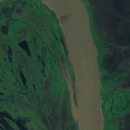


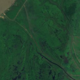
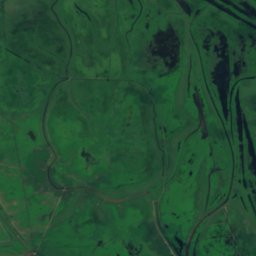


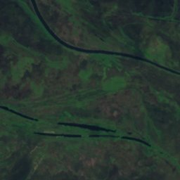
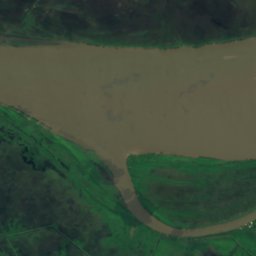
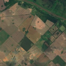
Satellite: Sentinel-2 cloudless 2016 by EOX IT Services GmbH · CC BY 4.0 · Contains modified Copernicus Sentinel data 2016
Isla Grande, Buenos Aires
Island · 4 m

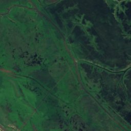
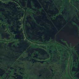


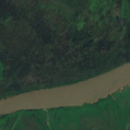
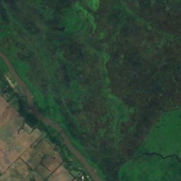
Satellite: Sentinel-2 cloudless 2016 by EOX IT Services GmbH · CC BY 4.0 · Contains modified Copernicus Sentinel data 2016
Isla de los Laureles
Island · 4 m

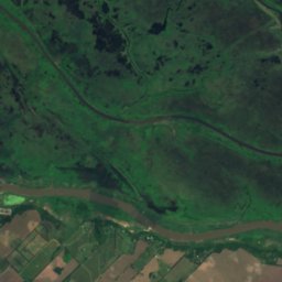
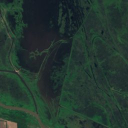
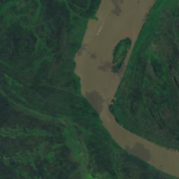
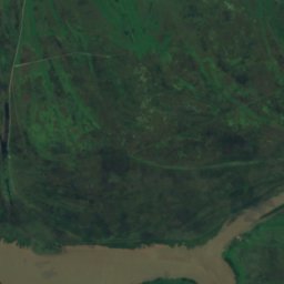
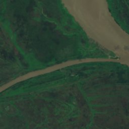
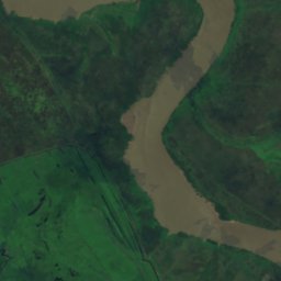

Satellite: Sentinel-2 cloudless 2016 by EOX IT Services GmbH · CC BY 4.0 · Contains modified Copernicus Sentinel data 2016
Isla Romero, Buenos Aires
Island · 2 m