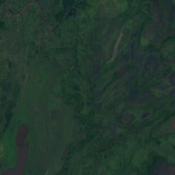
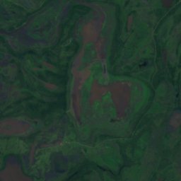
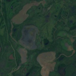
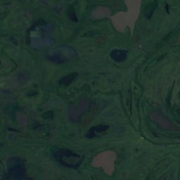
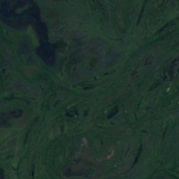
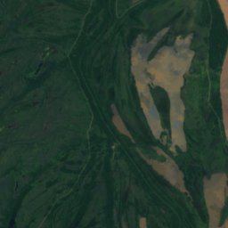
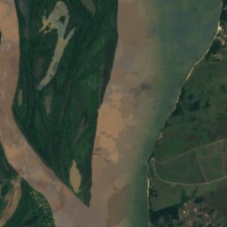
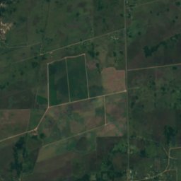
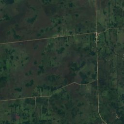
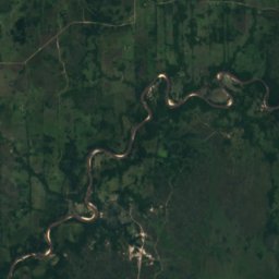
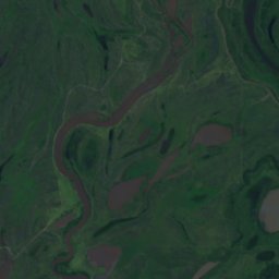
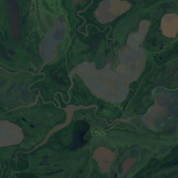
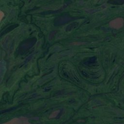
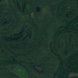
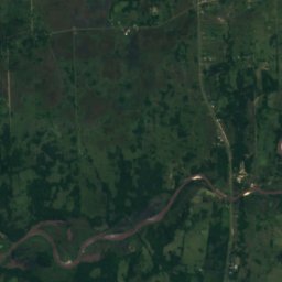
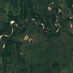
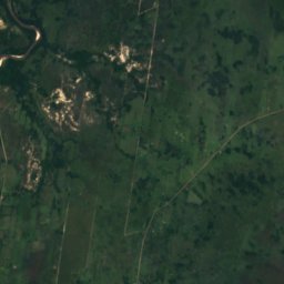
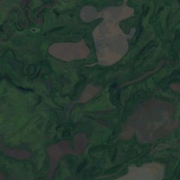
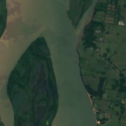
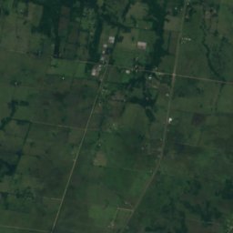
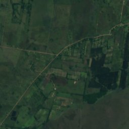
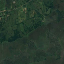
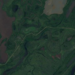
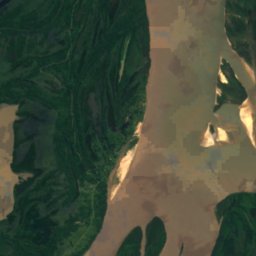
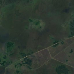
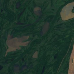
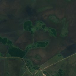
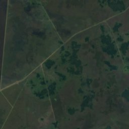
Satellite: Sentinel-2 cloudless 2016 by EOX IT Services GmbH · CC BY 4.0 · Contains modified Copernicus Sentinel data 2016
IslandEmpedrado, Corrientes
Isla Caballada
Island44 m elevationBest Jul–Sep
Elevation44 mabove sea level
Area6.3 km²surface
Nearest townEmpedrado5.9 km
27.90° S, 58.83° WElevation 44 mUTC−3 · Argentina Standard Time
When to goEmpedrado · weather score
Best timeJul–Sep
October: high / low26° / 17°
Island
Isla Caballada in brief
Isla Caballada is an island in Empedrado, Corrientes, Argentina.
It lies at 44 m above sea level and covers about 6.3 km².
The nearest town in the atlas is Empedrado, 5.9 km to the SE, where the weather is best in July, August and September.
Weather nearby now
Forecast for Empedrado23°
Rain now
Today
22 Oct
27°
19°
37 mm
Fri
23 Oct
31°
21°
2 mm
Sat
24 Oct
26°
21°
15 mm
Sun
25 Oct
23°
17°
1 mm
Mon
26 Oct
24°
14°
Model run 00:00 UTCRefreshed several times a day
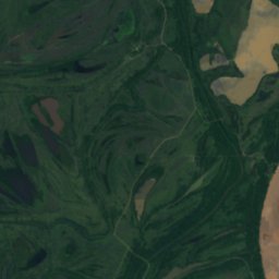
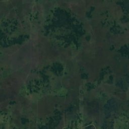
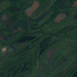
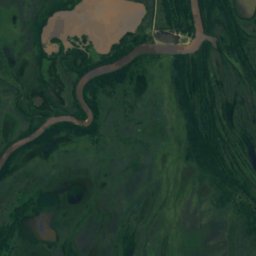
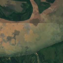
The island from above
6.3 km² · coastline as mapped in OpenStreetMapWhen to go
Climate of EmpedradoThe best months around Isla Caballada
Month score in Empedrado
Comfort, dry days and sunshine · out of 10046
Jan
54
Feb
60
Mar
73
Apr
80
May
82
Jun
89
Jul
91
Aug
84
Sep
68
Oct
61
Nov
50
Dec
Map
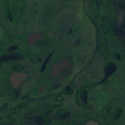
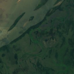
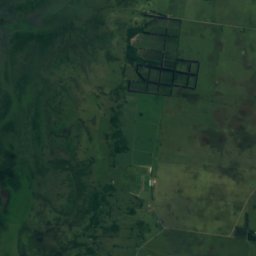
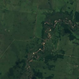
Isla Caballada from above
Nature nearbyAll of Argentina
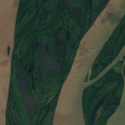
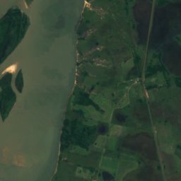
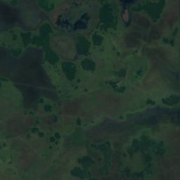
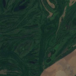
Satellite: Sentinel-2 cloudless 2016 by EOX IT Services GmbH · CC BY 4.0 · Contains modified Copernicus Sentinel data 2016
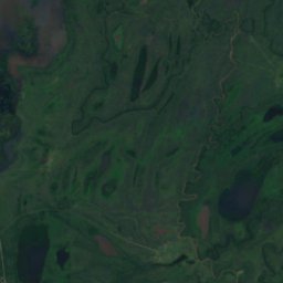
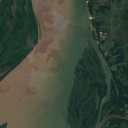
Satellite: Sentinel-2 cloudless 2016 by EOX IT Services GmbH · CC BY 4.0 · Contains modified Copernicus Sentinel data 2016
Satellite: Sentinel-2 cloudless 2016 by EOX IT Services GmbH · CC BY 4.0 · Contains modified Copernicus Sentinel data 2016
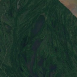
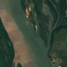
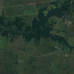
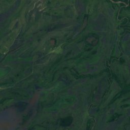
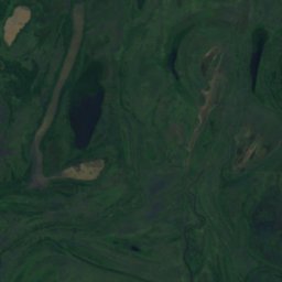
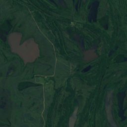
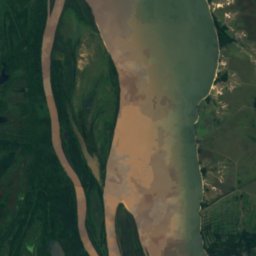
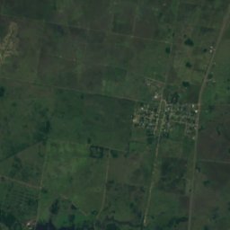
Satellite: Sentinel-2 cloudless 2016 by EOX IT Services GmbH · CC BY 4.0 · Contains modified Copernicus Sentinel data 2016
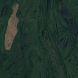
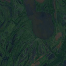
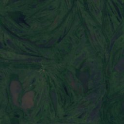
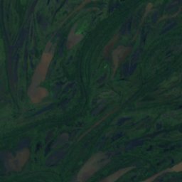
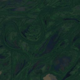
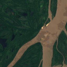
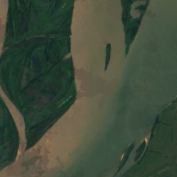
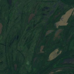
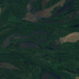
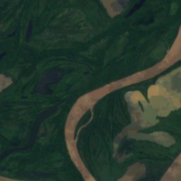
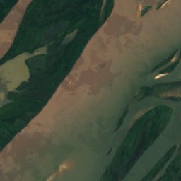
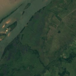
Satellite: Sentinel-2 cloudless 2016 by EOX IT Services GmbH · CC BY 4.0 · Contains modified Copernicus Sentinel data 2016
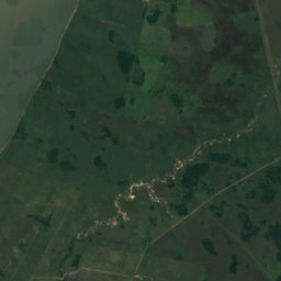
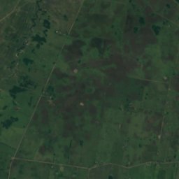
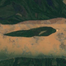
Satellite: Sentinel-2 cloudless 2016 by EOX IT Services GmbH · CC BY 4.0 · Contains modified Copernicus Sentinel data 2016
Around here
Empedrado and around

Nature
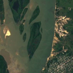
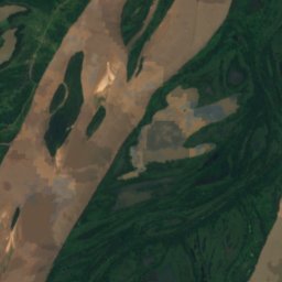
Satellite: Sentinel-2 cloudless 2016 by EOX IT Services GmbH · CC BY 4.0 · Contains modified Copernicus Sentinel data 2016
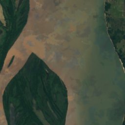
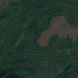
Laguna Cicuta
Lake · 45 m
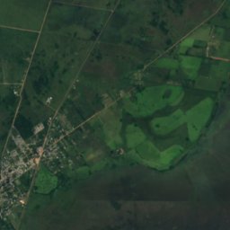
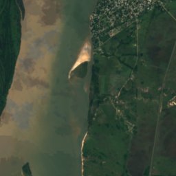
Satellite: Sentinel-2 cloudless 2016 by EOX IT Services GmbH · CC BY 4.0 · Contains modified Copernicus Sentinel data 2016
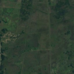
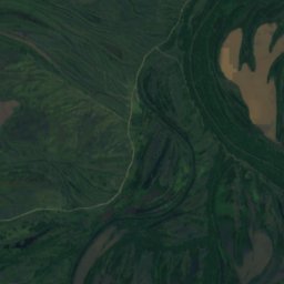
Isla Montenegro
Island · 45 m
Heritage




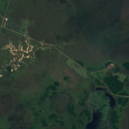
Satellite: Sentinel-2 cloudless 2016 by EOX IT Services GmbH · CC BY 4.0 · Contains modified Copernicus Sentinel data 2016
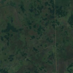
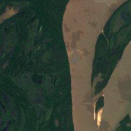
Jaaukanigás
Ramsar site