


Argentina
Corrientes
Corrientes is one of the 24 regions of Argentina; its largest place is Corrientes.
Best timeJun–Aug
Best weather in OctoberPaso de los Libres 72
October: highs25° – 27°
Rain this month, on average152mm
Mean of its 20 best-known places. Best: Jun–Aug.
Corrientes at a glance
The atlas follows 624 places here month by month, with 0 mountains and 11 monuments; across the most visited of them, the best months are June, July and August.
When to go to Corrientes
The best places of every month here, and the average climate of the best-known ones.
| Jan | Feb | Mar | Apr | May | Jun | Jul | Aug | Sep | Oct | Nov | Dec | |
|---|---|---|---|---|---|---|---|---|---|---|---|---|
| Score | 46 | 53 | 60 | 72 | 77 | 78 | 84 | 84 | 78 | 67 | 62 | 50 |
| High | 31° | 30° | 29° | 25° | 21° | 19° | 19° | 21° | 23° | 26° | 28° | 30° |
| Low | 22° | 21° | 20° | 17° | 14° | 12° | 11° | 12° | 13° | 16° | 18° | 21° |
| Rain (mm) | 150 | 154 | 158 | 192 | 106 | 82 | 60 | 51 | 96 | 152 | 163 | 136 |
Places in Corrientes
The best-known places with their score this month; every town and village is in the A to Z list below.
65OctoberCorrientes
430k people
27° / 17°149 mm
 69October
Goya
99k people
26° / 16°126 mm
72OctoberPaso de los Libres
54k people
25° / 15°143 mm
70OctoberMercedes
45k people
25° / 15°145 mm
71OctoberCuruzú Cuatiá
44k people
25° / 15°133 mm
 72October
Esquina
35k people
25° / 15°124 mm
 63October
Santo Tomé
32k people
26° / 16°185 mm
 66October
Saladas
22k people
26° / 16°153 mm
25 districts, each with all of its towns and villages
Departamento de Bella Vista16 places · Bella Vista
Departamento de Berón de Astrada5 places · 2,826 · Berón de Astrada
Departamento de Capital9 places · 430k · Corrientes
Departamento de Concepción32 places · 20k · Concepción

Departamento de Curuzú Cuatiá43 places · 53k · Curuzú Cuatiá

Departamento de Empedrado32 places · 23k · Empedrado

Departamento de Esquina39 places · 39k · Esquina

Departamento de General Alvear7 places · 8,816 · Alvear

Departamento de General Paz31 places · 17k · Itá Ibaté

Departamento de Goya75 places · 99k · Goya

Departamento de Itatí11 places · 12k · Itatí

Departamento de Ituzaingó25 places · 31k · Ituzaingó

Departamento de Lavalle31 places · 42k · Lavalle
Departamento de Mburucuyá7 places · 12k · Mburucuyá

Departamento de Mercedes33 places · 48k · Mercedes
Departamento de Monte Caseros24 places · 45k · Monte Caseros

Departamento de Paso de los Libres22 places · 60k · Paso de los Libres

Departamento de Saladas18 places · 27k · Saladas
Departamento de San Cosme7 places · 15k · San Cosme
Departamento de San Luis del Palmar34 places · 21k · San Luis del Palmar

Departamento de San Martín19 places · 11k · La Cruz
Departamento de San Miguel8 places · 13k · San Miguel
Departamento de San Roque20 places · 5,934 · Chavarría

Departamento de Santo Tomé33 places · 70k · Santo Tomé

Departamento de Sauce11 places · 10k · Sauce
More towns and villages of Corrientes · 32
Albardones EsteArroyo GonzálezCampo GrandeColonia EchevarríaColonia FerréColonia GotussoColonia Juan B. CabralColonia LaurelColonia Mercedes CossioColonia PairiríColonia PandoColonia ProgresoColonia San JoaquínColonia SauceFronteraGalarcitaLoma AltaLoma AltaLoma VillanuevaMalvinas SurPago AlegrePago de los DeseosParanacitoPasitoRincón de SotoRincón de VencesRincón de ZalazarRincón Ombú ChicoRincón Tranquera GeneralSan LorencitoSanto DomingoTimbó Corá
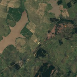
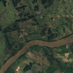
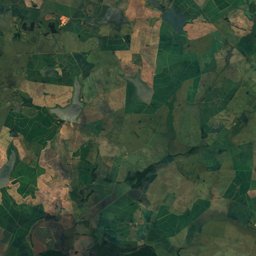
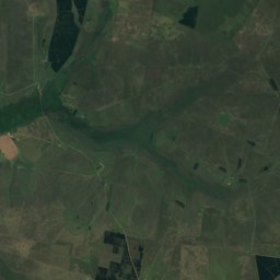
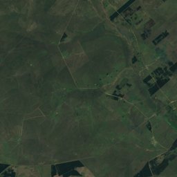
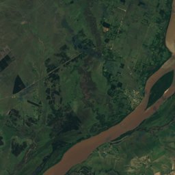
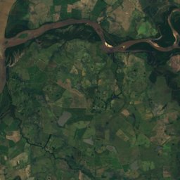
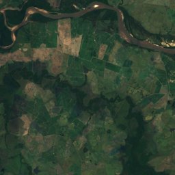
Corrientes from above
Every place scored for the month you pick: comfortable temperatures, dry days and clear skies.
OctoberMonth scores for Corrientes
Photo: Loco085 (Leandro Kibisz) · CC BY-SA 2.5 · Wikimedia CommonsReport this photo · linked, not stored
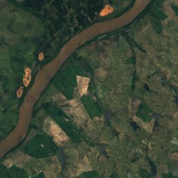
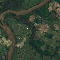
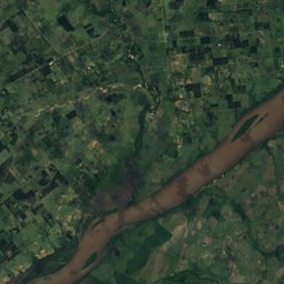
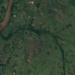
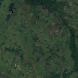
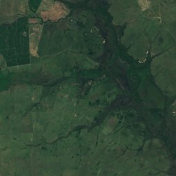
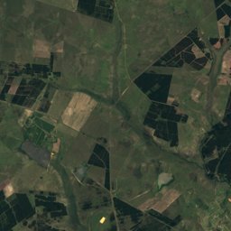
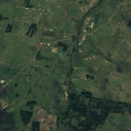
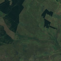
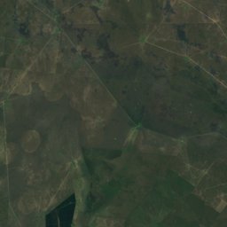
Satellite: Sentinel-2 cloudless 2016 by EOX IT Services GmbH · CC BY 4.0 · Contains modified Copernicus Sentinel data 2016
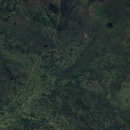
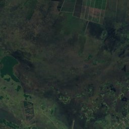
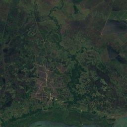
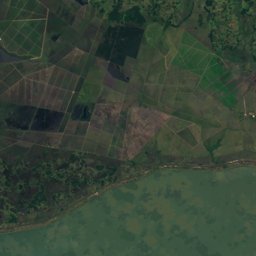
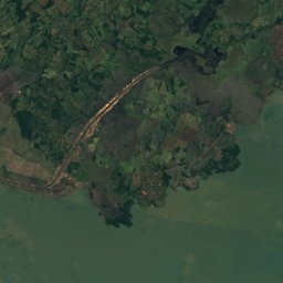
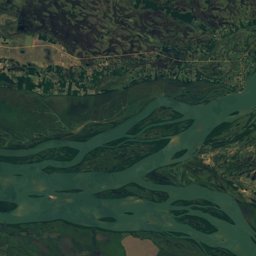
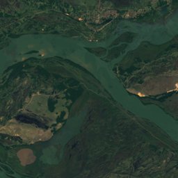
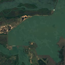
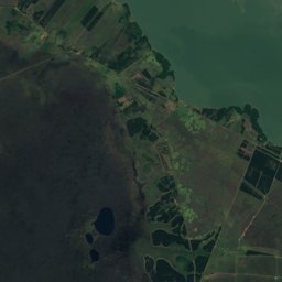
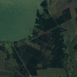
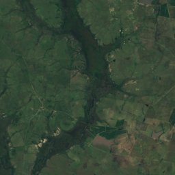
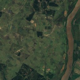
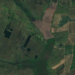
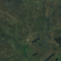
Satellite: Sentinel-2 cloudless 2016 by EOX IT Services GmbH · CC BY 4.0 · Contains modified Copernicus Sentinel data 2016
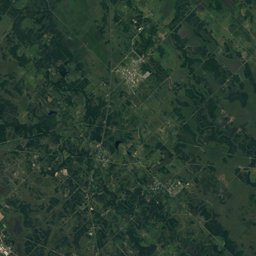
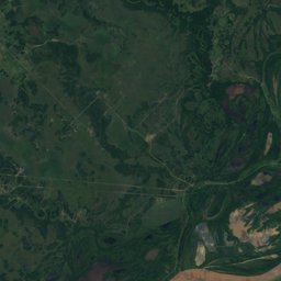
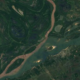
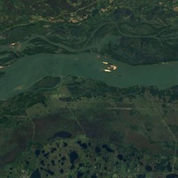
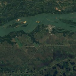
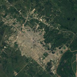
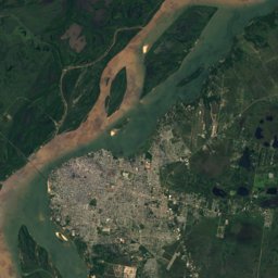
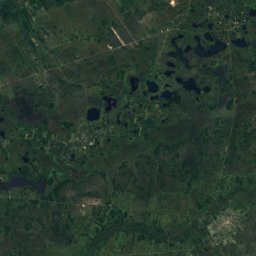
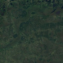
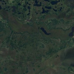
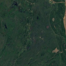
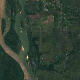
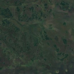
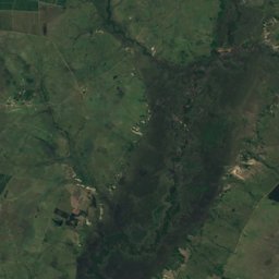
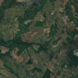
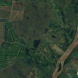
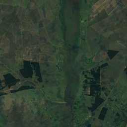
Satellite: Sentinel-2 cloudless 2016 by EOX IT Services GmbH · CC BY 4.0 · Contains modified Copernicus Sentinel data 2016
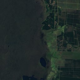
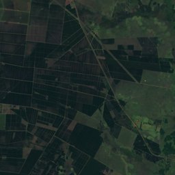
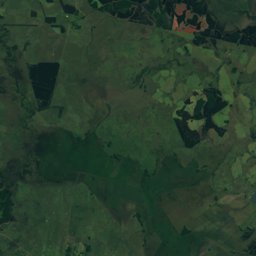
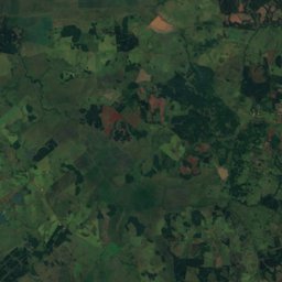
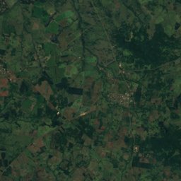
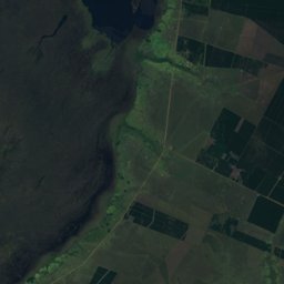
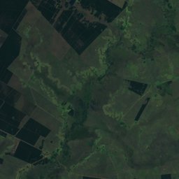
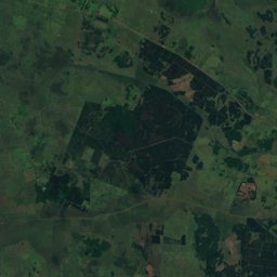
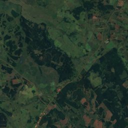
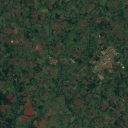
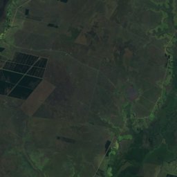
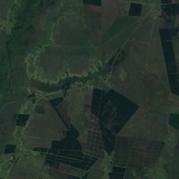
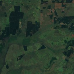
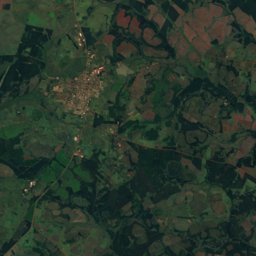
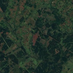
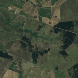
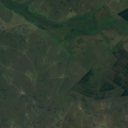
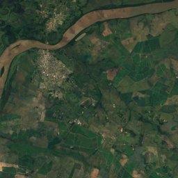
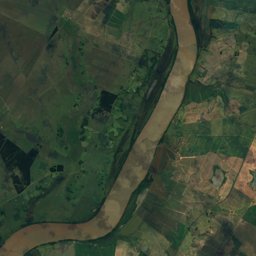
Satellite: Sentinel-2 cloudless 2016 by EOX IT Services GmbH · CC BY 4.0 · Contains modified Copernicus Sentinel data 2016
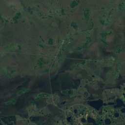
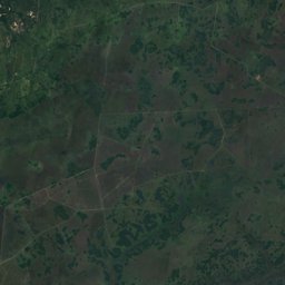
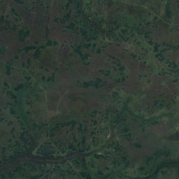
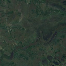
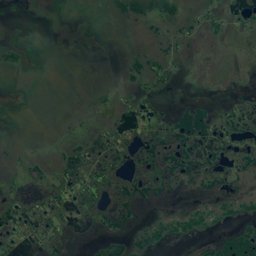
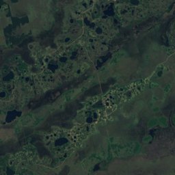
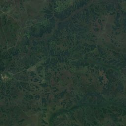
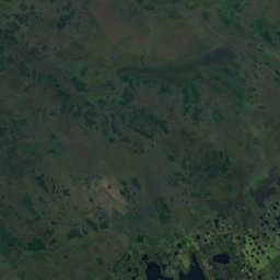
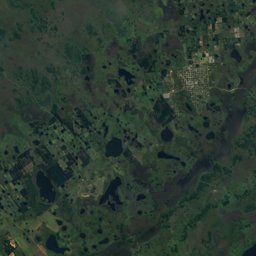
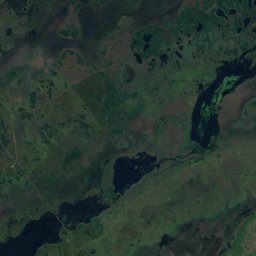
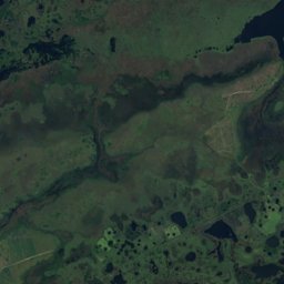
Satellite: Sentinel-2 cloudless 2016 by EOX IT Services GmbH · CC BY 4.0 · Contains modified Copernicus Sentinel data 2016
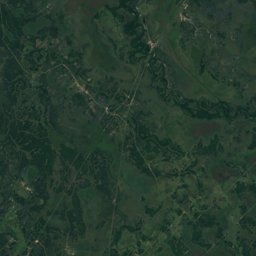
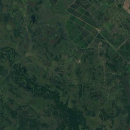
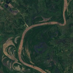
Satellite: Sentinel-2 cloudless 2016 by EOX IT Services GmbH · CC BY 4.0 · Contains modified Copernicus Sentinel data 2016

Photo: Phillip Capper from Wellington, New Zealand · CC BY 2.0 · Wikimedia CommonsReport this photo · linked, not stored


Nature in Corrientes


Wildlife in October
The birds and mammals of Argentina seen most this month, compared with the rest of their year.


Outdoors in Corrientes
Culture in Corrientes

Teatro Juan de VeraBuilt 1907 · Belle Époque

Yapeyú

Casa de Gobierno de CorrientesItalianate

Convento de San Francisco, CorrientesNeoclassical

Iglesia Santísima Cruz de los Milagroseclecticism

Casa del Gobernador Manuel Lagraña
Museum
Casa De La CulturaBuilt 1996Museum
Casa Molinas - museum of historical and archaeological siteWhat's on in Corrientes
Getting to Corrientes
Corrientes AirportCNQ · Corrientes
7.6 kmResistencia International AirportRES · Corrientes
22 kmFormosa National AirportFMA · Corrientes
152 kmCorrientes (FEC)Corrientes
1.2 kmPaso de los LibresPaso de los Libres
1.3 kmMercedesMercedes
1 kmSanto ToméSanto Tomé
2 kmTowns in Corrientes from A to Z
The 28 main places; every village is listed on its district's page.