Nature
Waters, ice and wild places of Antigua and Barbuda
Lakes, waterfalls, glaciers, national parks and mountain huts, each with its location, its size and the weather of the towns around it.
Lakes7with a page
Beaches10with a page
Islands47with a page
Rivers3with a page

Lakes
Lakes of Antigua and Barbuda
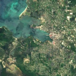
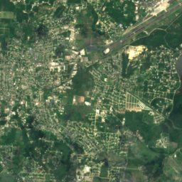
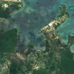
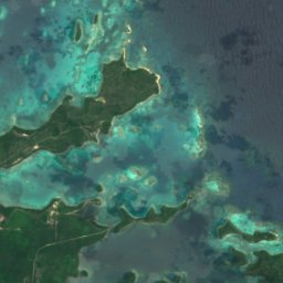
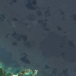
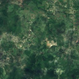
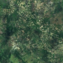
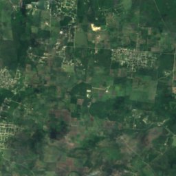
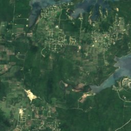
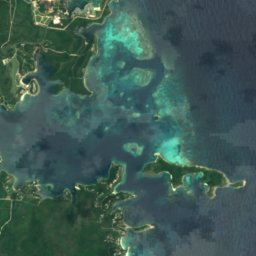
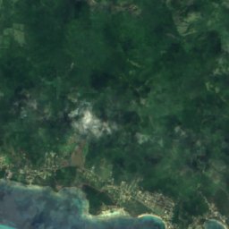
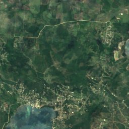
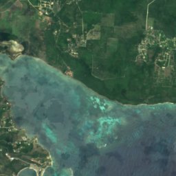
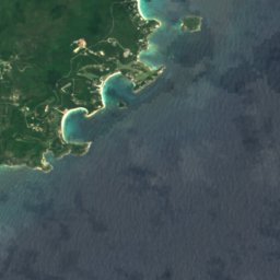
Satellite: Sentinel-2 cloudless 2016 by EOX IT Services GmbH · CC BY 4.0 · Contains modified Copernicus Sentinel data 2016
Potworks Dam
Betty's Hope, Saint Peter Parish
17 m
Satellite: Sentinel-2 cloudless 2016 by EOX IT Services GmbH · CC BY 4.0 · Contains modified Copernicus Sentinel data 2016
Bethesda Dam
Bethesda, Saint Paul Parish
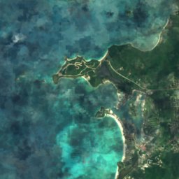
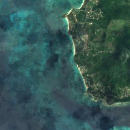
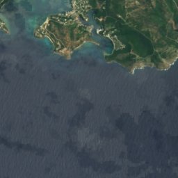
Satellite: Sentinel-2 cloudless 2016 by EOX IT Services GmbH · CC BY 4.0 · Contains modified Copernicus Sentinel data 2016
Rendezvous Bay
Falmouth, Saint Paul Parish

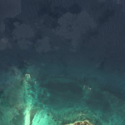

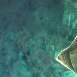
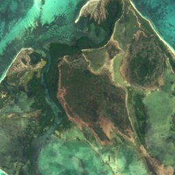
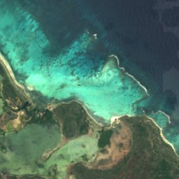

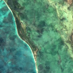
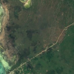
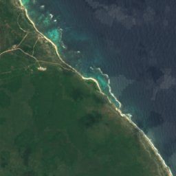
Satellite: Sentinel-2 cloudless 2016 by EOX IT Services GmbH · CC BY 4.0 · Contains modified Copernicus Sentinel data 2016
Cuffy Creek
Codrington, Barbuda
4 m
Satellite: Sentinel-2 cloudless 2016 by EOX IT Services GmbH · CC BY 4.0 · Contains modified Copernicus Sentinel data 2016
Goat Island Flush
Codrington, Barbuda
6 m

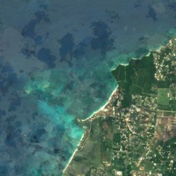
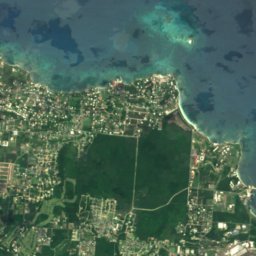

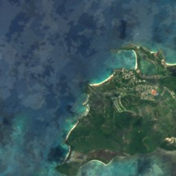
Satellite: Sentinel-2 cloudless 2016 by EOX IT Services GmbH · CC BY 4.0 · Contains modified Copernicus Sentinel data 2016
Runaway Bay
St. John's, Saint John Parish
Satellite: Sentinel-2 cloudless 2016 by EOX IT Services GmbH · CC BY 4.0 · Contains modified Copernicus Sentinel data 2016
Saint John's Harbour
Jacks Hill, Saint John Parish
Beaches
Beaches of Antigua and Barbuda


Satellite: Sentinel-2 cloudless 2016 by EOX IT Services GmbH · CC BY 4.0 · Contains modified Copernicus Sentinel data 2016
Pigeon Point, English Harbour
English Harbour Town, Saint Paul Parish


Satellite: Sentinel-2 cloudless 2016 by EOX IT Services GmbH · CC BY 4.0 · Contains modified Copernicus Sentinel data 2016
Ffryes Beach
Jolly Harbour, Saint Mary Parish
Satellite: Sentinel-2 cloudless 2016 by EOX IT Services GmbH · CC BY 4.0 · Contains modified Copernicus Sentinel data 2016
Runaway Beach
St. John's, Saint John Parish
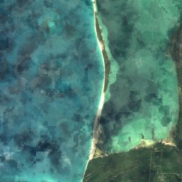
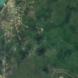
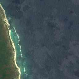
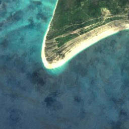
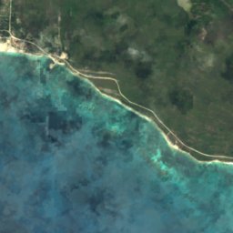
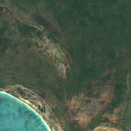
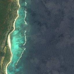
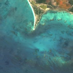
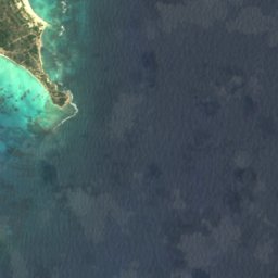
Satellite: Sentinel-2 cloudless 2016 by EOX IT Services GmbH · CC BY 4.0 · Contains modified Copernicus Sentinel data 2016
Cocoa Point Beach
Barbuda Parish, Barbuda
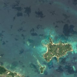
Satellite: Sentinel-2 cloudless 2016 by EOX IT Services GmbH · CC BY 4.0 · Contains modified Copernicus Sentinel data 2016
Devils Bridge
Willikies, Saint Philip Parish
1 m
Satellite: Sentinel-2 cloudless 2016 by EOX IT Services GmbH · CC BY 4.0 · Contains modified Copernicus Sentinel data 2016
Jolly Beach
Jolly Harbour, Saint Mary Parish
1 m
Islands
Islands of Antigua and Barbuda


Photo: Image Science and Analysis Laboratory, NASA-Johnson Space Center. · Public domain · Wikimedia CommonsReport this photo · linked, not stored
Barbuda
Codrington, Barbuda
122 m


Satellite: Sentinel-2 cloudless 2016 by EOX IT Services GmbH · CC BY 4.0 · Contains modified Copernicus Sentinel data 2016
Long Island
Carlisle, Saint George Parish
6 m
Satellite: Sentinel-2 cloudless 2016 by EOX IT Services GmbH · CC BY 4.0 · Contains modified Copernicus Sentinel data 2016
Crump Island
Willikies, Saint Philip Parish
Satellite: Sentinel-2 cloudless 2016 by EOX IT Services GmbH · CC BY 4.0 · Contains modified Copernicus Sentinel data 2016
Pelican Island, Antigua and Barbuda
Willikies, Saint Philip Parish
All 47 islands
- Antigua
- Barbuda
- Bird Island
- Blake Island
- Cades Reef
- Cobb Reef
- Codrington Island
- Crump Island
- Diamond Bank
- Exchange Island
- Galley Island Major
- Galley Island Minor
- Goat Reef
- Great Bird Island
- Green Island
- Guiana Island
- Hawes Island
- Hell's Gate Island
- Horse Shoe Reef
- Hurst Shoals
- Johnson Island
- Laviscounts Island
- Little Sister
- Lobster Island
- Long Island
- Maiden Island
- Maiden Island, Saint Mary
- Middle Ground
- Middle Reef
- Mill Reef Club
- Nanny Island
- Palaster Reef
- Pelican Island, Antigua and Barbuda
- Pelican Island, Jolly Harbour
- Pelican Island, Urlings
- Prickly Pear Island
- Rabbit Island
- Rabitt Island
- Rat Island
- Red Head Island
- Sandy Island
- Scott Shoal
- Smith Island
- The Sisters
- Vernon's Island
- Weymouth Reef
- York Island
Rivers
Rivers of Antigua and Barbuda


Satellite: Sentinel-2 cloudless 2016 by EOX IT Services GmbH · CC BY 4.0 · Contains modified Copernicus Sentinel data 2016
Ayers Creek
St. Peter Parish, Saint Philip Parish
Satellite: Sentinel-2 cloudless 2016 by EOX IT Services GmbH · CC BY 4.0 · Contains modified Copernicus Sentinel data 2016
Cooks Creek
Jacks Hill, Saint John Parish
Satellite: Sentinel-2 cloudless 2016 by EOX IT Services GmbH · CC BY 4.0 · Contains modified Copernicus Sentinel data 2016
Fitches Creek
St. George Parish, Saint George Parish