自然
アンティグア・バーブーダの水辺、氷河、原野
湖、滝、氷河、国立公園、山小屋。それぞれの場所、規模、周辺の天気を掲載。
湖7か所(個別ページあり)
ビーチ10か所(個別ページあり)
島47か所(個別ページあり)
川3か所(個別ページあり)

湖
アンティグア・バーブーダの湖
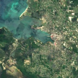
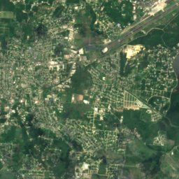
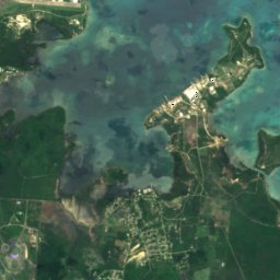
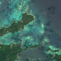
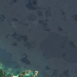
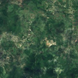
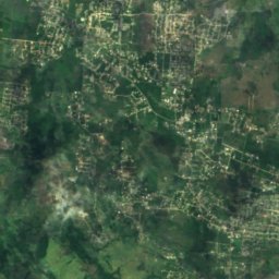
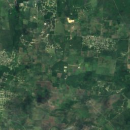
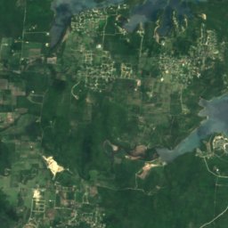
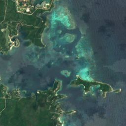
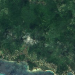
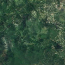
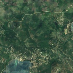
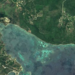
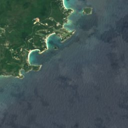
衛星: Sentinel-2 cloudless 2016(EOX IT Services GmbH) · CC BY 4.0 · 改変したCopernicus Sentinelデータ(2016年)を含みます
Potworks Dam
Betty's Hope, Saint Peter Parish
17 m
衛星: Sentinel-2 cloudless 2016(EOX IT Services GmbH) · CC BY 4.0 · 改変したCopernicus Sentinelデータ(2016年)を含みます
Bethesda Dam
Bethesda, Saint Paul Parish
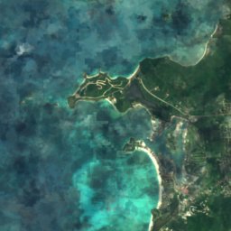
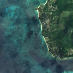
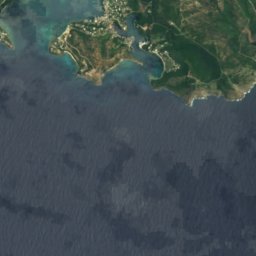
衛星: Sentinel-2 cloudless 2016(EOX IT Services GmbH) · CC BY 4.0 · 改変したCopernicus Sentinelデータ(2016年)を含みます
Rendezvous Bay
Falmouth, Saint Paul Parish

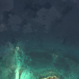
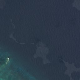


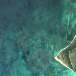
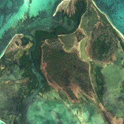
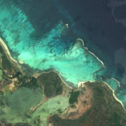
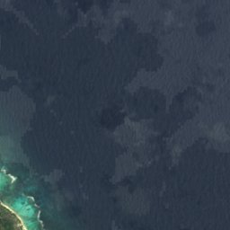

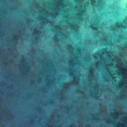
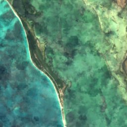
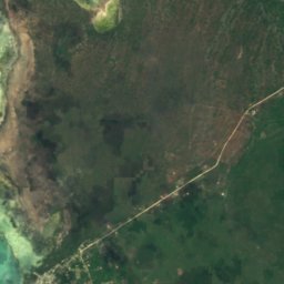
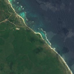
衛星: Sentinel-2 cloudless 2016(EOX IT Services GmbH) · CC BY 4.0 · 改変したCopernicus Sentinelデータ(2016年)を含みます
Cuffy Creek
Codrington, Barbuda
4 m
衛星: Sentinel-2 cloudless 2016(EOX IT Services GmbH) · CC BY 4.0 · 改変したCopernicus Sentinelデータ(2016年)を含みます
Goat Island Flush
Codrington, Barbuda
6 m

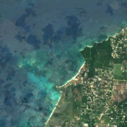
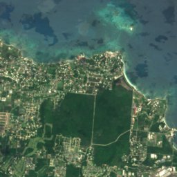

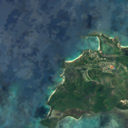
衛星: Sentinel-2 cloudless 2016(EOX IT Services GmbH) · CC BY 4.0 · 改変したCopernicus Sentinelデータ(2016年)を含みます
Runaway Bay
St. John's, Saint John Parish
衛星: Sentinel-2 cloudless 2016(EOX IT Services GmbH) · CC BY 4.0 · 改変したCopernicus Sentinelデータ(2016年)を含みます
Saint John's Harbour
Jacks Hill, Saint John Parish
ビーチ
アンティグア・バーブーダのビーチ


衛星: Sentinel-2 cloudless 2016(EOX IT Services GmbH) · CC BY 4.0 · 改変したCopernicus Sentinelデータ(2016年)を含みます
Pigeon Point, English Harbour
English Harbour Town, Saint Paul Parish


衛星: Sentinel-2 cloudless 2016(EOX IT Services GmbH) · CC BY 4.0 · 改変したCopernicus Sentinelデータ(2016年)を含みます
Ffryes Beach
Jolly Harbour, Saint Mary Parish
衛星: Sentinel-2 cloudless 2016(EOX IT Services GmbH) · CC BY 4.0 · 改変したCopernicus Sentinelデータ(2016年)を含みます
Runaway Beach
St. John's, Saint John Parish
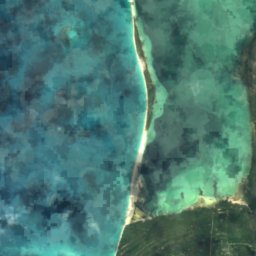
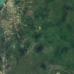
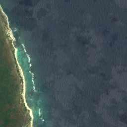
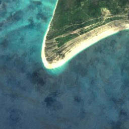
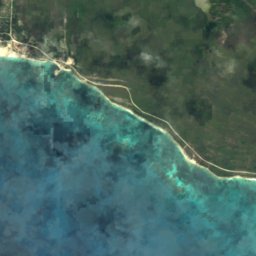
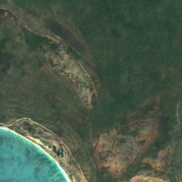
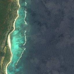
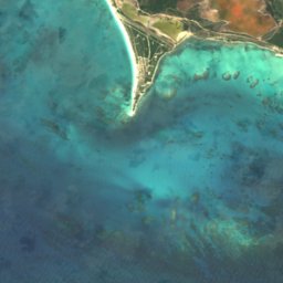
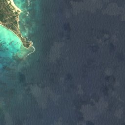
衛星: Sentinel-2 cloudless 2016(EOX IT Services GmbH) · CC BY 4.0 · 改変したCopernicus Sentinelデータ(2016年)を含みます
Cocoa Point Beach
Barbuda Parish, Barbuda
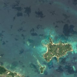
衛星: Sentinel-2 cloudless 2016(EOX IT Services GmbH) · CC BY 4.0 · 改変したCopernicus Sentinelデータ(2016年)を含みます
Devils Bridge
Willikies, Saint Philip Parish
1 m
衛星: Sentinel-2 cloudless 2016(EOX IT Services GmbH) · CC BY 4.0 · 改変したCopernicus Sentinelデータ(2016年)を含みます
Jolly Beach
Jolly Harbour, Saint Mary Parish
1 m
島
アンティグア・バーブーダの島


写真: Image Science and Analysis Laboratory, NASA-Johnson Space Center. · Public domain · Wikimedia Commonsこの写真を報告 · リンクのみ、保存なし
バーブーダ島
Codrington, Barbuda
122 m


衛星: Sentinel-2 cloudless 2016(EOX IT Services GmbH) · CC BY 4.0 · 改変したCopernicus Sentinelデータ(2016年)を含みます
Long Island
Carlisle, Saint George Parish
6 m
衛星: Sentinel-2 cloudless 2016(EOX IT Services GmbH) · CC BY 4.0 · 改変したCopernicus Sentinelデータ(2016年)を含みます
Crump Island
Willikies, Saint Philip Parish
衛星: Sentinel-2 cloudless 2016(EOX IT Services GmbH) · CC BY 4.0 · 改変したCopernicus Sentinelデータ(2016年)を含みます
Pelican Island, Antigua and Barbuda
Willikies, Saint Philip Parish
全リスト:島47か所
- Bird Island
- Blake Island
- Cades Reef
- Cobb Reef
- Codrington Island
- Crump Island
- Diamond Bank
- Exchange Island
- Galley Island Major
- Galley Island Minor
- Goat Reef
- Hawes Island
- Hell's Gate Island
- Horse Shoe Reef
- Hurst Shoals
- Johnson Island
- Laviscounts Island
- Little Sister
- Lobster Island
- Long Island
- Maiden Island
- Maiden Island, Saint Mary
- Middle Ground
- Middle Reef
- Mill Reef Club
- Nanny Island
- Palaster Reef
- Pelican Island, Antigua and Barbuda
- Pelican Island, Jolly Harbour
- Pelican Island, Urlings
- Prickly Pear Island
- Rabbit Island
- Rabitt Island
- Rat Island
- Red Head Island
- Sandy Island
- Scott Shoal
- Smith Island
- The Sisters
- Vernon's Island
- Weymouth Reef
- York Island
- アンティグア島
- ギアナ島
- グリーン島
- バーブーダ島
- 大バード島
川
アンティグア・バーブーダの川


衛星: Sentinel-2 cloudless 2016(EOX IT Services GmbH) · CC BY 4.0 · 改変したCopernicus Sentinelデータ(2016年)を含みます
Ayers Creek
St. Peter Parish, Saint Philip Parish
衛星: Sentinel-2 cloudless 2016(EOX IT Services GmbH) · CC BY 4.0 · 改変したCopernicus Sentinelデータ(2016年)を含みます
Cooks Creek
Jacks Hill, Saint John Parish
衛星: Sentinel-2 cloudless 2016(EOX IT Services GmbH) · CC BY 4.0 · 改変したCopernicus Sentinelデータ(2016年)を含みます
Fitches Creek
St. George Parish, Saint George Parish