Skip to content
Destinations
Weather & climate
Nature
Outdoors
Culture
Events
Sky & live
Fröå gruva
Photo: Andreaze · CC BY-SA 3.0 · Wikimedia Commons
Fröå gruvaReport this photo · linked, not stored
Industry museumBjörnänge, Jämtland

Fröå gruva

Industry museum
KindIndustry museumBjörnänge
Visitors a year–
Founded–
Best monthsJun–AugBjörnänge
63.40° N, 13.20° EUTC+2 · Central European Summer Time
When to goBjörnänge · weather score
JanFebMarAprMayJunJulAugSepOctNovDec15October
Best timeJun–Aug
October: high / low6° / 0°
About

Fröå gruva in brief

Fröå gruva is an industry museum in Björnänge, Jämtland, Sweden.

For the trip, the weather in Björnänge is best in June, July and August; in October afternoons average 6°.

Björnänge: weather and travel guide

Facts

Kind
Industry museum
Town
Björnänge
Region
Jämtland
Coordinates
63.40272° N, 13.20087° E
Location

Where to find it

When to visit

Weather in Björnänge

Climate guide

Month score for sightseeing

Best Jun–Aug
13
Jan
23
Feb
15
Mar
18
Apr
26
May
48
Jun
60
Jul
55
Aug
30
Sep
15
Oct
13
Nov
14
Dec
Around here

Björnänge and around
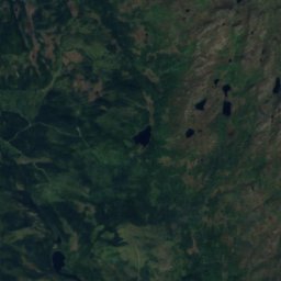
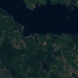
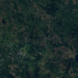
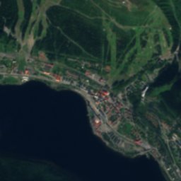
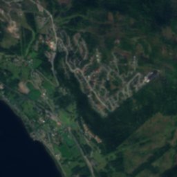
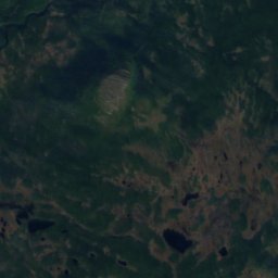
Satellite: Sentinel-2 cloudless 2016 by EOX IT Services GmbH · CC BY 4.0 · Contains modified Copernicus Sentinel data 2016

Björnänge

Jämtland · Sweden
Jun–Augbest months
19°July high
372 maltitude
Björnänge

Nature

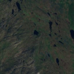
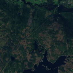
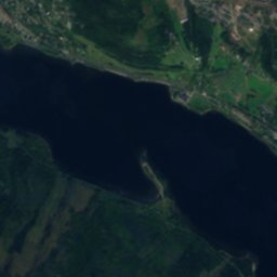
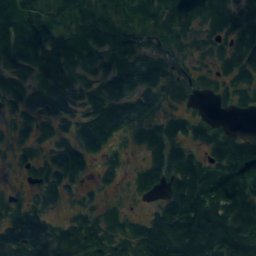
Satellite: Sentinel-2 cloudless 2016 by EOX IT Services GmbH · CC BY 4.0 · Contains modified Copernicus Sentinel data 2016
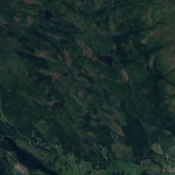
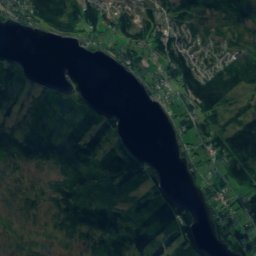
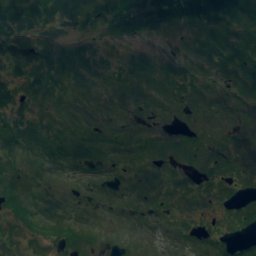
3.0 km W

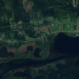
Åresjön

Lake · 372 m
Åresjön
Lillådammen
Photo: Arild Vågen · CC BY-SA 4.0 · Wikimedia CommonsReport this photo · linked, not stored
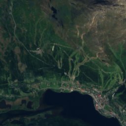
5.1 km N

Lillådammen

Lake
Lillådammen
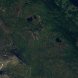
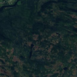
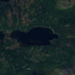
Satellite: Sentinel-2 cloudless 2016 by EOX IT Services GmbH · CC BY 4.0 · Contains modified Copernicus Sentinel data 2016
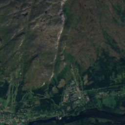
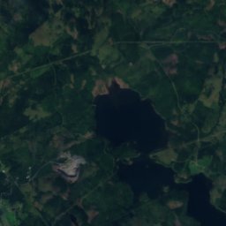
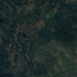
3.9 km W

Bynsofftjärnen

Lake
Bynsofftjärnen

Mountains

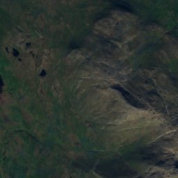
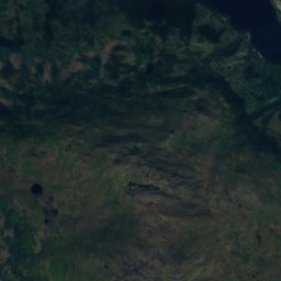
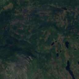
Satellite: Sentinel-2 cloudless 2016 by EOX IT Services GmbH · CC BY 4.0 · Contains modified Copernicus Sentinel data 2016
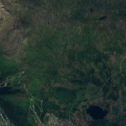
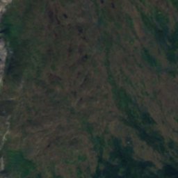
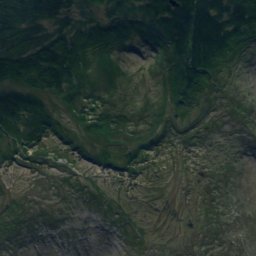
33 km S

Stora Anahögen

1,423 m
Stora Anahögen
Åreskutan
Photo: Guntars Mednis · CC BY-SA 3.0 · Wikimedia CommonsReport this photo · linked, not stored
5.7 km N

Åreskutan

1,420 m · Scandinavian Mountains
Åreskutan
Satellite: Sentinel-2 cloudless 2016 by EOX IT Services GmbH · CC BY 4.0 · Contains modified Copernicus Sentinel data 2016
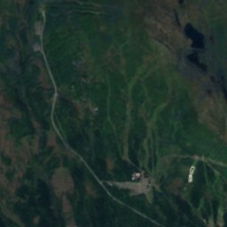
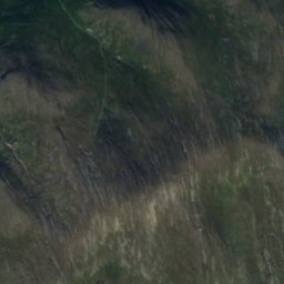
37 km S

Tjerbmaketjuolde

1,233 m
Tjerbmaketjuolde

Heritage

Åre Old Church
Photo: Philaweb · CC BY 3.0 · Wikimedia CommonsReport this photo · linked, not stored
3.0 km NW

Åre Old Church

ecclesiastical listed building complex · 1200
Åre Old Church
Åre
Photo: Skistar · CC BY-SA 3.0 · Wikimedia CommonsReport this photo · linked, not stored
3.3 km NW

Åre

governmental listed building complex · 1882
Åre
Åre Bergbana
Photo: Skistar · CC BY-SA 3.0 · Wikimedia CommonsReport this photo · linked, not stored
3.3 km NW

Åre Bergbana

individual listed building complex · 1909
Åre Bergbana