
 Åre Bergbana
 Åre Old Church
railway stationÅre, Jämtland
Åre
governmental listed building complexBuilt 1882
Typerailway station
Built1882
Best monthsJun–Augweather in Åre
63.40° N, 13.08° EUTC+1 · Central European Standard Time
Standing for144 years
built 1882today 2026
When to goÅre · weather score
Best timeJun–Aug
October: high / low6° / 0°
iAbout
Åre in brief
Åre is a railway station in Åre, Jämtland, Sweden.
It holds the designation governmental listed building complex.
The railway station dates from 1882.
For a visit, the weather in Åre is best in June, July and August; in October afternoons average 6°.
iiLocation
Where to find it
iiiWhen to visit
Climate guideWeather in Åre
Month score for sightseeing
Best Jun–Aug13
Jan
15
Feb
15
Mar
18
Apr
27
May
49
Jun
60
Jul
57
Aug
31
Sep
15
Oct
13
Nov
14
Dec
ivNearby
All monuments in SwedenMore heritage close by
Around here
Åre and around
Nature
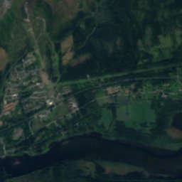
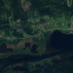
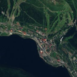

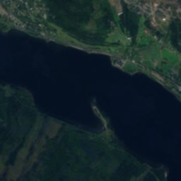
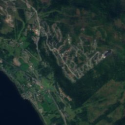
Satellite: Sentinel-2 cloudless 2016 by EOX IT Services GmbH · CC BY 4.0 · Contains modified Copernicus Sentinel data 2016
Åresjön
Lake · 372 m

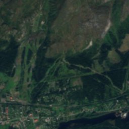
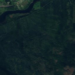
Satellite: Sentinel-2 cloudless 2016 by EOX IT Services GmbH · CC BY 4.0 · Contains modified Copernicus Sentinel data 2016
Bynsofftjärnen
Lake
Mountains

Satellite: Sentinel-2 cloudless 2016 by EOX IT Services GmbH · CC BY 4.0 · Contains modified Copernicus Sentinel data 2016
Stora Anahögen
1,423 m

Satellite: Sentinel-2 cloudless 2016 by EOX IT Services GmbH · CC BY 4.0 · Contains modified Copernicus Sentinel data 2016
Tjerbmaketjuolde
1,233 m
Heritage







Satellite: Sentinel-2 cloudless 2016 by EOX IT Services GmbH · CC BY 4.0 · Contains modified Copernicus Sentinel data 2016
Åre Old Church
ecclesiastical listed building complex · 1200



Satellite: Sentinel-2 cloudless 2016 by EOX IT Services GmbH · CC BY 4.0 · Contains modified Copernicus Sentinel data 2016
Duveds kyrka
ecclesiastical listed building complex


