
Photo: Ibrehaut (Ivan Brehaut L.) · CC BY-SA 4.0 · Wikimedia Commons
MAC LimaReport this photo · linked, not stored
MAC LimaReport this photo · linked, not stored

Photo: Unukorno · CC BY 3.0 · Wikimedia Commons
Museo de la ElectricidadReport this photo · linked, not stored
Museo de la ElectricidadMuseo de la ElectricidadReport this photo · linked, not stored

Photo: Municipalidad de Miraflores · CC BY 2.0 · Wikimedia Commons
Sala Luis Miró Quesada Garland GalleryReport this photo · linked, not stored
Sala Luis Miró Quesada Garland GallerySala Luis Miró Quesada Garland GalleryReport this photo · linked, not stored

Photo: Xauxa Håkan Svensson · CC BY-SA 3.0 · Wikimedia Commons
Museo Pedro de OsmaReport this photo · linked, not stored
Museo Pedro de OsmaMuseo Pedro de OsmaReport this photo · linked, not stored

Photo: Municipalidad de Miraflores · CC BY 2.0 · Wikimedia Commons
Casa Museo Ricardo PalmaReport this photo · linked, not stored
Casa Museo Ricardo PalmaCasa Museo Ricardo PalmaReport this photo · linked, not stored
MuseumSan Francisco De Borja, Lima region
MAC Lima
MuseumFounded 2013
KindMuseumSan Francisco De Borja
Visitors a year–
Founded2013
Best monthsMay–Jun · AugSan Francisco De Borja
12.14° S, 77.02° WUTC−5 · Peru Standard Time
When to goSan Francisco De Borja · weather score
Best timeMay–Jun · Aug
October: high / low19° / 16°
About
MAC Lima in brief
MAC Lima is a museum in San Francisco De Borja, Lima region, Peru.
It was founded in 2013.
For the trip, the weather in San Francisco De Borja is best in May, June and August; in October afternoons average 19°.
Facts
- Kind
- Museum
- Founded
- 2013
- Town
- San Francisco De Borja
- Region
- Lima region
- Coordinates
- 12.13693° S, 77.02325° W
Location
Where to find it
Nearby
All museums in PeruMore to see close by

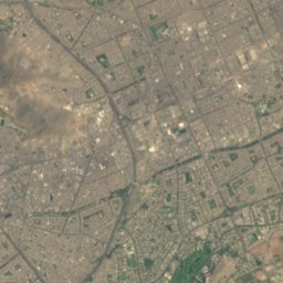
Satellite: Sentinel-2 cloudless 2016 by EOX IT Services GmbH · CC BY 4.0 · Contains modified Copernicus Sentinel data 2016
Andrés Avelino Cáceres Museum
1.2 km N
Museum
Photo: Municipalidad de Miraflores · CC BY 2.0 · Wikimedia CommonsReport this photo · linked, not stored
Sala Luis Miró Quesada Garland Gallery
1.8 km N
Art museum





Satellite: Sentinel-2 cloudless 2016 by EOX IT Services GmbH · CC BY 4.0 · Contains modified Copernicus Sentinel data 2016
MATE - Museo Mario Testino
1.9 km S
Art museum
Photo: Xauxa Håkan Svensson · CC BY-SA 3.0 · Wikimedia CommonsReport this photo · linked, not stored
Museo Pedro de Osma
2.0 km S
Art museum
Photo: Municipalidad de Miraflores · CC BY 2.0 · Wikimedia CommonsReport this photo · linked, not stored
Casa Museo Ricardo Palma
2.1 km N
Historic house museum
Around here
San Francisco De Borja and around

San Francisco De Borja
Lima region · Peru
May–Jun · Augbest months
18°July high
168 maltitude
Nature

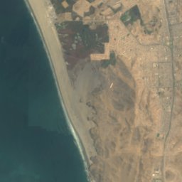
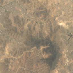

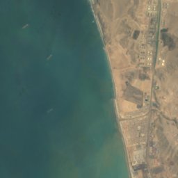
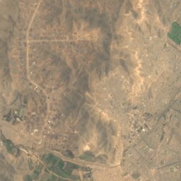
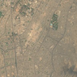
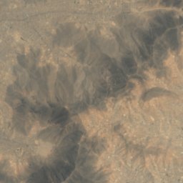

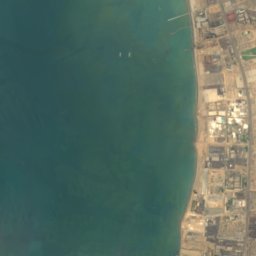
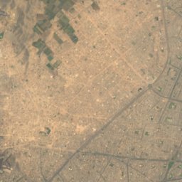
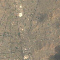
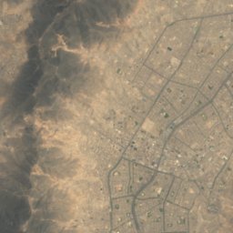
Satellite: Sentinel-2 cloudless 2016 by EOX IT Services GmbH · CC BY 4.0 · Contains modified Copernicus Sentinel data 2016
Chivateros
Cave

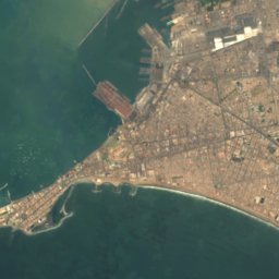
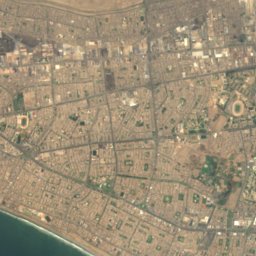
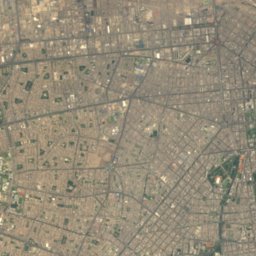
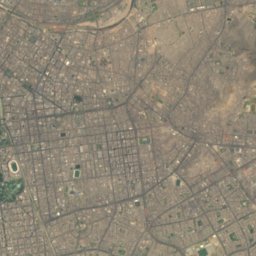

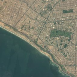
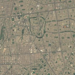
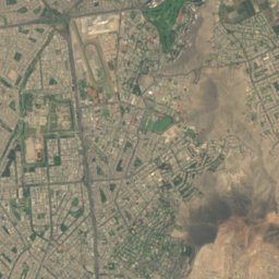

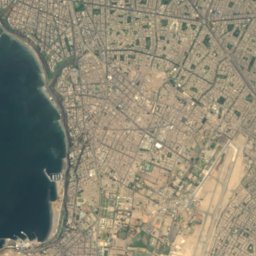
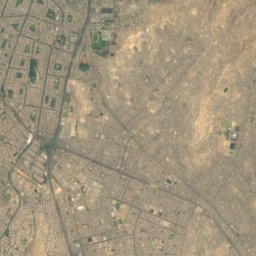
Satellite: Sentinel-2 cloudless 2016 by EOX IT Services GmbH · CC BY 4.0 · Contains modified Copernicus Sentinel data 2016
La Pampilla
Beach
Mountains


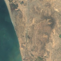
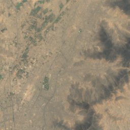
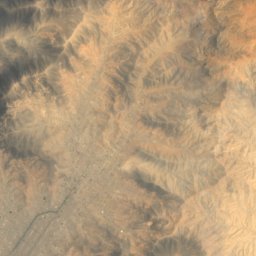

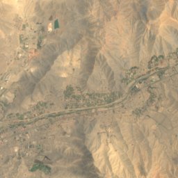
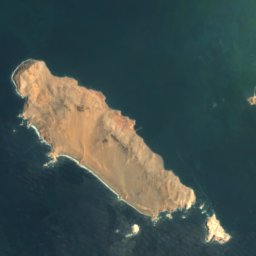
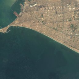
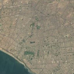
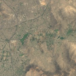
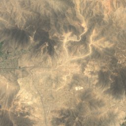
Satellite: Sentinel-2 cloudless 2016 by EOX IT Services GmbH · CC BY 4.0 · Contains modified Copernicus Sentinel data 2016
Cerro Agustino
485 m

Heritage

Photo: Roger Haro (Dodger1972 at en.wikipedia) · Public domain · Wikimedia CommonsReport this photo · linked, not stored
Ministry of Culture Building, Lima
cultural heritage of Peru · 1970

Photo: Dodger1972 at English Wikipedia · Public domain · Wikimedia CommonsReport this photo · linked, not stored
Huaca San Borja
cultural heritage of Peru
Satellite: Sentinel-2 cloudless 2016 by EOX IT Services GmbH · CC BY 4.0 · Contains modified Copernicus Sentinel data 2016
Parque Reducto No. 5
Patriotic Sanctuary of Lima · 1881
Museums


National Museum of Archaeology, Anthropology, and History of Peru
1822