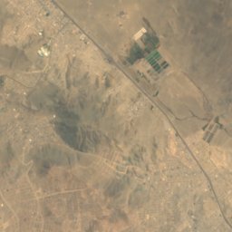
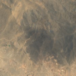
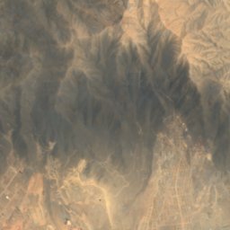
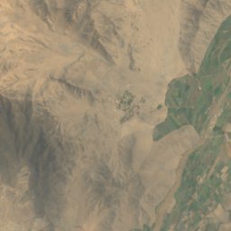
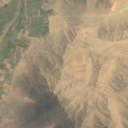
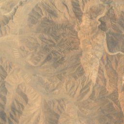

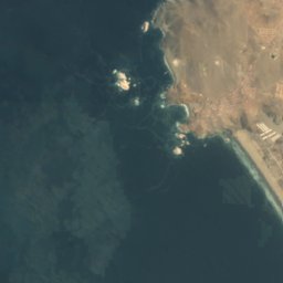
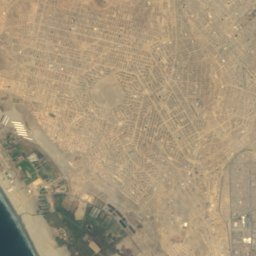
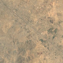
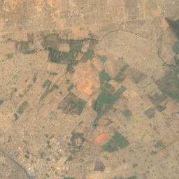
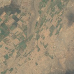
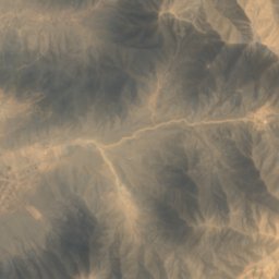
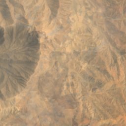


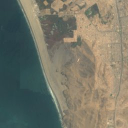
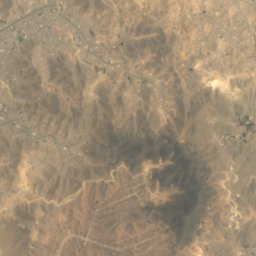
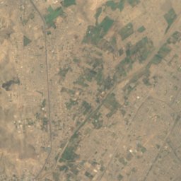
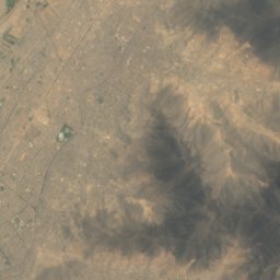
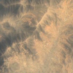
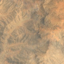


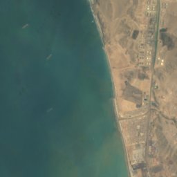
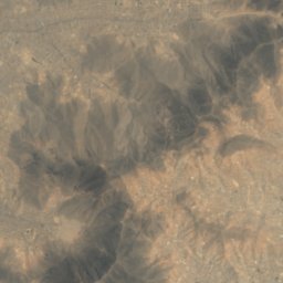
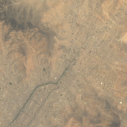
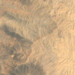



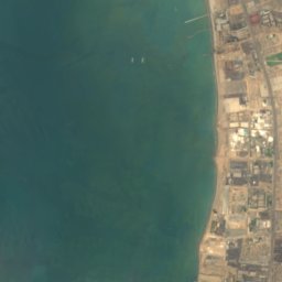
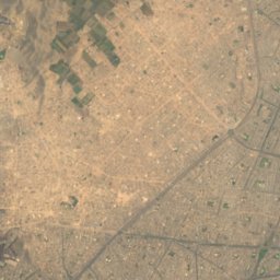
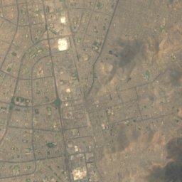
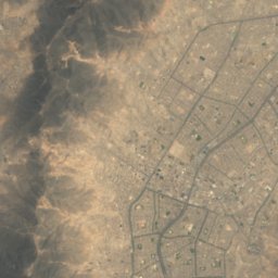
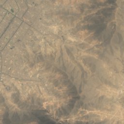
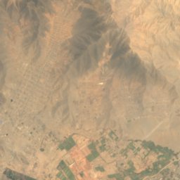


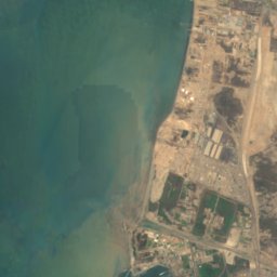
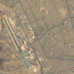
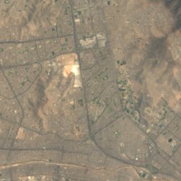
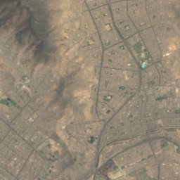
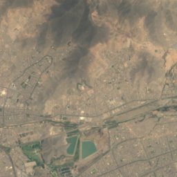
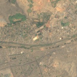
Satellite: Sentinel-2 cloudless 2016 by EOX IT Services GmbH · CC BY 4.0 · Contains modified Copernicus Sentinel data 2016

Photo: Murray Foubister · CC BY-SA 2.0 · Wikimedia Commons
El FrontónReport this photo · linked, not stored
El FrontónEl FrontónReport this photo · linked, not stored

Photo: Unknown authorUnknown author · Public domain · Wikimedia Commons
San Lorenzo IslandReport this photo · linked, not stored
San Lorenzo IslandSan Lorenzo IslandReport this photo · linked, not stored
CaveSan Juan de Lurigancho, Lima region
Chivateros
CaveBest May–Jun · Aug
Elevation–above sea level
Inside20°Call year
Nearest townSan Juan de Lurigancho9.2 km
11.95° S, 77.06° WUTC−5 · Peru Standard Time
When to goSan Juan de Lurigancho · weather score
Best timeMay–Jun · Aug
October: high / low20° / 16°
Cave
Chivateros in brief
Chivateros is a cave in San Juan de Lurigancho, Lima region, Peru.
The nearest town in the atlas is San Juan de Lurigancho, 9.2 km to the SE, where the weather is best in May, June and August.
Inside, a cave stays close to the average yearly air temperature outside: about 20°C all year.
Weather nearby now
Forecast for San Juan de Lurigancho27°
Cloudy now
Today
22 Oct
27°
21°
2 mm
Fri
23 Oct
27°
20°
1 mm
Sat
24 Oct
25°
20°
1 mm
Sun
25 Oct
28°
20°
Mon
26 Oct
27°
21°
Model run 00:00 UTCRefreshed several times a day
Map
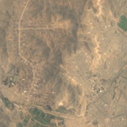
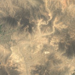
Chivateros from above
Nature nearbyAll of Peru
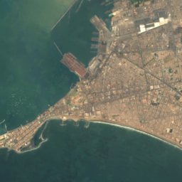
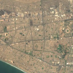
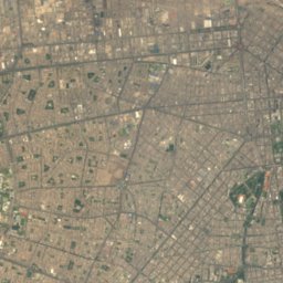
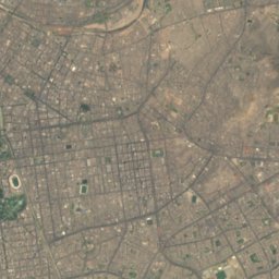
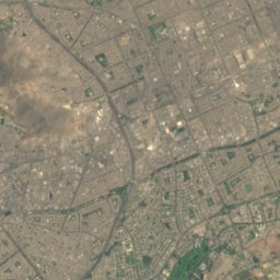

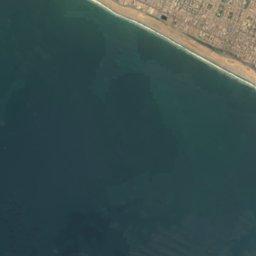
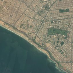
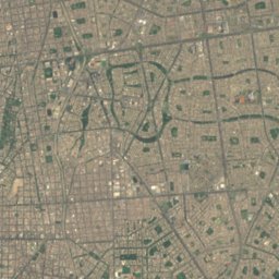
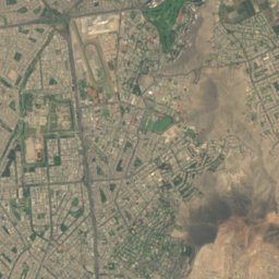

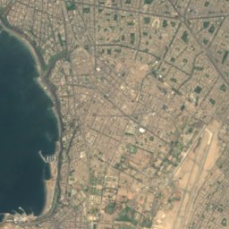
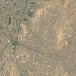
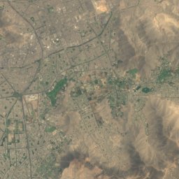
Satellite: Sentinel-2 cloudless 2016 by EOX IT Services GmbH · CC BY 4.0 · Contains modified Copernicus Sentinel data 2016

Photo: Unknown authorUnknown author · Public domain · Wikimedia CommonsReport this photo · linked, not stored
Summits nearbyMountains of Peru

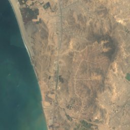
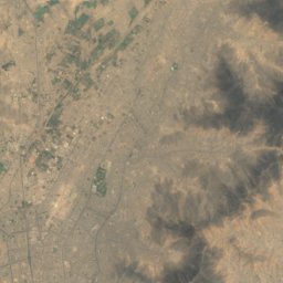
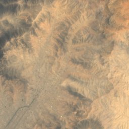
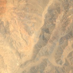

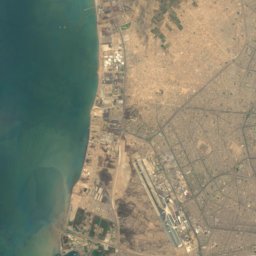
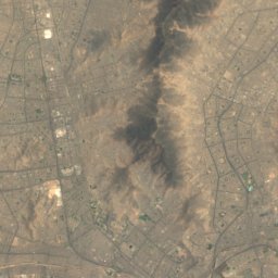
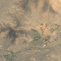
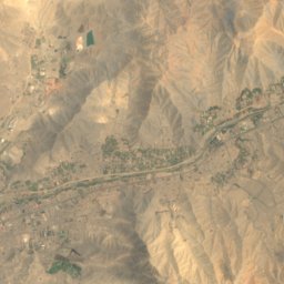
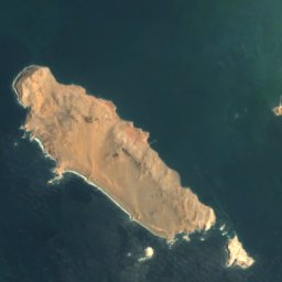
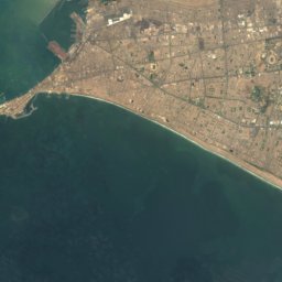
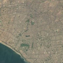
Satellite: Sentinel-2 cloudless 2016 by EOX IT Services GmbH · CC BY 4.0 · Contains modified Copernicus Sentinel data 2016
Stay nearby
Towns close by

Photo: Jonathan Marco Corredor Obispo · CC BY-SA 4.0 · Wikimedia CommonsReport this photo · linked, not stored
San Juan de Lurigancho
Lima region · 9.2 km SE
20°Oct high
0wet days
94score


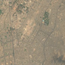
Satellite: Sentinel-2 cloudless 2016 by EOX IT Services GmbH · CC BY 4.0 · Contains modified Copernicus Sentinel data 2016
Santa Anita - Los Ficus
Lima region · 15 km SE
20°Oct high
0wet days
95score
Around here
San Juan de Lurigancho and around
Photo: Jonathan Marco Corredor Obispo · CC BY-SA 4.0 · Wikimedia CommonsReport this photo · linked, not stored
San Juan de Lurigancho
Lima region · Peru
May–Jun · Augbest months
19°July high
214 maltitude
Nature

Satellite: Sentinel-2 cloudless 2016 by EOX IT Services GmbH · CC BY 4.0 · Contains modified Copernicus Sentinel data 2016
La Pampilla
Beach
Mountains

Satellite: Sentinel-2 cloudless 2016 by EOX IT Services GmbH · CC BY 4.0 · Contains modified Copernicus Sentinel data 2016
Cerro Agustino
485 m

Heritage


Photo: Congreso de la República del Perú from Lima, Perú · CC BY 2.0 · Wikimedia CommonsReport this photo · linked, not stored
Legislative Palace of Peru
cultural heritage of Peru · 1939
Museums

Satellite: Sentinel-2 cloudless 2016 by EOX IT Services GmbH · CC BY 4.0 · Contains modified Copernicus Sentinel data 2016


