Satellite: Sentinel-2 cloudless 2016 by EOX IT Services GmbH · CC BY 4.0 · Contains modified Copernicus Sentinel data 2016
 Welios

Photo: Bernhard Holub · CC BY-SA 4.0 · Wikimedia Commons
Museum AngerlehnerReport this photo · linked, not stored
Museum AngerlehnerMuseum AngerlehnerReport this photo · linked, not stored
Military museumLichtenegg, Upper Austria
Dragonermuseum
Military museumFounded 1998
KindMilitary museumLichtenegg
Visitors a year–
Founded1998
Best monthsMay–Jun · SepLichtenegg
48.16° N, 14.01° EUTC+1 · Central European Standard Time
When to goLichtenegg · weather score
Best timeMay–Jun · Sep
October: high / low14° / 6°
About
Dragonermuseum in brief
Dragonermuseum is a military museum in Lichtenegg, Upper Austria, Austria.
It was founded in 1998.
For the trip, the weather in Lichtenegg is best in May, June and September; in October afternoons average 14°.
Facts
- Kind
- Military museum
- Founded
- 1998
- Town
- Lichtenegg
- Region
- Upper Austria
- Coordinates
- 48.15633° N, 14.01027° E
Location
Where to find it
When to visit
Climate guideWeather in Lichtenegg
Month score for sightseeing
Best May–Jun · Sep20
Jan
28
Feb
25
Mar
62
Apr
64
May
64
Jun
62
Jul
63
Aug
70
Sep
50
Oct
26
Nov
21
Dec
Nearby
All museums in AustriaMore to see close by
Satellite: Sentinel-2 cloudless 2016 by EOX IT Services GmbH · CC BY 4.0 · Contains modified Copernicus Sentinel data 2016
Stadtmuseum Wels: Kaiserpanorama
0.8 km E
Museum
Satellite: Sentinel-2 cloudless 2016 by EOX IT Services GmbH · CC BY 4.0 · Contains modified Copernicus Sentinel data 2016
Stadtmuseum Wels: Minoriten - Archäologische Sammlung
1.1 km E
Museum
Satellite: Sentinel-2 cloudless 2016 by EOX IT Services GmbH · CC BY 4.0 · Contains modified Copernicus Sentinel data 2016
Museum der Heimatvertriebenen Wels
1.3 km E
Museum
Satellite: Sentinel-2 cloudless 2016 by EOX IT Services GmbH · CC BY 4.0 · Contains modified Copernicus Sentinel data 2016
Stadtmuseum Wels: Burg - Stadtgeschichte, Landwirtschaftsgeschichte, Österreichisches Gebäckmuseum
1.3 km E
Museum
Around here
Lichtenegg and around

Nature


Mountains


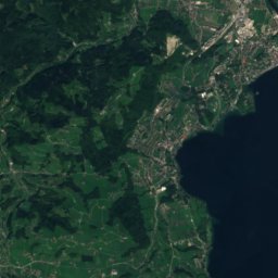
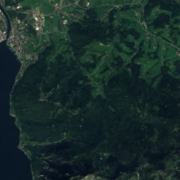
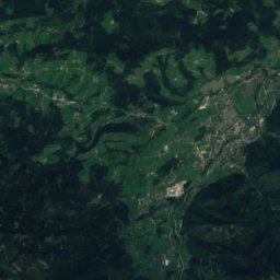
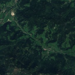
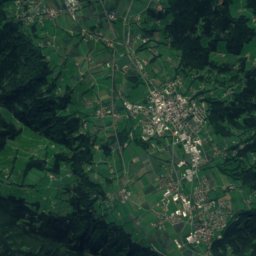
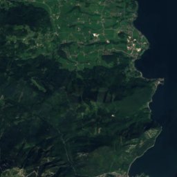
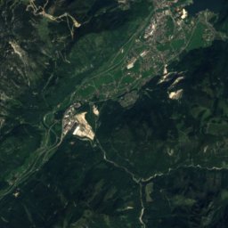


Satellite: Sentinel-2 cloudless 2016 by EOX IT Services GmbH · CC BY 4.0 · Contains modified Copernicus Sentinel data 2016
Schwalbenmauer
1,657 m · Upper Austrian Prealps
Heritage


Thalheim parish church near Wels
Listed objects in Austria · 1070


Ehem. Kapuzinerkirche, Marienkirche, Mariä Verkündigung
Listed objects in Austria · 1631


Stadtpfarrkirche, Thalheim bei Wels
Listed objects in Austria
Museums
Satellite: Sentinel-2 cloudless 2016 by EOX IT Services GmbH · CC BY 4.0 · Contains modified Copernicus Sentinel data 2016