



















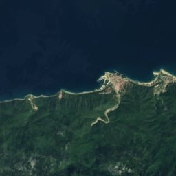
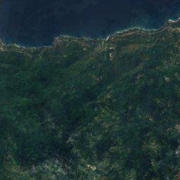
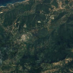
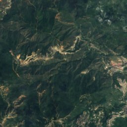
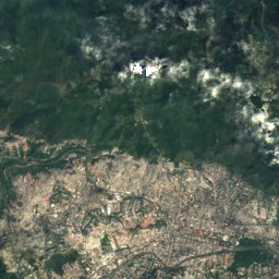
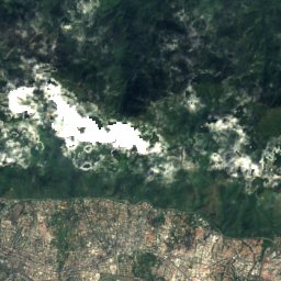
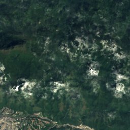
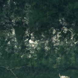
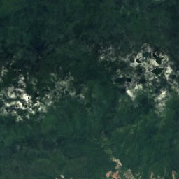
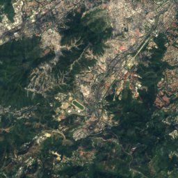
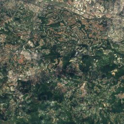
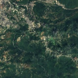
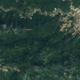
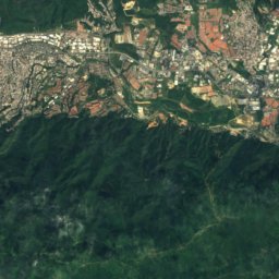
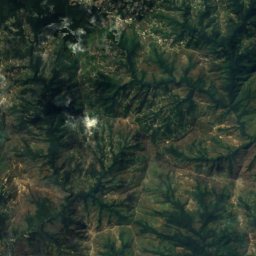
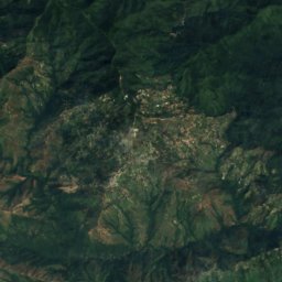
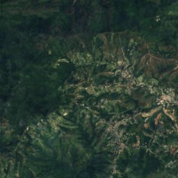
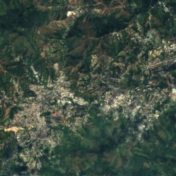
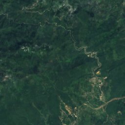
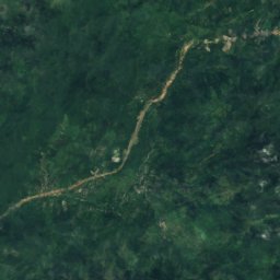
Satellite: Sentinel-2 cloudless 2016 by EOX IT Services GmbH · CC BY 4.0 · Contains modified Copernicus Sentinel data 2016
 Pico Naiguatá
Miranda · VenezuelaSummit weather, forecast and climate
Pico Occidental
2,456 m
Elevation2,456 mabove sea level
Prominence–independent height
Isolation1.5 kmto a higher summit
Summit, Jul18°average high
10.54° N, 66.85° WElevation 2,456 mUTC−4 · Venezuela Time
From the valley to the top
- Summit2,456 m
- Mid-mountain1,670 m
- Valley · Chacao887 m
Freezing level in October: above the summit
iThe mountain
Pico Occidental in brief
Pico Occidental rises to 2,456 m, Miranda, Venezuela.
At the summit, April is the mildest month with average highs of 19°, while nights rarely fall below freezing.
The nearest town in the atlas is Chacao, 5.0 km to the S at 887 m.
iiForecast
Weather at three heights
Temperatures are adjusted to each height; summits are usually colder and windier than the valley forecast suggests.
Loading the latest forecast…
Loading the latest forecast…
Loading the latest forecast…
iiiSummit climate
The top of Pico Occidental by month
Summit temperatures and precipitation
Climate normals for the summit area (~1 km grid), station-adjusted| Month | Jan | Feb | Mar | Apr | May | Jun | Jul | Aug | Sep | Oct | Nov | Dec |
|---|---|---|---|---|---|---|---|---|---|---|---|---|
| Average high | 17° | 18° | 19° | 19° | 19° | 18° | 18° | 18° | 19° | 18° | 18° | 17° |
| Average low | 10° | 11° | 11° | 12° | 12° | 12° | 11° | 12° | 12° | 12° | 12° | 11° |
| Precipitation | 48 mm | 51 mm | 24 mm | 75 mm | 117 mm | 146 mm | 161 mm | 160 mm | 143 mm | 151 mm | 164 mm | 92 mm |
| Cloud cover | 25% | 29% | 34% | 58% | 64% | 63% | 53% | 55% | 57% | 59% | 49% | 34% |
| Daylight | 11h 34 | 11h 48 | 12h 04 | 12h 22 | 12h 36 | 12h 44 | 12h 41 | 12h 28 | 12h 11 | 11h 54 | 11h 39 | 11h 31 |
| Month score | 81 | 83 | 92 | 68 | 54 | 53 | 56 | 57 | 56 | 55 | 57 | 67 |
Snow and freezing level
Average height of the 0 °C level from the summit normals (6.5 °C per km); snow months have a summit mean at or below +1 °C| Month | Jan | Feb | Mar | Apr | May | Jun | Jul | Aug | Sep | Oct | Nov | Dec |
|---|---|---|---|---|---|---|---|---|---|---|---|---|
| Freezing level | 4,550 m | 4,600 m | 4,750 m | 4,850 m | 4,850 m | 4,750 m | 4,700 m | 4,750 m | 4,800 m | 4,800 m | 4,700 m | 4,600 m |
| Summit | above 0 °C | above 0 °C | above 0 °C | above 0 °C | above 0 °C | above 0 °C | above 0 °C | above 0 °C | above 0 °C | above 0 °C | above 0 °C | above 0 °C |
ivTerrain
Pico Occidental in 3D
vNeighbours
Mountains of VenezuelaPeaks nearby
| Mountain | Elevation | Prominence | Distance | July summit high |
|---|---|---|---|---|
| Pico Naiguatá | 2,765 m | 2,455 m | 7.8 km E | 16° |
| Topo Galindo | 2,579 m | – | 6.4 km E | 16° |
| Pico Oriental | 2,548 m | – | 1.5 km E | 17° |
| Topo Tacamahaco | 2,262 m | – | 15 km E | 19° |
| Orismao. Topo | 2,227 m | – | 19 km E | 18° |
| Topo Macanillal | 2,157 m | – | 13 km E | 19° |
| Topo Santa Rosa | 2,065 m | – | 8.6 km E | 19° |
| Topo Garate | 2,045 m | – | 11 km E | 20° |
viBase towns
Where to stay nearby


Around here
Chacao and around
Nature
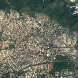
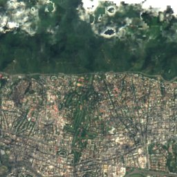
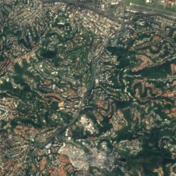
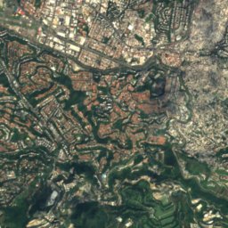
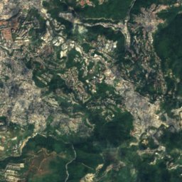
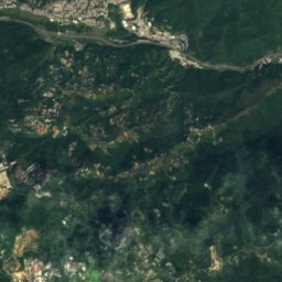
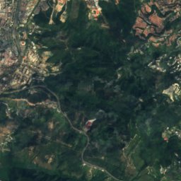
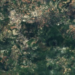
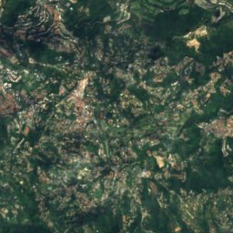
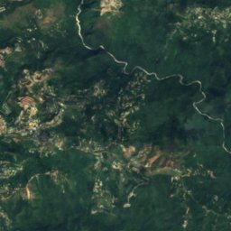
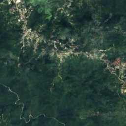
Satellite: Sentinel-2 cloudless 2016 by EOX IT Services GmbH · CC BY 4.0 · Contains modified Copernicus Sentinel data 2016
Quebrada La Guairita
River
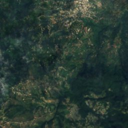
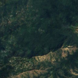
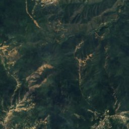
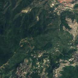
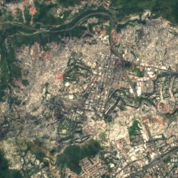
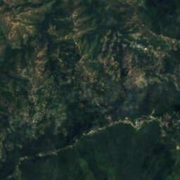
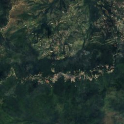
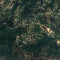
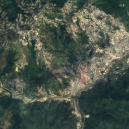
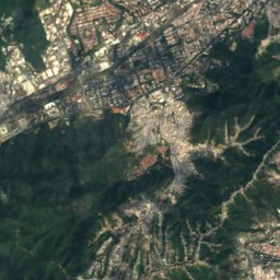
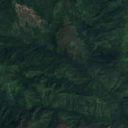
Satellite: Sentinel-2 cloudless 2016 by EOX IT Services GmbH · CC BY 4.0 · Contains modified Copernicus Sentinel data 2016
Guaire River
River
Mountains
Satellite: Sentinel-2 cloudless 2016 by EOX IT Services GmbH · CC BY 4.0 · Contains modified Copernicus Sentinel data 2016
Pico Naiguatá
2,765 m · Venezuelan Coastal Range
Satellite: Sentinel-2 cloudless 2016 by EOX IT Services GmbH · CC BY 4.0 · Contains modified Copernicus Sentinel data 2016
Topo Galindo
2,579 m
Satellite: Sentinel-2 cloudless 2016 by EOX IT Services GmbH · CC BY 4.0 · Contains modified Copernicus Sentinel data 2016
Pico Oriental
2,548 m
Heritage
Satellite: Sentinel-2 cloudless 2016 by EOX IT Services GmbH · CC BY 4.0 · Contains modified Copernicus Sentinel data 2016
Parque Cristal
National historical monument of Venezuela · 1987

Iglesia Ortodoxa de San Nicolás de Bari
National historical monument of Venezuela

Museums

William Phelps Ornithological Collection
Science museum · 1949


Satellite: Sentinel-2 cloudless 2016 by EOX IT Services GmbH · CC BY 4.0 · Contains modified Copernicus Sentinel data 2016
Museum of Modern Art in Caracas
Art museum

Photo: María Auxiliadora Ramírez Prato · CC BY-SA 3.0 · Wikimedia CommonsReport this photo · linked, not stored
