

Photo: María Auxiliadora Ramírez Prato · CC BY-SA 3.0 · Wikimedia Commons
Planetario HumboldtReport this photo · linked, not stored
Planetario HumboldtPlanetario HumboldtReport this photo · linked, not stored

Photo: Robert Marín · CC BY-SA 4.0 · Wikimedia Commons
Iglesia Ortodoxa de San Nicolás de BariReport this photo · linked, not stored
Iglesia Ortodoxa de San Nicolás de BariIglesia Ortodoxa de San Nicolás de BariReport this photo · linked, not stored
 Torre Europa
built structureChacao, Miranda
Parque Cristal
National historical monument of VenezuelaBuilt 1987
Typebuilt structure
Built1987by Jimmy Alcock
Best monthsJan–Marweather in Chacao
10.50° N, 66.84° WUTC−4 · Venezuela Time
Standing for39 years
built 1987today 2026
When to goChacao · weather score
Best timeJan–Mar
October: high / low27° / 20°
iAbout
Parque Cristal in brief
Parque Cristal is a built structure in Chacao, Miranda, Venezuela.
It holds the designation National historical monument of Venezuela.
The built structure dates from 1987 and was designed by Jimmy Alcock.
For a visit, the weather in Chacao is best in January, February and March; in October afternoons average 27°.
iiLocation
Where to find it
ivNearby
All monuments in VenezuelaMore heritage close by
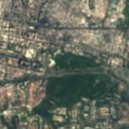
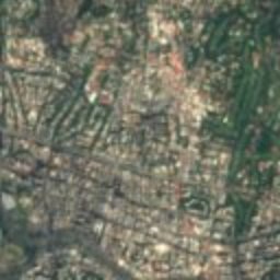
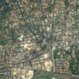
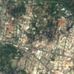
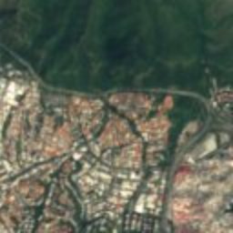
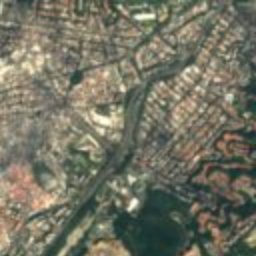
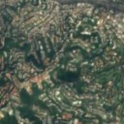
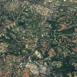
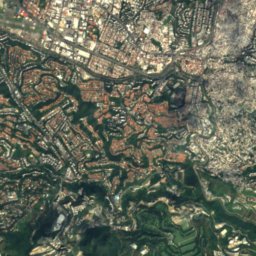
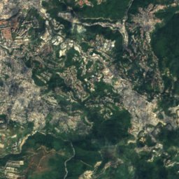
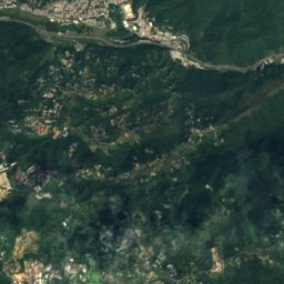
Satellite: Sentinel-2 cloudless 2016 by EOX IT Services GmbH · CC BY 4.0 · Contains modified Copernicus Sentinel data 2016
Plaza Francia
0.7 km W
National historical monument of Venezuela
Photo: María Auxiliadora Ramírez Prato · CC BY-SA 3.0 · Wikimedia CommonsReport this photo · linked, not stored
Planetario Humboldt
0.8 km SE
National historical monument of Venezuela
Iglesia Ortodoxa de San Nicolás de Bari
1.1 km E
National historical monument of Venezuela
Satellite: Sentinel-2 cloudless 2016 by EOX IT Services GmbH · CC BY 4.0 · Contains modified Copernicus Sentinel data 2016
La Casona
1.5 km SE
National historical monument of Venezuela
Satellite: Sentinel-2 cloudless 2016 by EOX IT Services GmbH · CC BY 4.0 · Contains modified Copernicus Sentinel data 2016
Boulevard of Sabana Grande
3.5 km W
National historical monument of Venezuela
Around here
Chacao and around

Nature

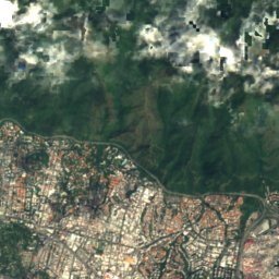
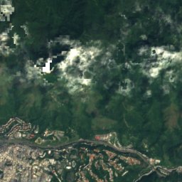
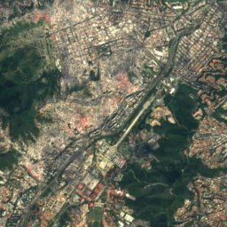
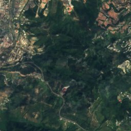
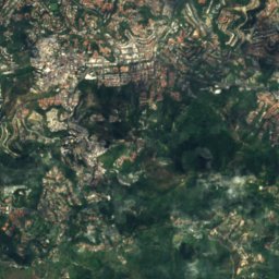
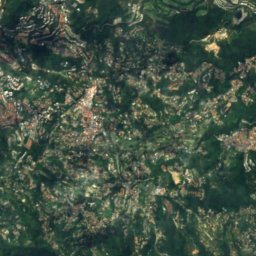
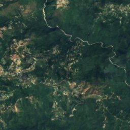
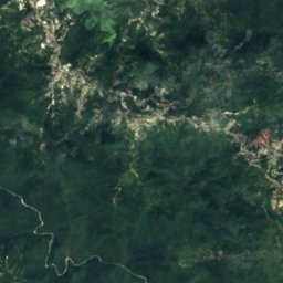
Satellite: Sentinel-2 cloudless 2016 by EOX IT Services GmbH · CC BY 4.0 · Contains modified Copernicus Sentinel data 2016
Quebrada La Guairita
River
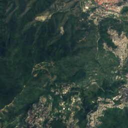
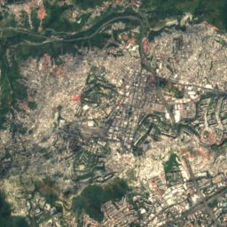
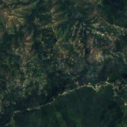
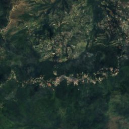
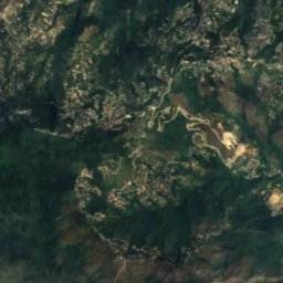
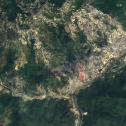
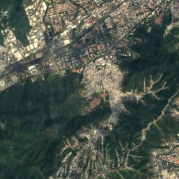
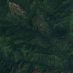
Satellite: Sentinel-2 cloudless 2016 by EOX IT Services GmbH · CC BY 4.0 · Contains modified Copernicus Sentinel data 2016
Guaire River
River
Mountains





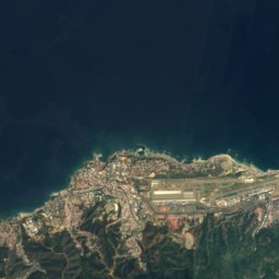
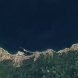
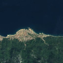
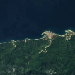
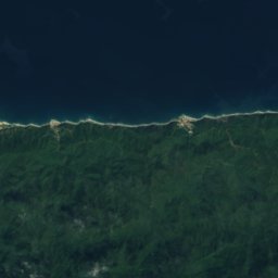
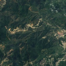
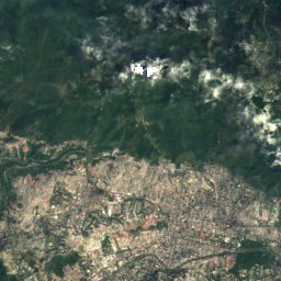
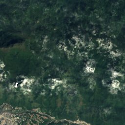
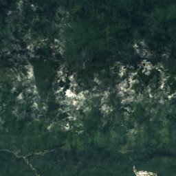
Satellite: Sentinel-2 cloudless 2016 by EOX IT Services GmbH · CC BY 4.0 · Contains modified Copernicus Sentinel data 2016
Pico Naiguatá
2,765 m · Venezuelan Coastal Range
Satellite: Sentinel-2 cloudless 2016 by EOX IT Services GmbH · CC BY 4.0 · Contains modified Copernicus Sentinel data 2016
Topo Galindo
2,579 m
Satellite: Sentinel-2 cloudless 2016 by EOX IT Services GmbH · CC BY 4.0 · Contains modified Copernicus Sentinel data 2016
Pico Oriental
2,548 m
Heritage
Iglesia Ortodoxa de San Nicolás de Bari
National historical monument of Venezuela
Photo: María Auxiliadora Ramírez Prato · CC BY-SA 3.0 · Wikimedia CommonsReport this photo · linked, not stored
Planetario Humboldt
National historical monument of Venezuela
Museums

William Phelps Ornithological Collection
Science museum · 1949
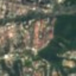
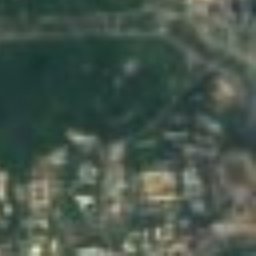


Satellite: Sentinel-2 cloudless 2016 by EOX IT Services GmbH · CC BY 4.0 · Contains modified Copernicus Sentinel data 2016
Museum of Modern Art in Caracas
Art museum

Photo: María Auxiliadora Ramírez Prato · CC BY-SA 3.0 · Wikimedia CommonsReport this photo · linked, not stored
