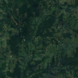
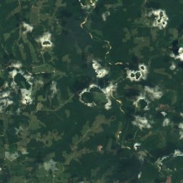
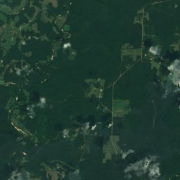
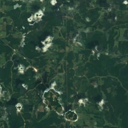
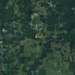
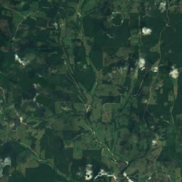
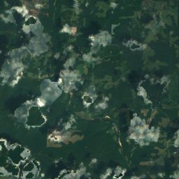
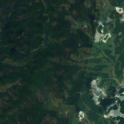
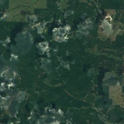
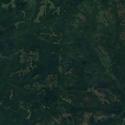
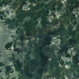
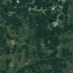
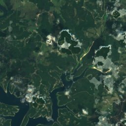
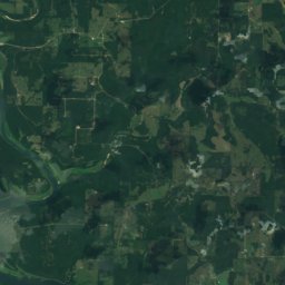
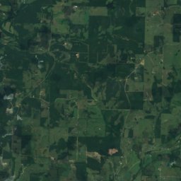
Satellite: Sentinel-2 cloudless 2016 by EOX IT Services GmbH · CC BY 4.0 · Contains modified Copernicus Sentinel data 2016
Missouri · United StatesSummit weather, forecast and climate
Sister Knobs
1,404 ft
Elevation1,404 ftabove sea level
Prominence–independent height
Isolation59 mito a higher summit
Summit, Jul88°average high
36.73° N, 92.50° WElevation 1,404 ftUTC−5 · Central Daylight Time
From the valley to the top
- Summit1,404 ft
- Mid-mountain689 ft
- Valley0 ft
Freezing level in October: above the summit
iThe mountain
Sister Knobs in brief
Sister Knobs rises to 1,404 ft, Missouri, United States.
At the summit, July is the mildest month with average highs of 88°, while nights fall below freezing in 3 months of the year.
The nearest town is Gainesville, 9.9 mi to the SE at 781 ft.
Facts
- Elevation
- 1,404 ft
- Region
- Missouri
- Country
- United States
- Coordinates
- 36.7328, -92.5038
- Nearest airport
- Branson Airport (BKG) · 41 mi
iiForecast
Weather at three heights
Temperatures are adjusted to each height; summits are usually colder and windier than the valley forecast suggests.
Loading the latest forecast…
Loading the latest forecast…
Loading the latest forecast…
iiiSummit climate
The top of Sister Knobs by month
Summit temperatures and precipitation
Climate normals for the summit area (~1 km grid), station-adjusted| Month | Jan | Feb | Mar | Apr | May | Jun | Jul | Aug | Sep | Oct | Nov | Dec |
|---|---|---|---|---|---|---|---|---|---|---|---|---|
| Average high | 45° | 49° | 58° | 68° | 76° | 83° | 88° | 87° | 80° | 70° | 57° | 47° |
| Average low | 24° | 27° | 35° | 44° | 53° | 62° | 66° | 65° | 56° | 45° | 35° | 27° |
| Precipitation | 3.0 in | 3.1 in | 4.4 in | 4.8 in | 5.4 in | 4.3 in | 4.0 in | 3.3 in | 4.5 in | 4.1 in | 4.6 in | 3.5 in |
| Cloud cover | 41% | 44% | 40% | 37% | 39% | 33% | 27% | 26% | 28% | 33% | 40% | 42% |
| Daylight | 9h 55 | 10h 52 | 11h 56 | 13h 08 | 14h 07 | 14h 40 | 14h 26 | 13h 35 | 12h 26 | 11h 17 | 10h 13 | 9h 40 |
| Month score | 33 | 30 | 48 | 64 | 63 | 54 | 46 | 52 | 61 | 70 | 43 | 28 |
Snow and freezing level
Average height of the 0 °C level from the summit normals (6.5 °C per km); snow months have a summit mean at or below +1 °C| Month | Jan | Feb | Mar | Apr | May | Jun | Jul | Aug | Sep | Oct | Nov | Dec |
|---|---|---|---|---|---|---|---|---|---|---|---|---|
| Freezing level | 1,969 ft | 3,117 ft | 5,413 ft | 8,202 ft | 10,499 ft | 12,795 ft | 13,944 ft | 13,780 ft | 11,647 ft | 8,530 ft | 5,413 ft | 2,789 ft |
| Summit | above 0 °C | above 0 °C | above 0 °C | above 0 °C | above 0 °C | above 0 °C | above 0 °C | above 0 °C | above 0 °C | above 0 °C | above 0 °C | above 0 °C |
ivTerrain
Sister Knobs in 3D
viBase towns
Where to stay nearby

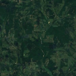
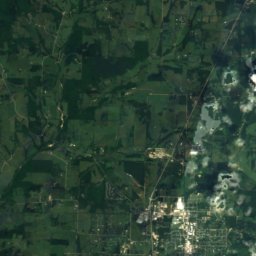
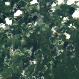
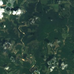
Around here
Gainesville and around
Nature
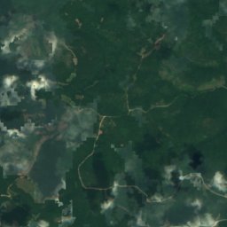
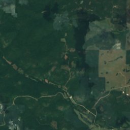
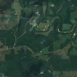
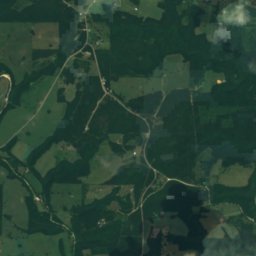
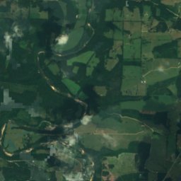
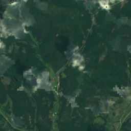
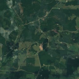
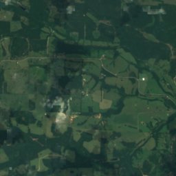
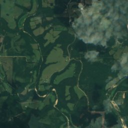
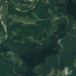
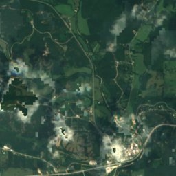
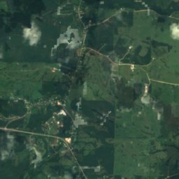
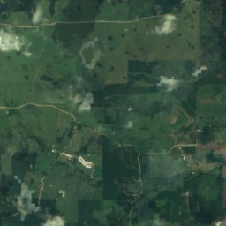
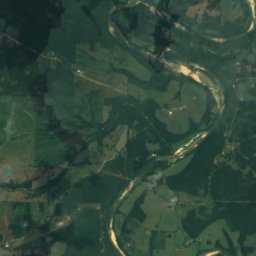
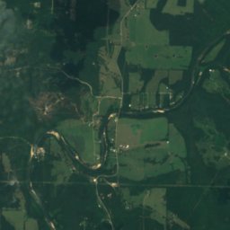
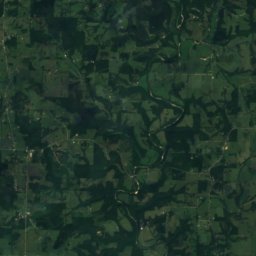
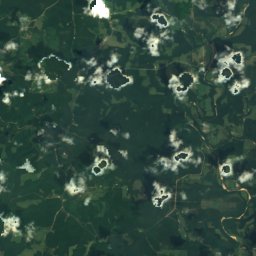
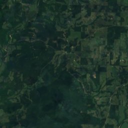
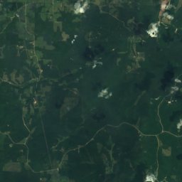
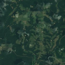
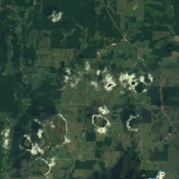
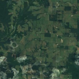
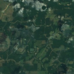
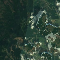
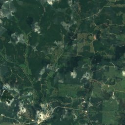
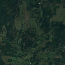
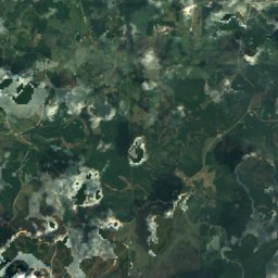
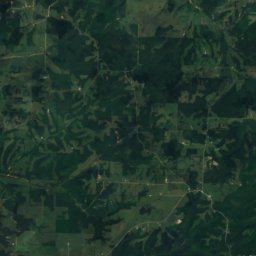
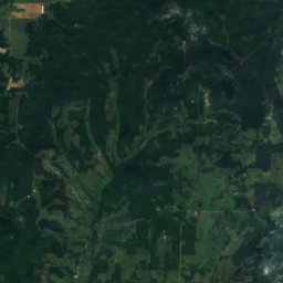
Satellite: Sentinel-2 cloudless 2016 by EOX IT Services GmbH · CC BY 4.0 · Contains modified Copernicus Sentinel data 2016
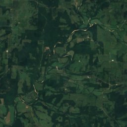
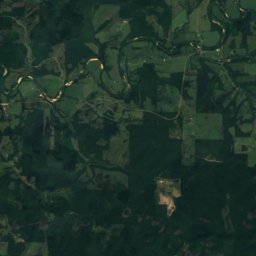
Caney Creek (Pine Creek tributary)
River · 600 ft
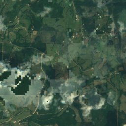
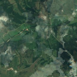
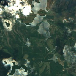
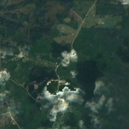
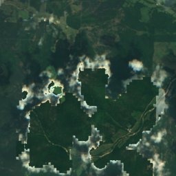

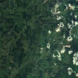
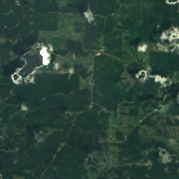
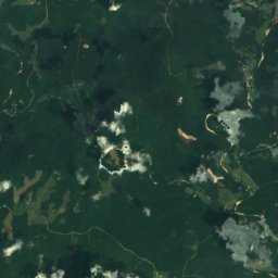
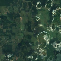
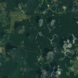
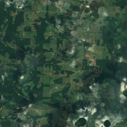
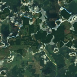
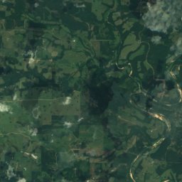
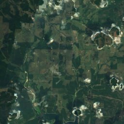
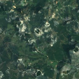
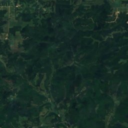
Satellite: Sentinel-2 cloudless 2016 by EOX IT Services GmbH · CC BY 4.0 · Contains modified Copernicus Sentinel data 2016
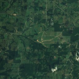
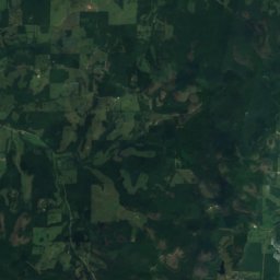
Possum Walk Creek (Lick Creek tributary)
River
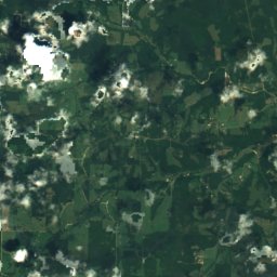
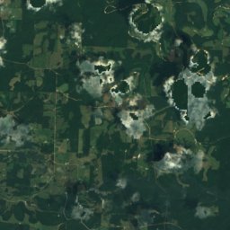
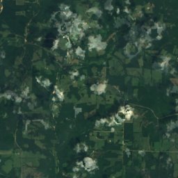
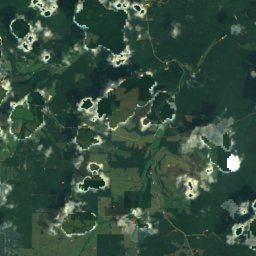
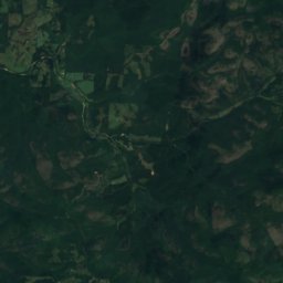
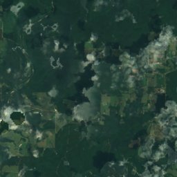
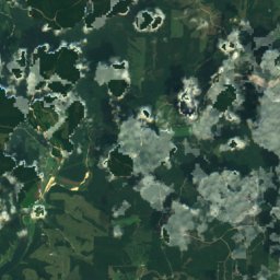
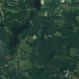
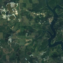
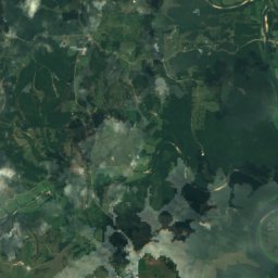
Satellite: Sentinel-2 cloudless 2016 by EOX IT Services GmbH · CC BY 4.0 · Contains modified Copernicus Sentinel data 2016
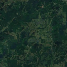
Pine Creek (Bryant Creek tributary)
River
Heritage


John Conkin and Clara Layton Harlin House
National Register of Historic Places listed place