
Photo: Ron Clausen · CC BY-SA 4.0 · Wikimedia Commons
Ruby MountainReport this photo · linked, not stored
Ruby MountainReport this photo · linked, not stored

Photo: M. F. Meier · Public domain · Wikimedia Commons
Buckner MountainReport this photo · linked, not stored
Buckner MountainBuckner MountainReport this photo · linked, not stored

Photo: Austin Post · Public domain · Wikimedia Commons
Jack MountainReport this photo · linked, not stored
Jack MountainJack MountainReport this photo · linked, not stored

Photo: Walter Siegmund (talk) · CC BY-SA 3.0 · Wikimedia Commons
Boston PeakReport this photo · linked, not stored
Boston PeakBoston PeakReport this photo · linked, not stored
 Eldorado Peak
North Cascades · Washington · United StatesSummit weather, forecast and climate
Ruby Mountain
7,412 ftMajor summitSnow likely Jan–May · Oct–Dec
Elevation7,412 ftabove sea level
Prominence3,740 ftindependent height
Isolation4.2 mito a higher summit
Summit, Jul60°average high
48.69° N, 121.04° WElevation 7,412 ftUTC−7 · Pacific Daylight Time
From the valley to the top
- Summit7,412 ft
- Mid-mountain4,167 ft
- Valley · Diablo896 ft
Freezing level in October: 7,382 ft
iThe mountain
Ruby Mountain in brief
Ruby Mountain rises to 7,412 ft in the North Cascades, Washington, United States. Its topographic prominence — the height it stands above the lowest contour enclosing a higher summit — is 3,740 ft, a major independent summit.
At the summit, August is the mildest month with average highs of 61°, while nights fall below freezing in 9 months of the year. Daytime highs climb above zero from April to October.
The nearest town is Diablo, 4.7 mi to the W at 896 ft.
Facts
- Elevation
- 7,412 ft
- Prominence
- 3,740 ft
- Range
- North Cascades
- Region
- Washington
- Country
- United States
- Coordinates
- 48.6946, -121.0426
- Nearest airport
- Abbotsford International Airport (YXX) · 64 mi
iiForecast
Weather at three heights
Temperatures are adjusted to each height; summits are usually colder and windier than the valley forecast suggests.
Loading the latest forecast…
Loading the latest forecast…
Loading the latest forecast…
iiiSummit climate
The top of Ruby Mountain by month
Summit temperatures and precipitation
Climate normals for the summit area (~1 km grid), station-adjusted| Month | Jan | Feb | Mar | Apr | May | Jun | Jul | Aug | Sep | Oct | Nov | Dec |
|---|---|---|---|---|---|---|---|---|---|---|---|---|
| Average high | 22° | 26° | 30° | 35° | 43° | 53° | 60° | 61° | 54° | 40° | 26° | 19° |
| Average low | 11° | 11° | 15° | 19° | 24° | 32° | 37° | 38° | 32° | 23° | 14° | 9° |
| Precipitation | 11.1 in | 7.2 in | 6.5 in | 4.4 in | 3.0 in | 2.6 in | 1.7 in | 1.6 in | 3.0 in | 8.0 in | 13.0 in | 11.0 in |
| Cloud cover | 60% | 53% | 56% | 53% | 50% | 49% | 34% | 31% | 36% | 51% | 61% | 58% |
| Daylight | 8h 44 | 10h 13 | 11h 51 | 13h 41 | 15h 15 | 16h 08 | 15h 45 | 14h 23 | 12h 37 | 10h 51 | 9h 12 | 8h 18 |
| Month score | 13 | 15 | 14 | 18 | 29 | 39 | 75 | 79 | 47 | 16 | 12 | 13 |
Snow and freezing level
Average height of the 0 °C level from the summit normals (6.5 °C per km); snow months have a summit mean at or below +1 °C| Month | Jan | Feb | Mar | Apr | May | Jun | Jul | Aug | Sep | Oct | Nov | Dec |
|---|---|---|---|---|---|---|---|---|---|---|---|---|
| Freezing level | 3,117 ft | 3,609 ft | 4,757 ft | 6,070 ft | 7,874 ft | 10,171 ft | 12,139 ft | 12,303 ft | 10,499 ft | 7,382 ft | 3,937 ft | 2,461 ft |
| Summit | ❄ snow | ❄ snow | ❄ snow | ❄ snow | ❄ snow | above 0 °C | above 0 °C | above 0 °C | above 0 °C | ❄ snow | ❄ snow | ❄ snow |
ivTerrain
Ruby Mountain in 3D
vNeighbours
Mountains of the United StatesPeaks nearby
| Mountain | Elevation | Prominence | Distance | July summit high |
|---|---|---|---|---|
| Buckner Mountain | 9,114 ft | 3,034 ft | 14 mi S | 55° |
| Mount Logan (Washington) | 9,087 ft | 1,487 ft | 12 mi S | 54° |
| Jack Mountain | 9,075 ft | 4,211 ft | 6.7 mi NE | 56° |
| Boston Peak | 8,894 ft | 854 ft | 14 mi S | 54° |
| Eldorado Peak | 8,868 ft | 2,188 ft | 12 mi S | 55° |
| Forbidden Peak | 8,815 ft | 1,055 ft | 13 mi S | 56° |
| Mesahchie Peak | 8,795 ft | 2,235 ft | 11 mi SE | 57° |
| Sahale Mountain | 8,681 ft | – | 14 mi S | 56° |


Around here
Diablo and around
Nature


Mountains
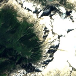
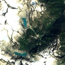
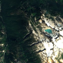
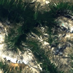
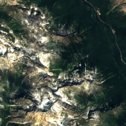
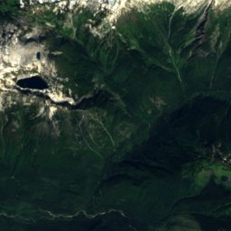
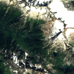
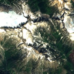
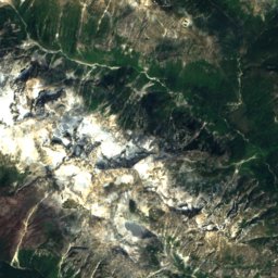
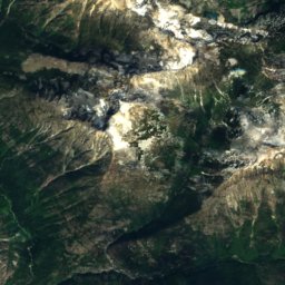
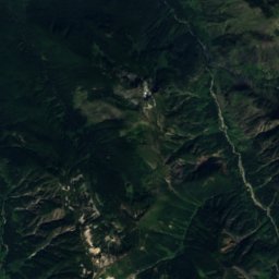
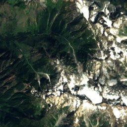
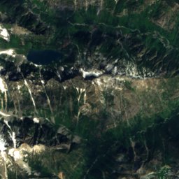
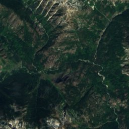
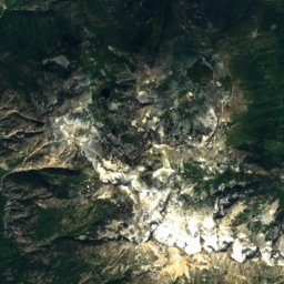
Satellite: Sentinel-2 cloudless 2016 by EOX IT Services GmbH · CC BY 4.0 · Contains modified Copernicus Sentinel data 2016
Goode Mountain
9,206 ft · North Cascades

Photo: Frank Kovalchek from Anchorage, Alaska, USA · CC BY 2.0 · Wikimedia CommonsReport this photo · linked, not stored
Mount Shuksan
9,127 ft · Skagit Range
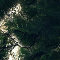
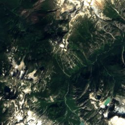
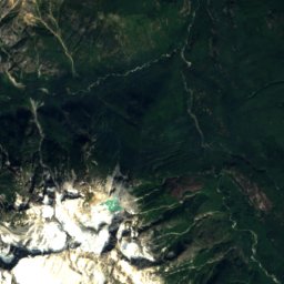
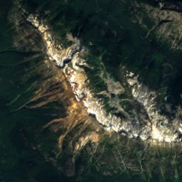
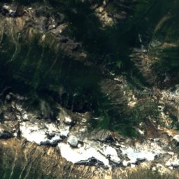
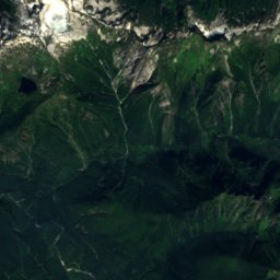
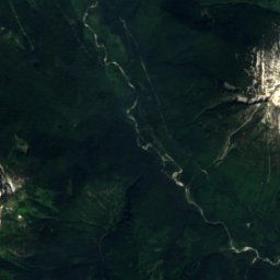
Satellite: Sentinel-2 cloudless 2016 by EOX IT Services GmbH · CC BY 4.0 · Contains modified Copernicus Sentinel data 2016
Buckner Mountain
9,114 ft · North Cascades
Heritage


Skagit River Hydroelectric Project
National Register of Historic Places listed place



Satellite: Sentinel-2 cloudless 2016 by EOX IT Services GmbH · CC BY 4.0 · Contains modified Copernicus Sentinel data 2016
Sourdough Mountain Lookout
National Register of Historic Places listed place · 1933
Museums


North Cascades National Park Visitor Center
National Park Service visitor center