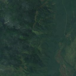
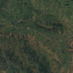
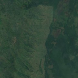
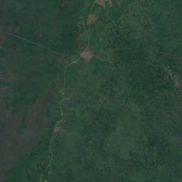
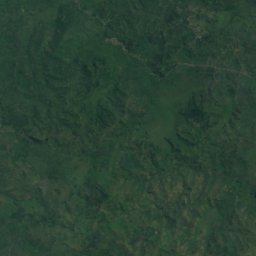
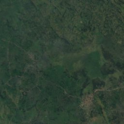
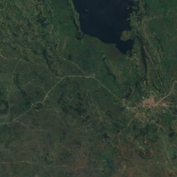
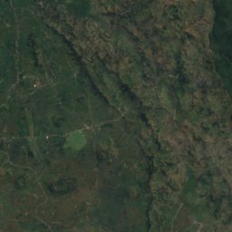
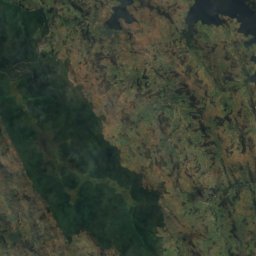
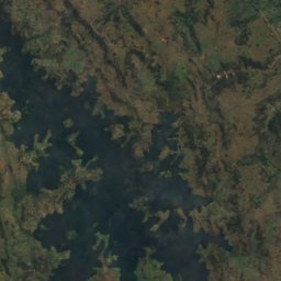
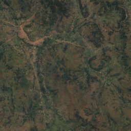
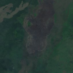
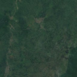
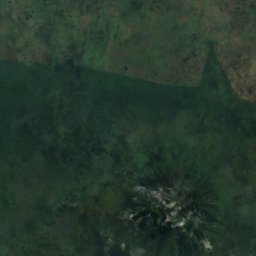
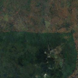
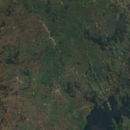
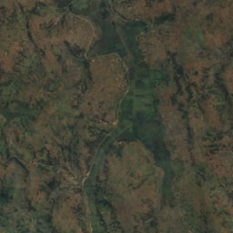
Satellite: Sentinel-2 cloudless 2016 by EOX IT Services GmbH · CC BY 4.0 · Contains modified Copernicus Sentinel data 2016

Photo: The1ste · CC BY-SA 4.0 · Wikimedia Commons
Mount MuhaburaReport this photo · linked, not stored
Mount MuhaburaMount MuhaburaReport this photo · linked, not stored

Photo: Andrew Moore from Johannesburg, South Africa · CC BY-SA 2.0 · Wikimedia Commons
Mount SabyinyoReport this photo · linked, not stored
Mount SabyinyoMount SabyinyoReport this photo · linked, not stored

Photo: Happyartst · CC BY-SA 4.0 · Wikimedia Commons
Mount GahingaReport this photo · linked, not stored
Mount GahingaMount GahingaReport this photo · linked, not stored
Western Region · UgandaSummit weather, forecast and climate
Bufumbira
2,440 m
Elevation2,440 mabove sea level
Prominence–independent height
Isolation11 kmto a higher summit
Summit, Jul22°average high
1.30° S, 29.72° EElevation 2,440 mUTC+3 · East Africa Time
From the valley to the top
- Summit2,440 m
- Mid-mountain2,180 m
- Valley · Kisoro1,924 m
Freezing level in October: above the summit
iThe mountain
Bufumbira in brief
Bufumbira rises to 2,440 m, Western Region, Uganda.
At the summit, August is the mildest month with average highs of 23°, while nights rarely fall below freezing.
The nearest town in the atlas is Kisoro, 3.9 km to the NW at 1,924 m.
Facts
- Elevation
- 2,440 m · 8,005 ft
- Region
- Western Region
- Country
- Uganda
- Coordinates
- -1.3000, 29.7167
- Nearest airport
- Savannah Airstrip (KHX) · 65 km
iiForecast
Weather at three heights
Temperatures are adjusted to each height; summits are usually colder and windier than the valley forecast suggests.
Loading the latest forecast…
Loading the latest forecast…
Loading the latest forecast…
iiiSummit climate
The top of Bufumbira by month
Summit temperatures and precipitation
Climate normals for the summit area (~1 km grid), station-adjusted| Month | Jan | Feb | Mar | Apr | May | Jun | Jul | Aug | Sep | Oct | Nov | Dec |
|---|---|---|---|---|---|---|---|---|---|---|---|---|
| Average high | 21° | 22° | 22° | 22° | 21° | 22° | 22° | 23° | 22° | 21° | 21° | 21° |
| Average low | 13° | 14° | 14° | 14° | 14° | 13° | 13° | 13° | 13° | 14° | 13° | 13° |
| Precipitation | 87 mm | 94 mm | 133 mm | 160 mm | 155 mm | 41 mm | 29 mm | 70 mm | 138 mm | 166 mm | 153 mm | 87 mm |
| Cloud cover | 52% | 54% | 56% | 57% | 48% | 37% | 37% | 41% | 47% | 58% | 58% | 51% |
| Daylight | 12h 11 | 12h 09 | 12h 07 | 12h 05 | 12h 03 | 12h 03 | 12h 03 | 12h 04 | 12h 06 | 12h 08 | 12h 10 | 12h 12 |
| Month score | 67 | 64 | 56 | 56 | 60 | 86 | 89 | 76 | 60 | 55 | 55 | 67 |
Snow and freezing level
Average height of the 0 °C level from the summit normals (6.5 °C per km); snow months have a summit mean at or below +1 °C| Month | Jan | Feb | Mar | Apr | May | Jun | Jul | Aug | Sep | Oct | Nov | Dec |
|---|---|---|---|---|---|---|---|---|---|---|---|---|
| Freezing level | 5,100 m | 5,150 m | 5,200 m | 5,200 m | 5,150 m | 5,100 m | 5,150 m | 5,200 m | 5,150 m | 5,100 m | 5,100 m | 5,100 m |
| Summit | above 0 °C | above 0 °C | above 0 °C | above 0 °C | above 0 °C | above 0 °C | above 0 °C | above 0 °C | above 0 °C | above 0 °C | above 0 °C | above 0 °C |
ivTerrain
Bufumbira in 3D
vNeighbours
Mountains of UgandaPeaks nearby
| Mountain | Elevation | Prominence | Distance | July summit high |
|---|---|---|---|---|
| Mount Muhabura | 4,127 m | 1,530 m | 11 km SW | 12° |
| Mount Sabyinyo | 3,645 m | – | 17 km SW | 17° |
| Mount Gahinga | 3,474 m | 2,821 m | 13 km SW | 14° |
| Birwa | 1,757 m | – | 22 km S | 23° |
viBase towns
Where to stay nearby

Satellite: Sentinel-2 cloudless 2016 by EOX IT Services GmbH · CC BY 4.0 · Contains modified Copernicus Sentinel data 2016
Kinyababa
Northern Province · 13 km SE
22°Oct high
23wet days
52score
Around here
Kisoro and around
Nature


Mountains
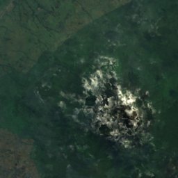
Satellite: Sentinel-2 cloudless 2016 by EOX IT Services GmbH · CC BY 4.0 · Contains modified Copernicus Sentinel data 2016
Mount Karisimbi
4,507 m · Virunga Mountains

Heritage













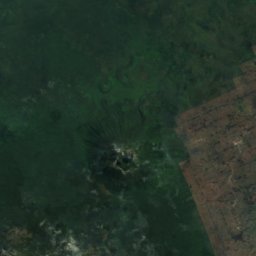
Satellite: Sentinel-2 cloudless 2016 by EOX IT Services GmbH · CC BY 4.0 · Contains modified Copernicus Sentinel data 2016
Mgahinga Gorilla National Park
Tentative World Heritage Site · 1991



Satellite: Sentinel-2 cloudless 2016 by EOX IT Services GmbH · CC BY 4.0 · Contains modified Copernicus Sentinel data 2016
Echuya Forest reserve
Important Bird Area · 1951
Museums





Satellite: Sentinel-2 cloudless 2016 by EOX IT Services GmbH · CC BY 4.0 · Contains modified Copernicus Sentinel data 2016