
Photo: Christian · CC BY-SA 1.0 · Wikimedia Commons
Grand DarrayReport this photo · linked, not stored
Grand DarrayReport this photo · linked, not stored

Photo: Christian David · CC BY-SA 4.0 · Wikimedia Commons
Mont BlancReport this photo · linked, not stored
Mont BlancMont BlancReport this photo · linked, not stored

Photo: Franco56 · CC BY-SA 3.0 · Wikimedia Commons
rocher de la TournetteReport this photo · linked, not stored
rocher de la Tournetterocher de la TournetteReport this photo · linked, not stored

Photo: This file is not in the public domain. Therefore you are requested to use the fo · CC BY-SA 3.0 · Wikimedia Commons
Petite BosseReport this photo · linked, not stored
Petite BossePetite BosseReport this photo · linked, not stored
 les Bosses
Mont Blanc massif · Valais · SwitzerlandSummit weather, forecast and climate
Grand Darray
3,514 mSnow likely Jan–Jun · Sep–Dec
Elevation3,514 mabove sea level
Prominence124 mindependent height
Isolation–to a higher summit
Summit, Jul5°average high
45.96° N, 7.06° EElevation 3,514 mUTC+1 · Central European Standard Time
From the valley to the top
- Summit3,514 m
- Mid-mountain2,550 m
- Valley · La Fouly1,593 m
Freezing level in October: 3,000 m
iThe mountain
Grand Darray in brief
Grand Darray rises to 3,514 m in the Mont Blanc massif, Valais, Switzerland. Its topographic prominence — the height it stands above the lowest contour enclosing a higher summit — is 124 m.
At the summit, August is the mildest month with average highs of 6°, while nights stay below freezing all year. Daytime highs climb above zero from June to September.
The nearest town is La Fouly, 4.0 km to the SE at 1,593 m.
Facts
- Elevation
- 3,514 m · 11,529 ft
- Prominence
- 124 m
- Range
- Mont Blanc massif
- Region
- Valais
- Country
- Switzerland
- Coordinates
- 45.9589, 7.0604
- Nearest airport
- Annecy Meythet airport (NCY) · 74 km
iiForecast
Weather at three heights
Temperatures are adjusted to each height; summits are usually colder and windier than the valley forecast suggests.
Loading the latest forecast…
Loading the latest forecast…
Loading the latest forecast…
iiiSummit climate
The top of Grand Darray by month
Summit temperatures and precipitation
Climate normals for the summit area (~1 km grid), station-adjusted| Month | Jan | Feb | Mar | Apr | May | Jun | Jul | Aug | Sep | Oct | Nov | Dec |
|---|---|---|---|---|---|---|---|---|---|---|---|---|
| Average high | -10° | -9° | -7° | -4° | 0° | 4° | 5° | 6° | 2° | 0° | -6° | -12° |
| Average low | -22° | -17° | -13° | -10° | -7° | -3° | -1° | 0° | -4° | -6° | -17° | -21° |
| Precipitation | 206 mm | 176 mm | 191 mm | 180 mm | 212 mm | 199 mm | 201 mm | 194 mm | 171 mm | 199 mm | 202 mm | 237 mm |
| Cloud cover | 43% | 44% | 44% | 47% | 45% | 39% | 31% | 32% | 37% | 43% | 46% | 45% |
| Daylight | 9h 02 | 10h 22 | 11h 51 | 13h 31 | 14h 56 | 15h 43 | 15h 24 | 14h 11 | 12h 35 | 10h 59 | 9h 29 | 8h 40 |
| Month score | 20 | 19 | 19 | 18 | 19 | 21 | 25 | 24 | 22 | 20 | 18 | 19 |
Snow and freezing level
Average height of the 0 °C level from the summit normals (6.5 °C per km); snow months have a summit mean at or below +1 °C| Month | Jan | Feb | Mar | Apr | May | Jun | Jul | Aug | Sep | Oct | Nov | Dec |
|---|---|---|---|---|---|---|---|---|---|---|---|---|
| Freezing level | 1,050 m | 1,550 m | 1,950 m | 2,400 m | 3,000 m | 3,550 m | 3,850 m | 3,900 m | 3,400 m | 3,000 m | 1,750 m | 1,000 m |
| Summit | ❄ snow | ❄ snow | ❄ snow | ❄ snow | ❄ snow | ❄ snow | above 0 °C | above 0 °C | ❄ snow | ❄ snow | ❄ snow | ❄ snow |
ivTerrain
Grand Darray in 3D
vNeighbours
Mountains of SwitzerlandPeaks nearby
| Mountain | Elevation | Prominence | Distance | July summit high |
|---|---|---|---|---|
| Central Pillar of Frêney | 4,810 m | – | 21 km SW | -1° |
| Mont Blanc | 4,806 m | 4,692 m | 21 km SW | 0° |
| rocher de la Tournette | 4,677 m | – | 21 km SW | 0° |
| Petite Bosse | 4,547 m | 2 m | 21 km SW | 1° |
| les Bosses | 4,547 m | – | 21 km SW | 1° |
| Grande Bosse | 4,510 m | 5 m | 21 km SW | 1° |
| Picco Luigi Amedeo | 4,469 m | 39 m | 22 km SW | 3° |
| Mont Maudit | 4,465 m | 162 m | 19 km SW | 2° |


Around here
La Fouly and around
Nature


Photo: Saleina.jpg: Poschi derivative work: Pro2 (talk) · CC BY-SA 3.0 · Wikimedia CommonsReport this photo · linked, not stored
Saleina Glacier
Glacier

Mountains
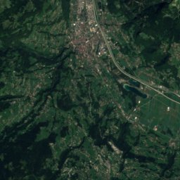
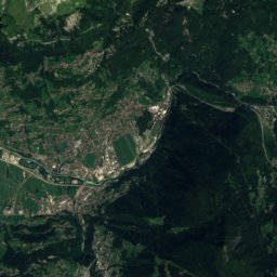
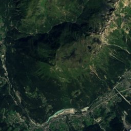
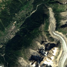
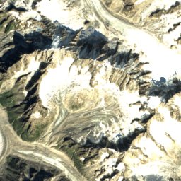
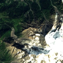
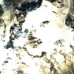
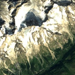
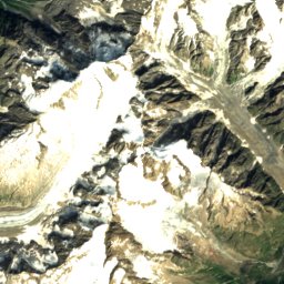
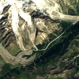
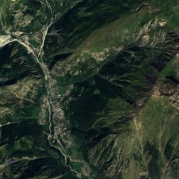
Satellite: Sentinel-2 cloudless 2016 by EOX IT Services GmbH · CC BY 4.0 · Contains modified Copernicus Sentinel data 2016
Central Pillar of Frêney
4,810 m

Heritage

Photo: Hagai Agmon-Snir حچاي اچمون-سنير חגי אגמון-שניר · CC BY-SA 4.0 · Wikimedia CommonsReport this photo · linked, not stored
Great St Bernard Pass
Swiss townscape worthy of protection


Great St Bernard Hospice
class A Swiss cultural property of national significance · 1001
Museums

Museum of the Great Saint Bernard Hospice with treasure
Local museum

Satellite: Sentinel-2 cloudless 2016 by EOX IT Services GmbH · CC BY 4.0 · Contains modified Copernicus Sentinel data 2016
Artillery Fort of Champex



Satellite: Sentinel-2 cloudless 2016 by EOX IT Services GmbH · CC BY 4.0 · Contains modified Copernicus Sentinel data 2016