
Mont BlancReport this photo · linked, not stored

rocher de la TournetteReport this photo · linked, not stored
 les Bosses

Petite BosseReport this photo · linked, not stored

Picco Luigi AmedeoReport this photo · linked, not stored
Mont Blanc
- Summit4,806 m
- Mid-mountain3,060 m
- Valley · Entrèves1,321 m
Freezing level in October: 2,700 m
Mont Blanc in brief
Mont Blanc rises to 4,806 m in the Mont Blanc massif, Auvergne-Rhône-Alpes, France. Its topographic prominence — the height it stands above the lowest contour enclosing a higher summit — is 4,692 m, which makes it an ultra-prominent peak.
At the summit, July is the mildest month with average highs of 0°, while nights stay below freezing all year. Even daytime highs stay below zero in every month.
The summit lies on the border between France and Italy, so it appears in the mountain lists of both countries.
The nearest town in the atlas is Entrèves, 7.6 km to the E at 1,321 m.
Facts
- Elevation
- 4,806 m · 15,766 ft
- Prominence
- 4,692 m
- Range
- Mont Blanc massif
- Region
- Auvergne-Rhône-Alpes
- Country
- France
- Coordinates
- 45.8328, 6.8650
- Nearest airport
- Annecy Meythet airport (NCY) · 60 km
Weather at three heights
Temperatures are adjusted to each height; summits are usually colder and windier than the valley forecast suggests.
Loading the latest forecast…
Loading the latest forecast…
Loading the latest forecast…
The top of Mont Blanc by month
Summit temperatures and precipitation
Climate normals for the summit area (~1 km grid), station-adjusted| Month | Jan | Feb | Mar | Apr | May | Jun | Jul | Aug | Sep | Oct | Nov | Dec |
|---|---|---|---|---|---|---|---|---|---|---|---|---|
| Average high | -22° | -19° | -16° | -13° | -8° | -3° | 0° | -1° | -4° | -9° | -16° | -21° |
| Average low | -30° | -29° | -25° | -22° | -18° | -13° | -10° | -11° | -14° | -19° | -25° | -29° |
| Precipitation | 282 mm | 237 mm | 249 mm | 217 mm | 263 mm | 257 mm | 244 mm | 241 mm | 222 mm | 268 mm | 260 mm | 320 mm |
| Cloud cover | 41% | 40% | 41% | 45% | 43% | 36% | 27% | 29% | 34% | 41% | 43% | 42% |
| Daylight | 9h 03 | 10h 22 | 11h 51 | 13h 31 | 14h 55 | 15h 42 | 15h 23 | 14h 10 | 12h 35 | 10h 59 | 9h 30 | 8h 41 |
| Month score | 20 | 21 | 20 | 19 | 20 | 23 | 25 | 25 | 23 | 20 | 20 | 20 |
Snow and freezing level
Average height of the 0 °C level from the summit normals (6.5 °C per km); snow months have a summit mean at or below +1 °C| Month | Jan | Feb | Mar | Apr | May | Jun | Jul | Aug | Sep | Oct | Nov | Dec |
|---|---|---|---|---|---|---|---|---|---|---|---|---|
| Freezing level | 850 m | 1,100 m | 1,650 m | 2,150 m | 2,800 m | 3,500 m | 3,950 m | 3,950 m | 3,400 m | 2,700 m | 1,600 m | 900 m |
| Summit | ❄ snow | ❄ snow | ❄ snow | ❄ snow | ❄ snow | ❄ snow | ❄ snow | ❄ snow | ❄ snow | ❄ snow | ❄ snow | ❄ snow |
Mont Blanc in 3D
Peaks nearby
| Mountain | Elevation | Prominence | Distance | July summit high |
|---|---|---|---|---|
| Central Pillar of Frêney | 4,810 m | – | 0.6 km SE | -1° |
| rocher de la Tournette | 4,677 m | – | 0.4 km W | 0° |
| les Bosses | 4,547 m | – | 0.7 km W | 1° |
| Petite Bosse | 4,547 m | 2 m | 0.9 km NW | 1° |
| Grande Bosse | 4,510 m | 5 m | 0.8 km W | 1° |
| Picco Luigi Amedeo | 4,469 m | 39 m | 1.8 km S | 3° |
| Mont Maudit | 4,465 m | 162 m | 1.9 km NE | 2° |
| Dôme du Goûter | 4,304 m | 68 m | 1.9 km NW | 1° |
Where to stay nearby


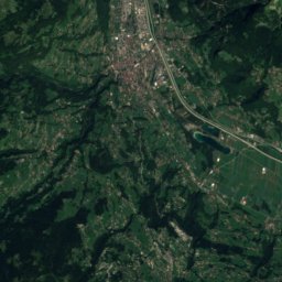
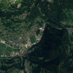
Les Houches and around
Nature


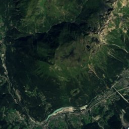
Miage Glacier

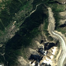
Glacier de la Brenva
Mountains
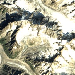
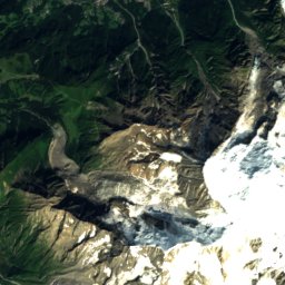
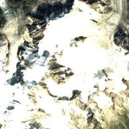
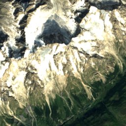
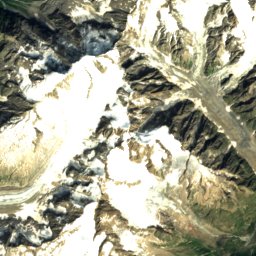
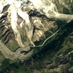
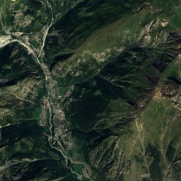
Central Pillar of Frêney
Petite Bosse
Heritage


Église Notre-Dame de Toute Grâce du Plateau d'Assy


