
Photo: Unai Fdz. de Betoño · CC BY-SA 4.0 · Wikimedia Commons
KapilduiReport this photo · linked, not stored
KapilduiReport this photo · linked, not stored

Photo: Lozano Manzanedo · CC BY-SA 4.0 · Wikimedia Commons
JoarReport this photo · linked, not stored
JoarJoarReport this photo · linked, not stored

Photo: Derbeth · CC BY 4.0 · Wikimedia Commons
La Plana, NavarreReport this photo · linked, not stored
La Plana, NavarreLa Plana, NavarreReport this photo · linked, not stored
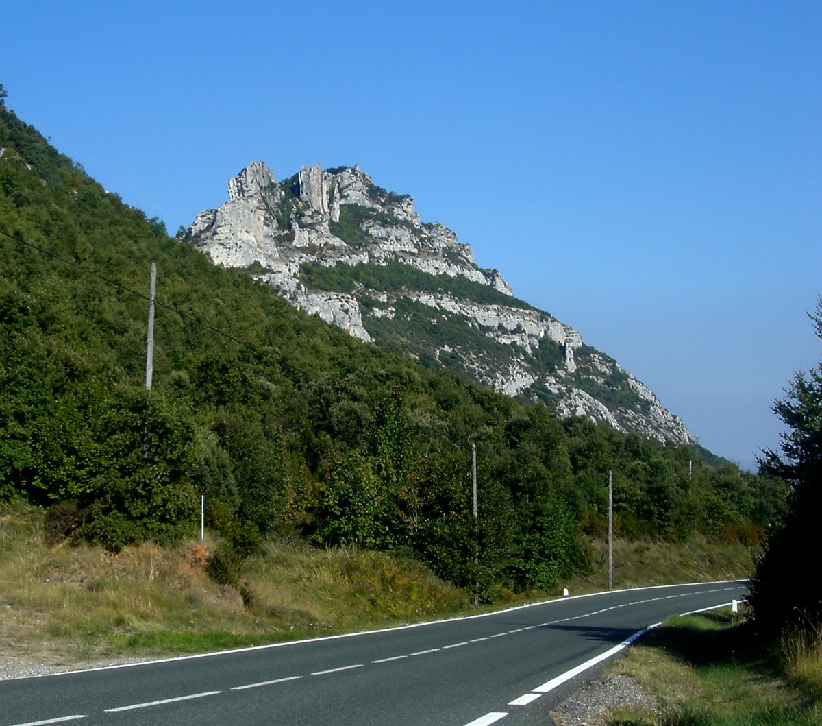
Photo: Asier Sarasua Garmendia, Assar · CC BY-SA 3.0 · Wikimedia Commons
EskameloReport this photo · linked, not stored
EskameloEskameloReport this photo · linked, not stored
 Burgalaitz
Vitoria-Gasteiz mountains · Basque Country · SpainSummit weather, forecast and climate
Kapildui
1,177 m
Elevation1,177 mabove sea level
Prominence340 mindependent height
Isolation19 kmto a higher summit
Summit, Jul24°average high
42.77° N, 2.54° WElevation 1,177 mUTC+1 · Central European Standard Time
From the valley to the top
- Summit1,177 m
- Mid-mountain990 m
- Valley · Azazeta809 m
Freezing level in October: above the summit
iThe mountain
Kapildui in brief
Kapildui rises to 1,177 m in the Vitoria-Gasteiz mountains, Basque Country, Spain. Its topographic prominence — the height it stands above the lowest contour enclosing a higher summit — is 340 m.
At the summit, August is the mildest month with average highs of 24°, while nights fall below freezing in 2 months of the year.
The nearest town is Azazeta, 3.3 km to the E at 809 m.
Facts
- Elevation
- 1,177 m · 3,862 ft
- Prominence
- 340 m
- Range
- Vitoria-Gasteiz mountains
- Region
- Basque Country
- Country
- Spain
- Coordinates
- 42.7672, -2.5361
- Nearest airport
- Vitoria Airport (VIT) · 20 km
iiForecast
Weather at three heights
Temperatures are adjusted to each height; summits are usually colder and windier than the valley forecast suggests.
Loading the latest forecast…
Loading the latest forecast…
Loading the latest forecast…
iiiSummit climate
The top of Kapildui by month
Summit temperatures and precipitation
Climate normals for the summit area (~1 km grid), station-adjusted| Month | Jan | Feb | Mar | Apr | May | Jun | Jul | Aug | Sep | Oct | Nov | Dec |
|---|---|---|---|---|---|---|---|---|---|---|---|---|
| Average high | 7° | 7° | 11° | 13° | 17° | 21° | 24° | 24° | 20° | 15° | 10° | 7° |
| Average low | 0° | -1° | 1° | 3° | 6° | 9° | 11° | 11° | 9° | 6° | 3° | 0° |
| Precipitation | 131 mm | 104 mm | 109 mm | 130 mm | 105 mm | 67 mm | 50 mm | 46 mm | 68 mm | 111 mm | 146 mm | 140 mm |
| Cloud cover | 56% | 51% | 50% | 51% | 49% | 43% | 37% | 37% | 39% | 46% | 53% | 57% |
| Daylight | 9h 23 | 10h 33 | 11h 53 | 13h 22 | 14h 37 | 15h 19 | 15h 02 | 13h 57 | 12h 32 | 11h 06 | 9h 46 | 9h 03 |
| Month score | 14 | 21 | 23 | 30 | 55 | 76 | 83 | 84 | 78 | 49 | 15 | 14 |
Snow and freezing level
Average height of the 0 °C level from the summit normals (6.5 °C per km); snow months have a summit mean at or below +1 °C| Month | Jan | Feb | Mar | Apr | May | Jun | Jul | Aug | Sep | Oct | Nov | Dec |
|---|---|---|---|---|---|---|---|---|---|---|---|---|
| Freezing level | 1,650 m | 1,650 m | 2,100 m | 2,350 m | 2,850 m | 3,500 m | 3,850 m | 3,900 m | 3,400 m | 2,800 m | 2,100 m | 1,750 m |
| Summit | above 0 °C | above 0 °C | above 0 °C | above 0 °C | above 0 °C | above 0 °C | above 0 °C | above 0 °C | above 0 °C | above 0 °C | above 0 °C | above 0 °C |
ivTerrain
Kapildui in 3D
vNeighbours
Mountains of SpainPeaks nearby
| Mountain | Elevation | Prominence | Distance | July summit high |
|---|---|---|---|---|
| Palomares | 1,446 m | – | 19 km S | 24° |
| Joar | 1,419 m | 620 m | 21 km SE | 24° |
| Cervera (mountain) | 1,384 m | – | 20 km SW | 24° |
| La Plana, Navarre | 1,337 m | 110 m | 22 km SE | 24° |
| Eskamelo | 1,292 m | – | 22 km SW | 24° |
| Burgalaitz | 1,282 m | – | 25 km NE | 22° |
| Milpiribil | 1,279 m | – | 25 km NE | 22° |
| Tolono | 1,263 m | 300 m | 24 km SW | 24° |
viBase towns
Where to stay nearby


Photo: Asier Sarasua Garmendia, Assar · CC BY-SA 4.0 · Wikimedia CommonsReport this photo · linked, not stored
Arluzea
Basque Country · 4.5 km S
17°Oct high
12wet days
60score

Virgala Mayor/Birgaragoien
Basque Country · 5.2 km E
17°Oct high
12wet days
61score
Around here
Azazeta and around
Nature


Mountains


Heritage

Photo: http://www.argazkiak.org/garaolaza/ · CC BY-SA 3.0 · Wikimedia CommonsReport this photo · linked, not stored
Sanctuary of Nuestra Señora de Estíbaliz
bien de interés cultural

Church of Santa María, Agurain/Salvatierra
Monumental ensemble (Basque Autonomous Community) · 1600

Museums


Centro de Interpretación de la Vía Verde del Ferrocarril Vasco-Navarro
Interpretation centre