
Photo: Krzysztof Golik · CC BY-SA 4.0 · Wikimedia Commons
Ega riverReport this photo · linked, not stored
Ega riverReport this photo · linked, not stored

Photo: Unai Fdz. de Betoño · CC BY 3.0 · Wikimedia Commons
caves of Laño and SantorkariaReport this photo · linked, not stored
caves of Laño and Santorkariacaves of Laño and SantorkariaReport this photo · linked, not stored

Photo: Lozano Manzanedo · CC BY-SA 4.0 · Wikimedia Commons
JoarReport this photo · linked, not stored
JoarJoarReport this photo · linked, not stored

Photo: Derbeth · CC BY 4.0 · Wikimedia Commons
La Plana, NavarreReport this photo · linked, not stored
La Plana, NavarreLa Plana, NavarreReport this photo · linked, not stored

Photo: Asier Sarasua Garmendia, Assar · CC BY-SA 3.0 · Wikimedia Commons
EskameloReport this photo · linked, not stored
EskameloEskameloReport this photo · linked, not stored
RiverPipaón, Basque Country
Ega river
River290 m elevationBest Jun–Jul · Sep
Elevation290 mabove sea level
Length113 kmsource to mouth
Nearest townPipaón1.6 km
42.61° N, 2.62° WElevation 290 mUTC+2 · Central European Summer Time
When to goPipaón · weather score
Best timeJun–Jul · Sep
October: high / low17° / 7°
River
Ega river in brief
Ega river is a river in Pipaón, Basque Country, Spain.
It lies at 290 m above sea level.
The nearest town in the atlas is Pipaón, 1.6 km to the W, where the weather is best in June, July and September.
Ega river is 113 km long.
Weather nearby now
Forecast for Pipaón13°
Cloudy now
Today
22 Oct
14°
3°
Fri
23 Oct
14°
7°
1 mm
Sat
24 Oct
16°
2°
Sun
25 Oct
19°
6°
Mon
26 Oct
19°
5°
Model run 00:00 UTCRefreshed several times a day
The course of the river
As mapped in OpenStreetMap, with the towns of the atlas along its banks.- 1Ayegui493 m
- 2Estella-Lizarra430 m
- 3Villatuerta428 m
- 4Oteiza510 m
- 5Aberin495 m
- 6Morentin537 m
- 7Dicastillo532 m
- 8Lerín442 m
- 9Cárcar401 m
- 10Andosilla316 m
- 11San Adrián301 m
sourcemouth (or where the mapped line leaves the country)
When to go
Climate of PipaónThe best months around Ega river
Month score in Pipaón
Comfort, dry days and sunshine · out of 10015
Jan
19
Feb
30
Mar
39
Apr
61
May
70
Jun
72
Jul
70
Aug
73
Sep
59
Oct
20
Nov
15
Dec
Map
Ega river from above
Nature nearbyAll of Spain

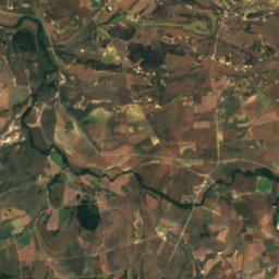
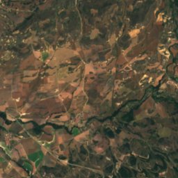
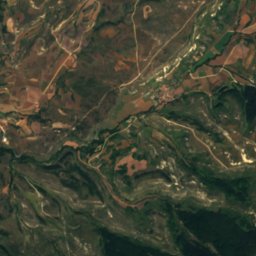
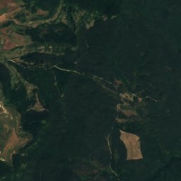
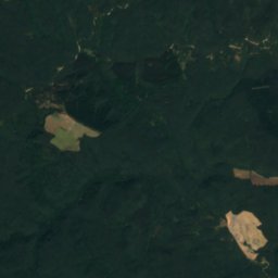
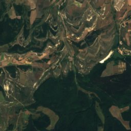
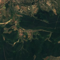
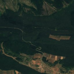
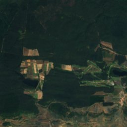
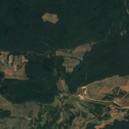
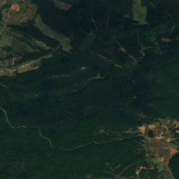
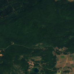
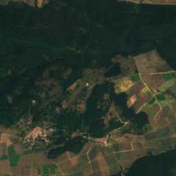
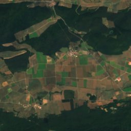
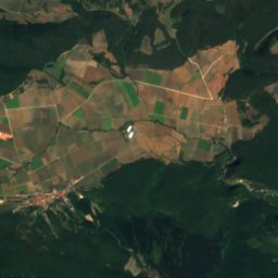
Satellite: Sentinel-2 cloudless 2016 by EOX IT Services GmbH · CC BY 4.0 · Contains modified Copernicus Sentinel data 2016
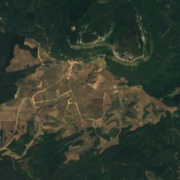
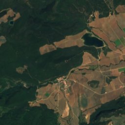
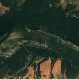
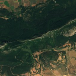
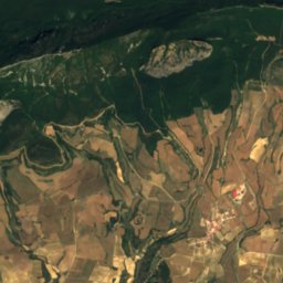
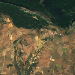
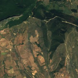
Satellite: Sentinel-2 cloudless 2016 by EOX IT Services GmbH · CC BY 4.0 · Contains modified Copernicus Sentinel data 2016
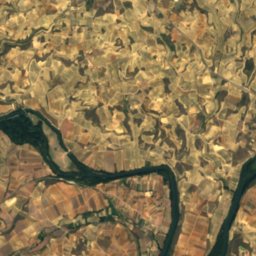
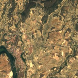
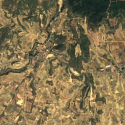
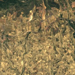
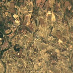
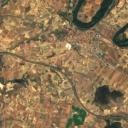
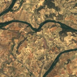
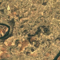
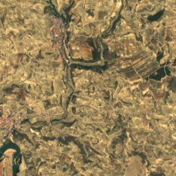
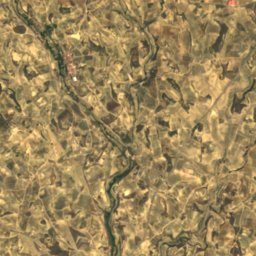
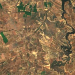
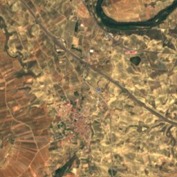
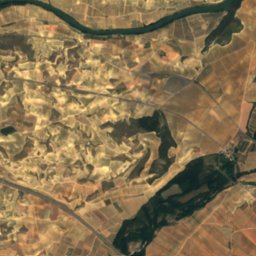
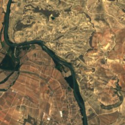
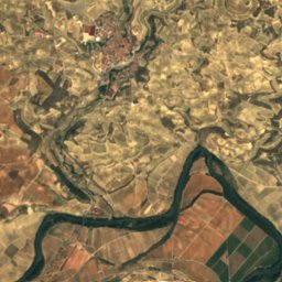
Satellite: Sentinel-2 cloudless 2016 by EOX IT Services GmbH · CC BY 4.0 · Contains modified Copernicus Sentinel data 2016
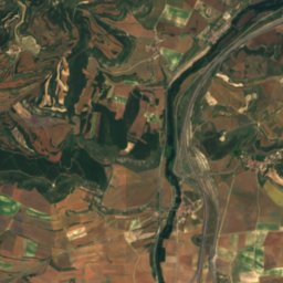
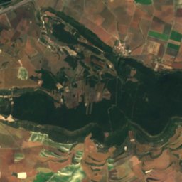
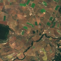
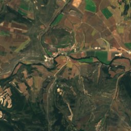
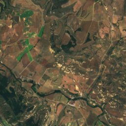
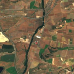
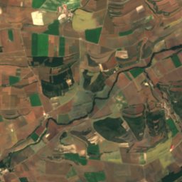
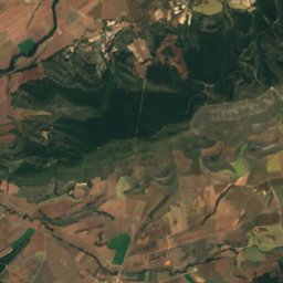
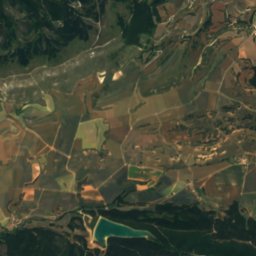
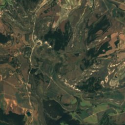
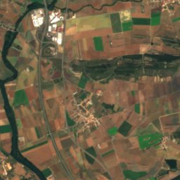
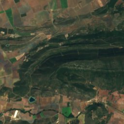
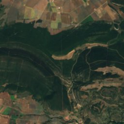
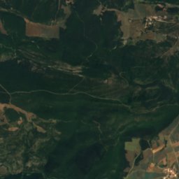
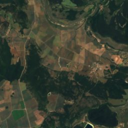
Satellite: Sentinel-2 cloudless 2016 by EOX IT Services GmbH · CC BY 4.0 · Contains modified Copernicus Sentinel data 2016
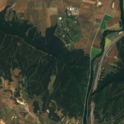
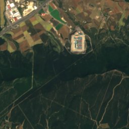
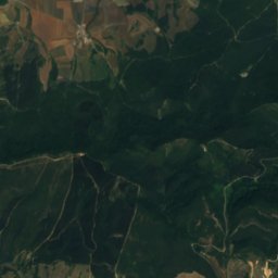
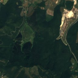
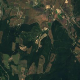
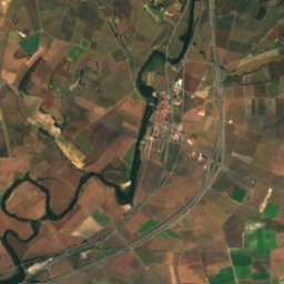
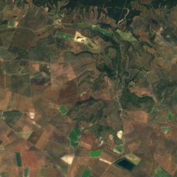
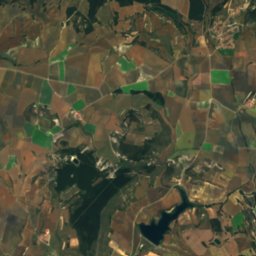
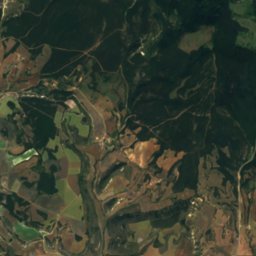
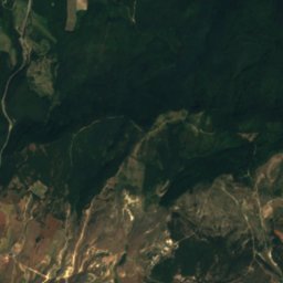
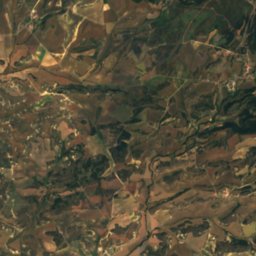
Satellite: Sentinel-2 cloudless 2016 by EOX IT Services GmbH · CC BY 4.0 · Contains modified Copernicus Sentinel data 2016
Summits nearbyMountains of Spain
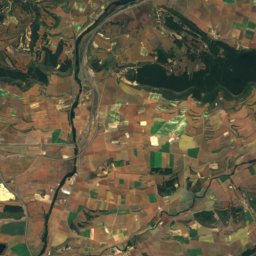
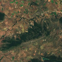
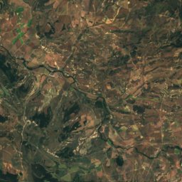
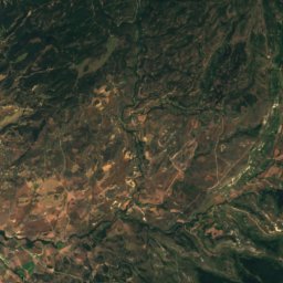
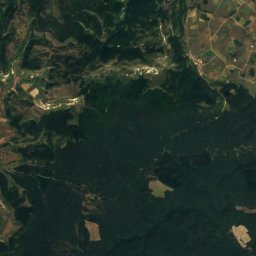
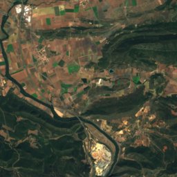
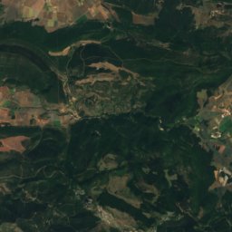
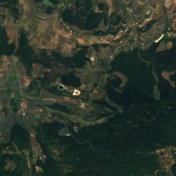
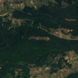
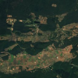
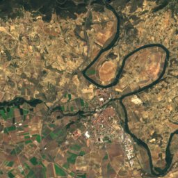
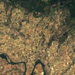
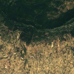
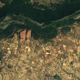
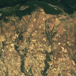
Satellite: Sentinel-2 cloudless 2016 by EOX IT Services GmbH · CC BY 4.0 · Contains modified Copernicus Sentinel data 2016

Satellite: Sentinel-2 cloudless 2016 by EOX IT Services GmbH · CC BY 4.0 · Contains modified Copernicus Sentinel data 2016

Photo: Asier Sarasua Garmendia, Assar · CC BY-SA 3.0 · Wikimedia CommonsReport this photo · linked, not stored


Around here
Pipaón and around
Nature
Satellite: Sentinel-2 cloudless 2016 by EOX IT Services GmbH · CC BY 4.0 · Contains modified Copernicus Sentinel data 2016
Peña Larga
Cave · 900 m
Satellite: Sentinel-2 cloudless 2016 by EOX IT Services GmbH · CC BY 4.0 · Contains modified Copernicus Sentinel data 2016
Embalse de Obécuri
Lake
Mountains
Satellite: Sentinel-2 cloudless 2016 by EOX IT Services GmbH · CC BY 4.0 · Contains modified Copernicus Sentinel data 2016
Palomares
1,446 m · Toloño / Cantabria mountain range
Satellite: Sentinel-2 cloudless 2016 by EOX IT Services GmbH · CC BY 4.0 · Contains modified Copernicus Sentinel data 2016
Cervera (mountain)
1,384 m · Toloño / Cantabria mountain range
Heritage

Hermitage of Santa María de La Piscina
bien de interés cultural · 1136


Church of Nuestra Señora de la Asunción, Labastida
Basque government heritage site
Museums

Museo Etnográfico Usatxi de Pipaón
Ethnographic museum


